Off-Road Trails in Tennessee
Discover off-road trails in Tennessee
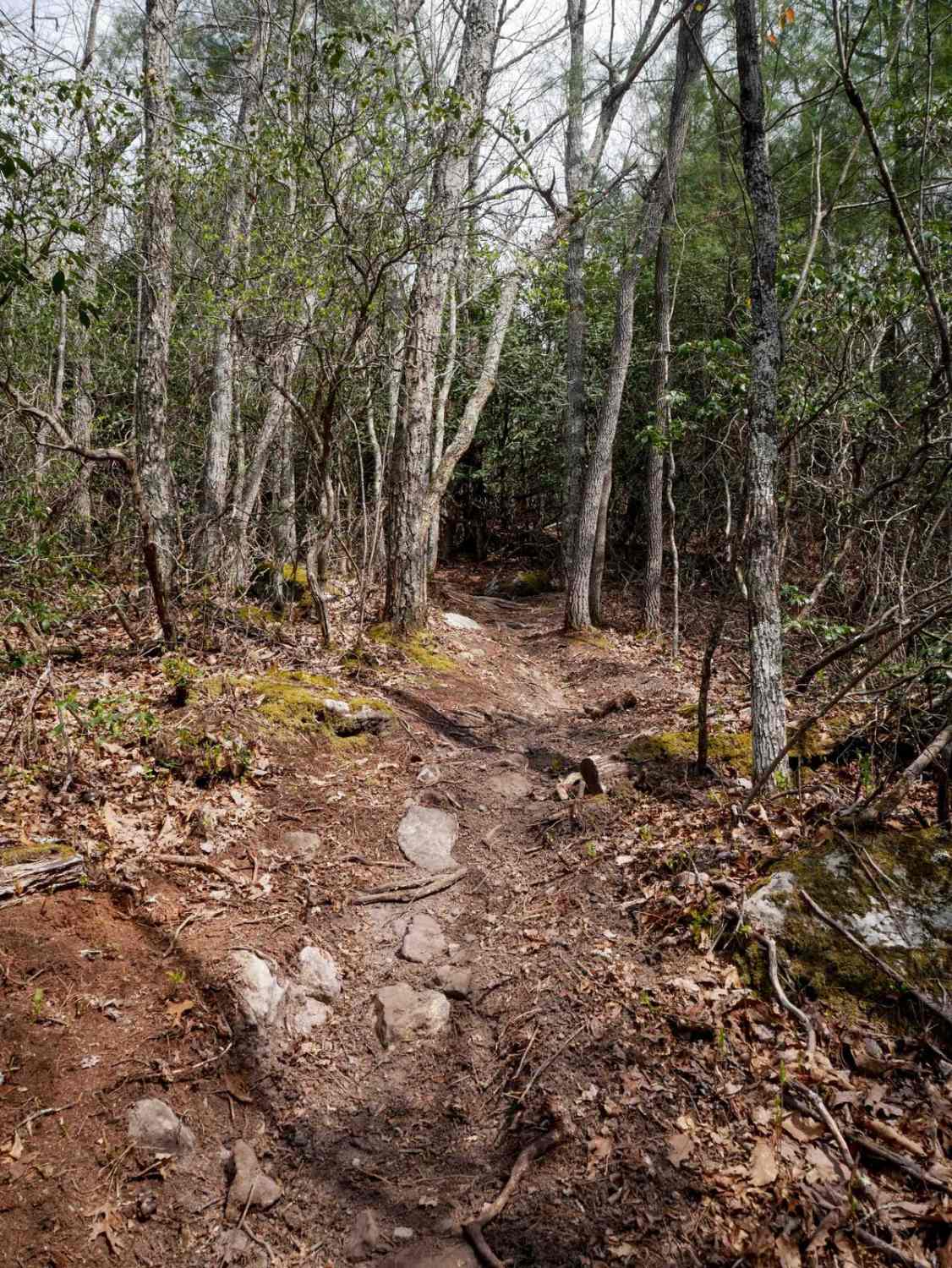
Learn more about Angel Mountain
Angel Mountain
Total Miles
2.5
Tech Rating
Easy
Best Time
Winter, Fall, Summer, Spring
Learn more about Apalachia Tunnel - FS 1166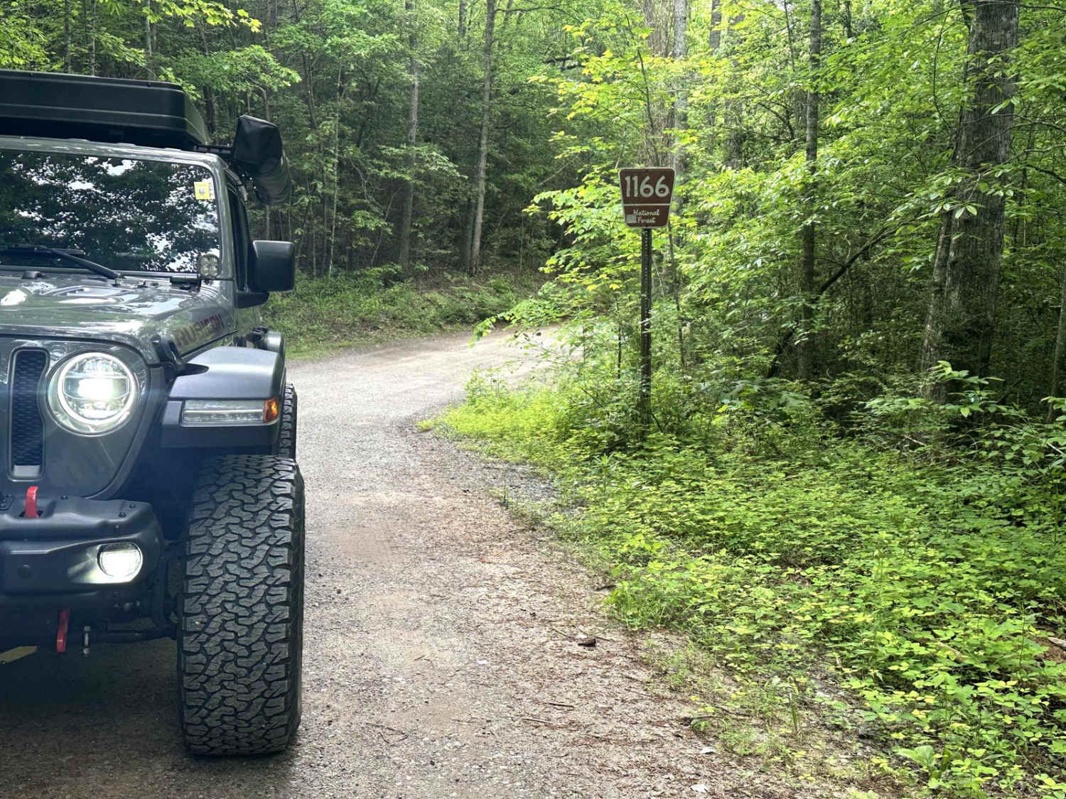
Apalachia Tunnel - FS 1166
Total Miles
1.5
Tech Rating
Easy
Best Time
Spring
Learn more about Artemis Lane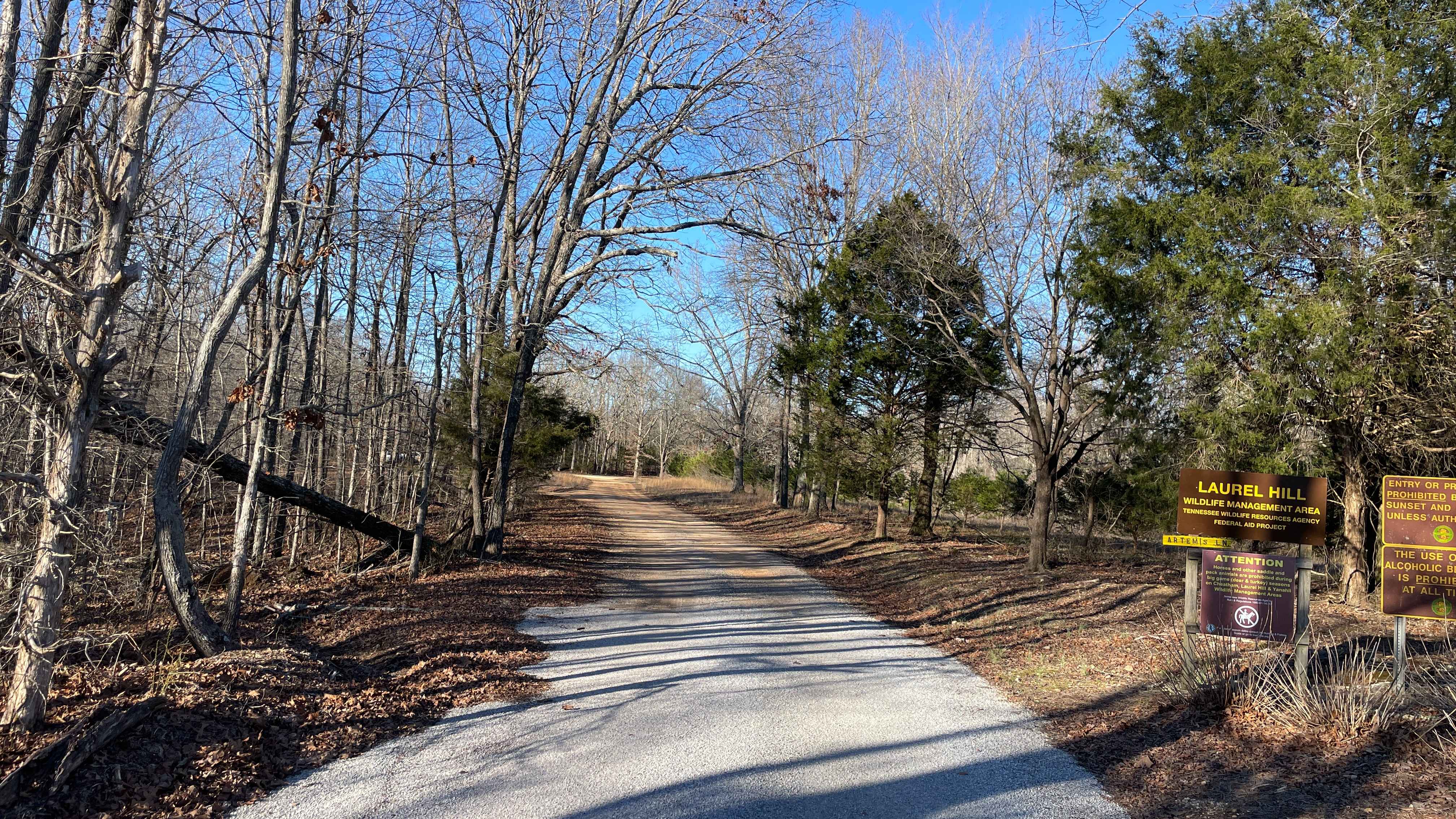
Artemis Lane
Total Miles
6.0
Tech Rating
Easy
Best Time
Spring, Summer, Fall, Winter
Learn more about Austin Hollow
Austin Hollow
Total Miles
0.6
Tech Rating
Moderate
Best Time
Spring, Summer, Fall, Winter

Learn more about Baker Creek - Big Frog
Baker Creek - Big Frog
Total Miles
6.8
Tech Rating
Easy
Best Time
Spring, Summer, Fall, Winter
Learn more about Bandy Creek Trek
Bandy Creek Trek
Total Miles
5.2
Tech Rating
Easy
Best Time
Spring, Summer, Fall, Winter
Learn more about Bark Camp- Lost Cove- Miller's Ridge
Bark Camp- Lost Cove- Miller's Ridge
Total Miles
8.4
Tech Rating
Easy
Best Time
Fall
Learn more about Barrow Cemetery FSR 376
Barrow Cemetery FSR 376
Total Miles
1.9
Tech Rating
Moderate
Best Time
Summer, Winter, Fall, Spring
Learn more about Bear Creek Road
Bear Creek Road
Total Miles
0.6
Tech Rating
Easy
Best Time
Spring, Summer, Fall
Learn more about Bear Creek Road FSR 229
Bear Creek Road FSR 229
Total Miles
2.1
Tech Rating
Easy
Best Time
Spring, Summer, Fall, Winter
Learn more about Bear Hollow Road
Bear Hollow Road
Total Miles
5.1
Tech Rating
Easy
Best Time
Spring, Fall, Winter
Learn more about Beech Grove Road - Macon County Tour
Beech Grove Road - Macon County Tour
Total Miles
0.6
Tech Rating
Easy
Best Time
Spring, Fall

Learn more about Big Creek Road
Big Creek Road
Total Miles
5.3
Tech Rating
Easy
Best Time
Spring, Summer, Fall
Learn more about Big Creek South
Big Creek South
Total Miles
2.7
Tech Rating
Easy
Best Time
Spring, Summer, Fall
Learn more about Big Frog - FS 62
Big Frog - FS 62
Total Miles
11.5
Tech Rating
Easy
Best Time
Spring, Summer, Fall, Winter
Learn more about Big Loop & Big Springs
Big Loop & Big Springs
Total Miles
15.8
Tech Rating
Easy
Best Time
Summer, Fall
ATV trails in Tennessee
Learn more about 1 - Launchpad
1 - Launchpad
Total Miles
1.2
Tech Rating
Easy
Best Time
Spring, Summer, Fall, Winter
Learn more about 11 - Ground Control
11 - Ground Control
Total Miles
0.3
Tech Rating
Easy
Best Time
Spring, Summer, Fall, Winter
UTV/side-by-side trails in Tennessee
Learn more about 1 - Launchpad
1 - Launchpad
Total Miles
1.2
Tech Rating
Easy
Best Time
Spring, Summer, Fall, Winter
Learn more about 11 - Ground Control
11 - Ground Control
Total Miles
0.3
Tech Rating
Easy
Best Time
Spring, Summer, Fall, Winter
The onX Offroad Difference
onX Offroad combines trail photos, descriptions, difficulty ratings, width restrictions, seasonality, and more in a user-friendly interface. Available on all devices, with offline access and full compatibility with CarPlay and Android Auto. Discover what you’re missing today!