Artemis Lane
Total Miles
6.0
Technical Rating
Best Time
Spring, Summer, Fall, Winter
Trail Type
Full-Width Road
Accessible By
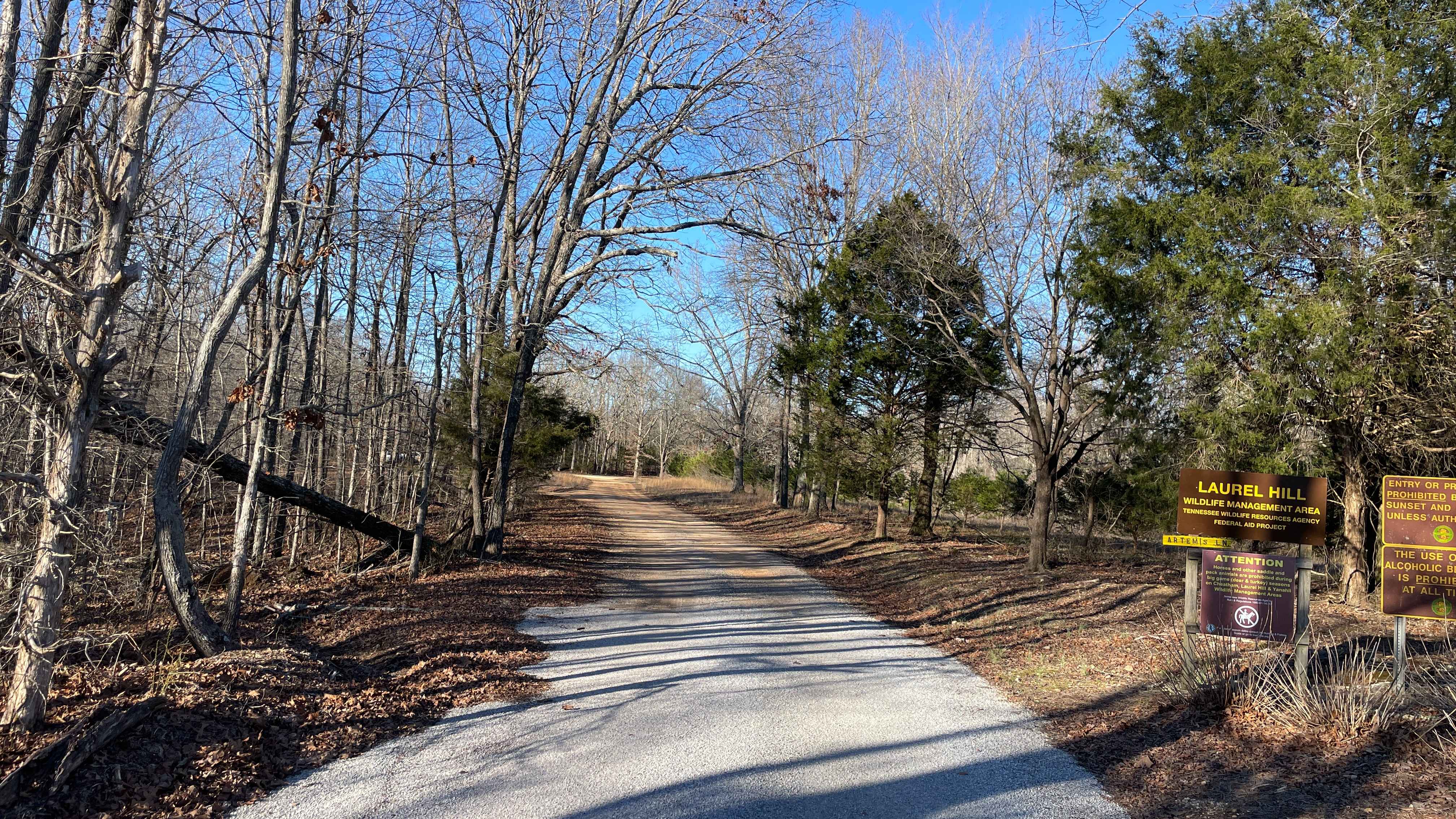
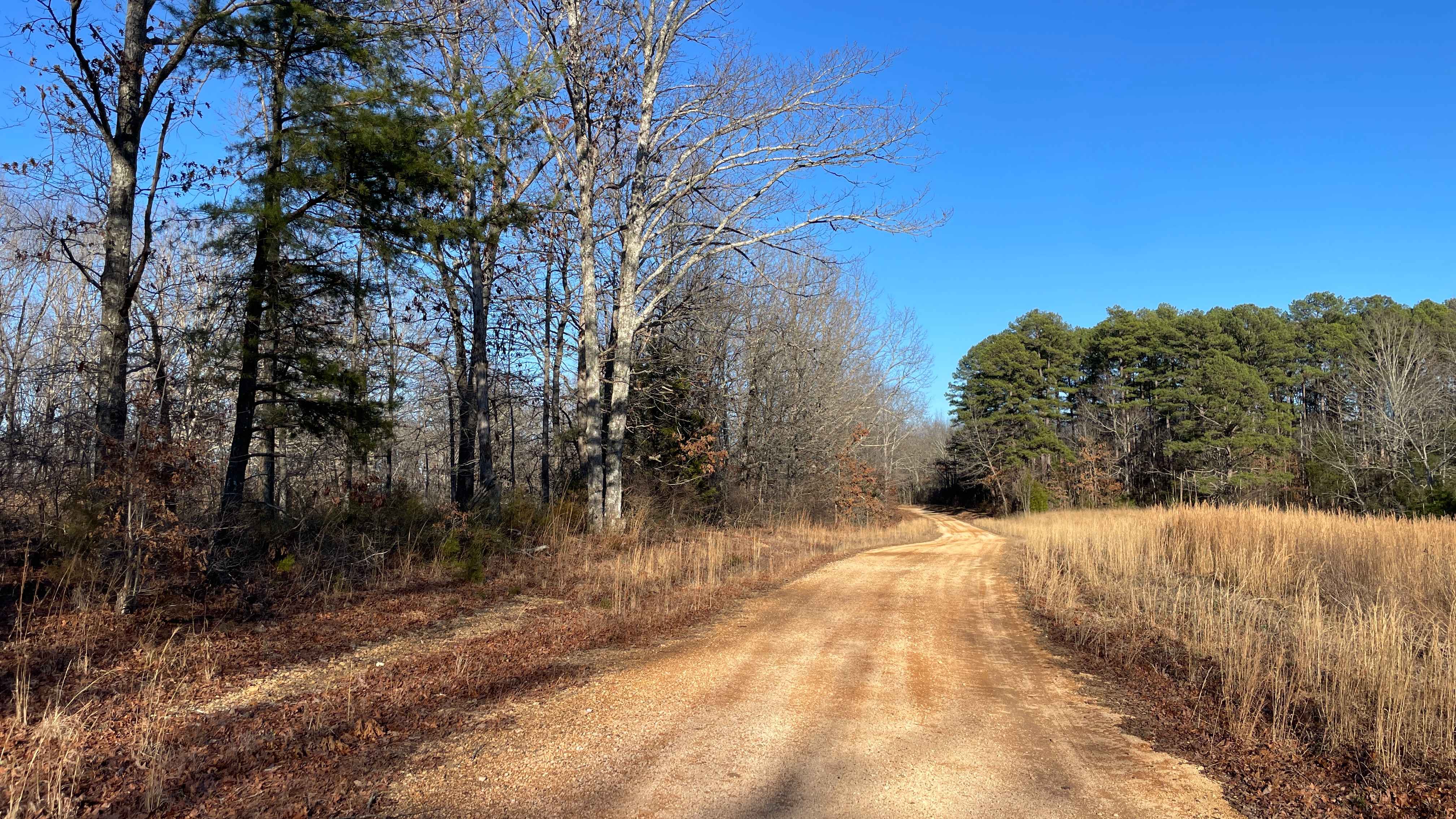
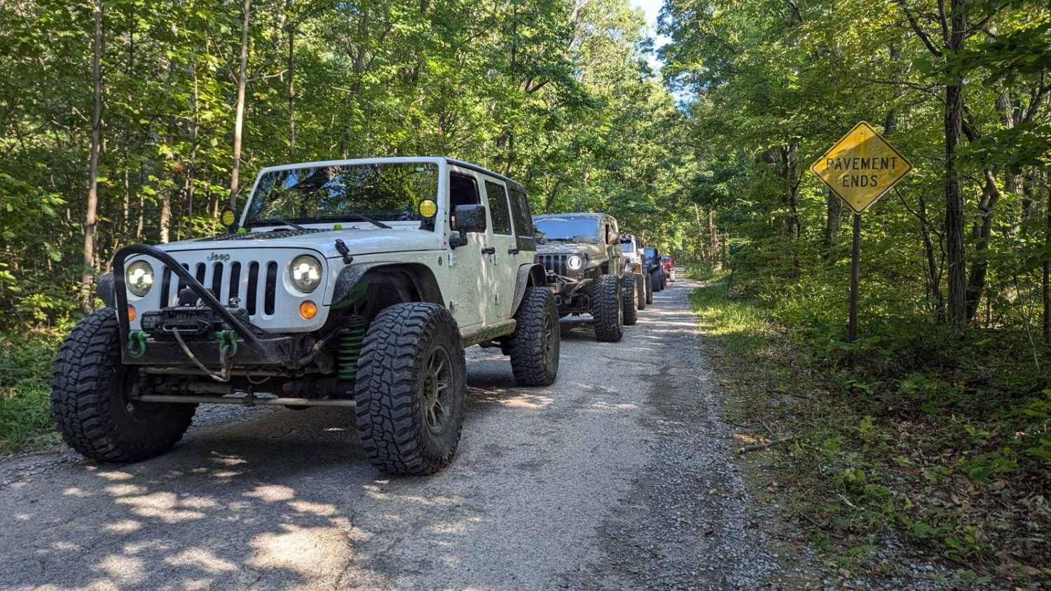
Trail Overview
Artemis Lane is a primary interior access route within Laurel Hill Wildlife Management Area and one of the longest drivable tracks in the system at approximately six miles. Drivers must possess a valid annual Hunt/Fish license, available at GoOutdoorsTennessee.com. Tennessee resident licenses are $33. Access is open year-round and restricted to daylight hours only (closed dusk to dawn). The route consists primarily of compacted gravel and dirt, winding through mixed hardwood forest with gentle elevation changes and long, flowing sections. Artemis Lane features two low-water crossings that are typically shallow and firm but may become impassable after heavy rainfall or during periods of elevated water levels. Outside of these crossings, the road is well-maintained and suitable for stock 4x4 vehicles in dry conditions. Near the southern terminus, there is a privately owned and operated campground that primarily serves horse and wagon riders but welcomes all types of campers. Those interested in camping in the area should search for Laurel Hill Trail Camp for additional details. At the northern end, Artemis Lane transitions onto land managed by the National Park Service and terminates at the Natchez Trace Parkway. Cell service is limited throughout the route, and shared use with wildlife management personnel and recreational users should be expected. Motorized access is open to street-legal vehicles on designated roads within Laurel Hill Wildlife Management Area. Users must possess either a valid Tennessee hunting or fishing license OR a High Impact Habitat Conservation Permit to access the WMA. No additional permits are required for street-legal vehicle travel beyond one of these two options. Off-Highway Vehicle (OHV) use, including ATVs, motorcycles, and Class 3 e-bikes, requires a High Impact Habitat Conservation Permit when operated on designated OHV routes. This permit also applies to riding hooved animals and biking on designated trails. Permits are available as daily or annual options for residents and non-residents, with exemptions for youth under 13 and certain licensed users. Permits may be purchased online or through authorized license vendors.
Photos of Artemis Lane
Difficulty
Rated Easy. Artemis Lane is a maintained gravel route with a stable surface and gentle terrain. The two low-water crossings represent the most technical features and may increase difficulty temporarily during wet conditions. Under normal conditions, the route is suitable for stock 4x4 vehicles.
History
Part of this trail overlaps the historic Natchez Trace National Park lands.
Status Reports
Artemis Lane can be accessed by the following ride types:
- High-Clearance 4x4
- SUV
- SxS (60")
- ATV (50")
- Dirt Bike
Artemis Lane Map
Popular Trails
Duckett Ridge FSR #22B
Phillips Cemetery Lane
Artemis Lane
Green Mountain Road
The onX Offroad Difference
onX Offroad combines trail photos, descriptions, difficulty ratings, width restrictions, seasonality, and more in a user-friendly interface. Available on all devices, with offline access and full compatibility with CarPlay and Android Auto. Discover what you’re missing today!