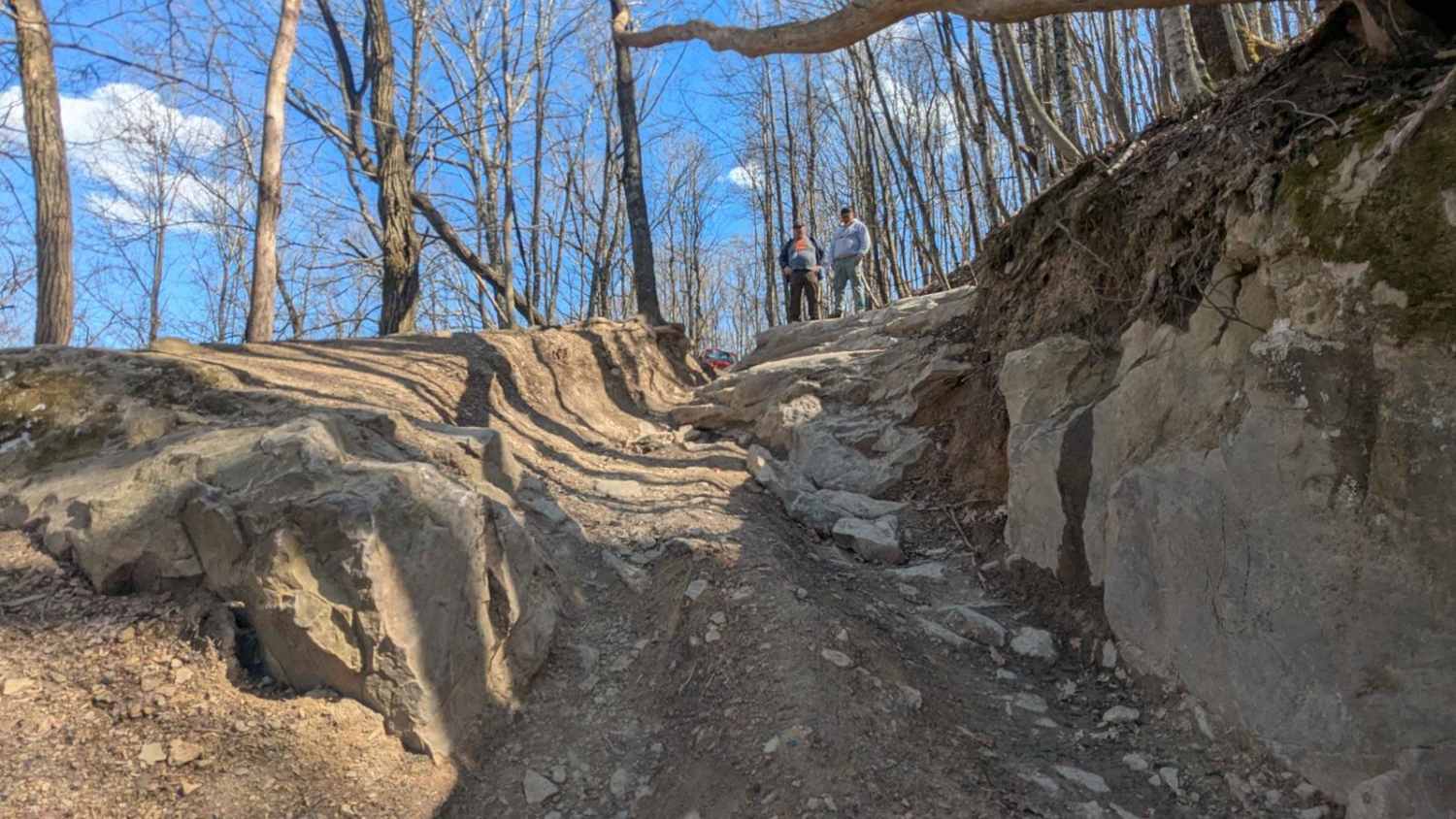
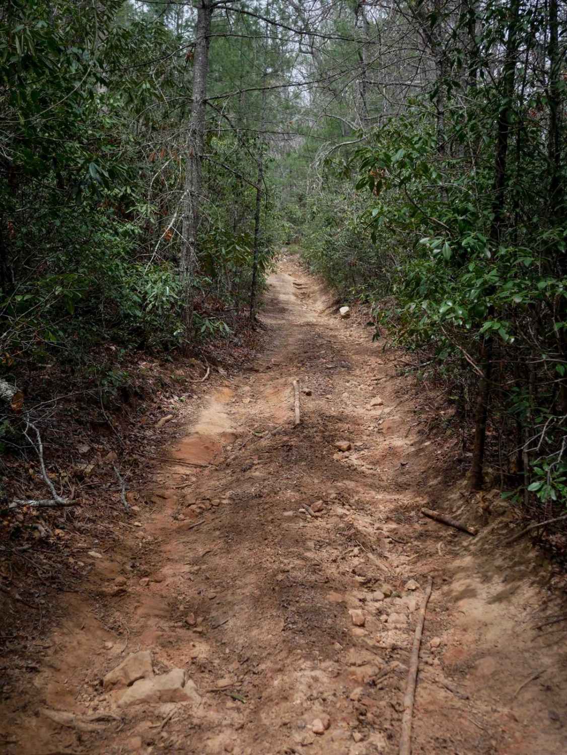
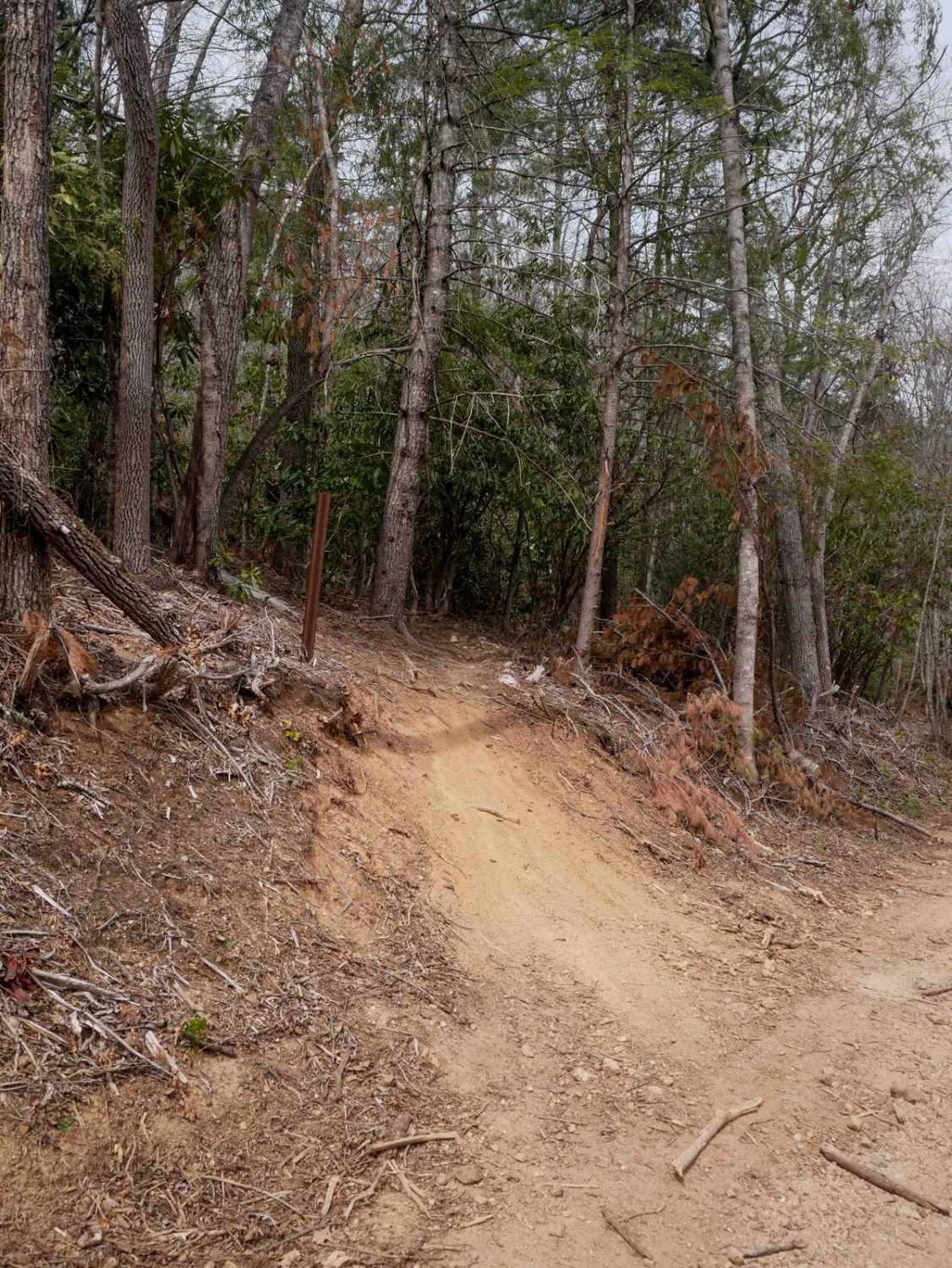
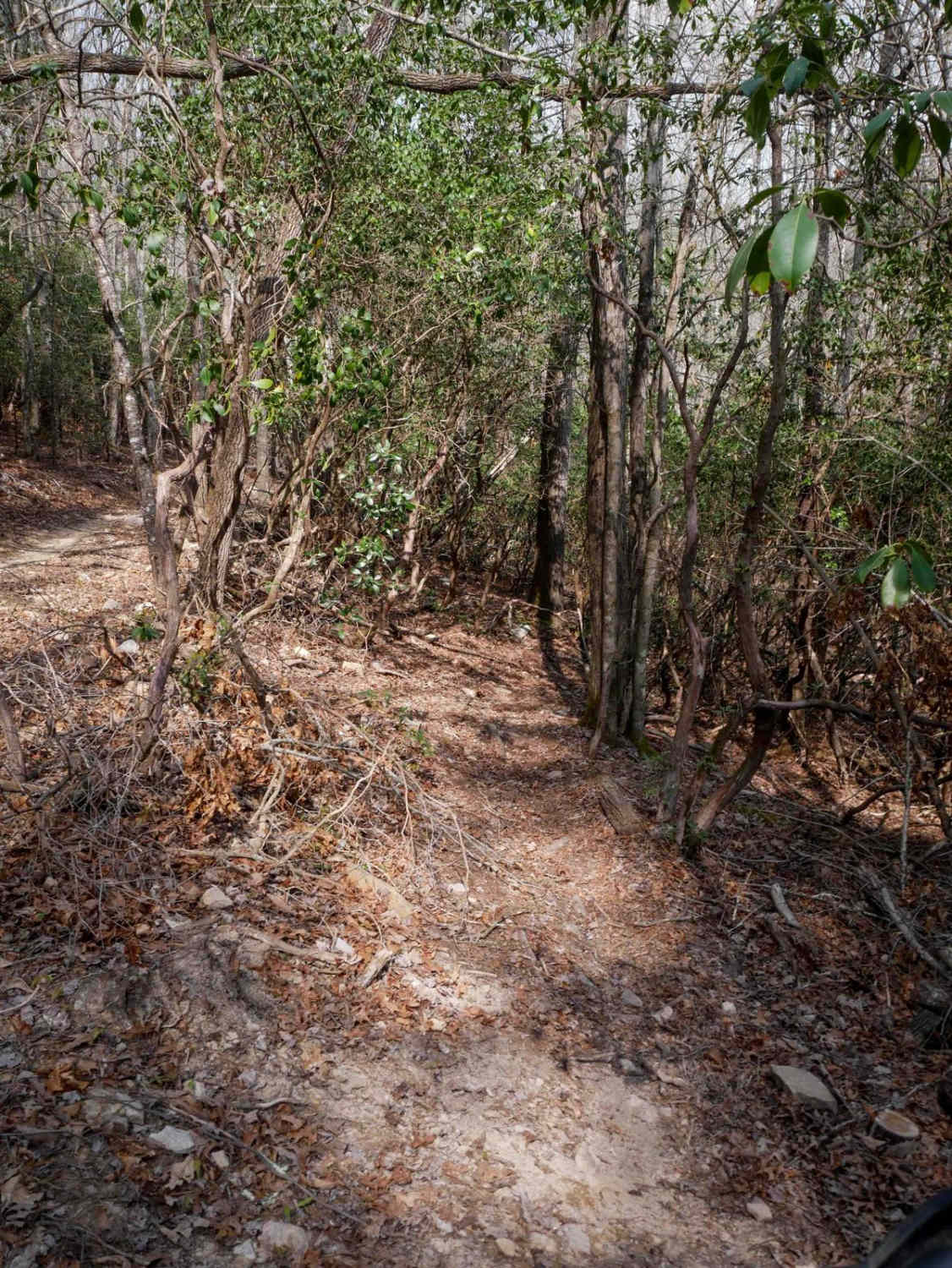
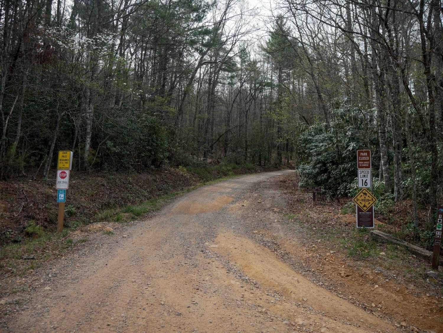
Off-Road Trails in Tennessee
Discover off-road trails in Tennessee
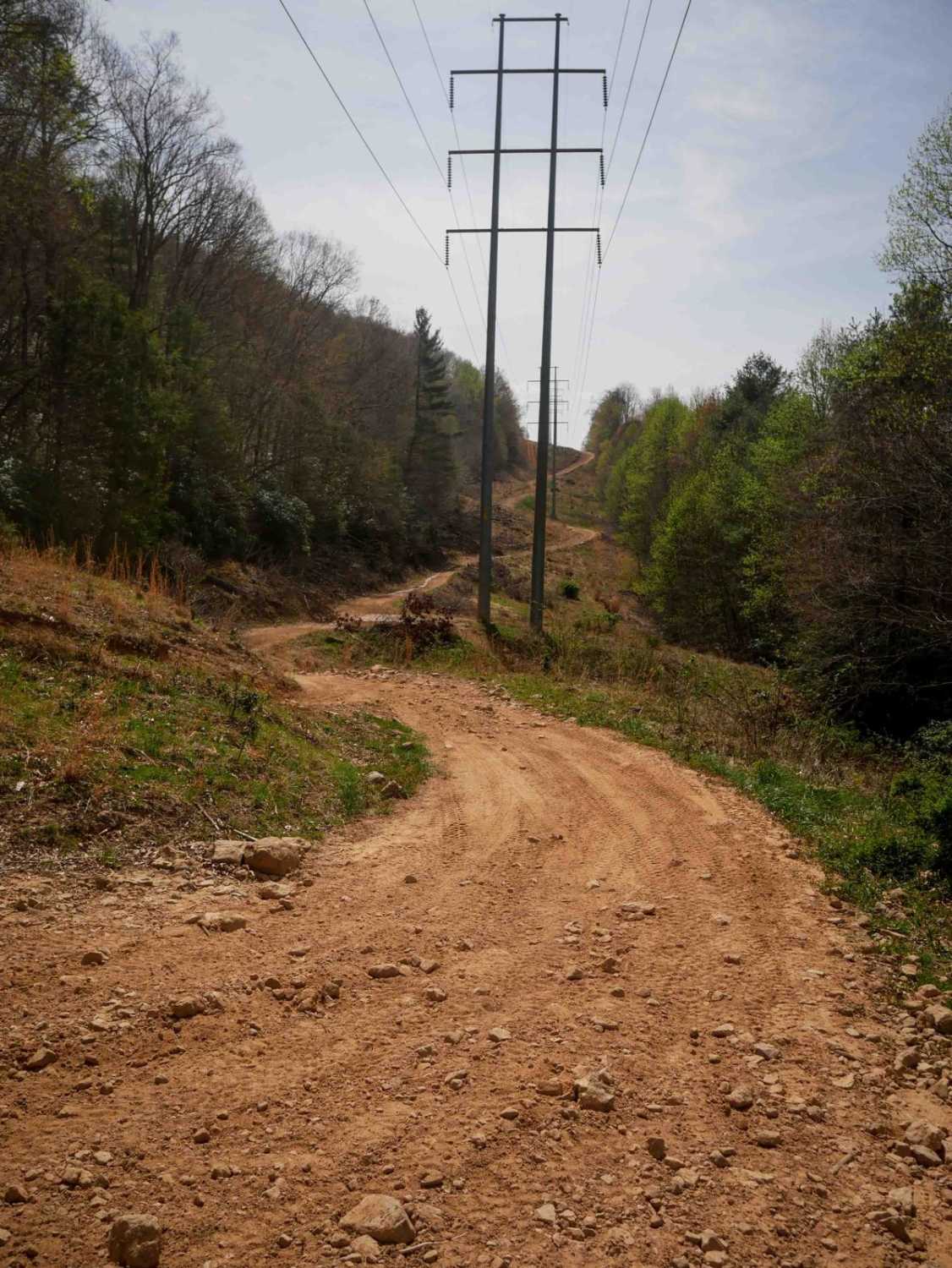
Learn more about 66 - Caryville Flats
66 - Caryville Flats
Total Miles
1.5
Tech Rating
Easy
Best Time
Spring, Summer, Fall, Winter
Learn more about 7 - Ascension 
7 - Ascension
Total Miles
0.1
Tech Rating
Moderate
Best Time
Spring, Summer, Fall, Winter
Learn more about 70 - Disney Hollow
70 - Disney Hollow
Total Miles
3.3
Tech Rating
Moderate
Best Time
Spring, Summer, Fall, Winter
Learn more about 73 - Harness Creek 
73 - Harness Creek
Total Miles
0.6
Tech Rating
Easy
Best Time
Spring, Summer, Fall, Winter
Learn more about 74 - Middle Ridge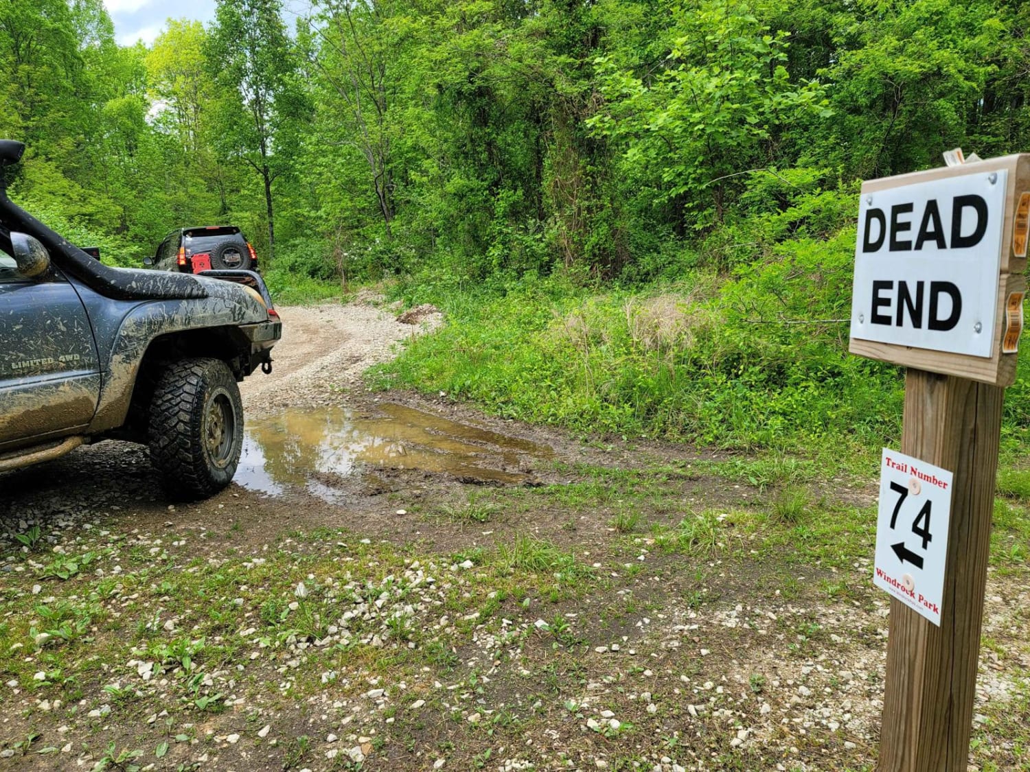
74 - Middle Ridge
Total Miles
1.1
Tech Rating
Easy
Best Time
Spring, Summer, Fall, Winter
Learn more about 8 - Humpback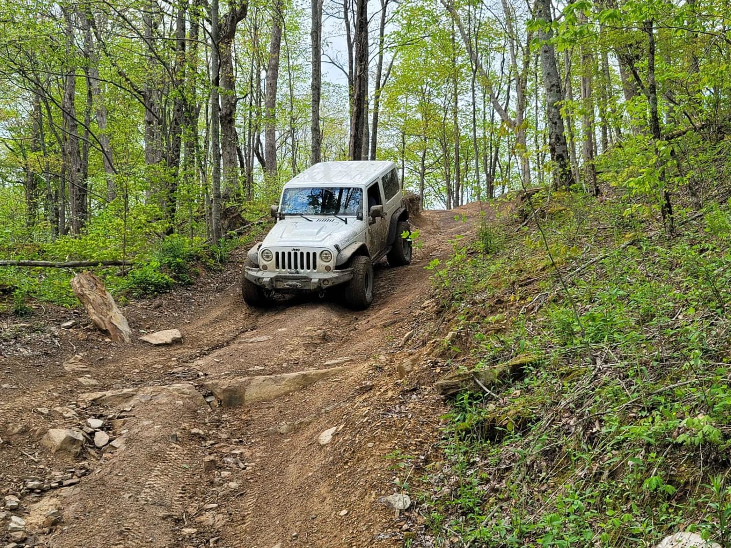
8 - Humpback
Total Miles
1.0
Tech Rating
Easy
Best Time
Spring, Summer, Fall, Winter
Learn more about 8 - Megabit
8 - Megabit
Total Miles
0.1
Tech Rating
Easy
Best Time
Spring, Summer, Fall, Winter
Learn more about 83 - American Knob Bypass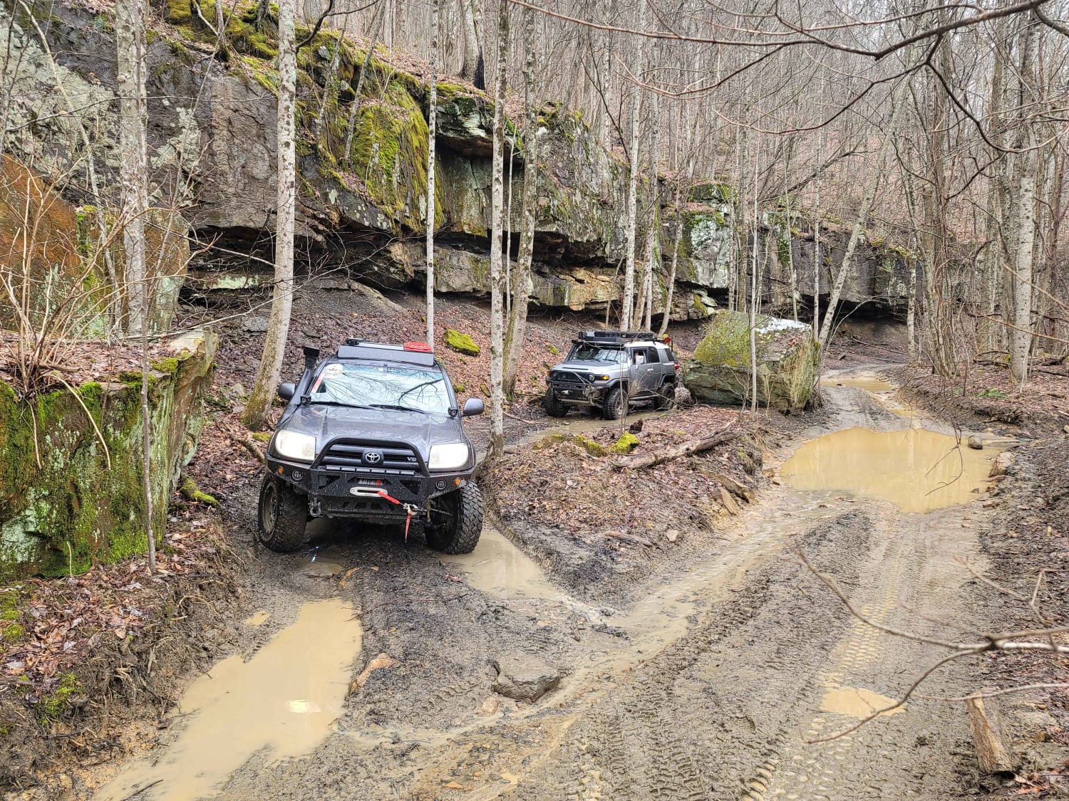
83 - American Knob Bypass
Total Miles
1.3
Tech Rating
Moderate
Best Time
Spring, Summer, Fall, Winter
Learn more about 87-Poplar Creek
87-Poplar Creek
Total Miles
1.4
Tech Rating
Easy
Best Time
Spring, Summer, Fall, Winter
Learn more about 88 - Bearwallow Branch
88 - Bearwallow Branch
Total Miles
4.5
Tech Rating
Moderate
Best Time
Spring, Summer, Fall, Winter
Learn more about 89 - Little Braden Flat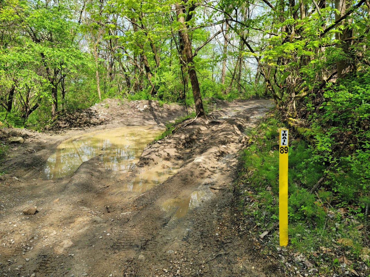
89 - Little Braden Flat
Total Miles
0.5
Tech Rating
Easy
Best Time
Spring, Summer, Fall, Winter
Learn more about 9 - Little Dipper
9 - Little Dipper
Total Miles
0.2
Tech Rating
Easy
Best Time
Spring, Summer, Fall, Winter
Learn more about 93 - Oak Elbow
93 - Oak Elbow
Total Miles
0.5
Tech Rating
Easy
Best Time
Spring, Summer, Fall, Winter


Learn more about A5 Randy's Diner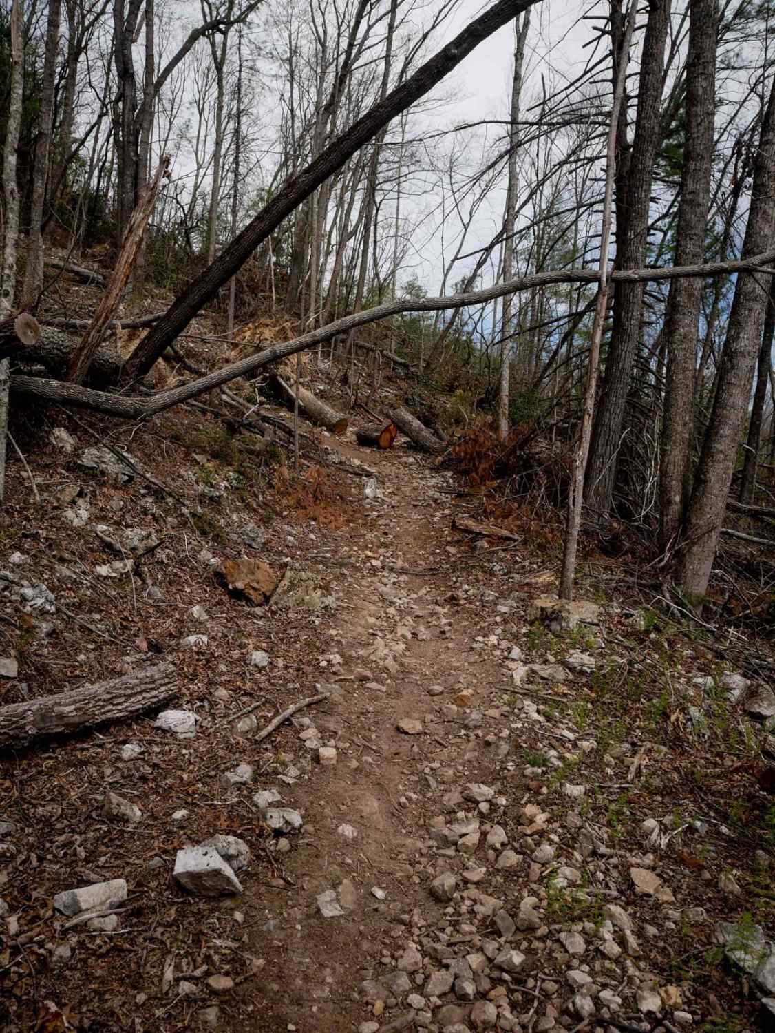
A5 Randy's Diner
Total Miles
1.3
Tech Rating
Moderate
Best Time
Spring, Fall, Summer, Winter
ATV trails in Tennessee
Learn more about 1 - Launchpad
1 - Launchpad
Total Miles
1.2
Tech Rating
Easy
Best Time
Spring, Summer, Fall, Winter
Learn more about 11 - Ground Control
11 - Ground Control
Total Miles
0.3
Tech Rating
Easy
Best Time
Spring, Summer, Fall, Winter
UTV/side-by-side trails in Tennessee
Learn more about 1 - Launchpad
1 - Launchpad
Total Miles
1.2
Tech Rating
Easy
Best Time
Spring, Summer, Fall, Winter
Learn more about 11 - Ground Control
11 - Ground Control
Total Miles
0.3
Tech Rating
Easy
Best Time
Spring, Summer, Fall, Winter
The onX Offroad Difference
onX Offroad combines trail photos, descriptions, difficulty ratings, width restrictions, seasonality, and more in a user-friendly interface. Available on all devices, with offline access and full compatibility with CarPlay and Android Auto. Discover what you’re missing today!