Off-Road Trails in Tennessee
Discover off-road trails in Tennessee
Learn more about G9 - Peachtree Gap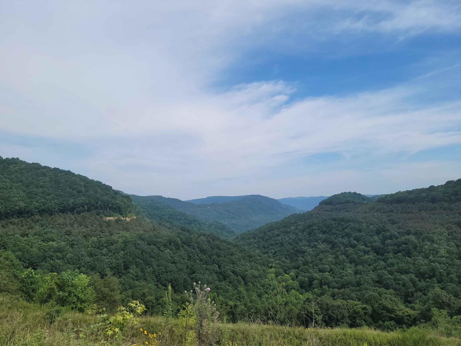
G9 - Peachtree Gap
Total Miles
3.2
Tech Rating
Easy
Best Time
Spring, Summer, Fall, Winter
Learn more about Gatlin Point North FSR 228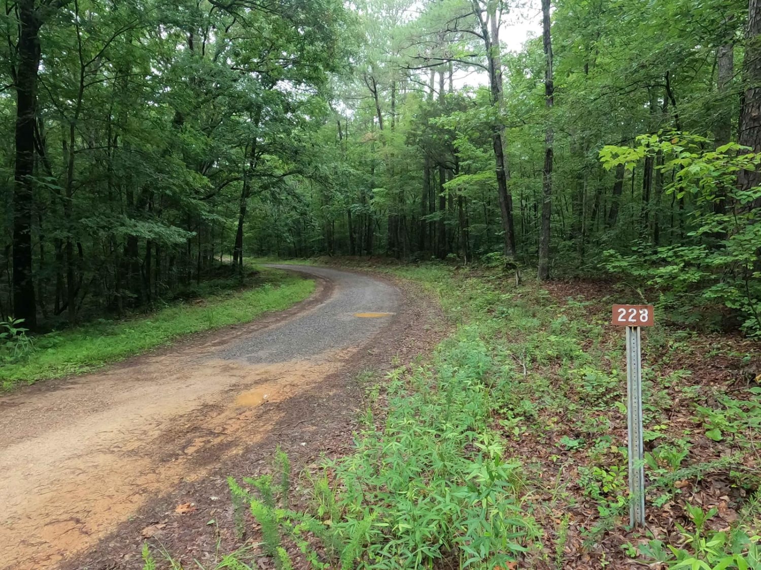
Gatlin Point North FSR 228
Total Miles
1.4
Tech Rating
Easy
Best Time
Spring, Summer, Fall, Winter
Learn more about Gatlin Point South FSR 227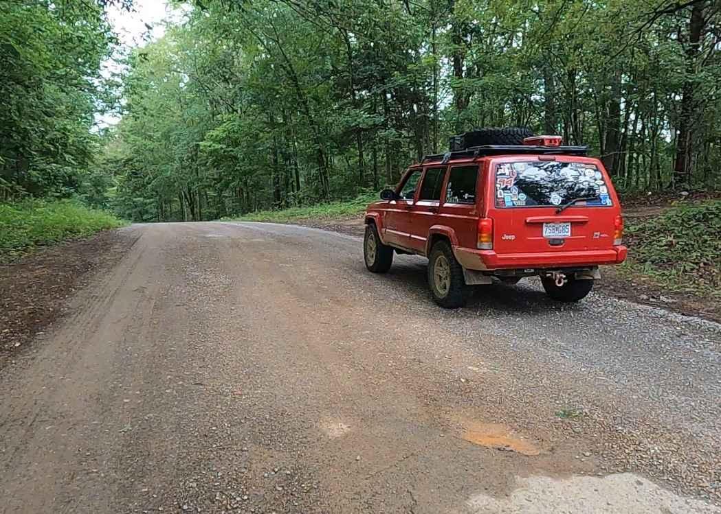
Gatlin Point South FSR 227
Total Miles
2.1
Tech Rating
Easy
Best Time
Spring, Summer, Fall, Winter

Learn more about George Watson Road
George Watson Road
Total Miles
1.6
Tech Rating
Easy
Best Time
Fall, Summer, Spring
Learn more about George Winters Trail (GWT)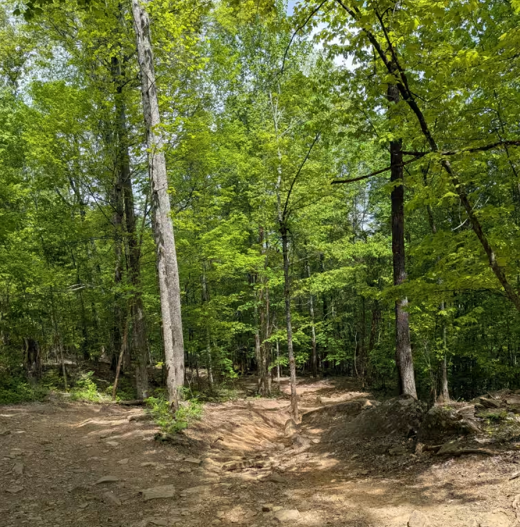
George Winters Trail (GWT)
Total Miles
0.2
Tech Rating
Moderate
Best Time
Spring, Summer, Fall, Winter
Learn more about Ginger Bay Road FS 205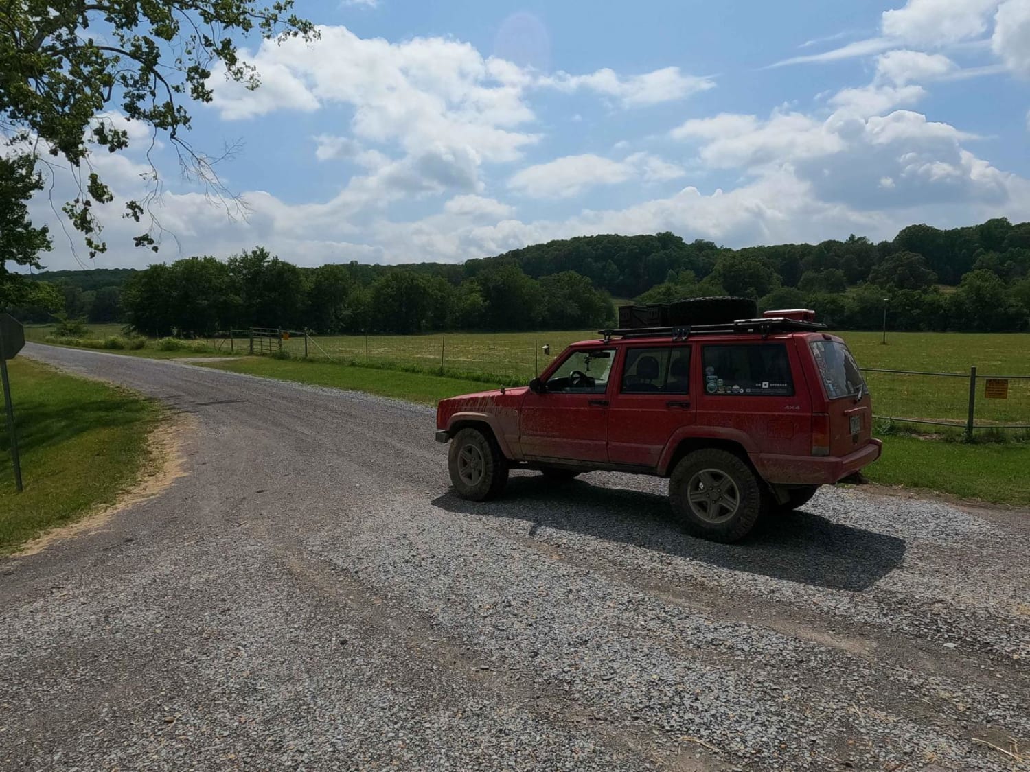
Ginger Bay Road FS 205
Total Miles
2.7
Tech Rating
Easy
Best Time
Spring, Summer, Fall, Winter
Learn more about GMP Main Road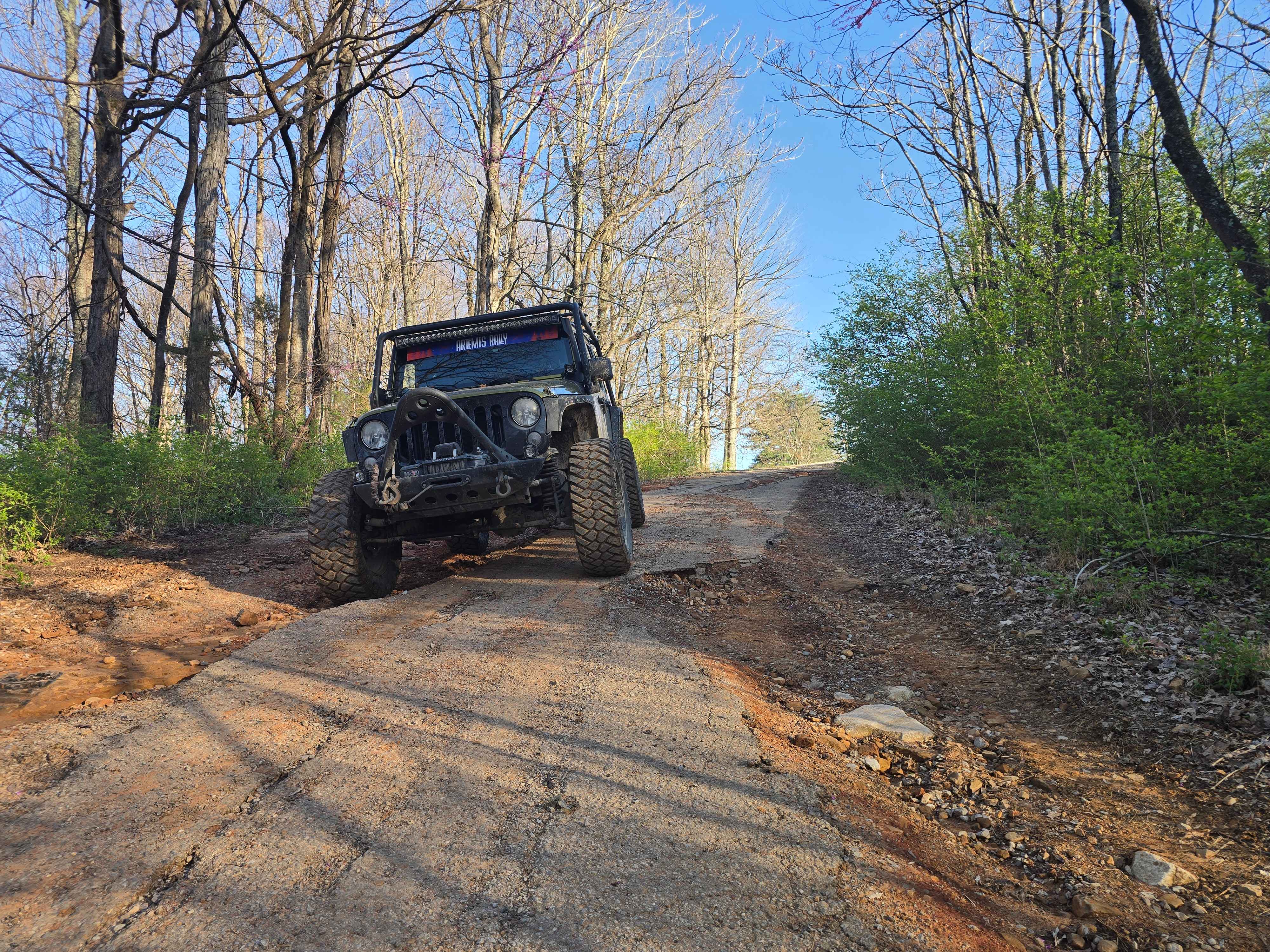
GMP Main Road
Total Miles
0.7
Tech Rating
Easy
Best Time
Spring, Summer, Fall, Winter
Learn more about GMP Pavilion Road 1
GMP Pavilion Road 1
Total Miles
0.6
Tech Rating
Easy
Best Time
Spring, Summer, Fall, Winter
Learn more about GMP Pavillion Road 2
GMP Pavillion Road 2
Total Miles
0.6
Tech Rating
Easy
Best Time
Spring, Summer, Fall, Winter
Learn more about Goose Horn Road - Macon County Tour
Goose Horn Road - Macon County Tour
Total Miles
3.5
Tech Rating
Easy
Best Time
Spring, Fall
Learn more about Grave Gap Trail
Grave Gap Trail
Total Miles
2.7
Tech Rating
Easy
Best Time
Spring, Summer, Fall
Learn more about Gravley Hill Road - Macon County Tour
Gravley Hill Road - Macon County Tour
Total Miles
0.8
Tech Rating
Easy
Best Time
Spring, Summer, Fall

Learn more about Green Mountain Road
Green Mountain Road
Total Miles
3.7
Tech Rating
Easy
Best Time
Spring, Summer, Fall, Winter
Learn more about GS1 Trail
GS1 Trail
Total Miles
3.8
Tech Rating
Moderate
Best Time
Spring, Summer, Fall, Winter

Learn more about Hailey Road
Hailey Road
Total Miles
6.0
Tech Rating
Moderate
Best Time
Spring, Summer, Fall, Winter
ATV trails in Tennessee
Learn more about 1 - Launchpad
1 - Launchpad
Total Miles
1.2
Tech Rating
Easy
Best Time
Spring, Summer, Fall, Winter
Learn more about 11 - Ground Control
11 - Ground Control
Total Miles
0.3
Tech Rating
Easy
Best Time
Spring, Summer, Fall, Winter
UTV/side-by-side trails in Tennessee
Learn more about 1 - Launchpad
1 - Launchpad
Total Miles
1.2
Tech Rating
Easy
Best Time
Spring, Summer, Fall, Winter
Learn more about 11 - Ground Control
11 - Ground Control
Total Miles
0.3
Tech Rating
Easy
Best Time
Spring, Summer, Fall, Winter
The onX Offroad Difference
onX Offroad combines trail photos, descriptions, difficulty ratings, width restrictions, seasonality, and more in a user-friendly interface. Available on all devices, with offline access and full compatibility with CarPlay and Android Auto. Discover what you’re missing today!