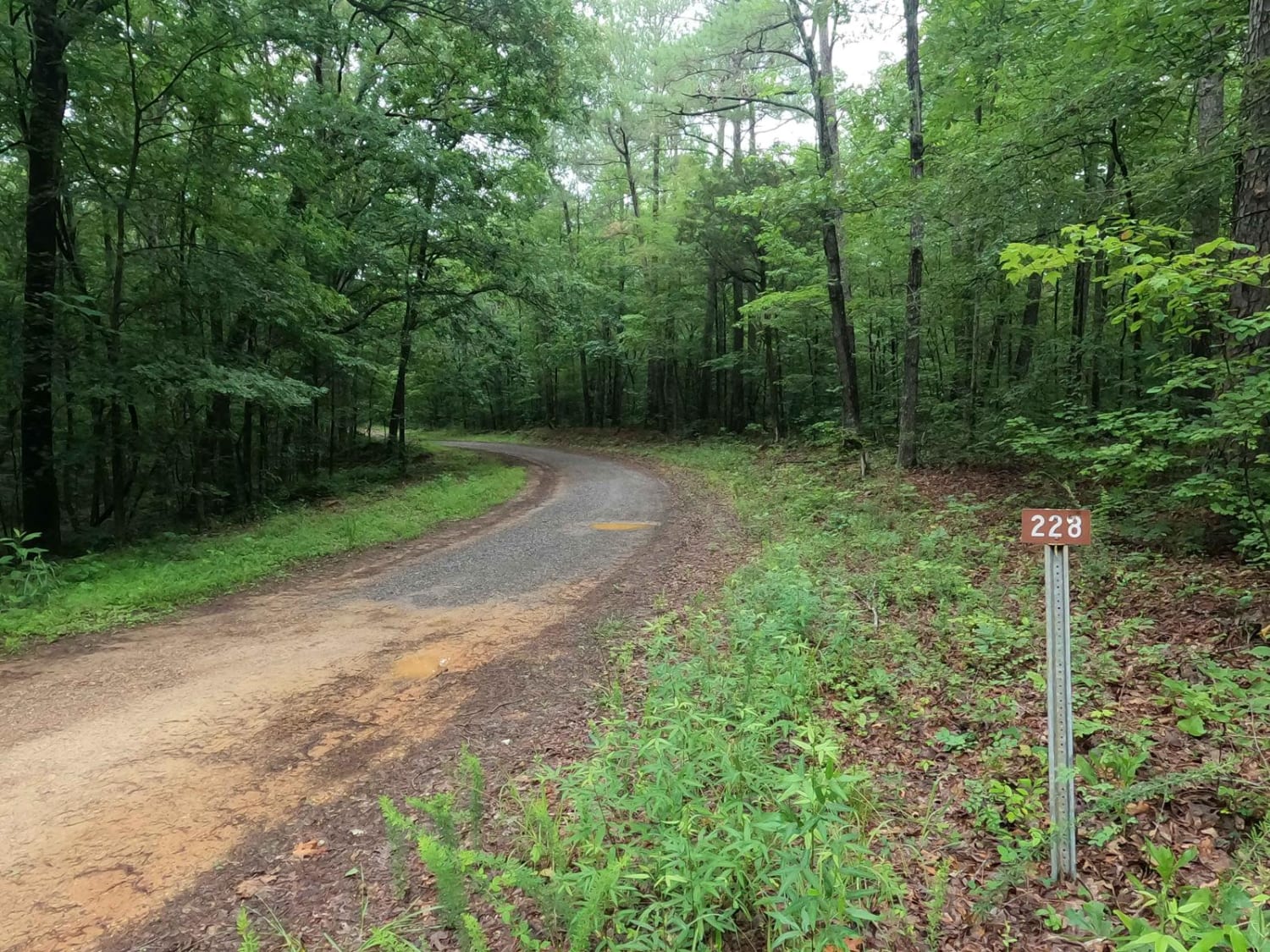
Gatlin Point North FSR 228
Total Miles
1.4
Technical Rating
Best Time
Spring, Summer, Fall, Winter
Trail Type
Full-Width Road
Accessible By
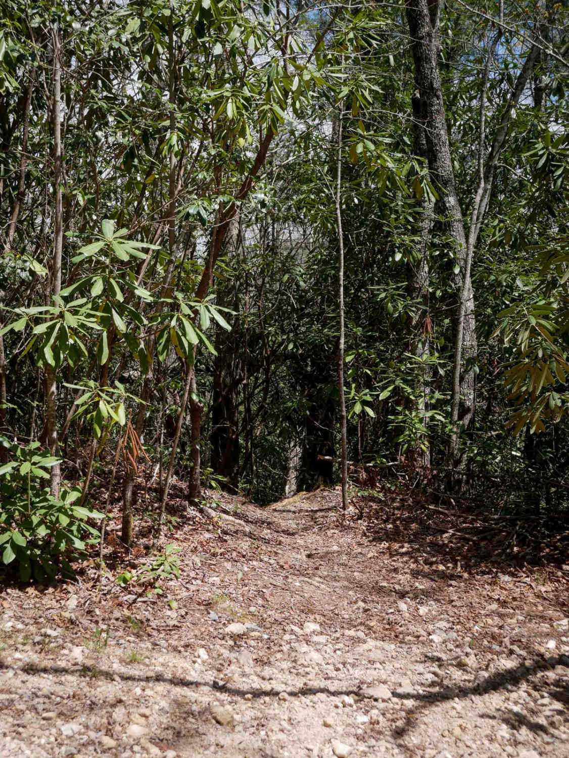
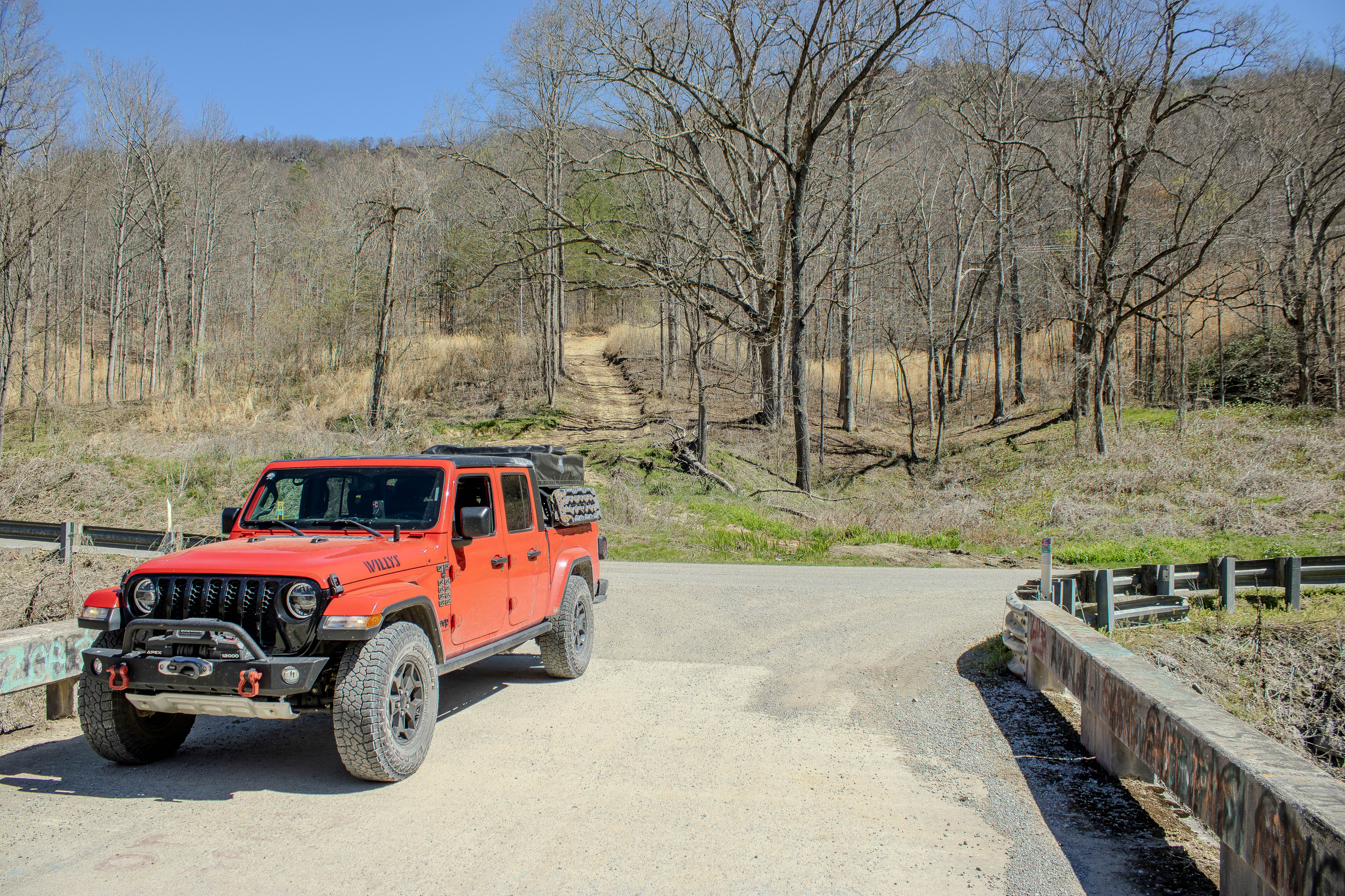
Trail Overview
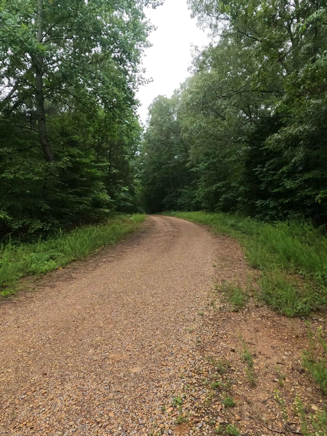
Gatlin Point North FSR 228 is a gravel forestry road through the southeast corner of the southern Tennessee section, Lake Barkley side, of the Land Between the Lake National Recreation Area. This road features small rolling hills cutting through the treelines leading down mild rutted grades into the wetland bottoms, featuring mild water collection spots on the road surface, occasional mild soft surface mud, and gravel fading to dirt spots. FSR 228 is the shortest, but most natural, road connecting Gatlin Point South 227 and Bear Creek Road 229. The main purpose of the road is access to the Williams Cemetery and the Dennis Cemetery spur roads within its eastern low-laying swampy bottoms section.
Photos of Gatlin Point North FSR 228
Difficulty
The FSR 228 has just enough thrill through its rutted hills, and soft bottoms to give this an edge over a 1/10, though it still includes the normal gravel road complications of washboards, mounding, and potholes.
History
At 36.54383, -87.89901 is the entry to the Dennis Cemetery, and at 36.54482, -87.90310 is the entry to the Williams Cemetery. Both are on the eastern end of the road. To the south near Dover, Tennessee, is the Civil War era site, and US National Park, Fort Donelson, a Confederate 15-acre earth-fortified fort along the Cumberland River. This is also the site of a historic battleground fought over February 13-16th, 1862, both on land and with ironclads via the river. The capture of this Fort alongside claiming Fort Henry and Fort Heiman on the Tennessee River only days before gave the Union its first major regional victory. Long-term, this was evident in the results of the Union's control over the Tennessee River, Cumberland River, and the railroads in the area, which limited vital production from the Confederate supply production super hub in Nashville until it was also captured by the Union in 1864. It's well worth visiting if you love history and want a gift or souvenir pertaining to the region.
Status Reports
Gatlin Point North FSR 228 can be accessed by the following ride types:
- High-Clearance 4x4
- SUV
Gatlin Point North FSR 228 Map
Popular Trails
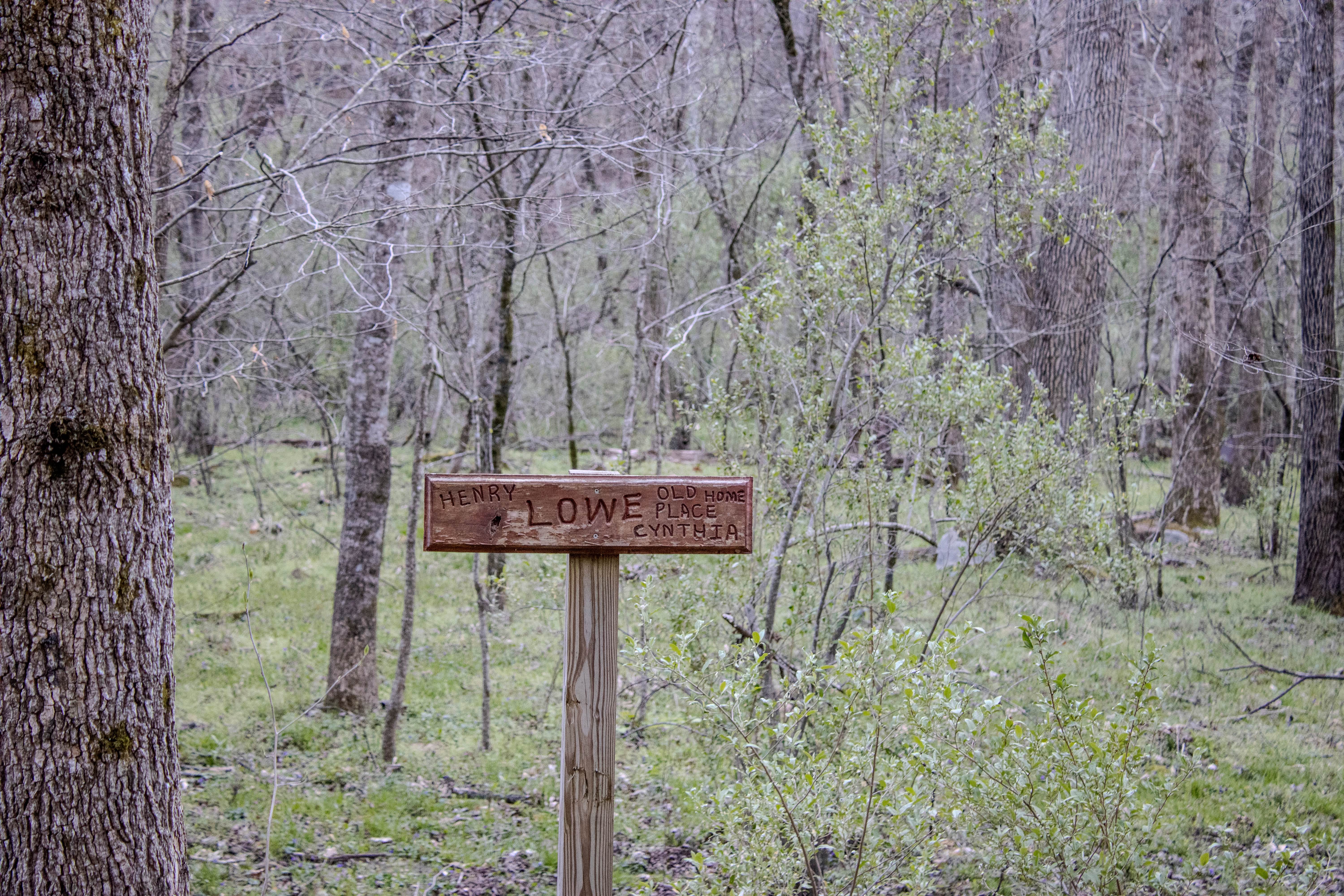
Lowe Cemetary Road
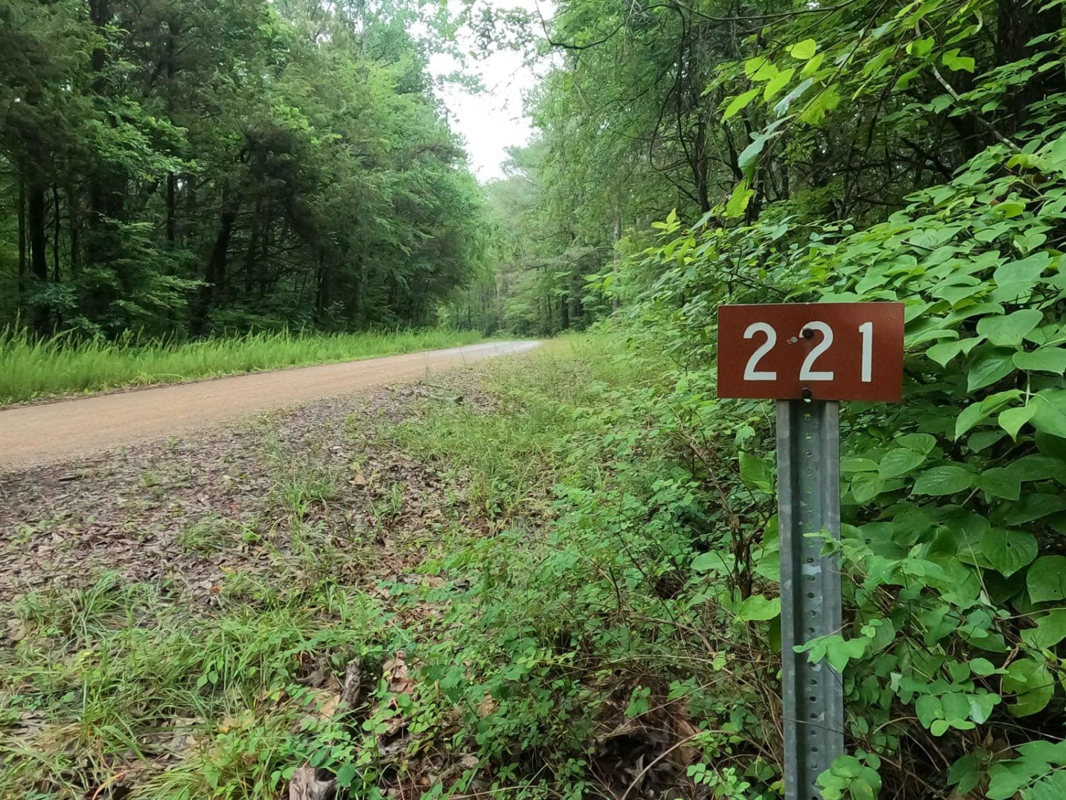
Tharpe Road FSR 221
Buzz Kill Hill
Turley Road
The onX Offroad Difference
onX Offroad combines trail photos, descriptions, difficulty ratings, width restrictions, seasonality, and more in a user-friendly interface. Available on all devices, with offline access and full compatibility with CarPlay and Android Auto. Discover what you’re missing today!