Lowe Cemetary Road
Total Miles
1.7
Technical Rating
Best Time
Spring, Summer, Fall, Winter
Trail Type
Full-Width Road
Accessible By
Trail Overview
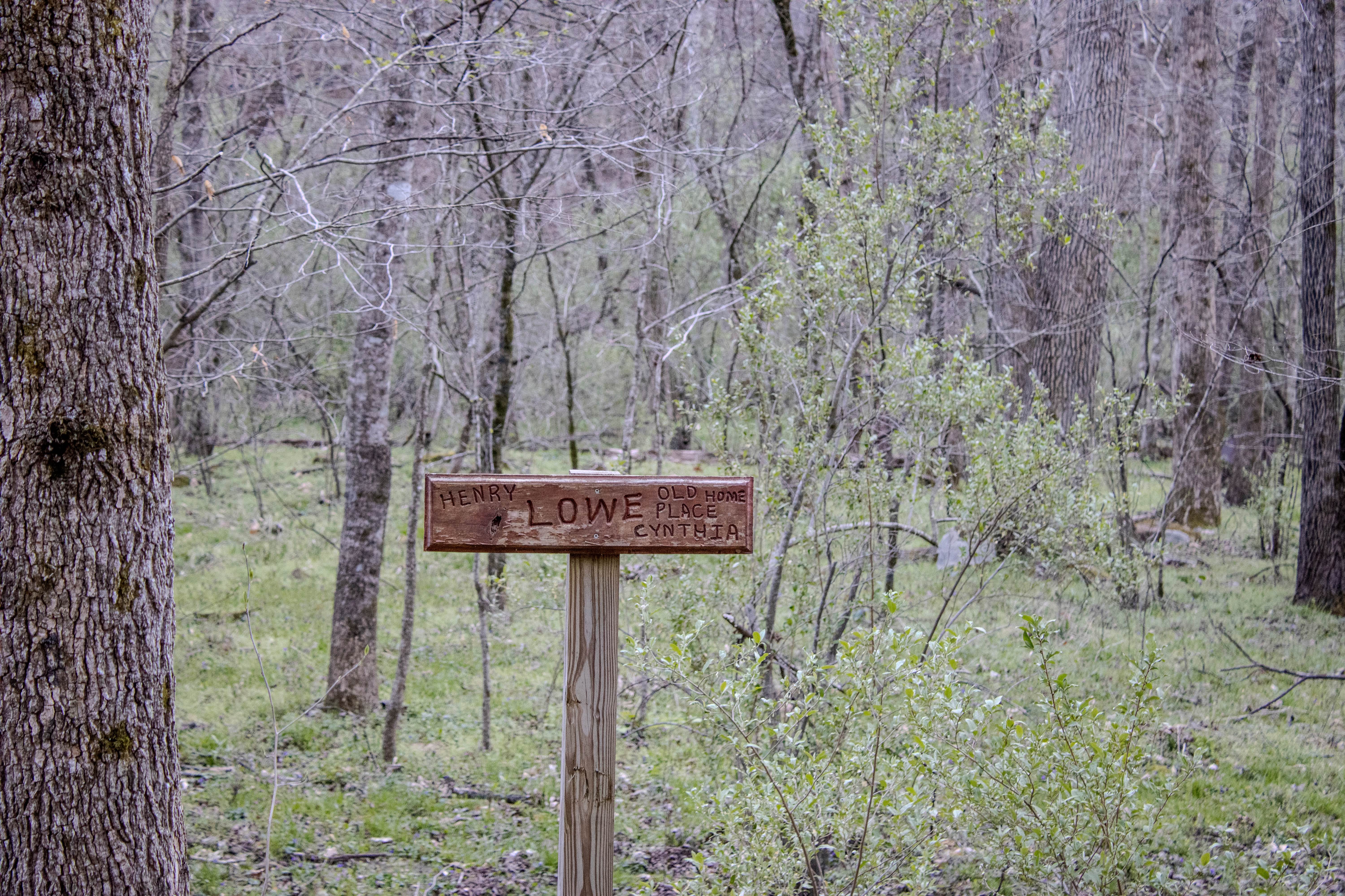
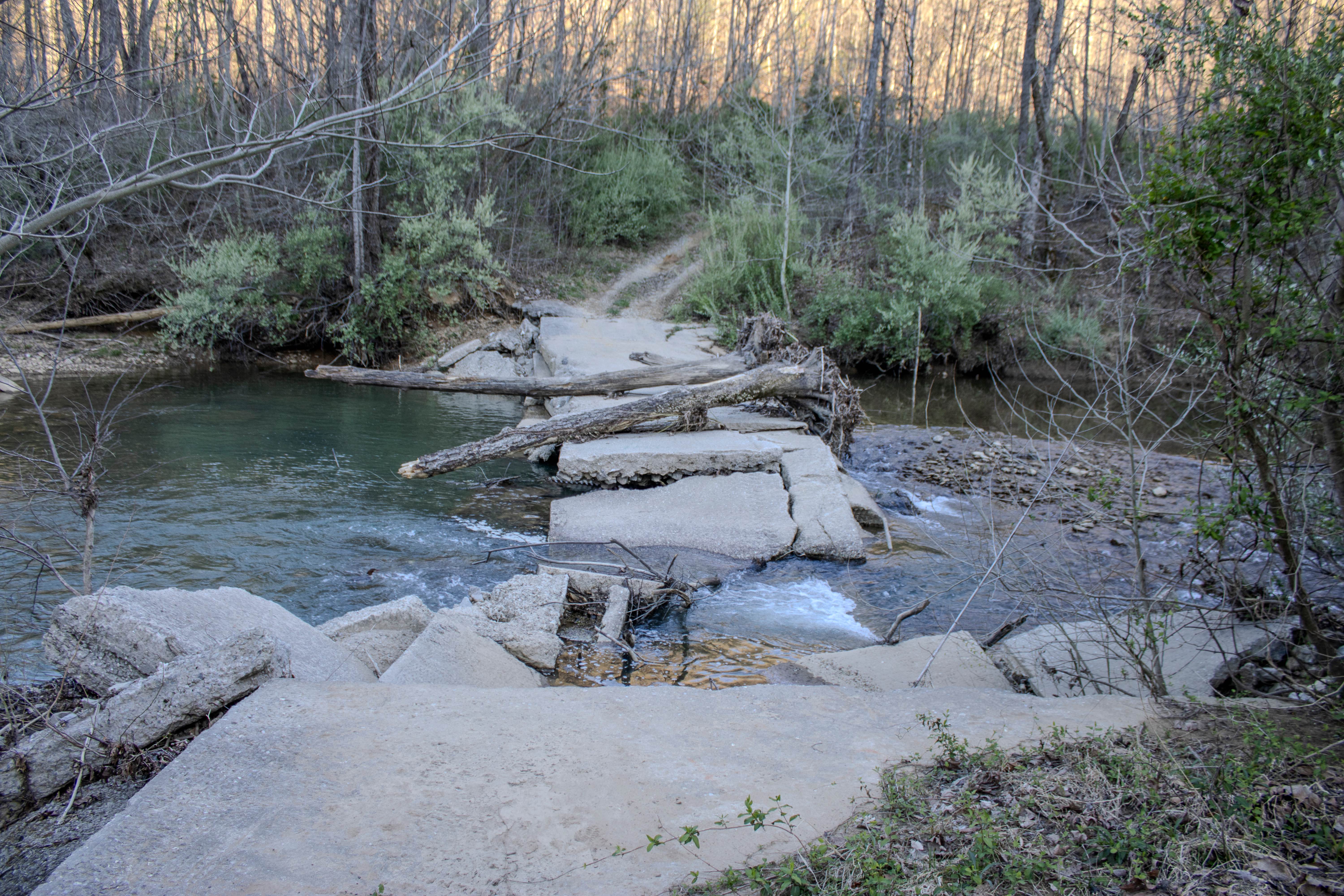
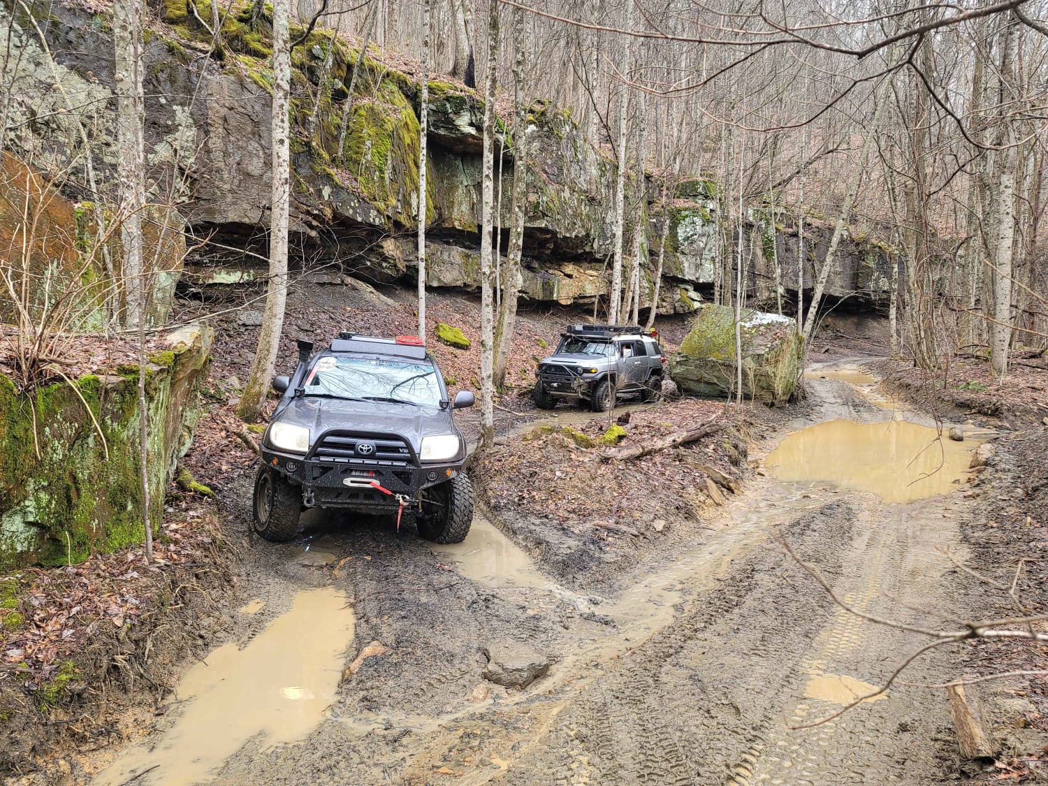
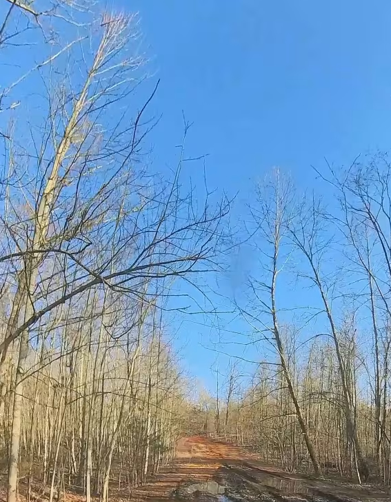
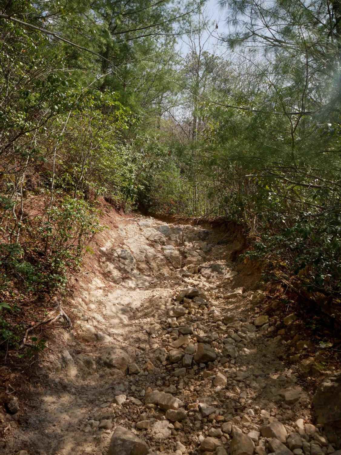
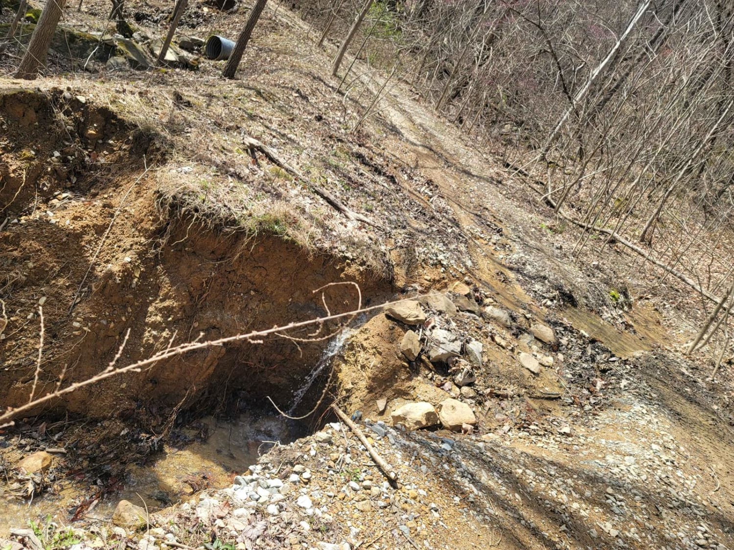
Lowe Cemetery Road is an in-and-out trail consisting mostly of dirt and gravel. The trail has several narrow sections where passing can be difficult, although there are occasional wider areas that allow vehicles to get around each other. Multiple creek crossings along the trail can become deep depending on recent rainfall. Water levels can vary, and some crossings may require careful line choice during wetter conditions. Along the trail, you will pass an old cemetery and a historic homesite where you can stop and explore. There are also old bridge crossings that have collapsed over time, but bypasses have formed around them to allow continued travel along the trail. Vegetation can be overgrown in certain sections, with limbs and brush encroaching into the trail and causing contact with vehicles, especially larger rigs.
Photos of Lowe Cemetary Road
Difficulty
This trail is rated a 5/10 due to its narrow sections, multiple creek crossings, and areas of overgrowth. The creek crossings can increase in difficulty depending on rainfall, while tight areas and vegetation can make navigation more challenging for larger vehicles. Outside of these factors, the terrain remains relatively manageable.
History
The Lowe Cemetery, located along this trail, dates back to early settlers in the area, with burials believed to go back to the early 1800s. The cemetery is associated with the Low/Lowe family, who were among the early residents of the Smokey Creek area after migrating to Tennessee in the late 1700s and early 1800s. Early families in this region settled along creek bottoms for farming and used roads like this for access to homesteads and logging areas. The old homesite along the trail is likely tied to these early Appalachian settlers who lived and worked in the area.
Status Reports
Lowe Cemetary Road can be accessed by the following ride types:
- High-Clearance 4x4
- SUV
- SxS (60")
- ATV (50")
- Dirt Bike
Lowe Cemetary Road Map
Popular Trails
83 - American Knob Bypass
GMP Pavillion Road 2
The onX Offroad Difference
onX Offroad combines trail photos, descriptions, difficulty ratings, width restrictions, seasonality, and more in a user-friendly interface. Available on all devices, with offline access and full compatibility with CarPlay and Android Auto. Discover what you’re missing today!