Catoosa Headrick Road
Total Miles
3.3
Technical Rating
Best Time
Spring, Summer, Fall, Winter
Trail Type
High-Clearance 4x4 Trail
Accessible By
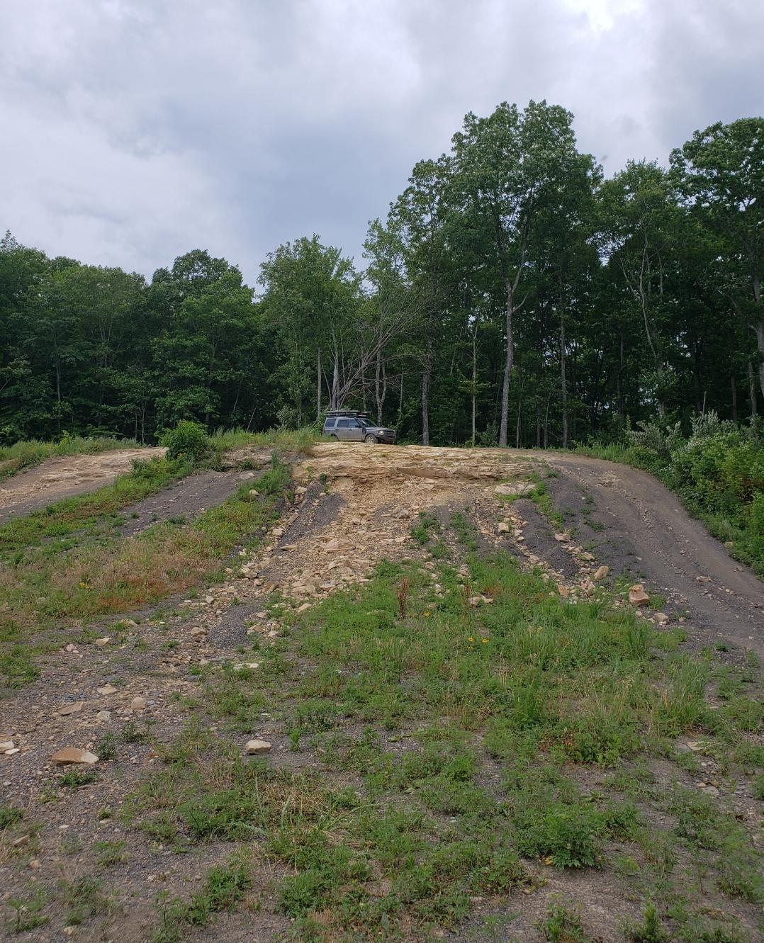
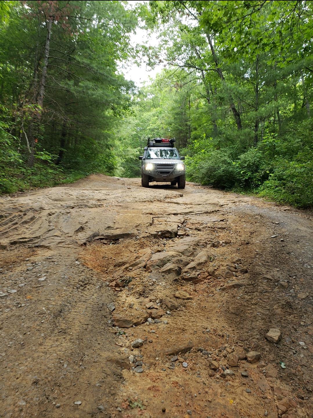
Trail Overview
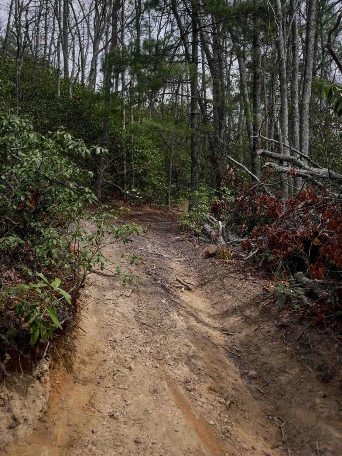
This trail takes you across the Cumberland Plateau. There are several tight sections through brush, as well as sections of open grasslands. The trail also has red clay mud sections and rocky ledges, with the worst areas having a bypass. There are a lot of side trails to explore. The entrance has a wooden bridge with a 3 ton limit and an unimproved creek ford bypass. The trail exits through private property to a paved public road. Cell service in the area is limited. Camping and travel from sun down to sun up is prohibited.
Photos of Catoosa Headrick Road
Difficulty
The road has some mud and rock ledges.
Status Reports
Catoosa Headrick Road can be accessed by the following ride types:
- High-Clearance 4x4
- SxS (60")
- ATV (50")
- Dirt Bike
Catoosa Headrick Road Map
Popular Trails
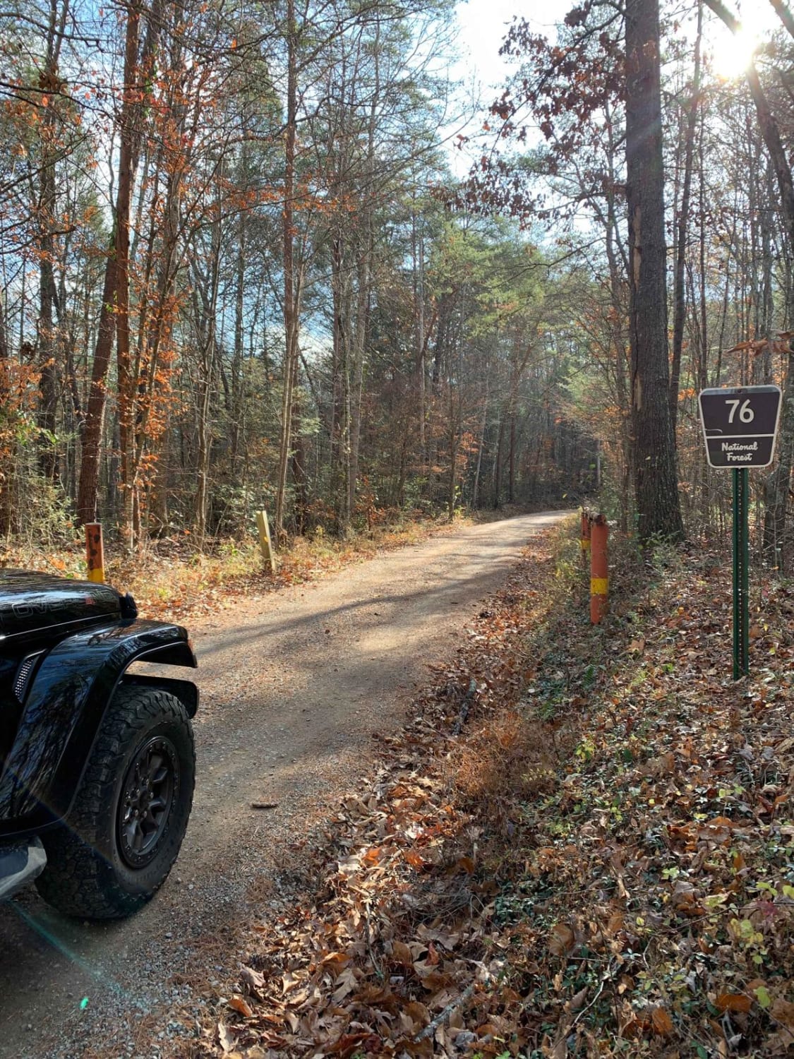
Old Furnace Road - FSR 76

Shockley Hill Road - Macon County Tour
Coker Creek Falls
The onX Offroad Difference
onX Offroad combines trail photos, descriptions, difficulty ratings, width restrictions, seasonality, and more in a user-friendly interface. Available on all devices, with offline access and full compatibility with CarPlay and Android Auto. Discover what you’re missing today!