CC Road
Total Miles
2.4
Technical Rating
Best Time
Spring, Summer, Winter, Fall
Trail Type
Full-Width Road
Accessible By
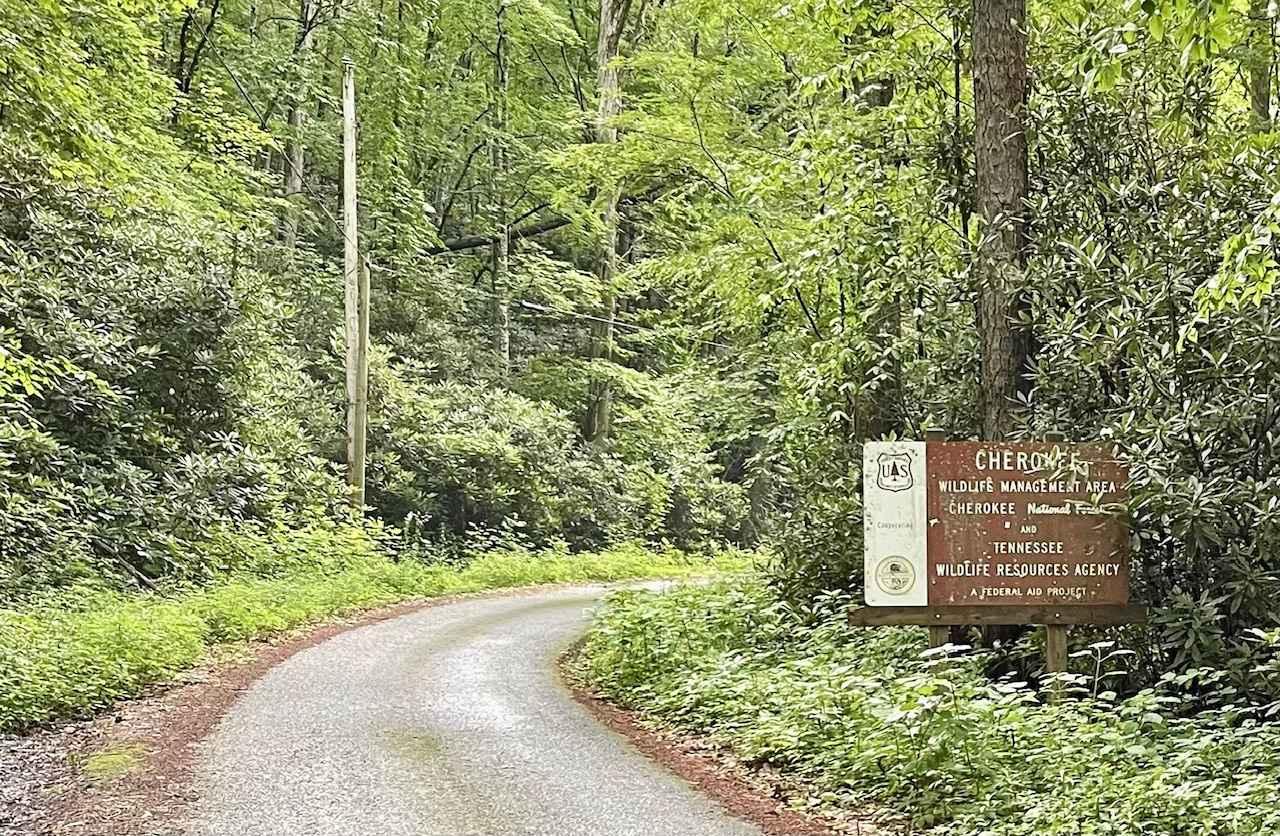
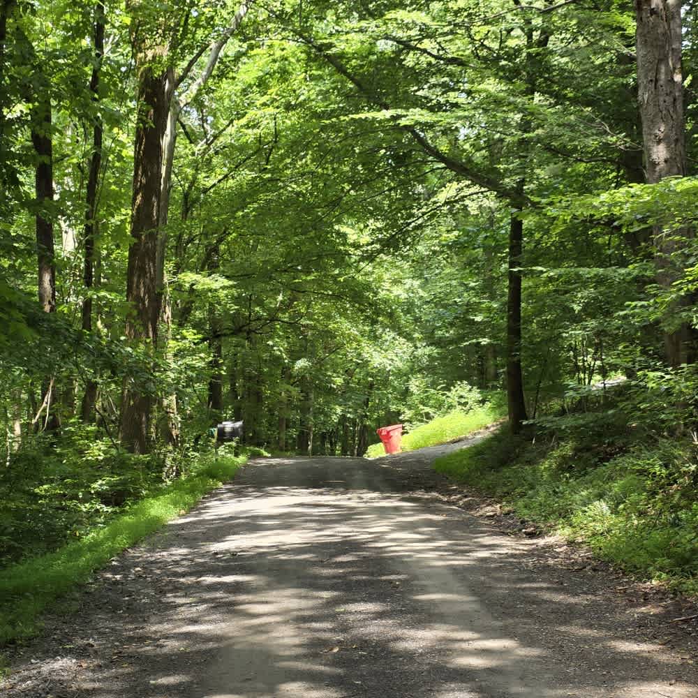
Trail Overview
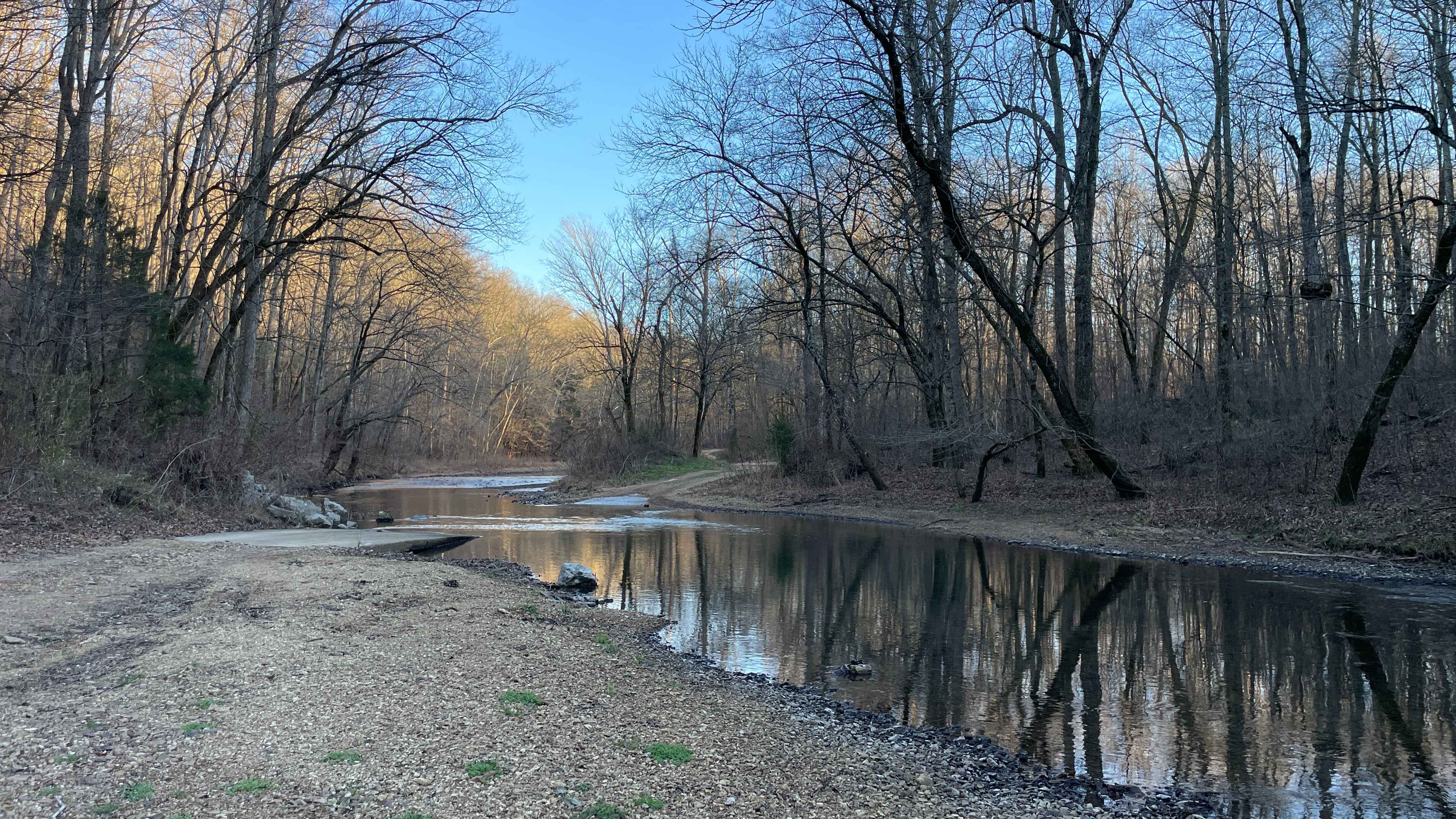
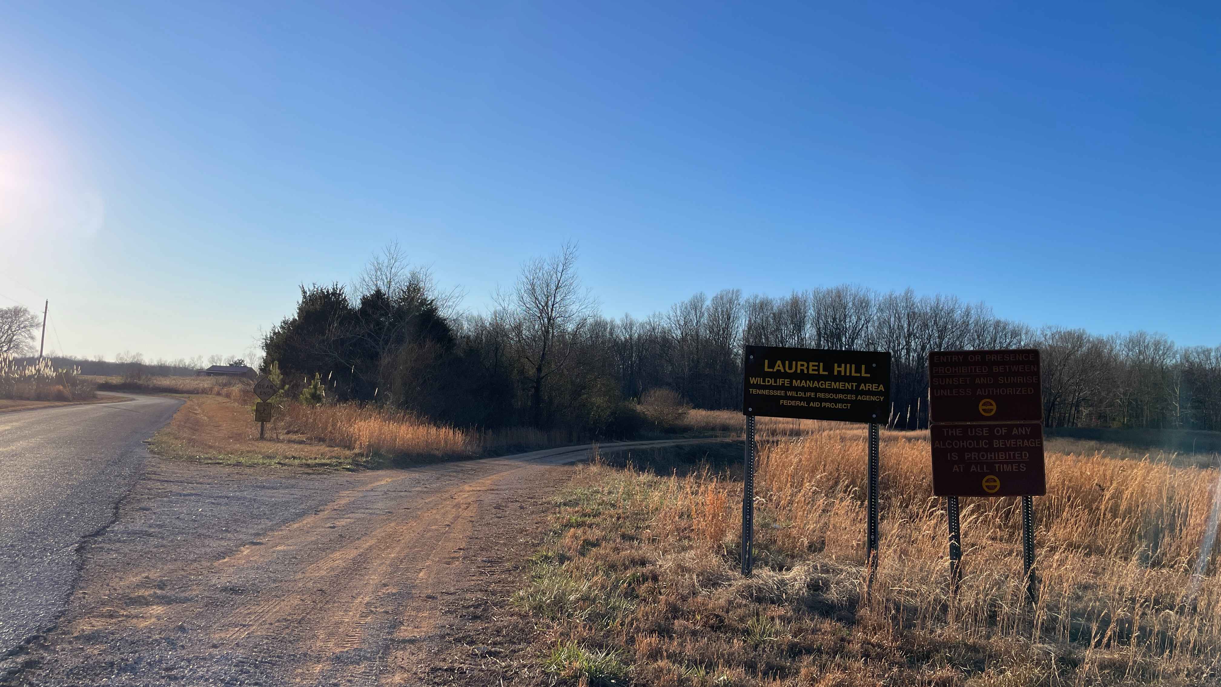
CC Road is a short but important connector route within the Laurel Hill Wildlife Management Area, serving as one of the primary eastern access points into the WMA. The road links Laurel Hill Road on the east with Artemis Lane to the west, transitioning from pavement at the entrance to gravel once inside the management area. Despite its shorter length, CC Road offers one of the best access points to the Little Buffalo River and features one of the longest and deepest water crossings within the WMA. This low-water crossing is normally passable in dry conditions but can deepen significantly after heavy rainfall or during seasonal high water, making it a notable point of interest and a good turnaround location when conditions change. A well-used pull-off near the river allows for easy parking and exploration on foot, making this a popular warm-weather stop for picnics, fishing, wading, or simply enjoying a shaded break along the water. CC Road works especially well as part of a larger loop when combined with Laurel Hill Road and Artemis Lane, offering a quiet, scenic drive with easy river access and a strong sense of place within the WMA. Motorized access is open to street-legal vehicles. Users must possess either a valid Tennessee hunting or fishing license or a High Impact Habitat Conservation Permit. Off-Highway Vehicles (including ATVs, motorcycles, and Class 3 e-bikes), hooved animals, and bicycles require the High Impact Habitat Conservation Permit when used on designated WMA routes.
Photos of CC Road
Difficulty
Rated Easy 3. CC Road is a short gravel connector with a stable surface and no technical obstacles. The river crossing may temporarily increase difficulty following heavy rain or during periods of high water. Drivers should assess conditions before crossing.
Status Reports
CC Road can be accessed by the following ride types:
- High-Clearance 4x4
- SUV
- SxS (60")
- ATV (50")
- Dirt Bike
CC Road Map
Popular Trails
60 - Bridge Branch
Trail 19 - Wolf Ridge
Little Stoney Creek/Laurel Fork
Spring Hollow Road - Macon County Tour
The onX Offroad Difference
onX Offroad combines trail photos, descriptions, difficulty ratings, width restrictions, seasonality, and more in a user-friendly interface. Available on all devices, with offline access and full compatibility with CarPlay and Android Auto. Discover what you’re missing today!