End of the World
Total Miles
2.1
Technical Rating
Best Time
Spring, Summer
Trail Type
High-Clearance 4x4 Trail
Accessible By
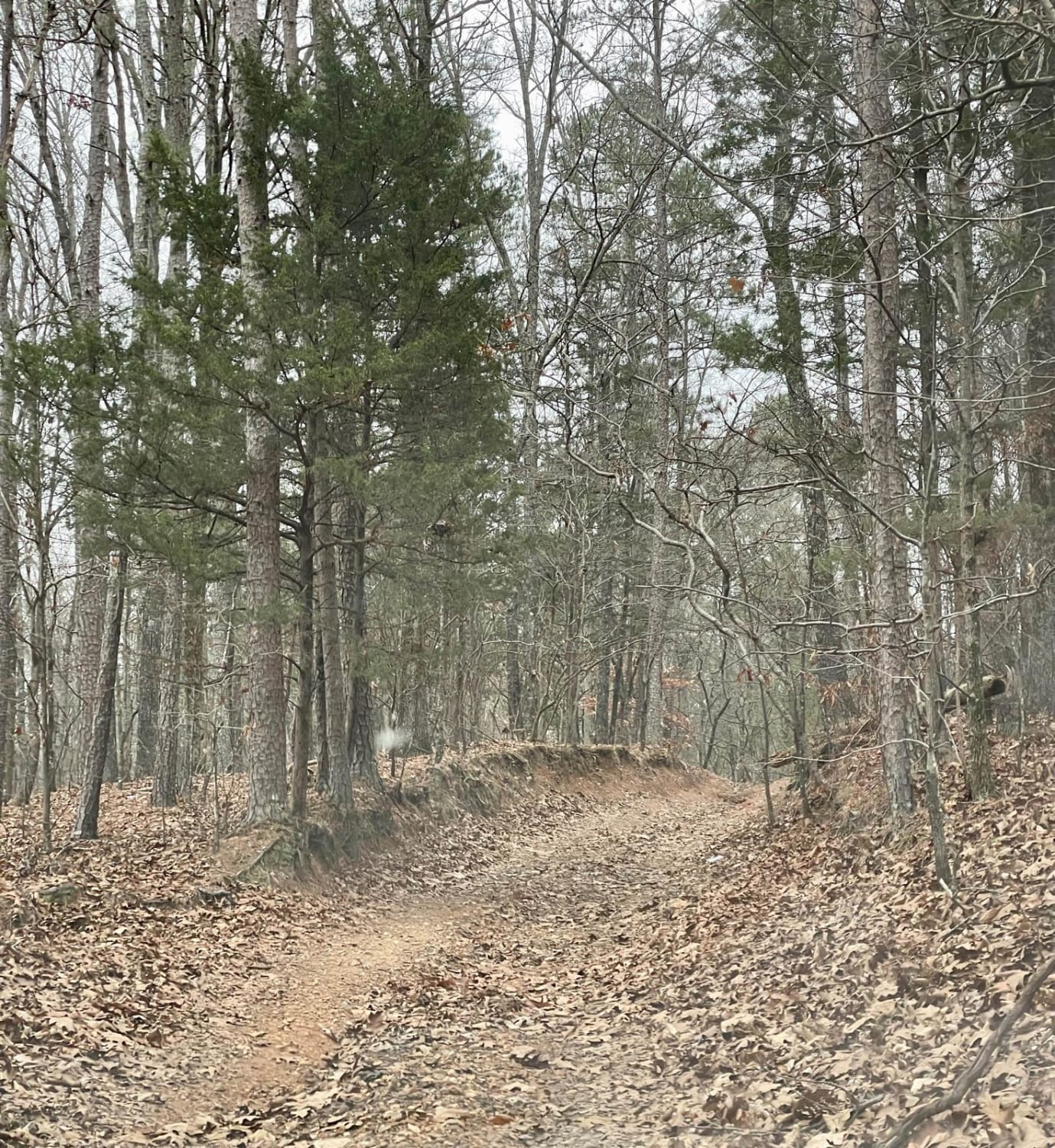
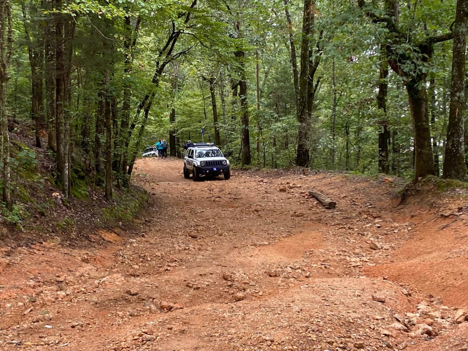
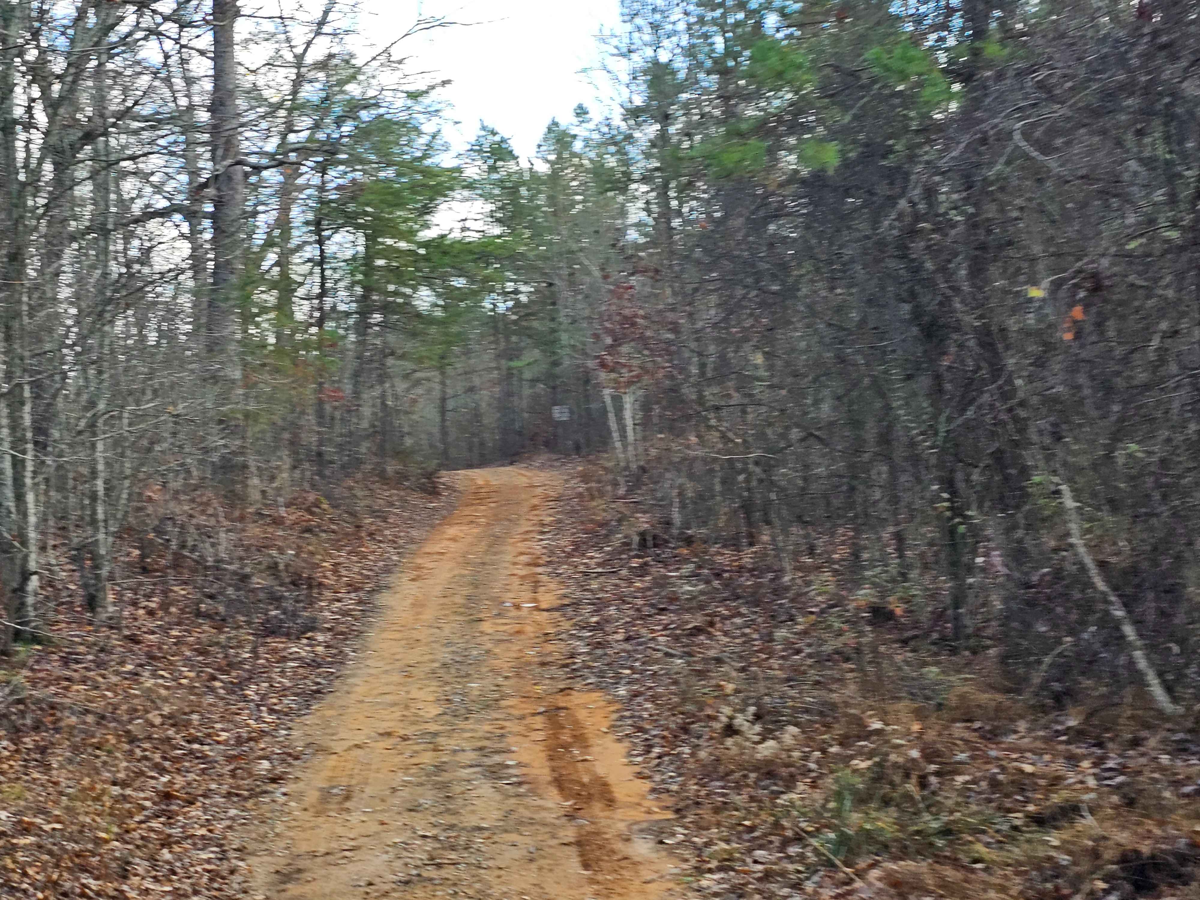
Trail Overview
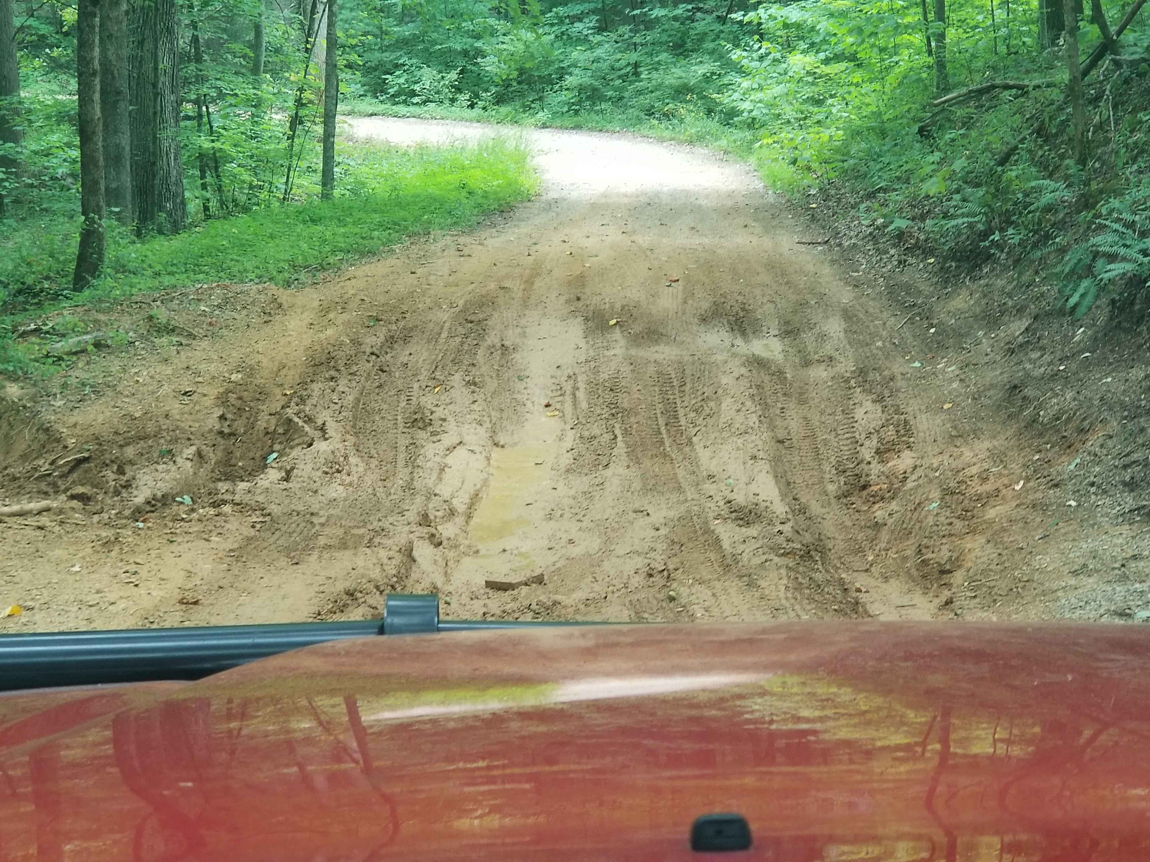
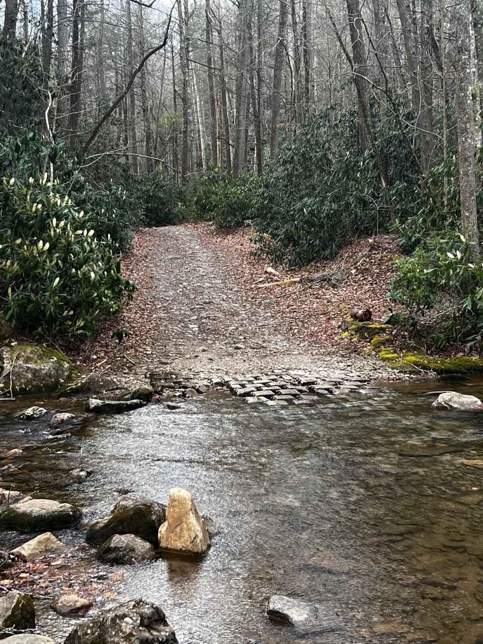
This trail has a multitude of different obstacles along the path. The trail can be ran from either direction. If the water level is low you can follow the edge of the river and start the trail from the rivers edge and travel the trail in reverse. If the water level is up the trail will have to start from the top of the hill from the boat ramp and then ran in reverse to exit. Along the route there are many deep mud holes that most can be bypassed. There are a few that can't but they are not deep. About halfway through there are several deep ditches that will have your vehicle off camber ( these are fun). towards the end or beginning depending on which way you have gone there will be a steep ledge about 24'"-32" to travers with little bypass.
Photos of End of the World
Difficulty
This trail depending on weather will be very slick with deep washes and inclines to have to traverse.
Status Reports
End of the World can be accessed by the following ride types:
- High-Clearance 4x4
- SxS (60")
- ATV (50")
End of the World Map
Popular Trails
Flatwoods Road to 87A
Horse Creek

Forest Service Road 236
The onX Offroad Difference
onX Offroad combines trail photos, descriptions, difficulty ratings, width restrictions, seasonality, and more in a user-friendly interface. Available on all devices, with offline access and full compatibility with CarPlay and Android Auto. Discover what you’re missing today!