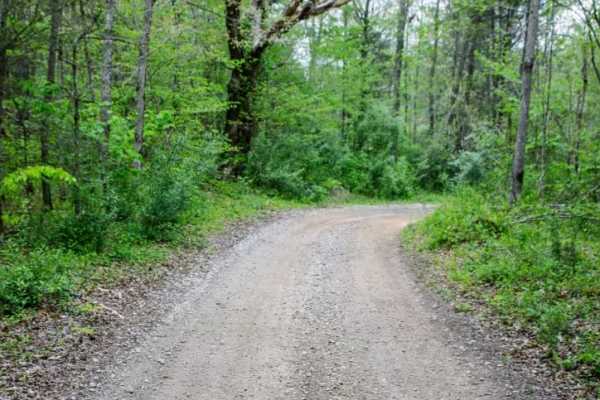
Trail Overview
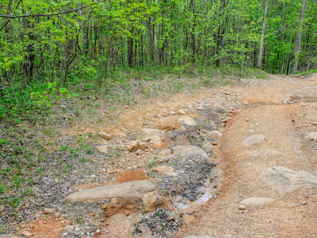
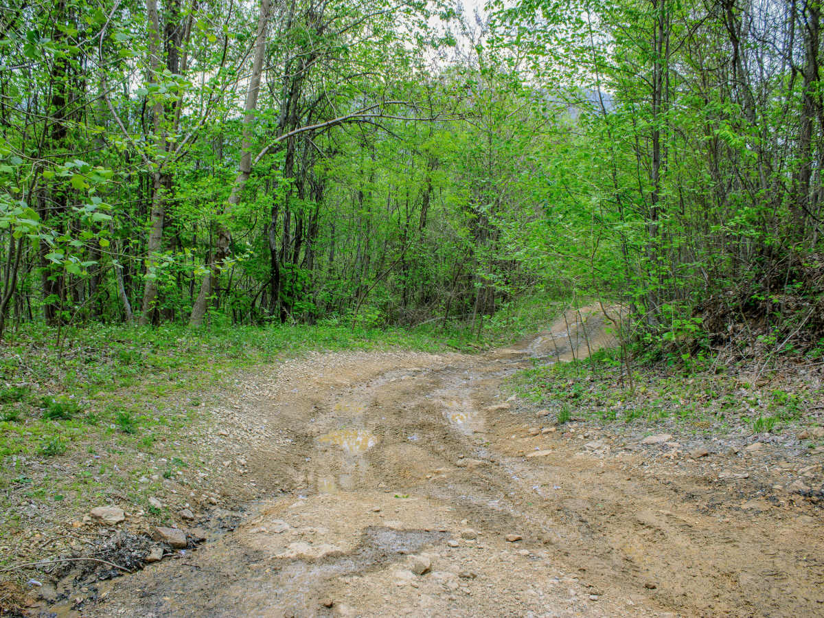
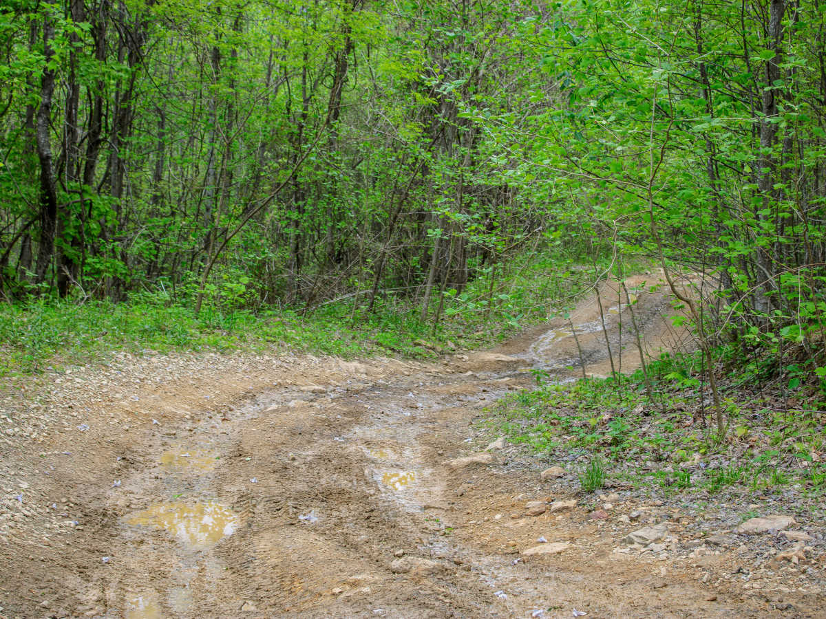
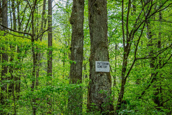
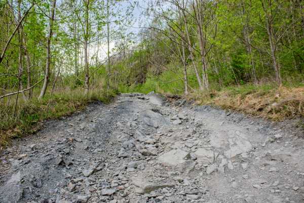
Emily Cemetery Road is a two-way dirt trail that connects S8 Trail and Patterson Road in the North Cumberland WMA trail system. The trail starts near the old Emily Cemetery, where visitors can see historic headstones dating back to the mid to late 1800s. Some of the graves also show military service from wars throughout the years, adding an important historical stop before the trail continues deeper into the woods. This is a place to slow down, be respectful, and leave everything exactly as it is. Once past the cemetery, the trail becomes more rugged. Emily Cemetery Road has several areas with large, deep ruts that are off-camber and can become much more difficult after rainfall. These sections require careful tire placement, especially for narrower vehicles or vehicles with a higher center of gravity. In wet conditions, the ruts can become slick and may increase the chance of sliding or leaning into the low side of the trail. There are also several rocky sections along the route. Some of the larger rocks require slow crawling, while others have optional lines that allow drivers to go around them. Drivers should still look ahead and choose their line carefully, because loose rock, wet dirt, and uneven ruts can make traction unpredictable. A few places along the trail have water running down from the mountain and crossing the road, which keeps some areas slick throughout the year.
Difficulty
The trail earns this rating because of the deep off-camber ruts, rocky sections, slick water runoff areas, and changing conditions after rain. Some rocks can be bypassed, which helps keep the trail from rating higher, but drivers still need 4WD, good tires, and careful tire placement. Rain can quickly raise the difficulty because the ruts and water crossings become slick and harder to control.