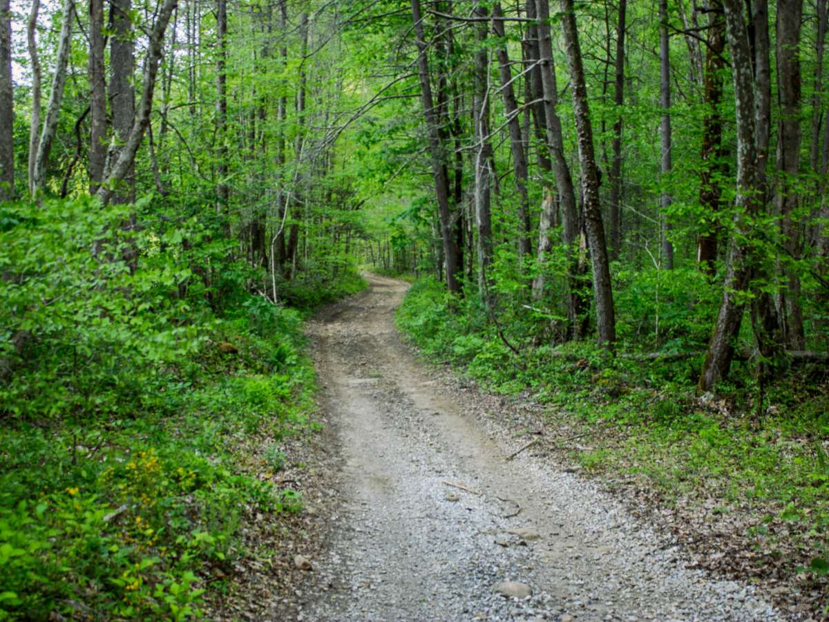
Trail Overview
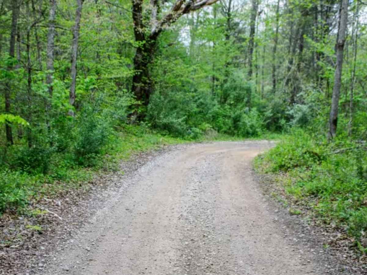
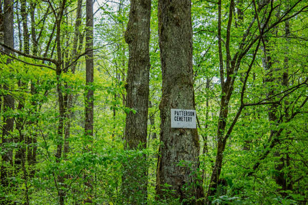
Patterson Road is a two-way gravel road that begins off CR 116 and heads into the WMA, eventually leading toward Patterson Cemetery Road and Emily Cemetery Road. The route is mostly gravel with a maintained backroad feel, making it a good connector trail for riders looking to access the surrounding cemetery roads and nearby trail system. While the road is not highly technical, drivers should still pay attention to seasonal water levels, narrow areas, and private property boundaries along the route.
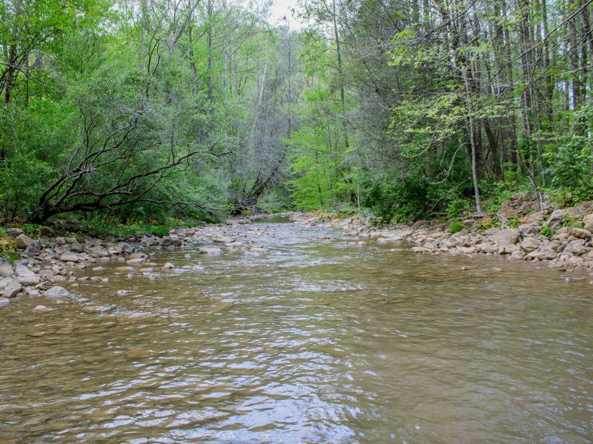
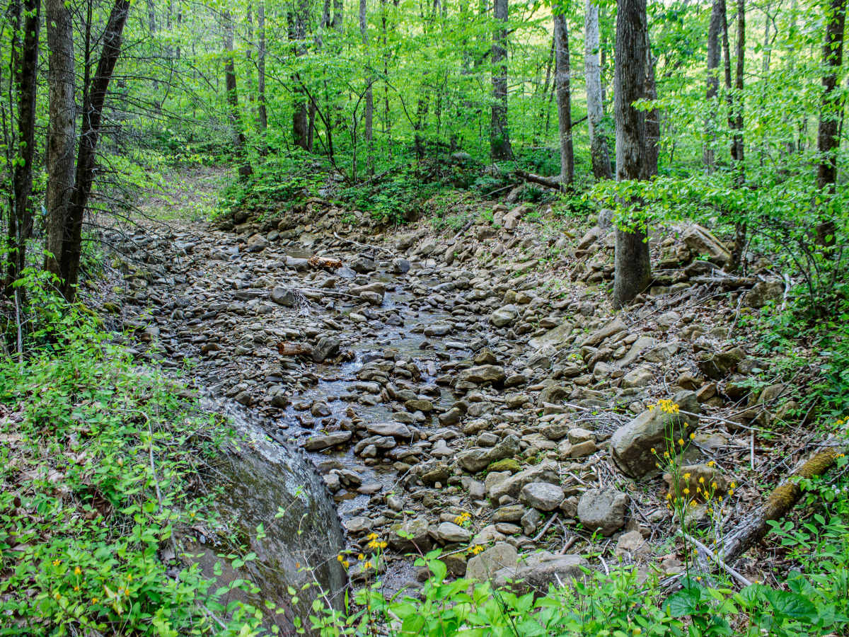
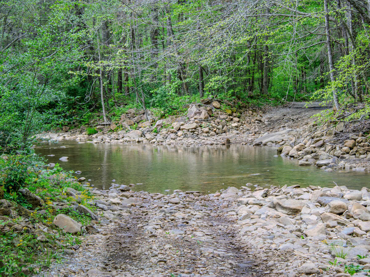
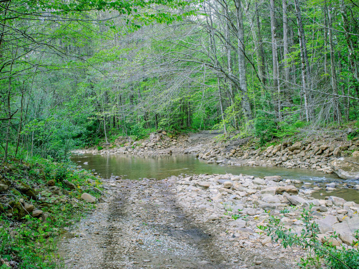
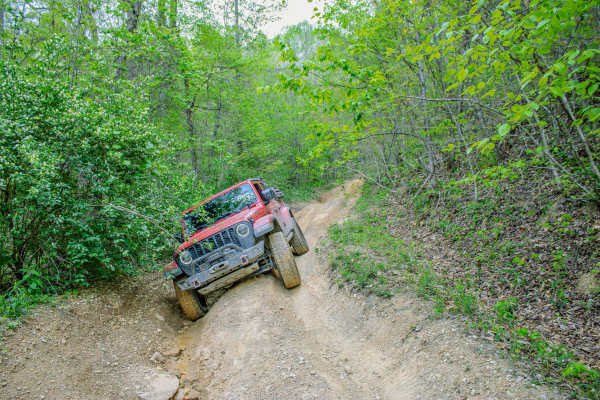
Along Patterson Road, you will cross three creeks that typically average around 12 to 18 inches of water. These crossings are usually manageable in a high-clearance 4WD vehicle, but water levels can rise after heavy rainfall or snow melt, depending on the season. The creek areas are also some of the most scenic parts of the route, with flowing water and places nearby where users can stop, relax, take photos, or let kids play near the creek. Use caution when stopping, as portions of the road pass between private lands. Stay on public land and avoid pulling off into private property.
The road continues until it reaches the intersection with Patterson Cemetery Road and Emily Cemetery Road. From there, the route changes over to Phillips Road, which can be used to continue deeper into the area or connect with nearby trails. Patterson Road is best suited for stock 4WD vehicles, overland rigs, and riders looking for a scenic connector with light water crossings and access to historic cemetery roads in the WMA.
Difficulty
The trail is primarily gravel and does not have major rock obstacles, ledges, or deep ruts, but the creek crossings add enough challenge to keep drivers alert. The water usually averages 12 to 18 inches deep, which can be manageable for most high-clearance 4WD vehicles, but those crossings can become more difficult after rainfall or snow melt. During wet seasons, users should expect deeper water, slick gravel, and changing trail conditions.