Duckett Ridge FSR #22B
Total Miles
1.6
Technical Rating
Best Time
Spring, Summer, Fall, Winter
Trail Type
Full-Width Road
Accessible By
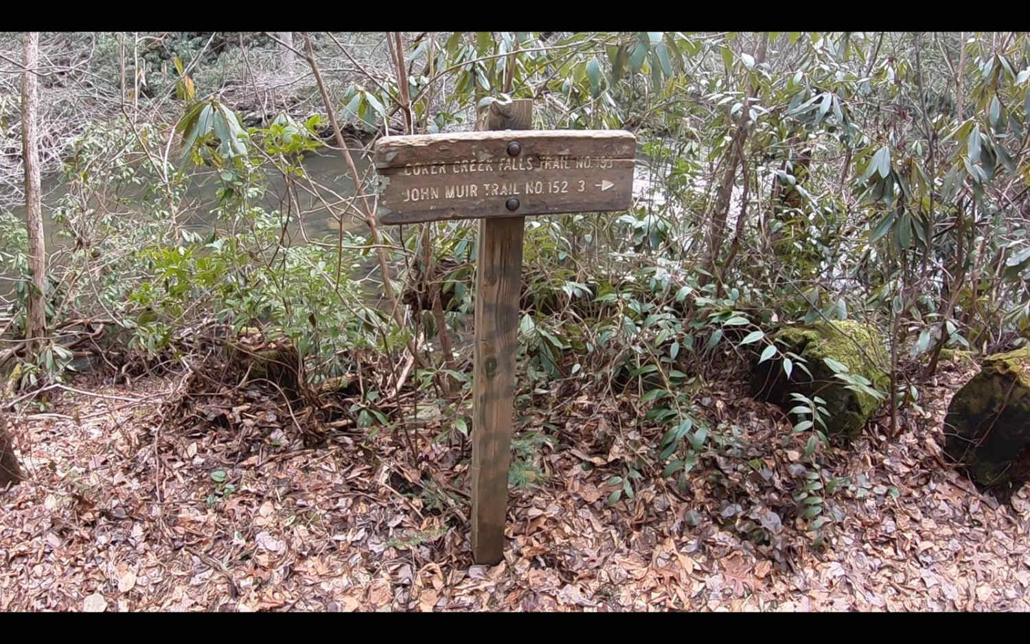
Trail Overview
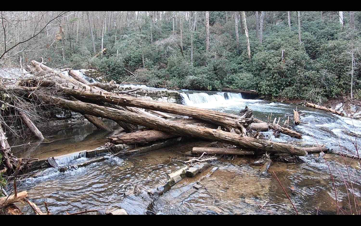
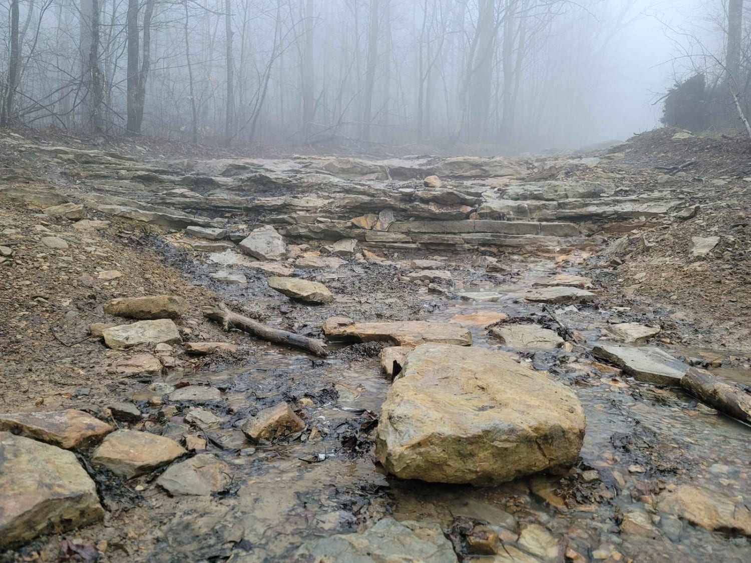
The trail winds off the side of the mountain down to the historic Coker Creek River. This is known as the Lower Coker Creek trailhead. You will find a few very secluded camp spots along the river at the end of this trail. Many people use this as a base camp to hike the surrounding trails along the river and up the John Muir hiking trail. This trail is mostly rocky, with a few washouts along the way. However, at the end of the trail, where the camp spots are. There is an obstacle that you will need four-wheel drive to get down to the camp spots and back out of.
Photos of Duckett Ridge FSR #22B
Difficulty
Most of the trail is gravel and small rocks with some washout along the way. However, the reason I rate this trail a 3 is the hill decent/accent to the camp spots. It is rutted out, and the rock causes you to get off camber. Any four-wheel drive will be able to do it; just take your time.
History
Coker Creek thrived during its gold rush that lasted from 1831-1854 during that time it is estimated by locals to have earned $80,000. It also, is apart of the historic Unicoi Turnpike which was used during the trail of tears responsible for relocating 17,000 Cherokee Indians from the area in the late 17th Century. Today, this area is known for the John Muir hiking trial that travels through the area.
Duckett Ridge FSR #22B can be accessed by the following ride types:
- High-Clearance 4x4
- SUV
- SxS (60")
- ATV (50")
- Dirt Bike
Duckett Ridge FSR #22B Map
Popular Trails
60 - Bridge Branch

Jones Creek Road

Web Hollow Road
Rainbow Falls Loop
The onX Offroad Difference
onX Offroad combines trail photos, descriptions, difficulty ratings, width restrictions, seasonality, and more in a user-friendly interface. Available on all devices, with offline access and full compatibility with CarPlay and Android Auto. Discover what you’re missing today!