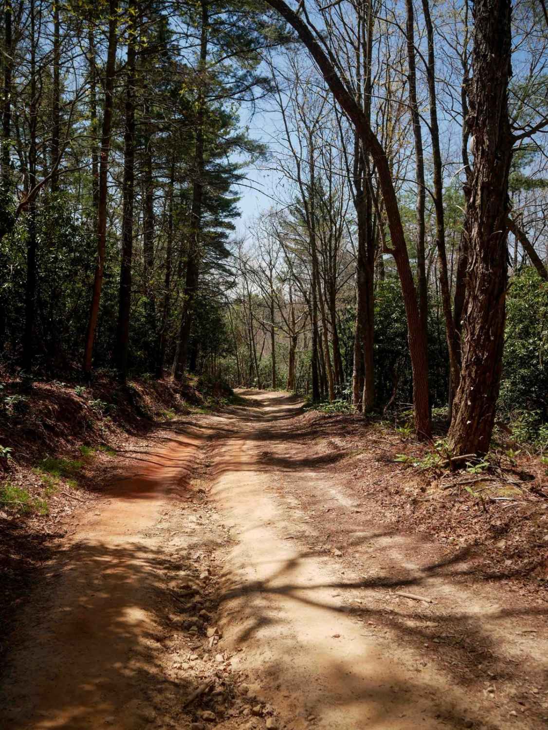
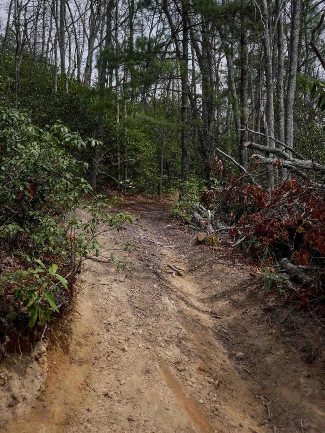
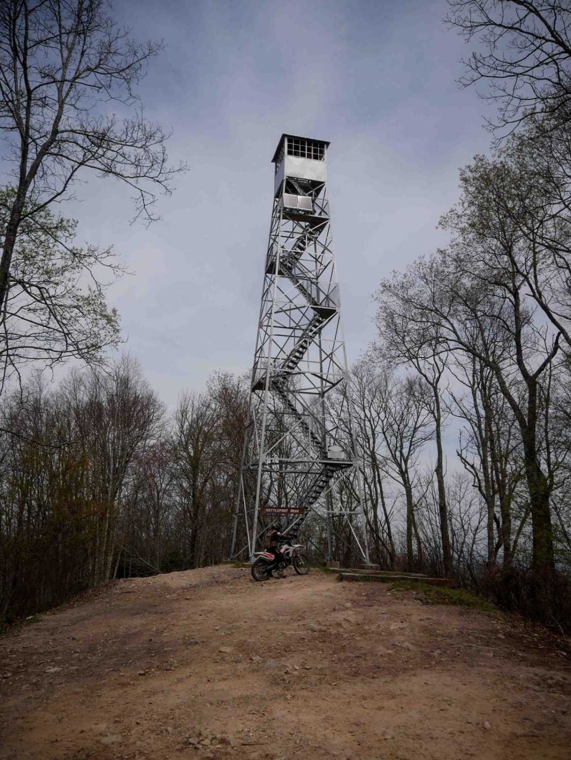
Off-Road Trails in Tennessee
Discover off-road trails in Tennessee
Learn more about 1 - Launchpad
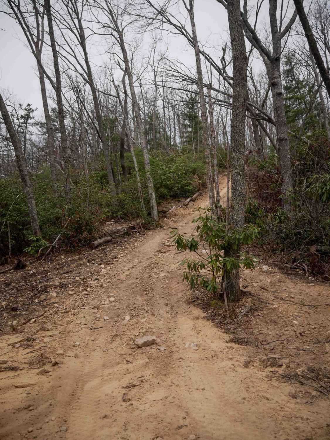
1 - Launchpad
Total Miles
1.2
Tech Rating
Easy
Best Time
Spring, Summer, Fall, Winter
Learn more about 11 - Ground Control
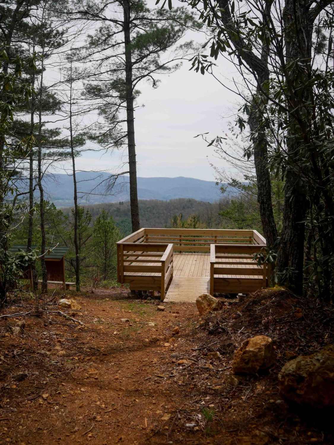
11 - Ground Control
Total Miles
0.3
Tech Rating
Easy
Best Time
Spring, Summer, Fall, Winter
Learn more about 11- Pilot Mountain
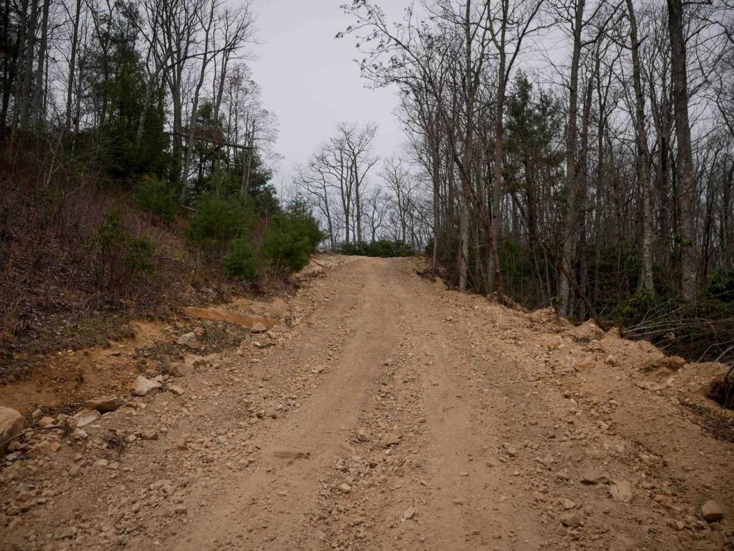
11- Pilot Mountain
Total Miles
4.2
Tech Rating
Moderate
Best Time
Spring, Summer, Fall, Winter

Learn more about 16 - Mud Suck Creek
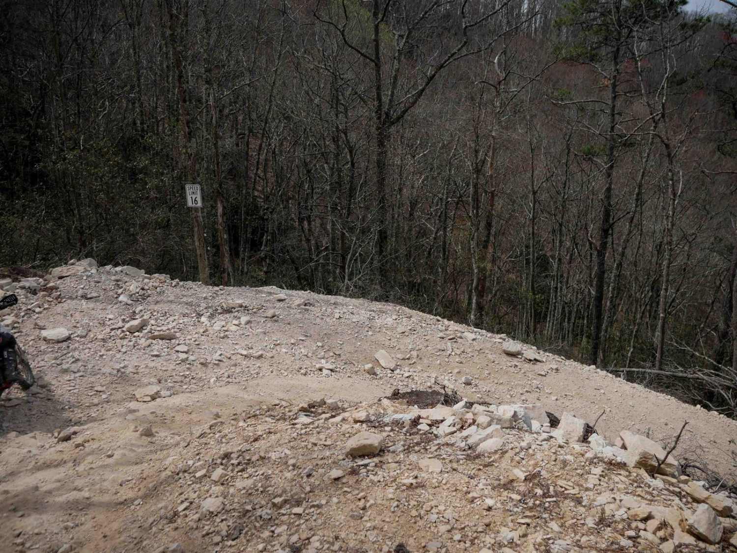
16 - Mud Suck Creek
Total Miles
5.5
Tech Rating
Difficult
Best Time
Spring, Summer, Fall, Winter
Learn more about 2 - Convergence
2 - Convergence
Total Miles
0.5
Tech Rating
Easy
Best Time
Spring, Fall, Winter, Summer
ATV trails in Tennessee
Learn more about 66 - Caryville Flats
66 - Caryville Flats
Total Miles
1.5
Tech Rating
Easy
Best Time
Spring, Summer, Fall, Winter
Learn more about 7 - Ascension 
7 - Ascension
Total Miles
0.1
Tech Rating
Moderate
Best Time
Spring, Summer, Fall, Winter
Learn more about 70 - Disney Hollow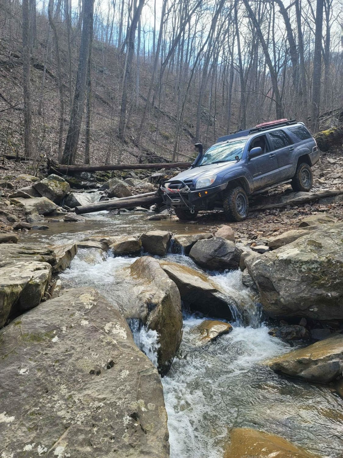
70 - Disney Hollow
Total Miles
3.3
Tech Rating
Moderate
Best Time
Spring, Summer, Fall, Winter
Learn more about 73 - Harness Creek 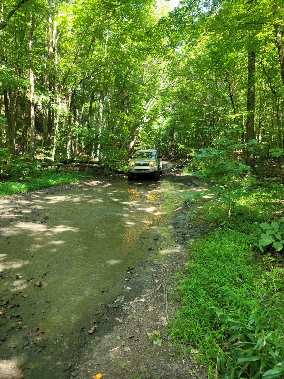
73 - Harness Creek
Total Miles
0.6
Tech Rating
Easy
Best Time
Spring, Summer, Fall, Winter
UTV/side-by-side trails in Tennessee
Learn more about 1 - Launchpad
1 - Launchpad
Total Miles
1.2
Tech Rating
Easy
Best Time
Spring, Summer, Fall, Winter
Learn more about 11 - Ground Control
11 - Ground Control
Total Miles
0.3
Tech Rating
Easy
Best Time
Spring, Summer, Fall, Winter
The onX Offroad Difference
onX Offroad combines trail photos, descriptions, difficulty ratings, width restrictions, seasonality, and more in a user-friendly interface. Available on all devices, with offline access and full compatibility with CarPlay and Android Auto. Discover what you’re missing today!