Off-Road Trails in Missouri
Discover off-road trails in Missouri
Learn more about Chug-A-Lug - FS 446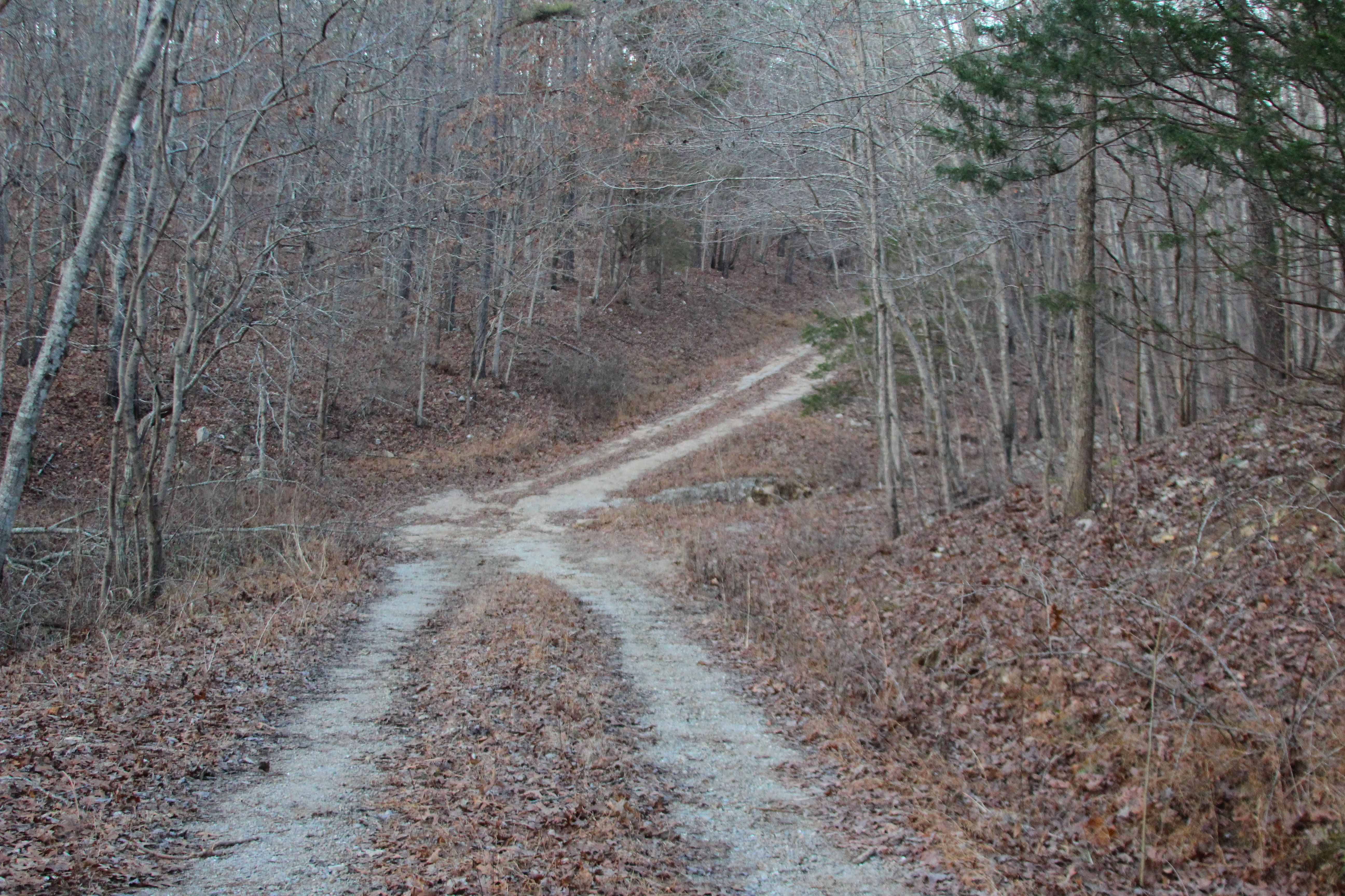
Chug-A-Lug - FS 446
Total Miles
1.7
Tech Rating
Easy
Best Time
Spring, Summer, Fall, Winter
Learn more about Cistern Ridge - FS 2478
Cistern Ridge - FS 2478
Total Miles
3.7
Tech Rating
Easy
Best Time
Spring, Summer, Fall, Winter
Learn more about Clear Creek North Side - FS 2269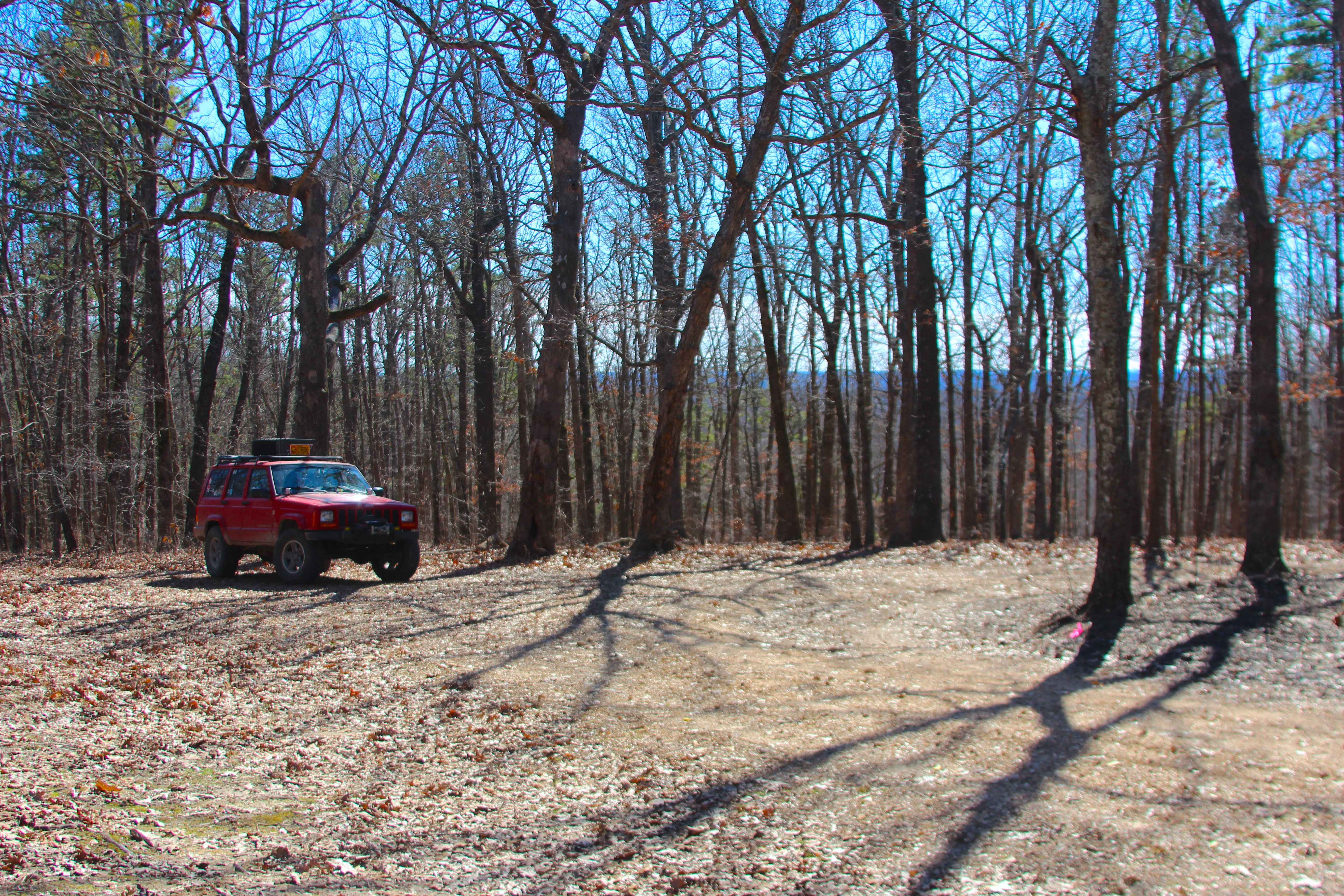
Clear Creek North Side - FS 2269
Total Miles
0.7
Tech Rating
Easy
Best Time
Spring, Summer, Fall, Winter
Learn more about Clearwater Lake Dam Road
Clearwater Lake Dam Road
Total Miles
0.5
Tech Rating
Easy
Best Time
Spring, Summer, Fall
Learn more about Clifty Creek
Clifty Creek
Total Miles
1.6
Tech Rating
Easy
Best Time
Fall, Spring, Winter, Summer
Learn more about Clubhouse Bluff - CCR 221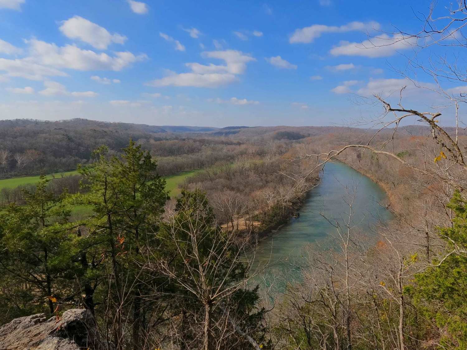
Clubhouse Bluff - CCR 221
Total Miles
4.8
Tech Rating
Easy
Best Time
Spring, Summer, Fall, Winter
Learn more about Coffee Creek Road
Coffee Creek Road
Total Miles
2.2
Tech Rating
Easy
Best Time
Spring, Summer, Fall, Winter
Learn more about Coffee Creek Trail #1
Coffee Creek Trail #1
Total Miles
0.4
Tech Rating
Easy
Best Time
Winter, Fall, Summer, Spring
Learn more about Coffee Creek Trail #2
Coffee Creek Trail #2
Total Miles
0.3
Tech Rating
Easy
Best Time
Spring, Summer, Fall, Winter
Learn more about Coffee Creek Woodlands Trail #1
Coffee Creek Woodlands Trail #1
Total Miles
0.6
Tech Rating
Moderate
Best Time
Spring, Summer, Fall, Winter
Learn more about Coffee Creek Woodlands Trail #2
Coffee Creek Woodlands Trail #2
Total Miles
0.3
Tech Rating
Easy
Best Time
Spring, Summer, Fall, Winter
Learn more about Coffee Creek Woodlands Trail #3
Coffee Creek Woodlands Trail #3
Total Miles
0.3
Tech Rating
Easy
Best Time
Spring, Summer, Fall, Winter
Learn more about Coffee Crossing
Coffee Crossing
Total Miles
0.5
Tech Rating
Easy
Best Time
Spring, Summer, Fall, Winter
Learn more about Coffee Hills Trail #1
Coffee Hills Trail #1
Total Miles
0.5
Tech Rating
Easy
Best Time
Spring, Summer, Fall, Winter
Learn more about Coffee Hills Trail #2
Coffee Hills Trail #2
Total Miles
0.1
Tech Rating
Easy
Best Time
Spring, Summer, Fall, Winter
Learn more about Coffee Hills Trail #3
Coffee Hills Trail #3
Total Miles
0.1
Tech Rating
Easy
Best Time
Spring, Fall, Summer, Winter
Learn more about Coffee Hills Trail #4
Coffee Hills Trail #4
Total Miles
0.1
Tech Rating
Easy
Best Time
Spring, Summer, Fall, Winter
Learn more about Coffman Hollow - FS 2907
Coffman Hollow - FS 2907
Total Miles
2.0
Tech Rating
Easy
Best Time
Spring, Summer, Fall, Winter
Learn more about Colen Ridge Road
Colen Ridge Road
Total Miles
4.3
Tech Rating
Easy
Best Time
Spring, Summer, Fall, Winter
Learn more about Collins Cemetery Road
Collins Cemetery Road
Total Miles
0.7
Tech Rating
Easy
Best Time
Summer, Spring, Fall, Winter
ATV trails in Missouri


Learn more about 4 of 5
4 of 5
Total Miles
0.0
Tech Rating
Difficult
Best Time
Spring, Summer, Fall, Winter
UTV/side-by-side trails in Missouri
Learn more about 4 of 5
4 of 5
Total Miles
0.0
Tech Rating
Difficult
Best Time
Spring, Summer, Fall, Winter
The onX Offroad Difference
onX Offroad combines trail photos, descriptions, difficulty ratings, width restrictions, seasonality, and more in a user-friendly interface. Available on all devices, with offline access and full compatibility with CarPlay and Android Auto. Discover what you’re missing today!