Off-Road Trails in Missouri
Discover off-road trails in Missouri
Learn more about Cave Spoon
Cave Spoon
Total Miles
3.7
Tech Rating
Easy
Best Time
Spring, Summer, Fall, Winter
Learn more about Cave Spring - NPS 105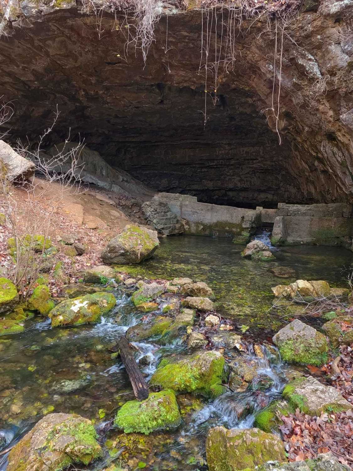
Cave Spring - NPS 105
Total Miles
0.9
Tech Rating
Easy
Best Time
Spring, Summer, Fall, Winter
Learn more about Cave Springs Spur A
Cave Springs Spur A
Total Miles
2.0
Tech Rating
Easy
Best Time
Spring, Summer, Fall, Winter
Learn more about Cedar Bottom FSR 2159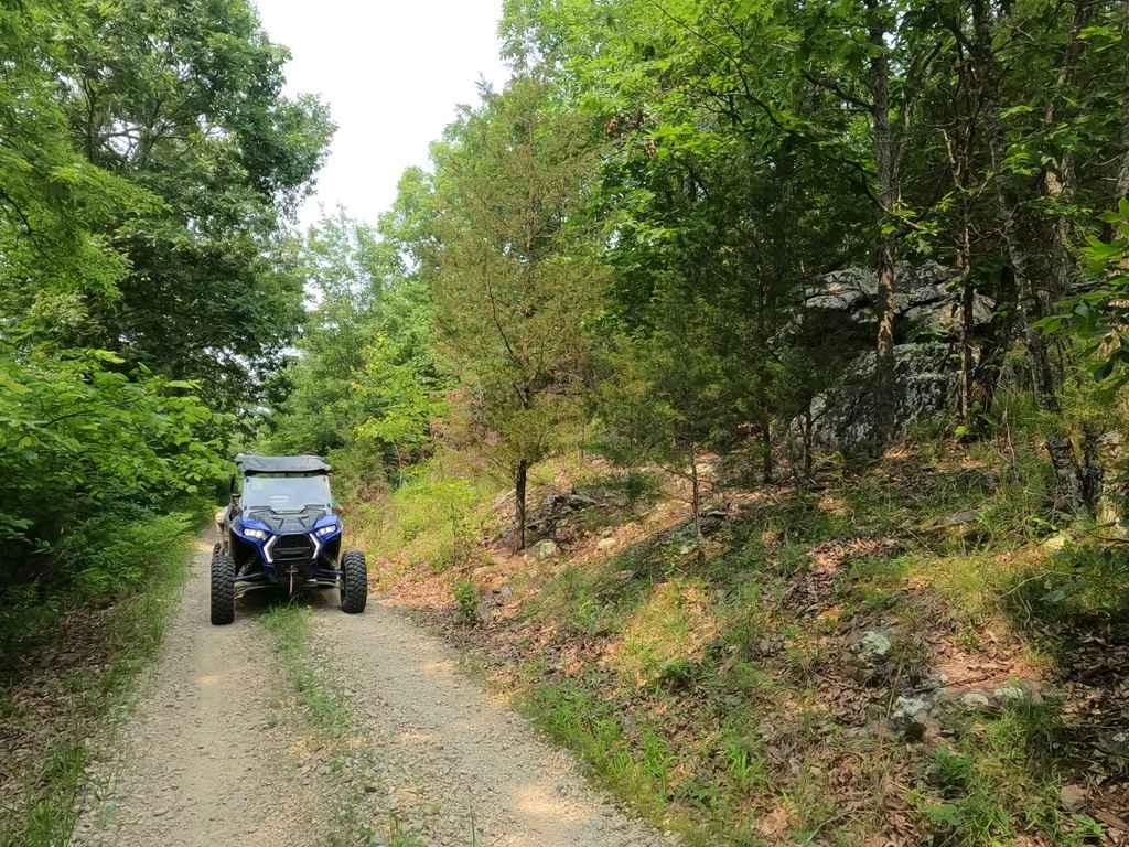
Cedar Bottom FSR 2159
Total Miles
0.9
Tech Rating
Easy
Best Time
Summer, Spring, Fall, Winter
Learn more about Cedar Ridge
Cedar Ridge
Total Miles
0.7
Tech Rating
Easy
Best Time
Spring, Summer, Fall, Winter
Learn more about Center Field Emergency Track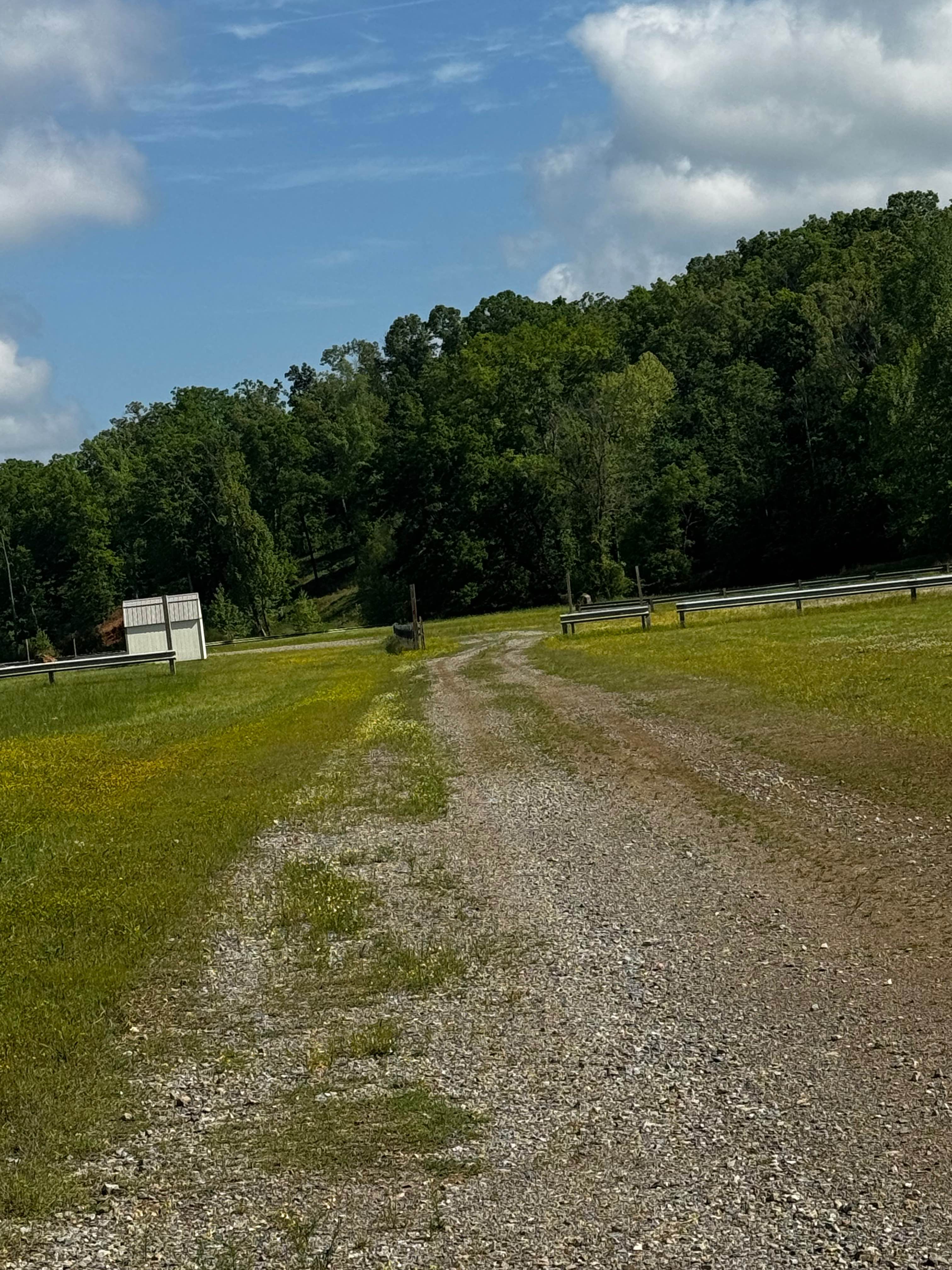
Center Field Emergency Track
Total Miles
0.2
Tech Rating
Easy
Best Time
Spring, Summer, Winter, Fall
Learn more about Central Bluffs Trail
Central Bluffs Trail
Total Miles
0.8
Tech Rating
Easy
Best Time
Spring, Summer, Fall, Winter
Learn more about Central Pond FSR 2144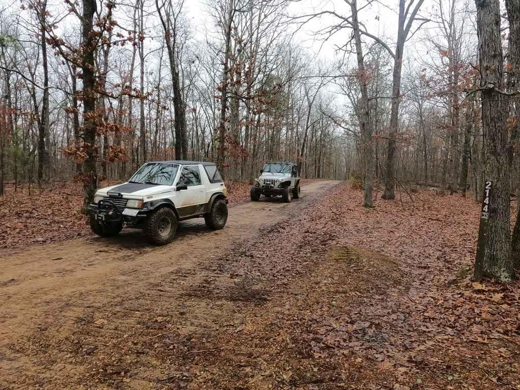
Central Pond FSR 2144
Total Miles
2.0
Tech Rating
Easy
Best Time
Spring, Fall, Winter, Summer
Learn more about Central Riverside Connector
Central Riverside Connector
Total Miles
0.2
Tech Rating
Easy
Best Time
Spring, Summer, Fall, Winter
Learn more about Central School FSR 2100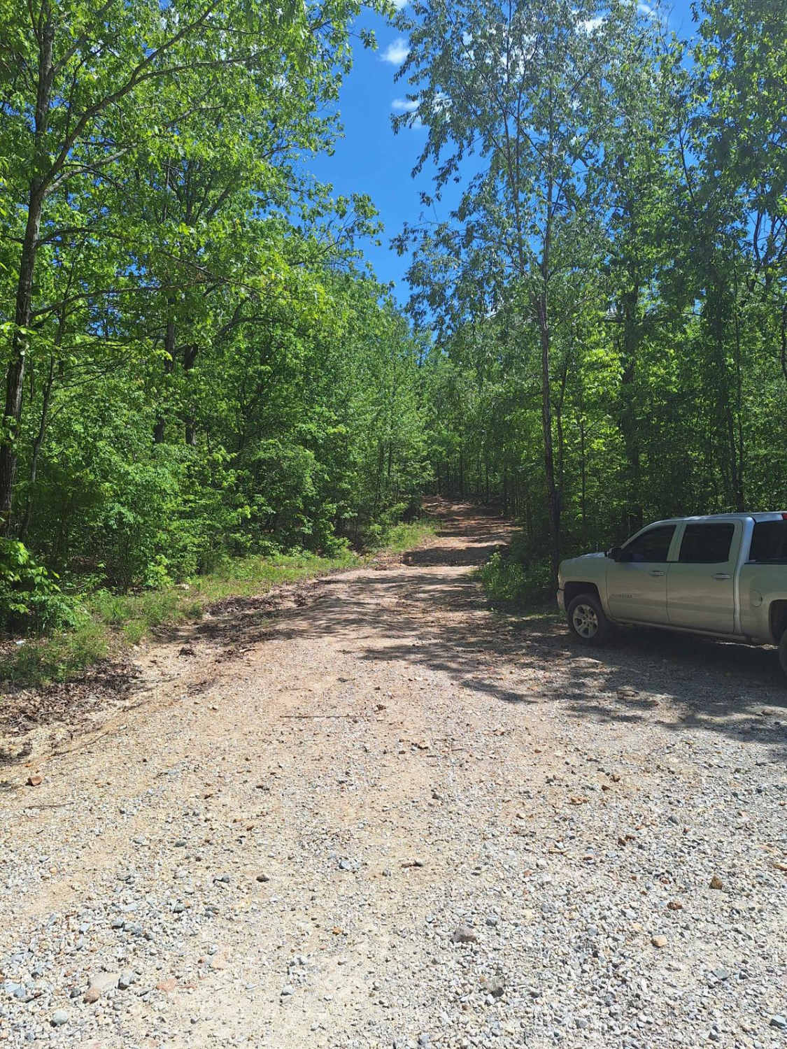
Central School FSR 2100
Total Miles
2.7
Tech Rating
Easy
Best Time
Spring, Summer, Fall, Winter
Learn more about Chance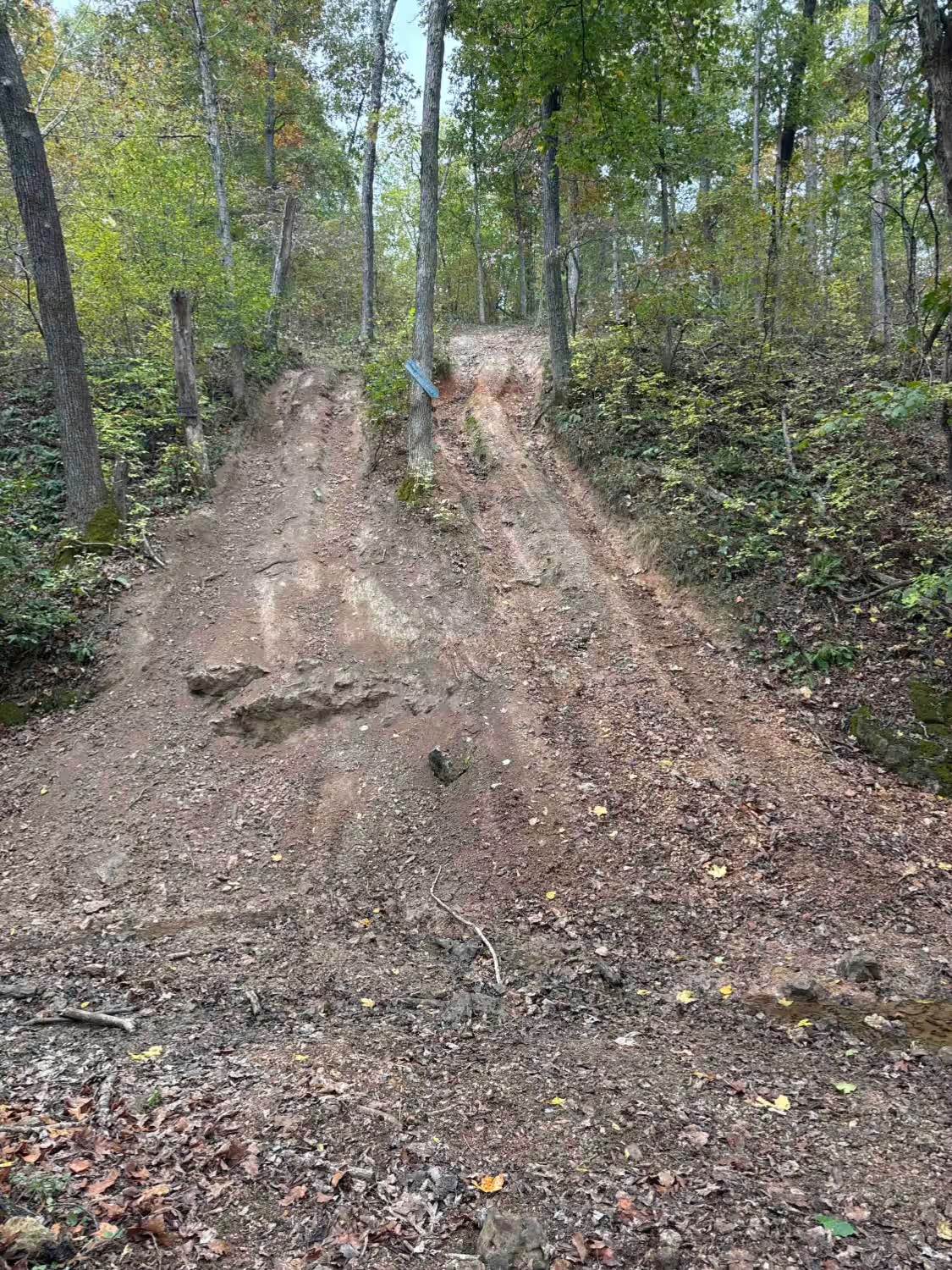
Chance
Total Miles
0.0
Tech Rating
Difficult
Best Time
Spring, Summer, Fall, Winter
Learn more about Charlton Bluff/Seematter Hollow Road
Charlton Bluff/Seematter Hollow Road
Total Miles
1.1
Tech Rating
Easy
Best Time
Spring, Summer, Fall, Winter
Learn more about Cherokee Pass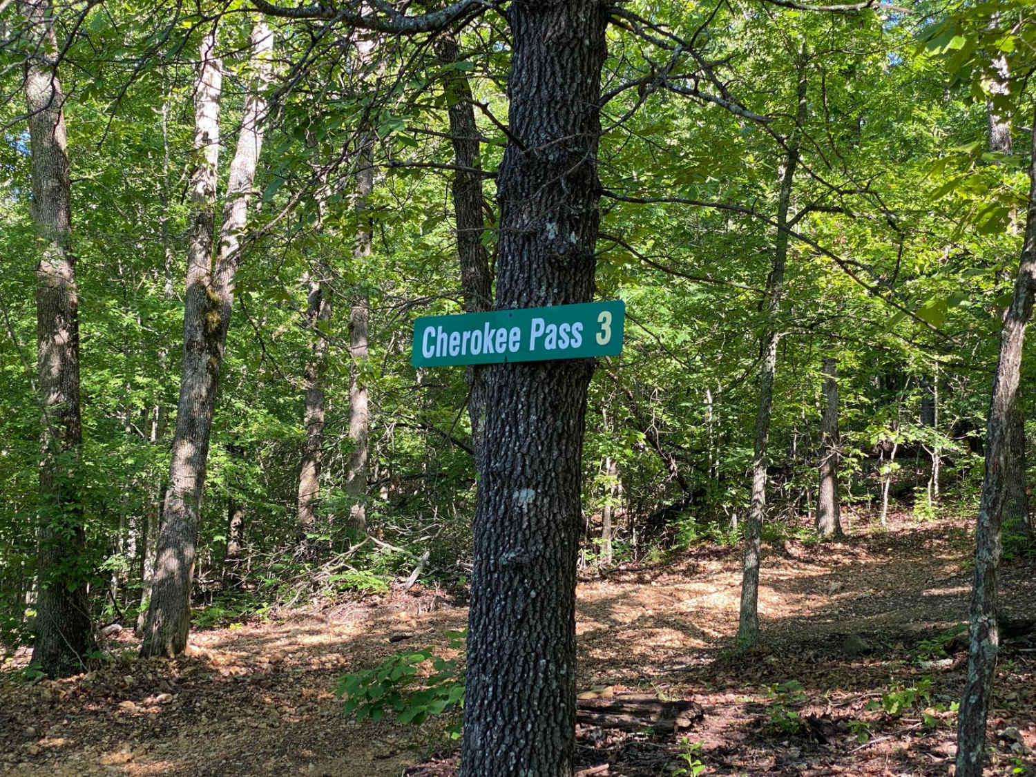
Cherokee Pass
Total Miles
0.5
Tech Rating
Easy
Best Time
Spring, Summer, Fall
Learn more about Chigger Lane
Chigger Lane
Total Miles
0.1
Tech Rating
Easy
Best Time
Spring, Summer, Fall, Winter
Learn more about Chimney Trail
Chimney Trail
Total Miles
0.2
Tech Rating
Easy
Best Time
Spring, Summer, Fall, Winter
Learn more about Chimney Trail Bypass
Chimney Trail Bypass
Total Miles
0.2
Tech Rating
Easy
Best Time
Spring, Summer, Fall, Winter
Learn more about Chloride Leatherwood FSR 2142
Chloride Leatherwood FSR 2142
Total Miles
1.4
Tech Rating
Easy
Best Time
Summer, Fall, Winter
Learn more about Chloride Ridge FSR 2112
Chloride Ridge FSR 2112
Total Miles
1.7
Tech Rating
Easy
Best Time
Spring, Summer, Fall, Winter
ATV trails in Missouri


Learn more about 4 of 5
4 of 5
Total Miles
0.0
Tech Rating
Difficult
Best Time
Spring, Summer, Fall, Winter
UTV/side-by-side trails in Missouri
Learn more about 4 of 5
4 of 5
Total Miles
0.0
Tech Rating
Difficult
Best Time
Spring, Summer, Fall, Winter
The onX Offroad Difference
onX Offroad combines trail photos, descriptions, difficulty ratings, width restrictions, seasonality, and more in a user-friendly interface. Available on all devices, with offline access and full compatibility with CarPlay and Android Auto. Discover what you’re missing today!