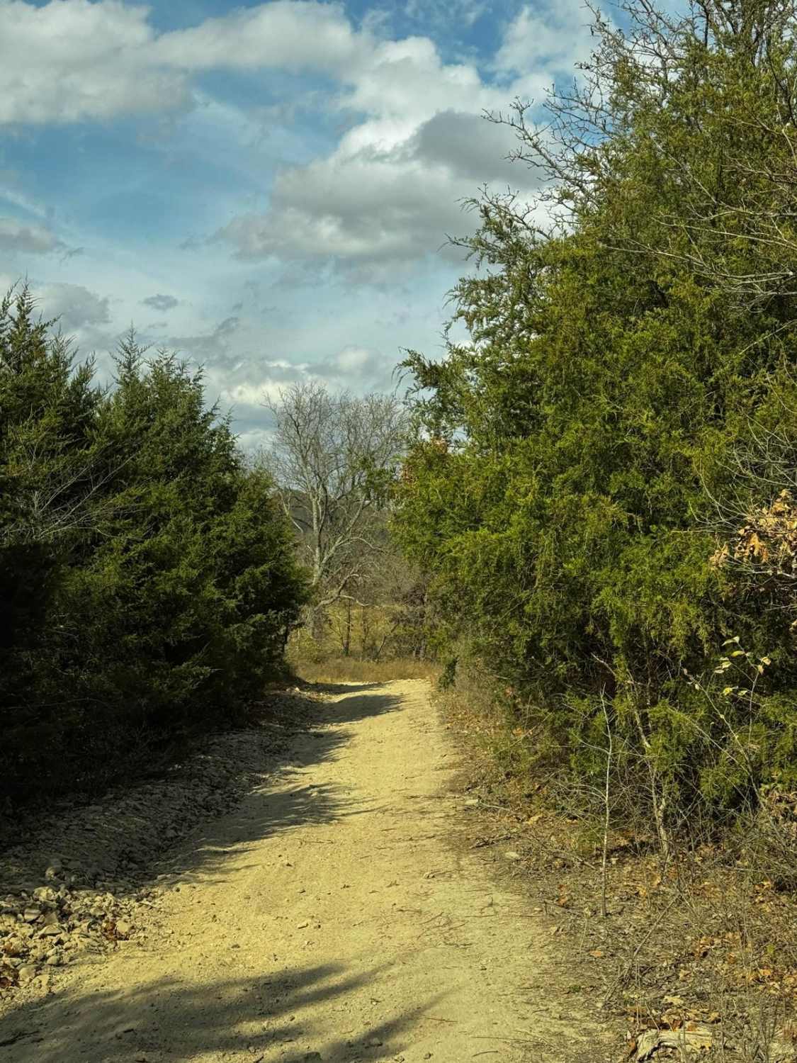
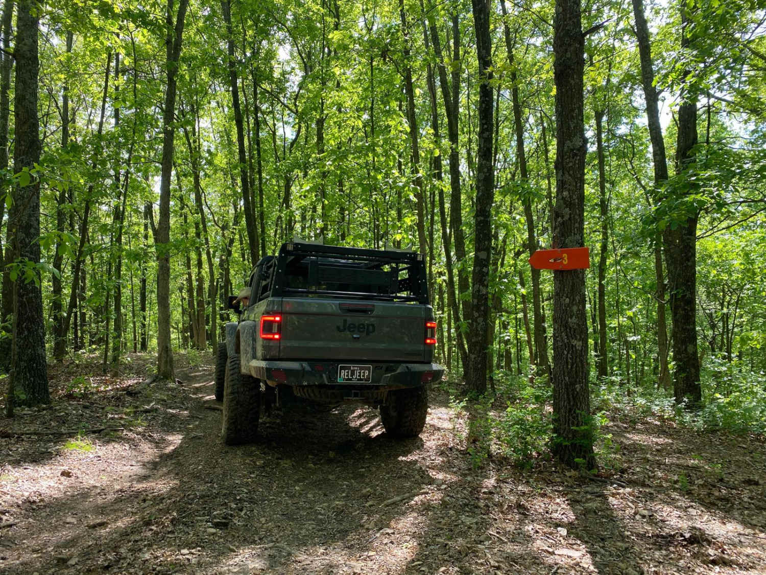
Off-Road Trails in Missouri
Discover off-road trails in Missouri
Learn more about Big Cat Access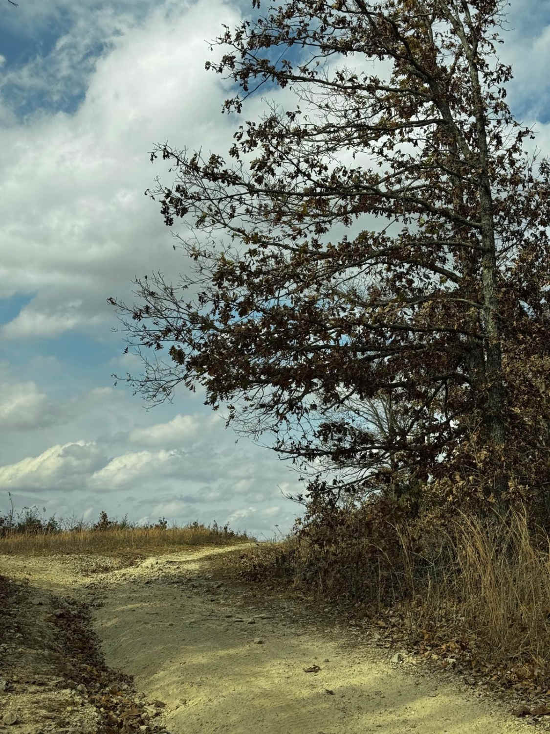
Big Cat Access
Total Miles
0.1
Tech Rating
Easy
Best Time
Spring, Summer, Fall, Winter
Learn more about Big Cat Mid
Big Cat Mid
Total Miles
0.1
Tech Rating
Easy
Best Time
Spring, Summer, Fall, Winter
Learn more about Big Cat Upper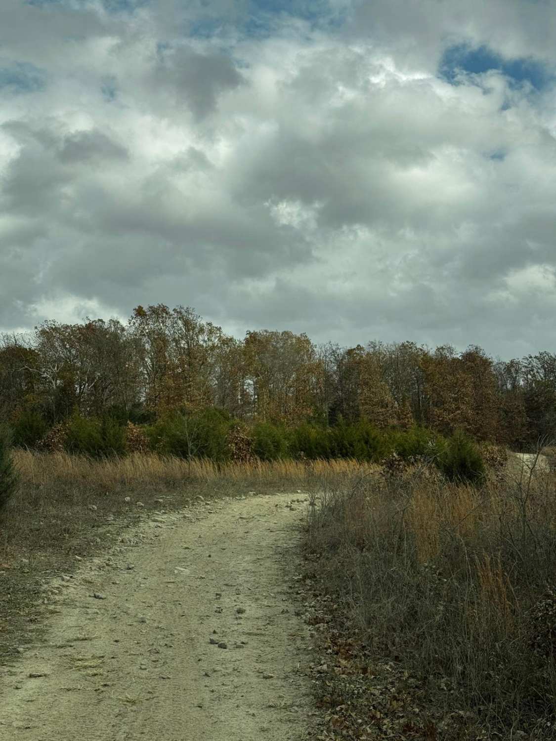
Big Cat Upper
Total Miles
0.1
Tech Rating
Easy
Best Time
Spring, Summer, Fall, Winter
Learn more about Big Foot 6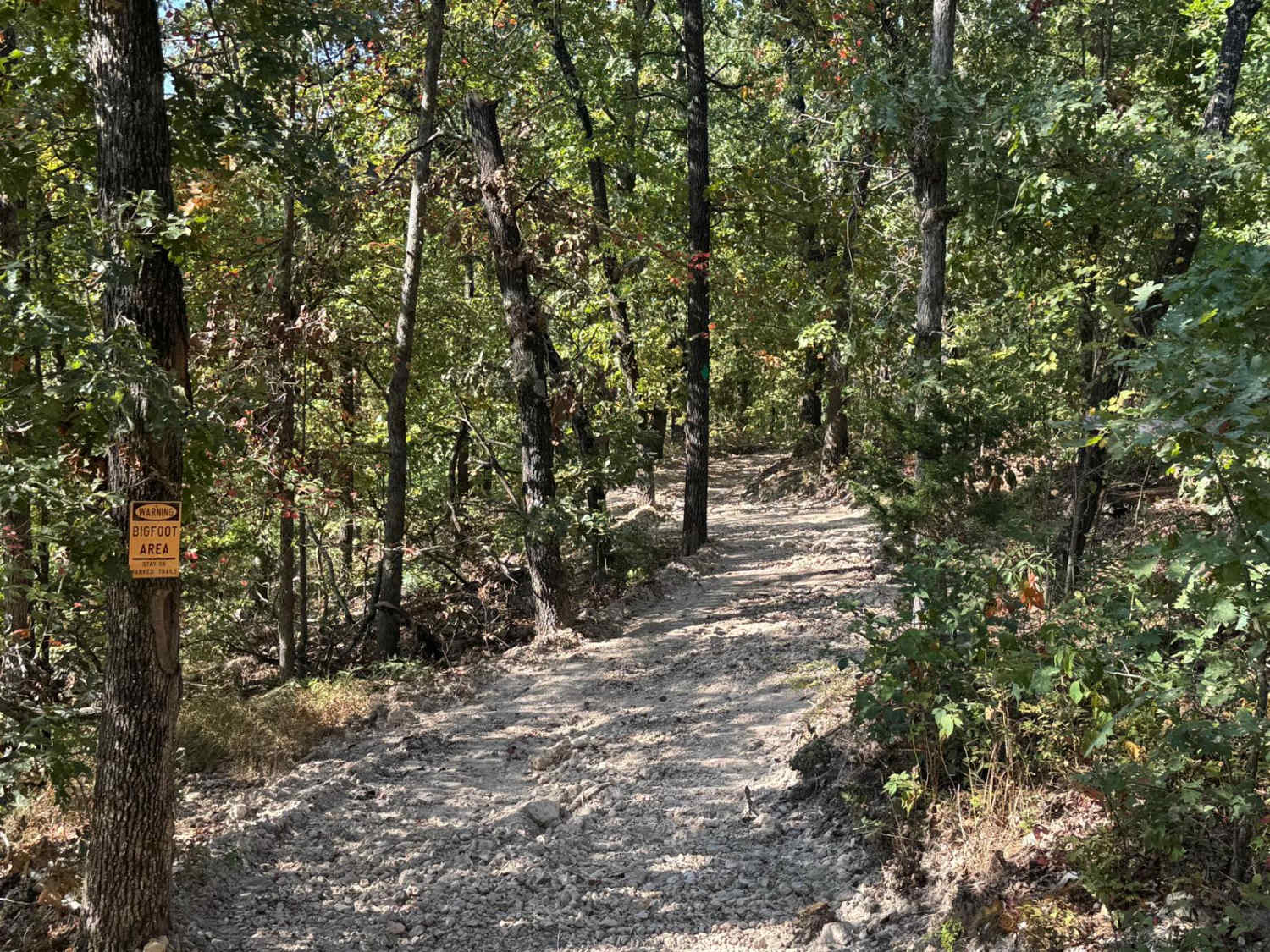
Big Foot 6
Total Miles
1.0
Tech Rating
Easy
Best Time
Spring, Summer, Fall, Winter
Learn more about Big Gulch - FS 497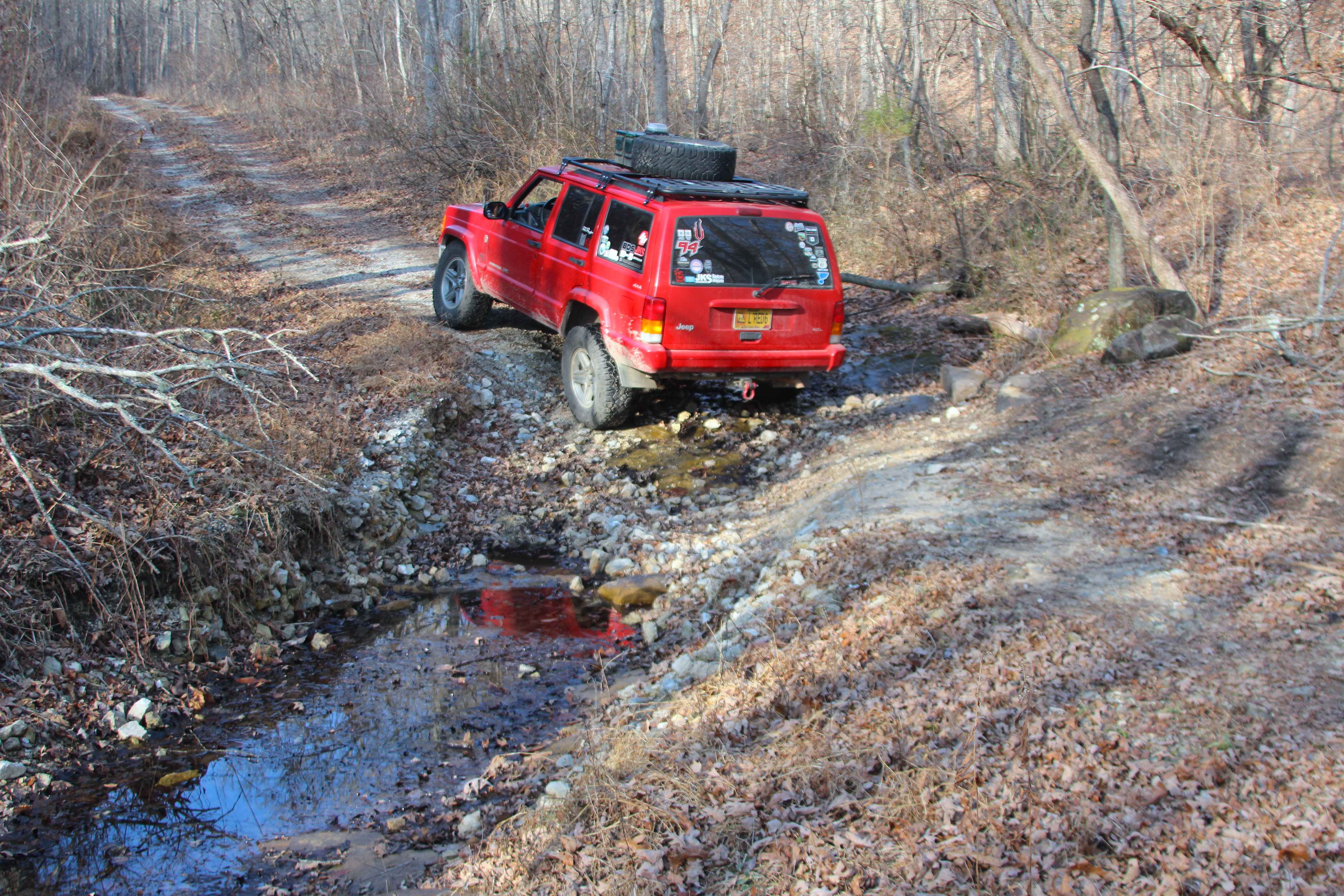
Big Gulch - FS 497
Total Miles
2.1
Tech Rating
Easy
Best Time
Spring, Summer, Fall, Winter
Learn more about Big Oooof
Big Oooof
Total Miles
0.1
Tech Rating
Moderate
Best Time
Spring, Summer, Fall, Winter
Learn more about Bill Smith Hollow FSR 2064
Bill Smith Hollow FSR 2064
Total Miles
1.4
Tech Rating
Moderate
Best Time
Spring, Summer, Fall, Winter
Learn more about Billys Branch - FS 2608
Billys Branch - FS 2608
Total Miles
1.2
Tech Rating
Easy
Best Time
Spring, Summer, Fall, Winter
Learn more about Bird Loop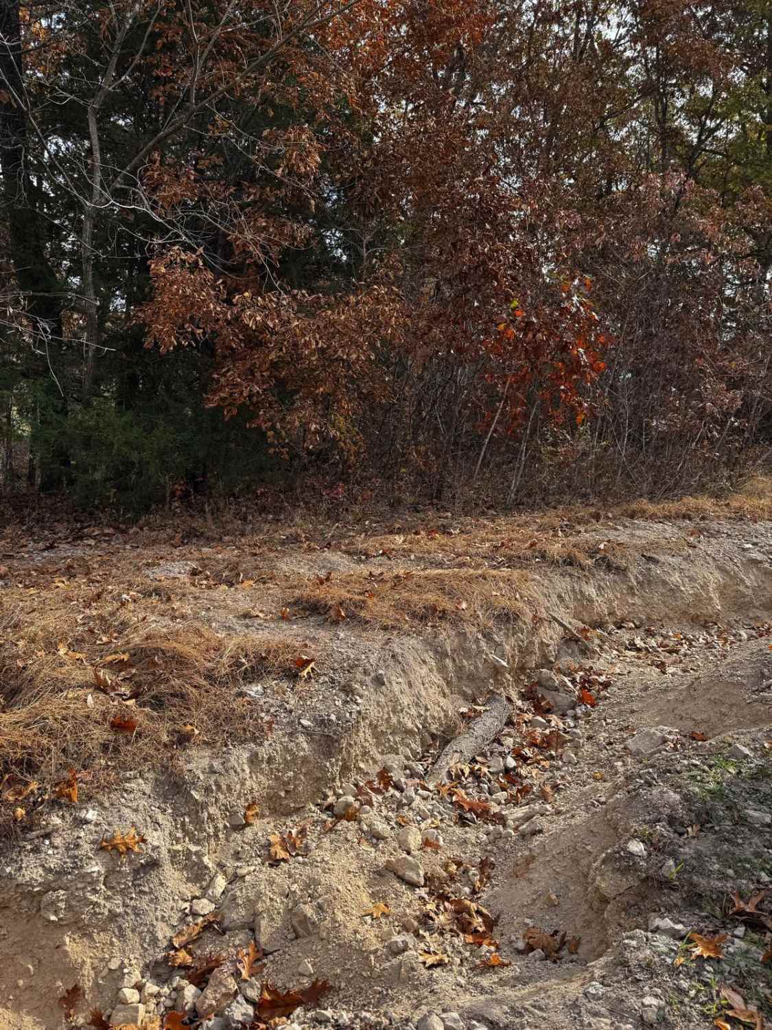
Bird Loop
Total Miles
1.1
Tech Rating
Moderate
Best Time
Spring, Summer, Fall, Winter
Learn more about Black Mamba
Black Mamba
Total Miles
0.9
Tech Rating
Moderate
Best Time
Spring, Summer, Fall
Learn more about Black Widow 389
Black Widow 389
Total Miles
0.3
Tech Rating
Difficult
Best Time
Spring, Summer, Fall, Winter
Learn more about Blind Raccoon Bo-Co Road 360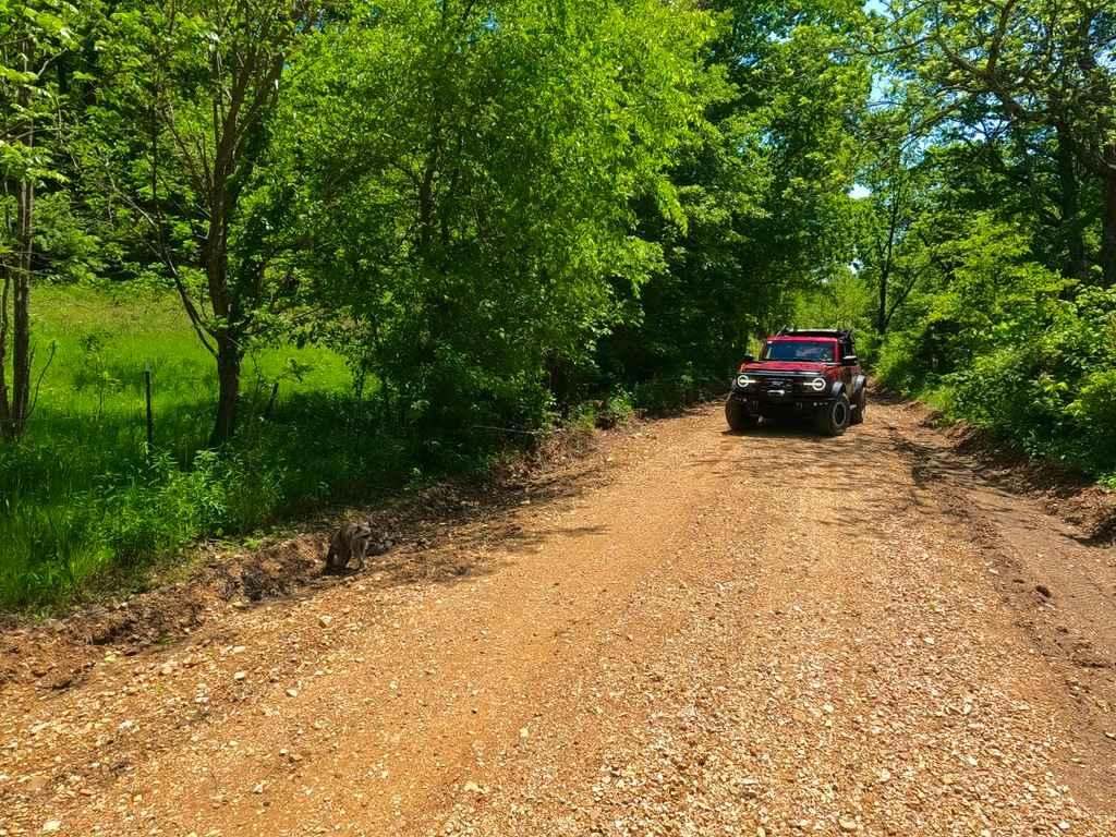
Blind Raccoon Bo-Co Road 360
Total Miles
2.6
Tech Rating
Easy
Best Time
Summer, Fall, Spring
Learn more about Blooming Rose - FS 1503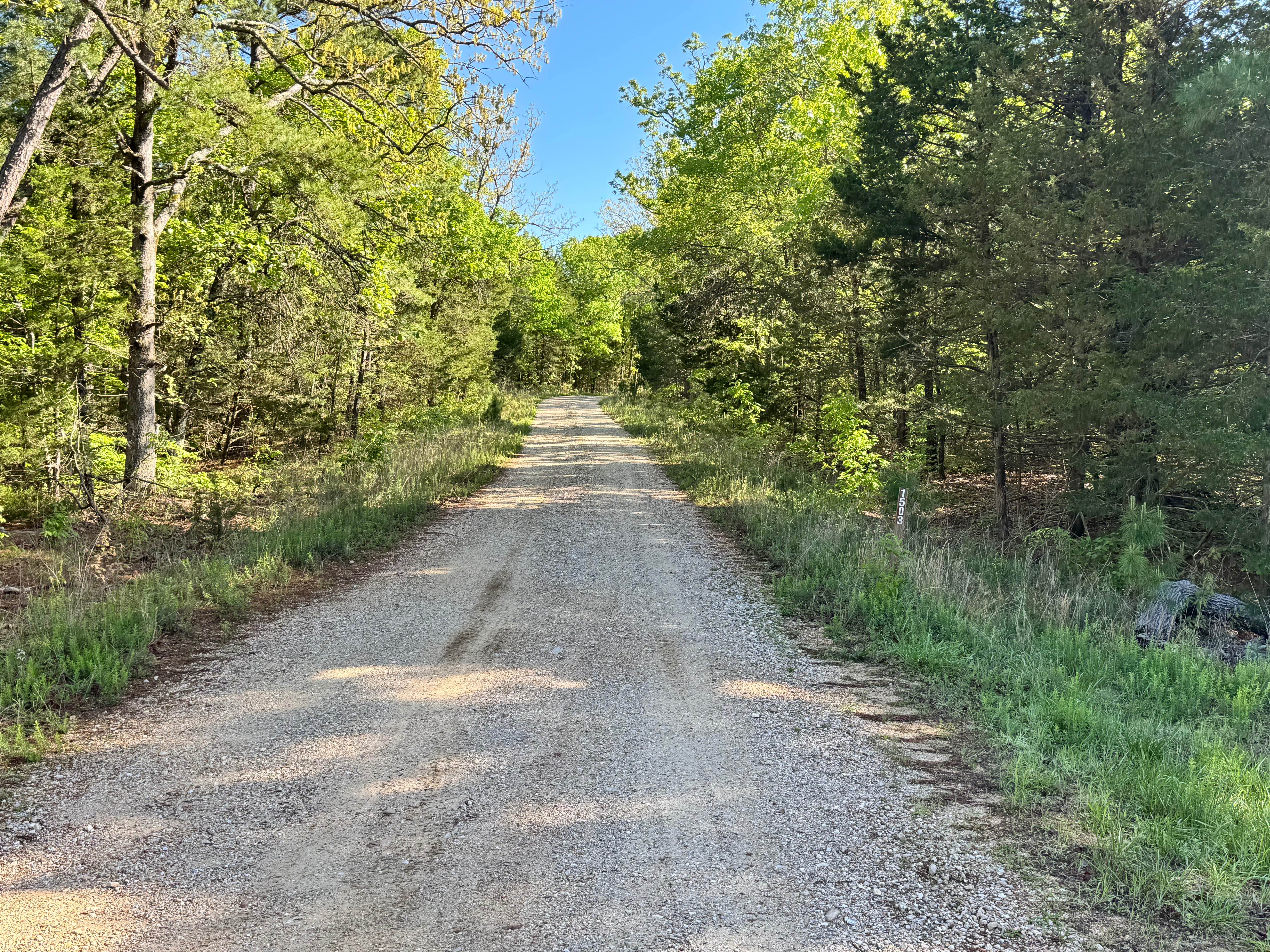
Blooming Rose - FS 1503
Total Miles
1.1
Tech Rating
Easy
Best Time
Spring, Summer, Fall, Winter
Learn more about Blooming Rose Spur B
Blooming Rose Spur B
Total Miles
1.4
Tech Rating
Easy
Best Time
Spring, Summer, Fall, Winter
Learn more about Blue Buck Tower - FS 121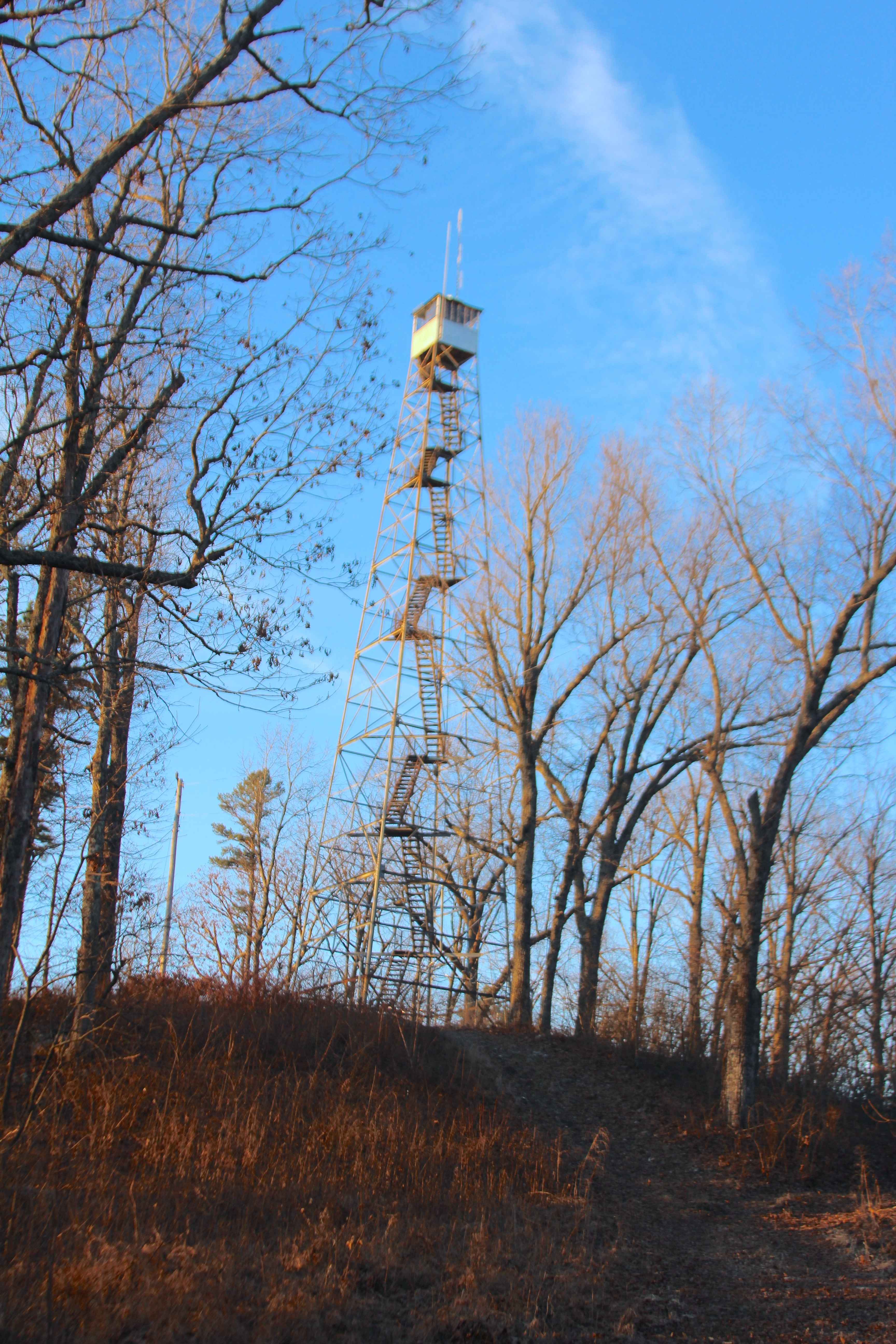
Blue Buck Tower - FS 121
Total Miles
0.5
Tech Rating
Easy
Best Time
Spring, Summer, Fall, Winter
Learn more about Blue Buck Tower Spur A - FS 121A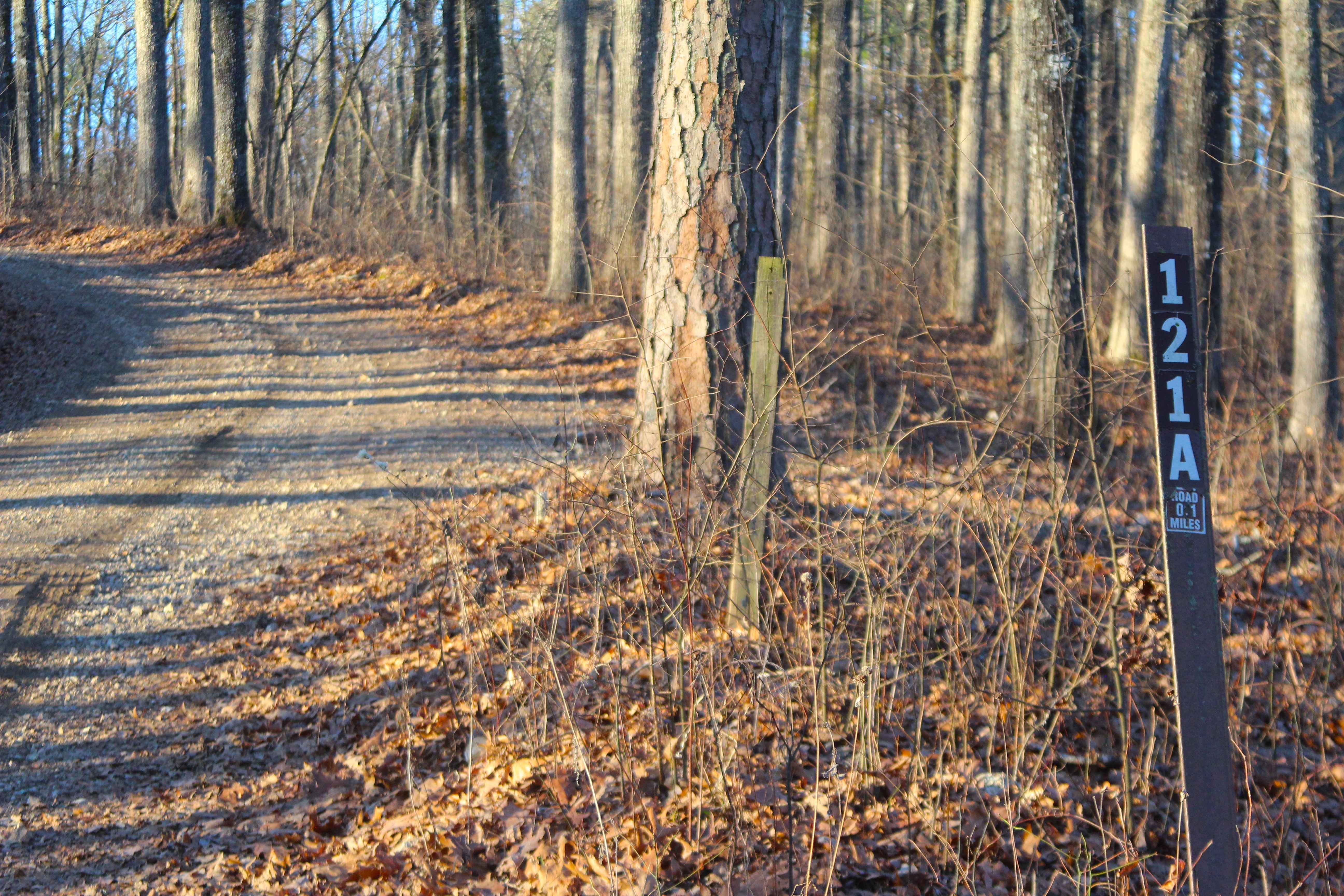
Blue Buck Tower Spur A - FS 121A
Total Miles
0.3
Tech Rating
Easy
Best Time
Spring, Summer, Fall, Winter
Learn more about Blue Ridge Road 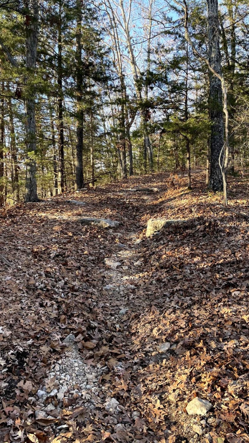
Blue Ridge Road
Total Miles
1.7
Tech Rating
Moderate
Best Time
Fall, Spring
Learn more about Bluff Run 
Bluff Run
Total Miles
0.3
Tech Rating
Moderate
Best Time
Summer, Fall, Spring, Winter
ATV trails in Missouri


Learn more about 4 of 5
4 of 5
Total Miles
0.0
Tech Rating
Difficult
Best Time
Spring, Summer, Fall, Winter
UTV/side-by-side trails in Missouri
Learn more about 4 of 5
4 of 5
Total Miles
0.0
Tech Rating
Difficult
Best Time
Spring, Summer, Fall, Winter
The onX Offroad Difference
onX Offroad combines trail photos, descriptions, difficulty ratings, width restrictions, seasonality, and more in a user-friendly interface. Available on all devices, with offline access and full compatibility with CarPlay and Android Auto. Discover what you’re missing today!