Off-Road Trails in Missouri
Discover off-road trails in Missouri
Learn more about Backside Connector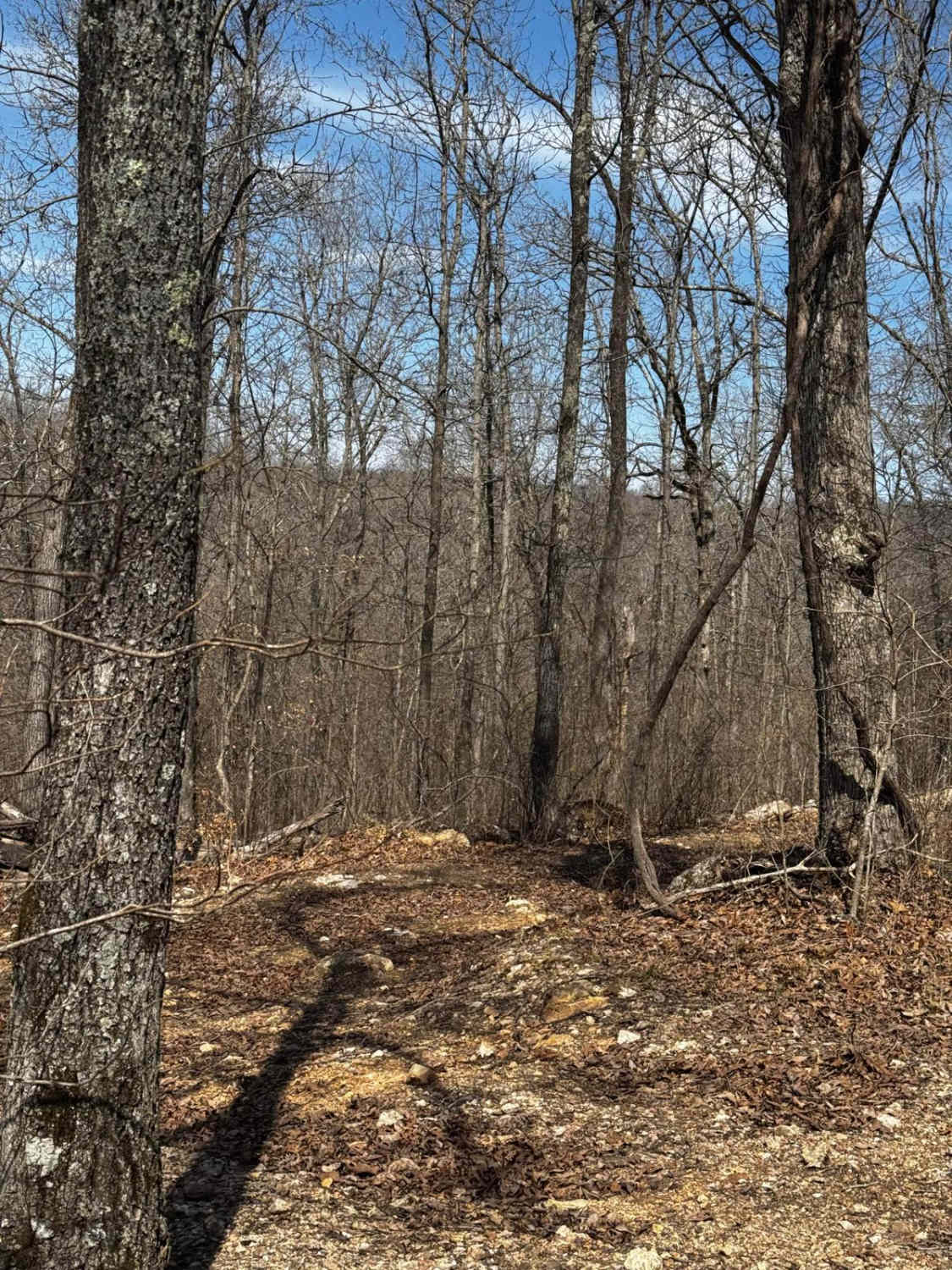
Backside Connector
Total Miles
0.0
Tech Rating
Easy
Best Time
Spring, Summer, Fall, Winter
Learn more about Backside Hill Climb Access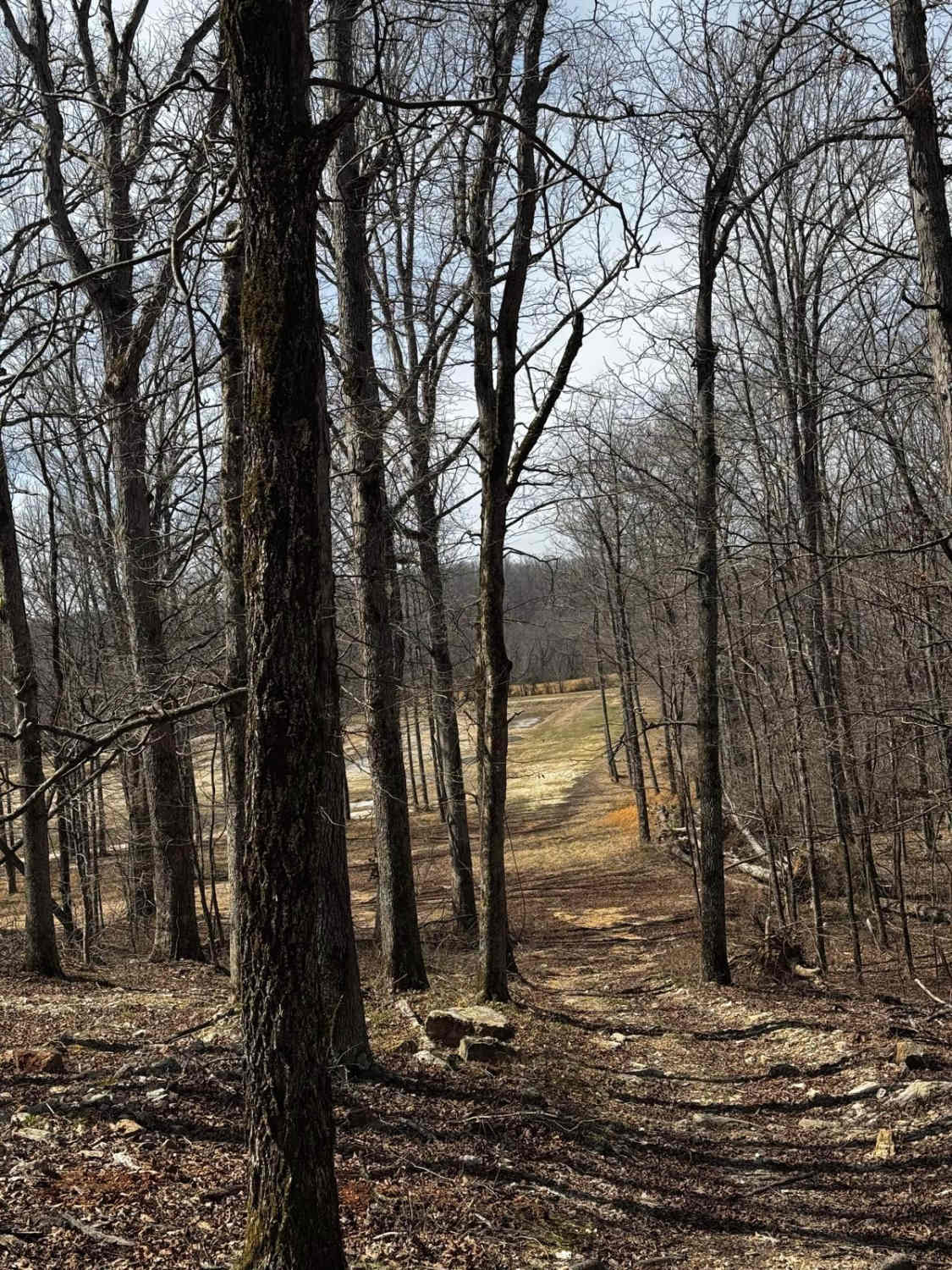
Backside Hill Climb Access
Total Miles
0.1
Tech Rating
Easy
Best Time
Spring, Summer, Fall, Winter
Learn more about Backwoods Road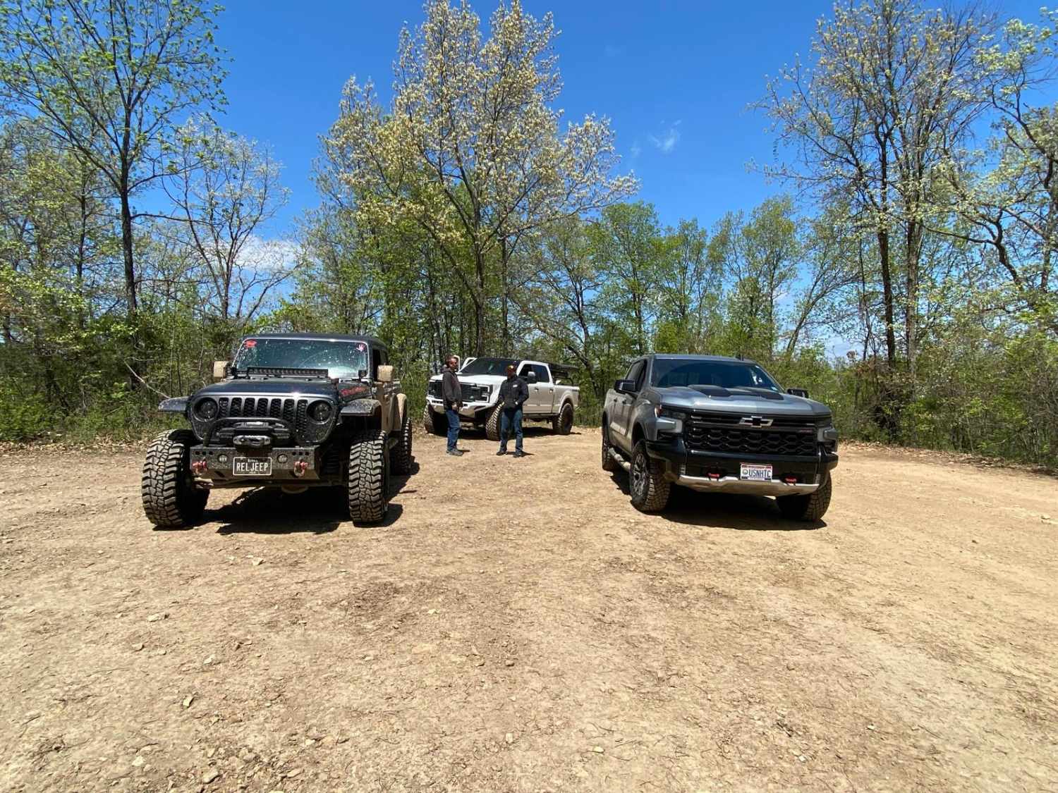
Backwoods Road
Total Miles
0.4
Tech Rating
Easy
Best Time
Spring, Summer, Fall
Learn more about Bad Bottoms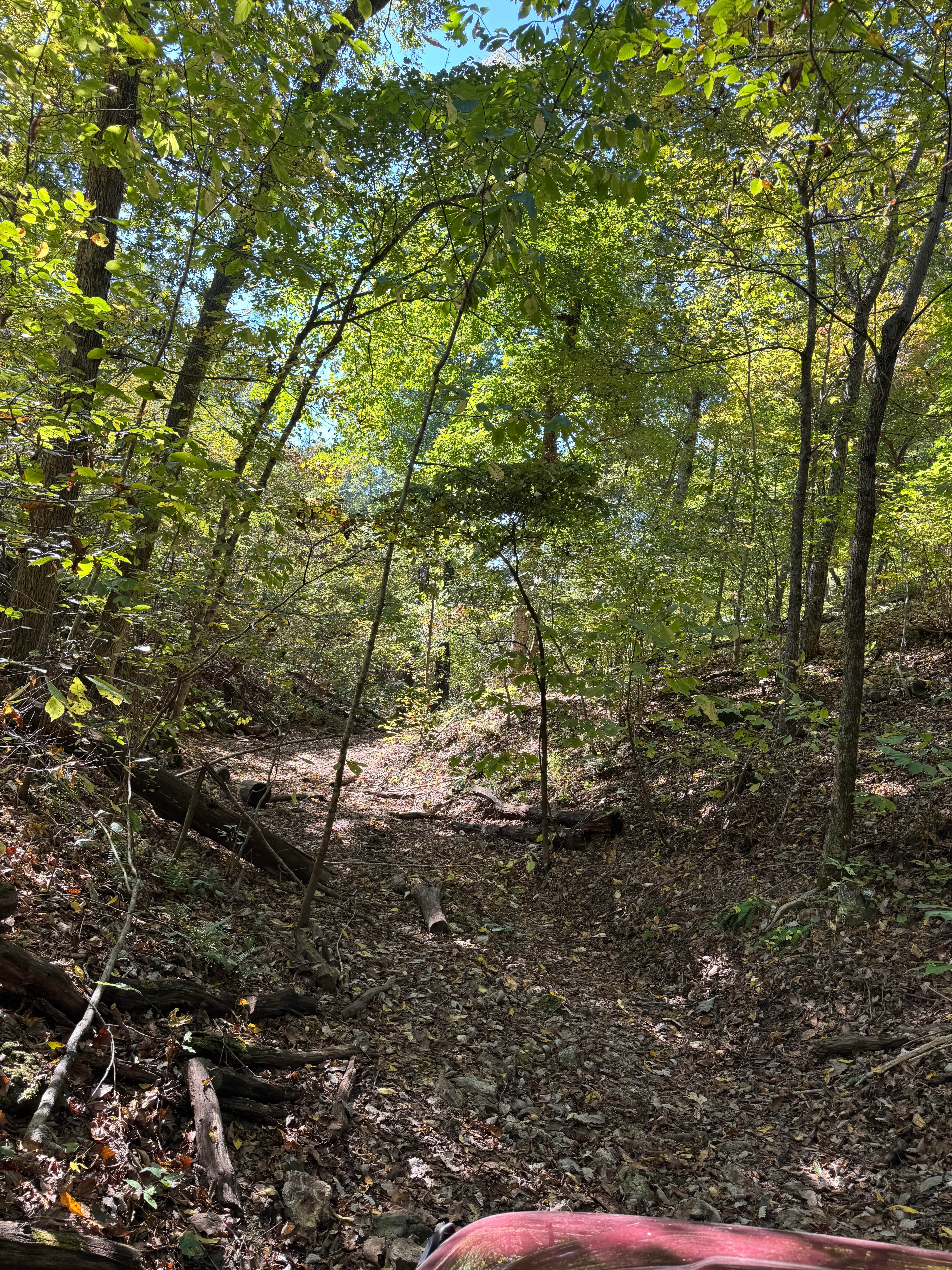
Bad Bottoms
Total Miles
0.2
Tech Rating
Moderate
Best Time
Spring, Summer, Fall, Winter
Learn more about Bad Decisions
Bad Decisions
Total Miles
0.1
Tech Rating
Difficult
Best Time
Spring, Summer, Fall, Winter
Learn more about Bald Road to Western Road
Bald Road to Western Road
Total Miles
13.3
Tech Rating
Easy
Best Time
Spring, Summer, Fall, Winter
Learn more about Bald Tower - FSR 148
Bald Tower - FSR 148
Total Miles
0.8
Tech Rating
Easy
Best Time
Spring, Summer, Fall, Winter
Learn more about Ball Tickler
Ball Tickler
Total Miles
0.2
Tech Rating
Easy
Best Time
Spring, Summer, Fall, Winter
Learn more about Barely Hung Trail
Barely Hung Trail
Total Miles
0.1
Tech Rating
Moderate
Best Time
Spring, Summer, Fall, Winter
Learn more about Bass River Scenic Route 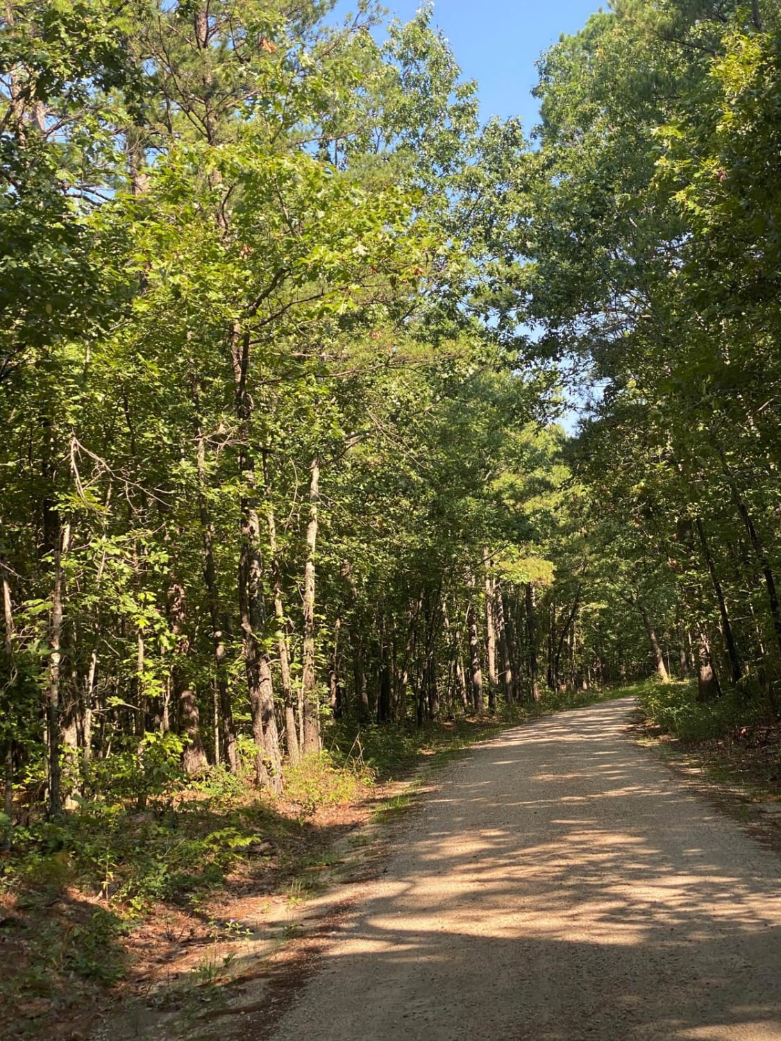
Bass River Scenic Route
Total Miles
14.7
Tech Rating
Easy
Best Time
Summer
Learn more about Bay Nothing Recreation Area 3140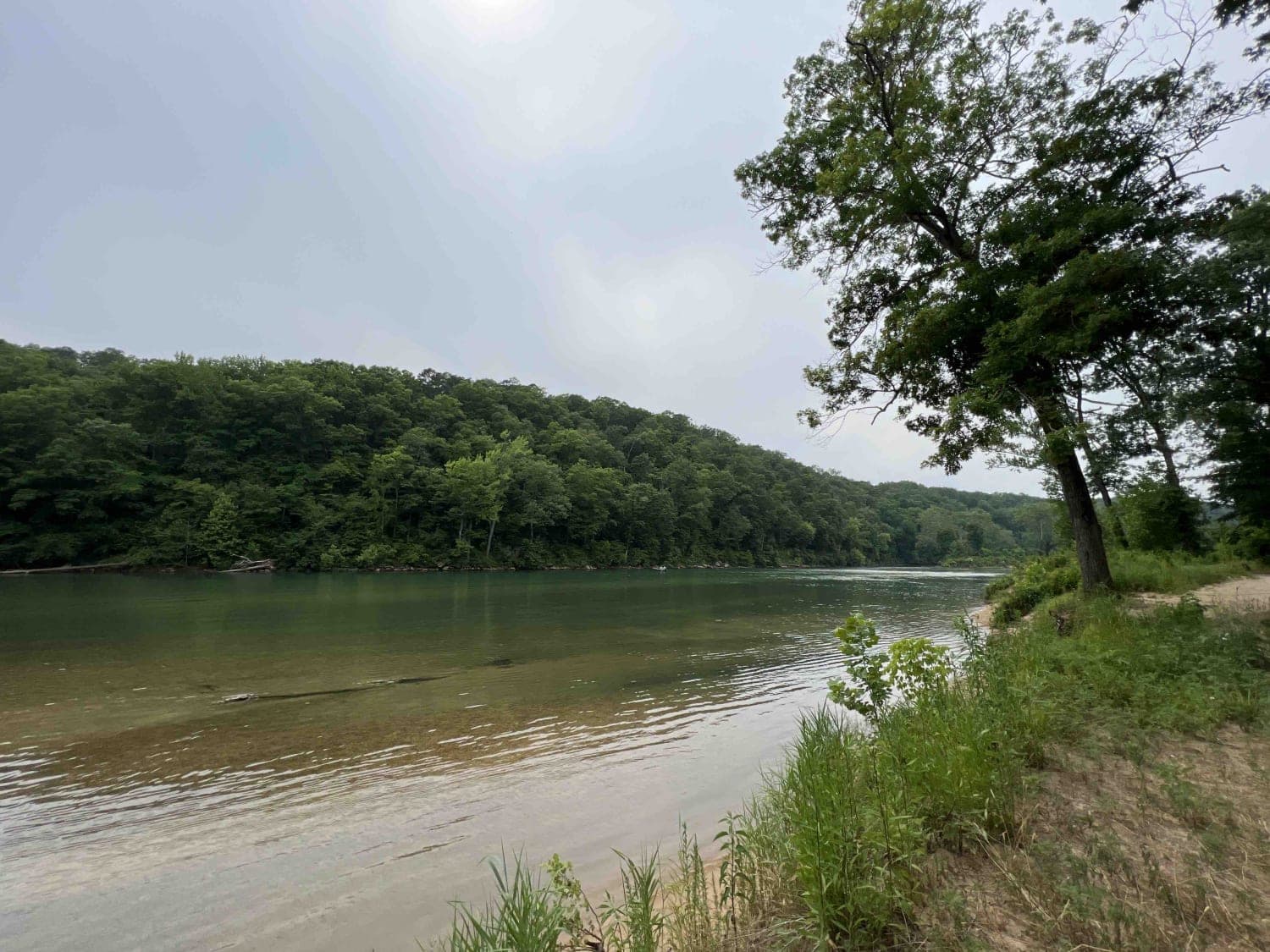
Bay Nothing Recreation Area 3140
Total Miles
4.3
Tech Rating
Easy
Best Time
Spring, Summer, Fall
Learn more about Bear Tick Ridge - FS 2459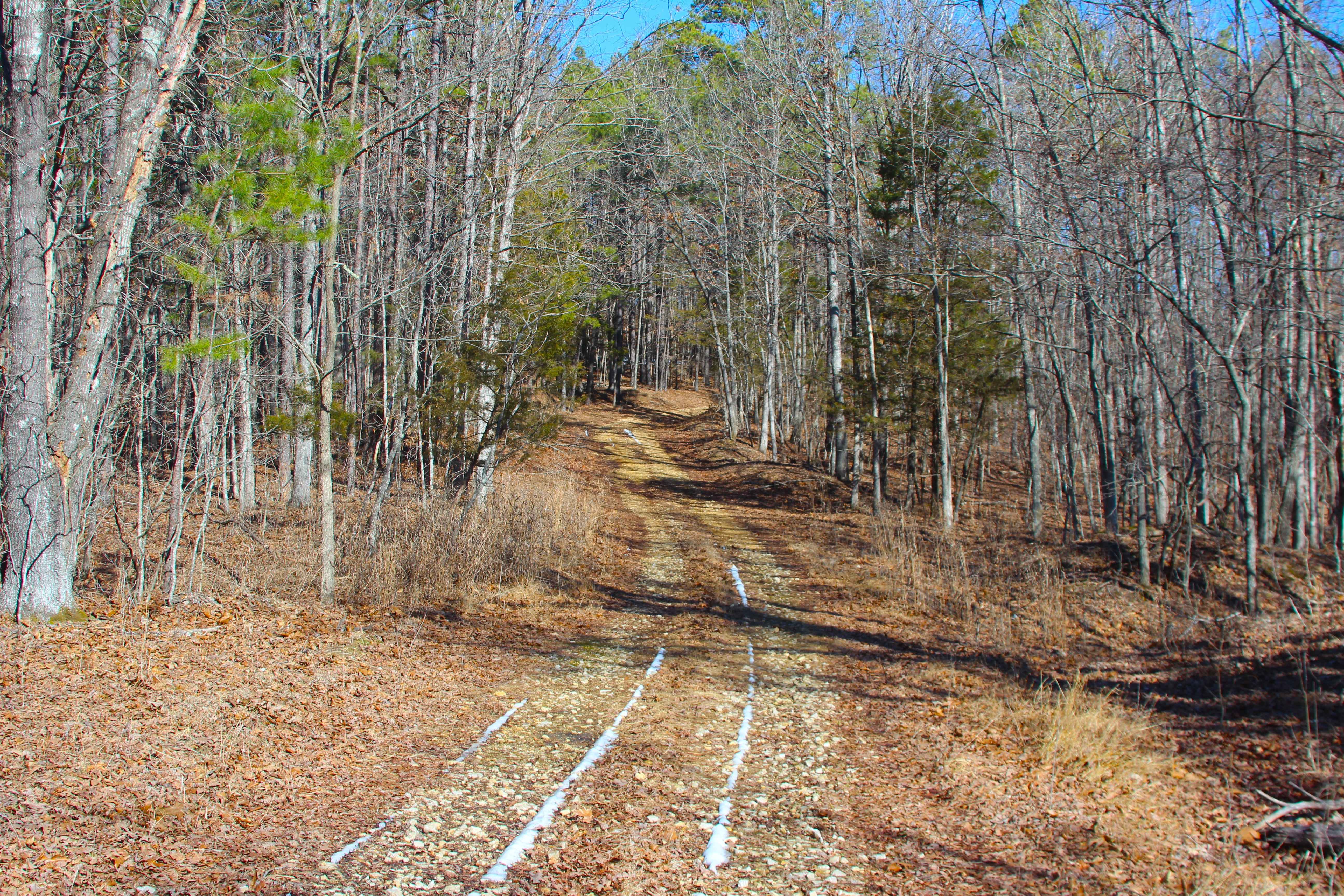
Bear Tick Ridge - FS 2459
Total Miles
1.0
Tech Rating
Easy
Best Time
Spring, Summer, Fall, Winter
Learn more about Beasley Hollow - FS 2594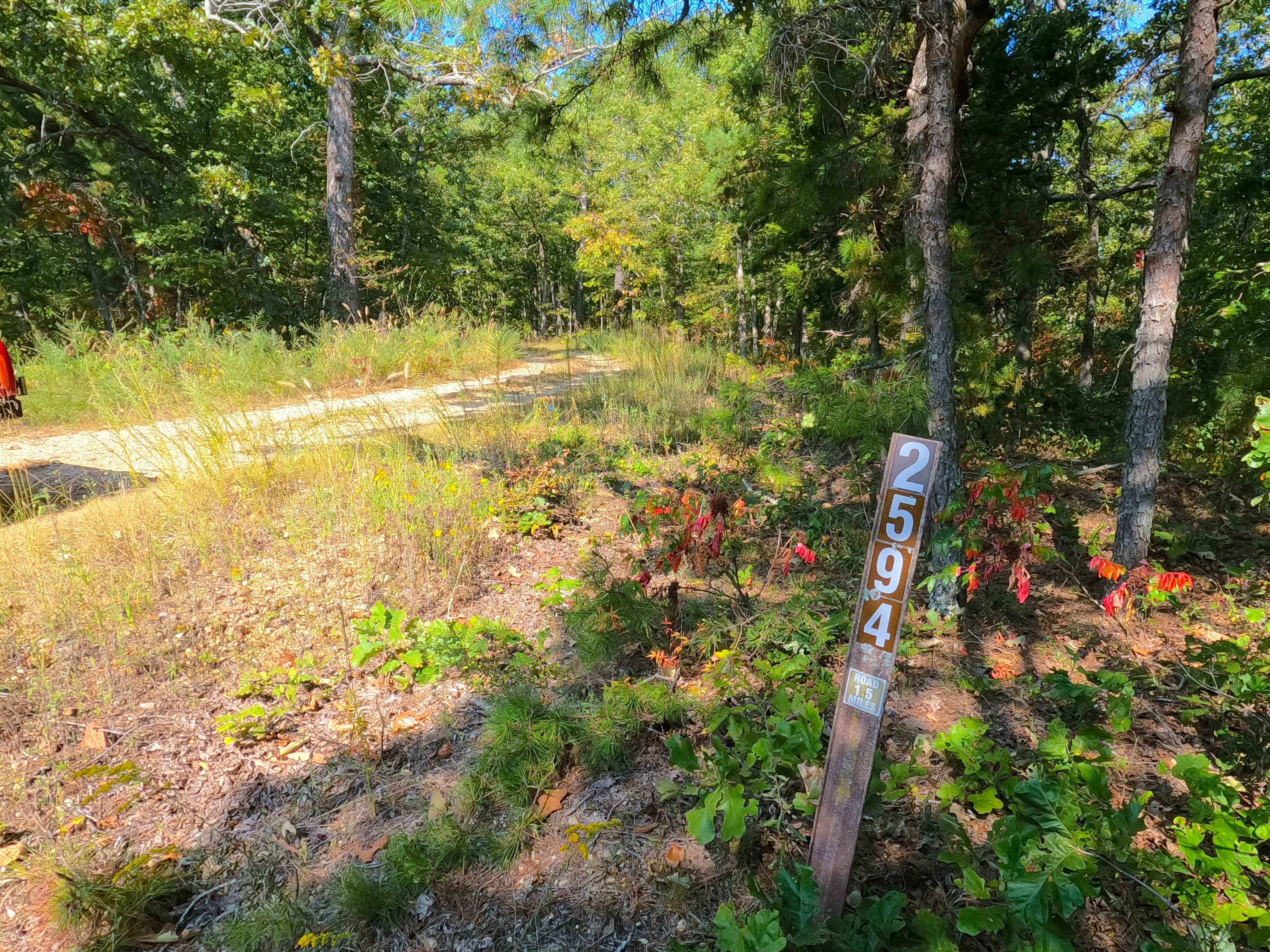
Beasley Hollow - FS 2594
Total Miles
1.6
Tech Rating
Easy
Best Time
Spring, Summer, Fall, Winter
Learn more about Bee Gum Ridge - CCR 209
Bee Gum Ridge - CCR 209
Total Miles
3.8
Tech Rating
Easy
Best Time
Summer, Spring, Fall, Winter
Learn more about Bee Ridge FSR 3844/3844C
Bee Ridge FSR 3844/3844C
Total Miles
2.5
Tech Rating
Easy
Best Time
Spring, Fall
Learn more about Bender Cutoff
Bender Cutoff
Total Miles
0.0
Tech Rating
Difficult
Best Time
Spring, Summer, Fall, Winter
Learn more about Bidwell FSR 2199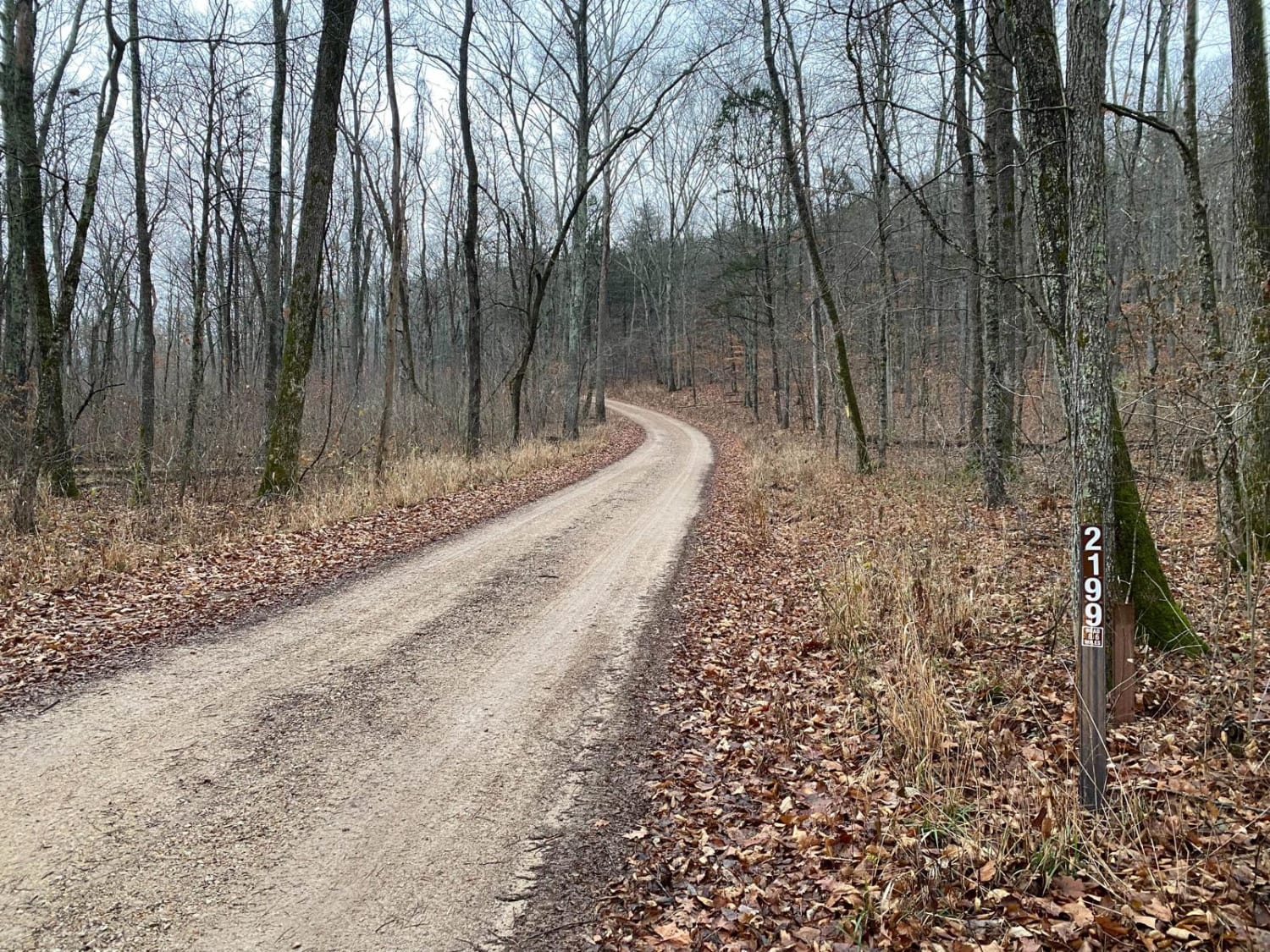
Bidwell FSR 2199
Total Miles
11.9
Tech Rating
Easy
Best Time
Spring, Fall
Learn more about Big Buck - FS 2526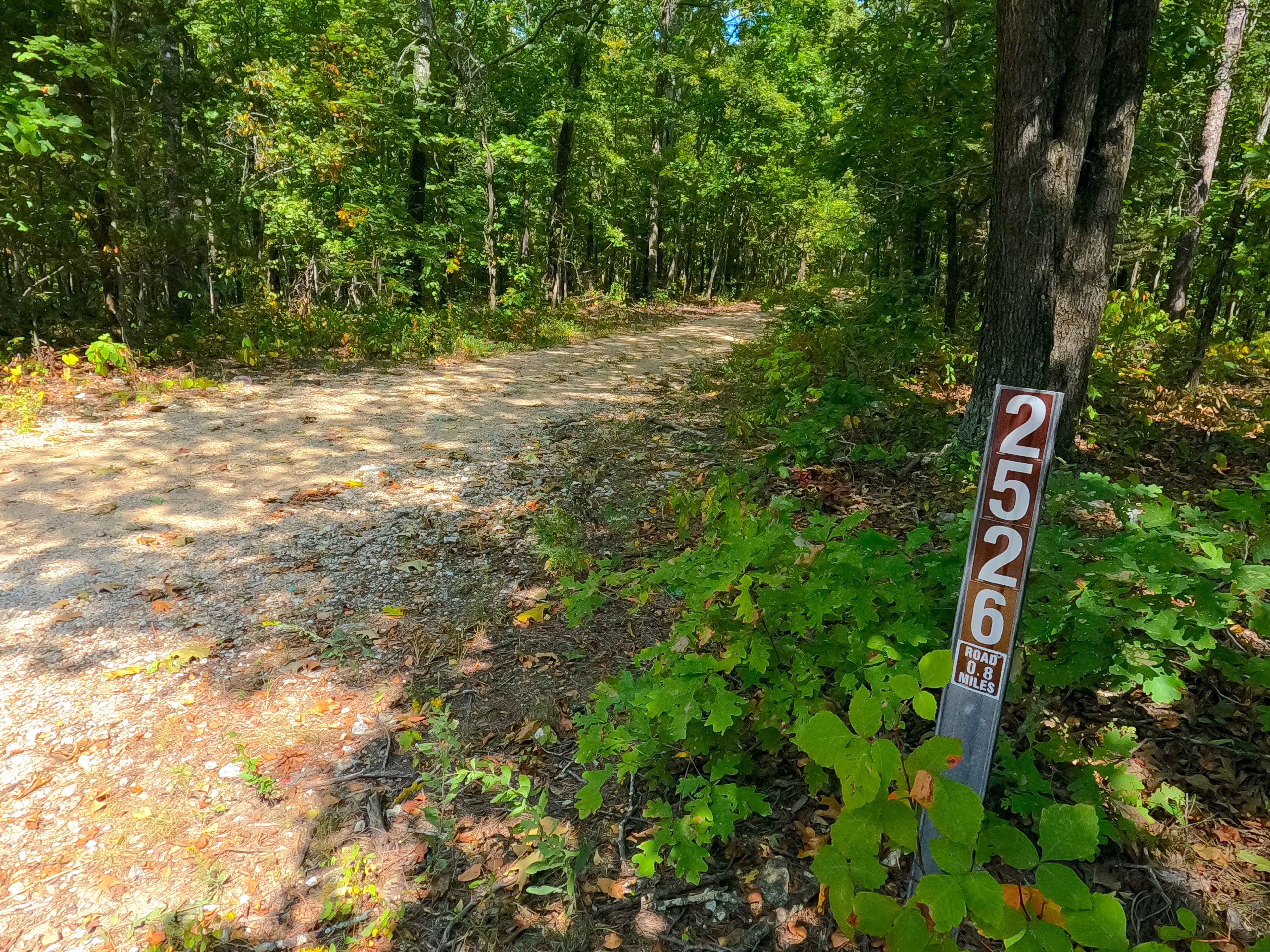
Big Buck - FS 2526
Total Miles
0.8
Tech Rating
Easy
Best Time
Spring, Summer, Fall, Winter
ATV trails in Missouri


Learn more about 4 of 5
4 of 5
Total Miles
0.0
Tech Rating
Difficult
Best Time
Spring, Summer, Fall, Winter
UTV/side-by-side trails in Missouri
Learn more about 4 of 5
4 of 5
Total Miles
0.0
Tech Rating
Difficult
Best Time
Spring, Summer, Fall, Winter
The onX Offroad Difference
onX Offroad combines trail photos, descriptions, difficulty ratings, width restrictions, seasonality, and more in a user-friendly interface. Available on all devices, with offline access and full compatibility with CarPlay and Android Auto. Discover what you’re missing today!