Off-Road Trails in Missouri
Discover off-road trails in Missouri
Learn more about Comanche Hollow
Comanche Hollow
Total Miles
0.3
Tech Rating
Easy
Best Time
Spring, Summer, Fall
Learn more about Commitment Hill Climb 1
Commitment Hill Climb 1
Total Miles
0.0
Tech Rating
Moderate
Best Time
Spring, Summer, Fall, Winter
Learn more about Commitment Hill Climb 2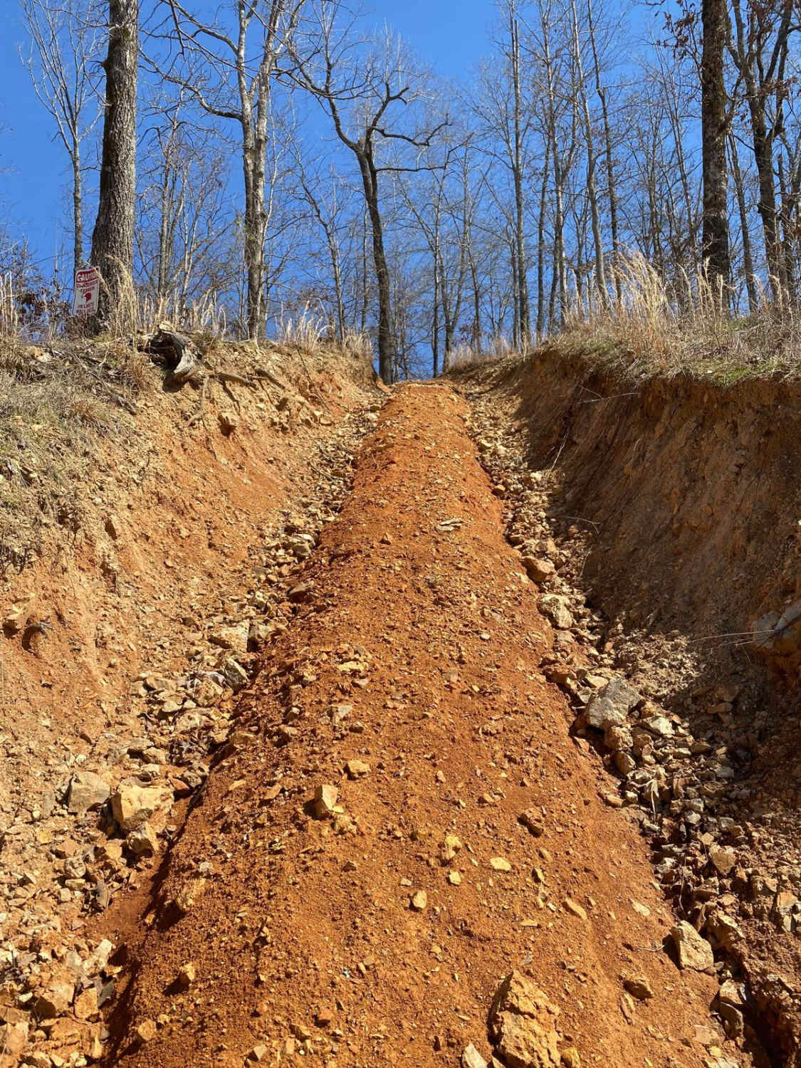
Commitment Hill Climb 2
Total Miles
0.0
Tech Rating
Easy
Best Time
Spring, Summer, Fall, Winter
Learn more about Commitment Hill Climb 3
Commitment Hill Climb 3
Total Miles
0.0
Tech Rating
Easy
Best Time
Spring, Fall, Winter, Summer
Learn more about Commitment Hill Climb 4
Commitment Hill Climb 4
Total Miles
0.0
Tech Rating
Easy
Best Time
Spring, Fall, Winter, Summer
Learn more about Commitment Hill Climb 5
Commitment Hill Climb 5
Total Miles
0.0
Tech Rating
Easy
Best Time
Spring, Summer, Fall, Winter
Learn more about Commitment Hill Climb 6
Commitment Hill Climb 6
Total Miles
0.0
Tech Rating
Moderate
Best Time
Summer, Fall, Winter, Spring
Learn more about Commitment Hill Climb 7
Commitment Hill Climb 7
Total Miles
0.0
Tech Rating
Moderate
Best Time
Spring, Summer, Fall, Winter
Learn more about Commitment Hill Climb 8
Commitment Hill Climb 8
Total Miles
0.0
Tech Rating
Easy
Best Time
Spring, Summer, Fall, Winter
Learn more about Commitment Hill Climb Extra Credit
Commitment Hill Climb Extra Credit
Total Miles
0.1
Tech Rating
Moderate
Best Time
Spring, Summer, Fall, Winter
Learn more about Compton - FS 2649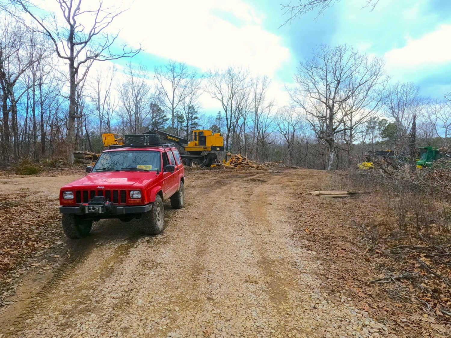
Compton - FS 2649
Total Miles
1.1
Tech Rating
Easy
Best Time
Spring, Summer, Fall, Winter
Learn more about Connector
Connector
Total Miles
0.2
Tech Rating
Easy
Best Time
Spring, Summer, Fall, Winter
Learn more about Cooks Branch - FS 2646
Cooks Branch - FS 2646
Total Miles
1.9
Tech Rating
Easy
Best Time
Spring, Summer, Fall, Winter
Learn more about Cooks Spring Road
Cooks Spring Road
Total Miles
2.1
Tech Rating
Easy
Best Time
Spring, Summer, Fall, Winter
Learn more about Coon Hollow - FS 2482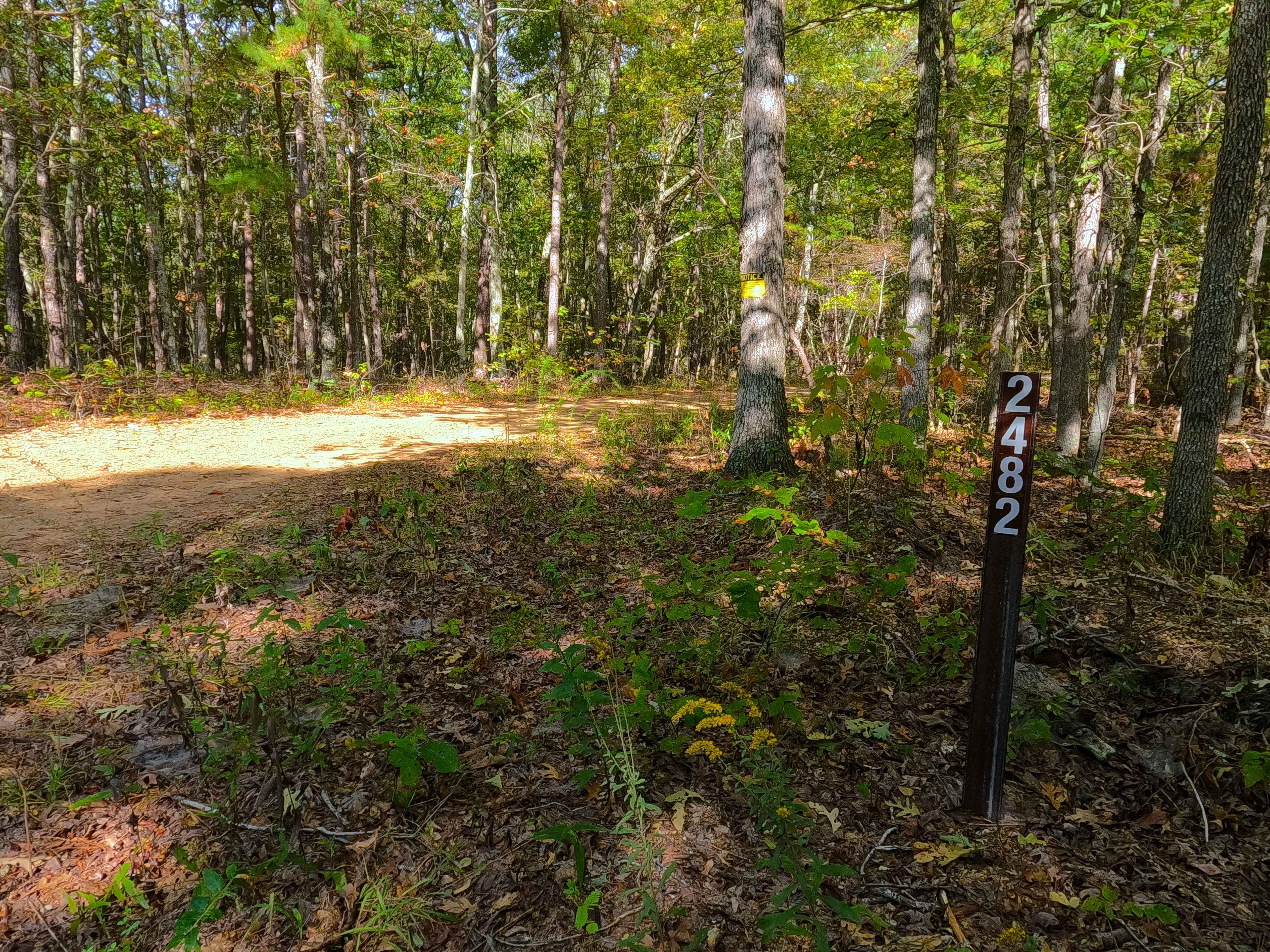
Coon Hollow - FS 2482
Total Miles
0.8
Tech Rating
Easy
Best Time
Spring, Summer, Fall, Winter
Learn more about Coot Tower - SCR 216
Coot Tower - SCR 216
Total Miles
1.3
Tech Rating
Easy
Best Time
Spring, Summer, Fall, Winter
Learn more about Copperhead 295
Copperhead 295
Total Miles
0.2
Tech Rating
Difficult
Best Time
Spring, Summer, Fall, Winter
Learn more about Corner - FSR 2113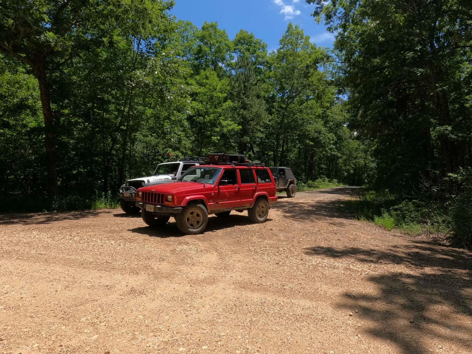
Corner - FSR 2113
Total Miles
3.7
Tech Rating
Easy
Best Time
Spring, Summer, Fall, Winter
Learn more about Corner Pocket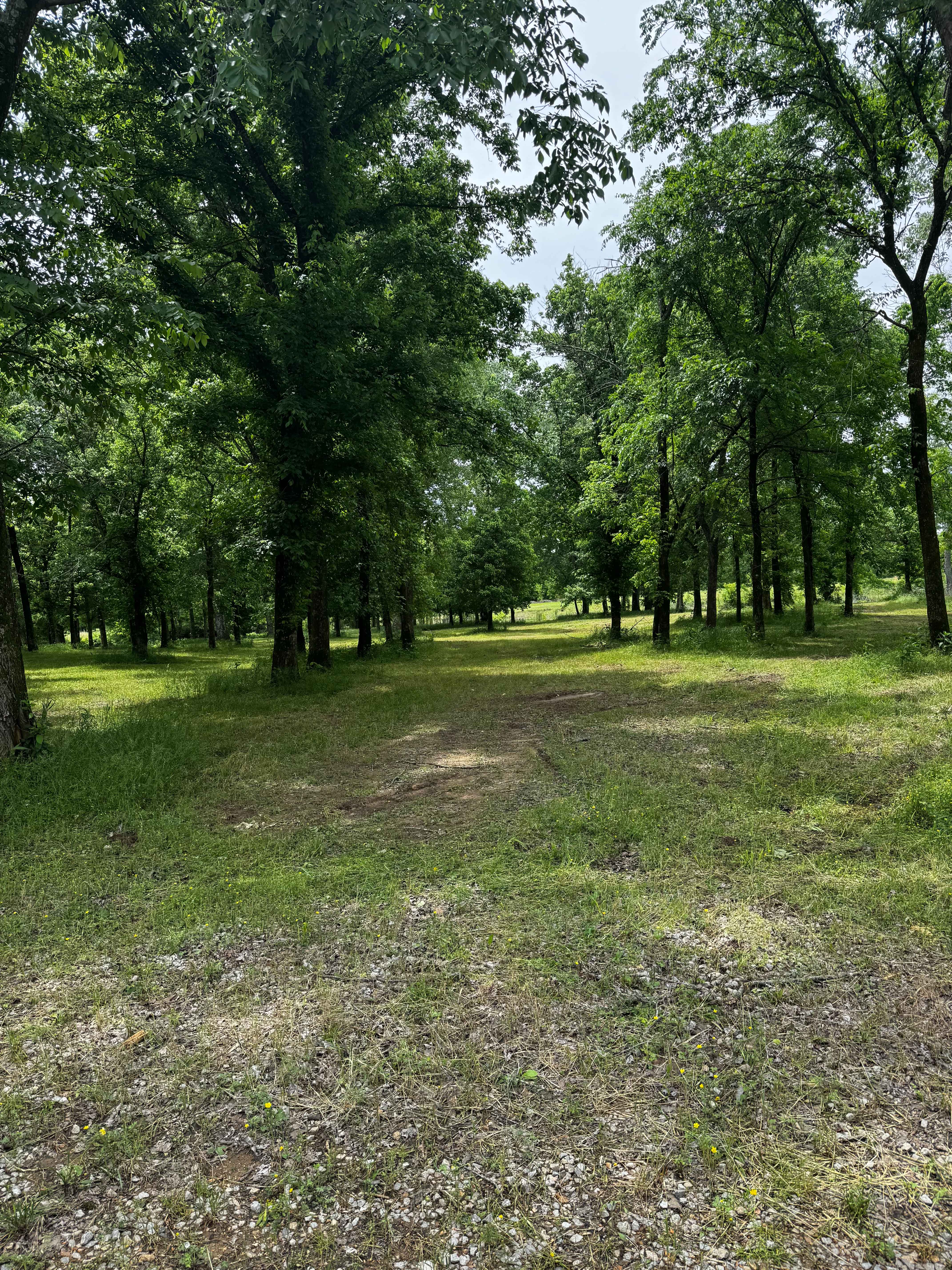
Corner Pocket
Total Miles
0.1
Tech Rating
Easy
Best Time
Spring, Summer, Fall, Winter
ATV trails in Missouri


Learn more about 4 of 5
4 of 5
Total Miles
0.0
Tech Rating
Difficult
Best Time
Spring, Summer, Fall, Winter
UTV/side-by-side trails in Missouri
Learn more about 4 of 5
4 of 5
Total Miles
0.0
Tech Rating
Difficult
Best Time
Spring, Summer, Fall, Winter
The onX Offroad Difference
onX Offroad combines trail photos, descriptions, difficulty ratings, width restrictions, seasonality, and more in a user-friendly interface. Available on all devices, with offline access and full compatibility with CarPlay and Android Auto. Discover what you’re missing today!