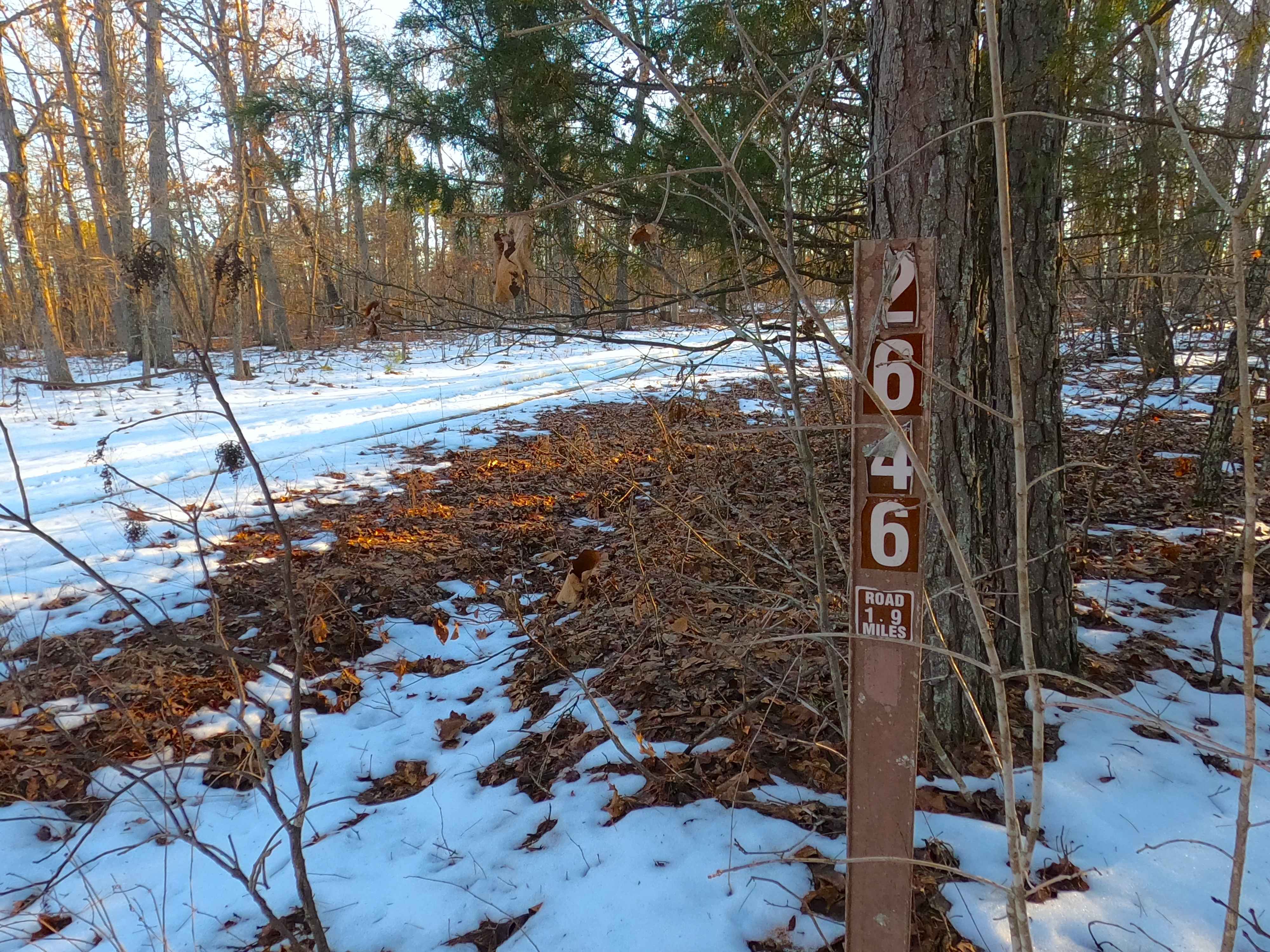
Cooks Branch - FS 2646
Total Miles
1.9
Technical Rating
Best Time
Spring, Summer, Fall, Winter
Trail Type
Full-Width Road
Accessible By
Trail Overview
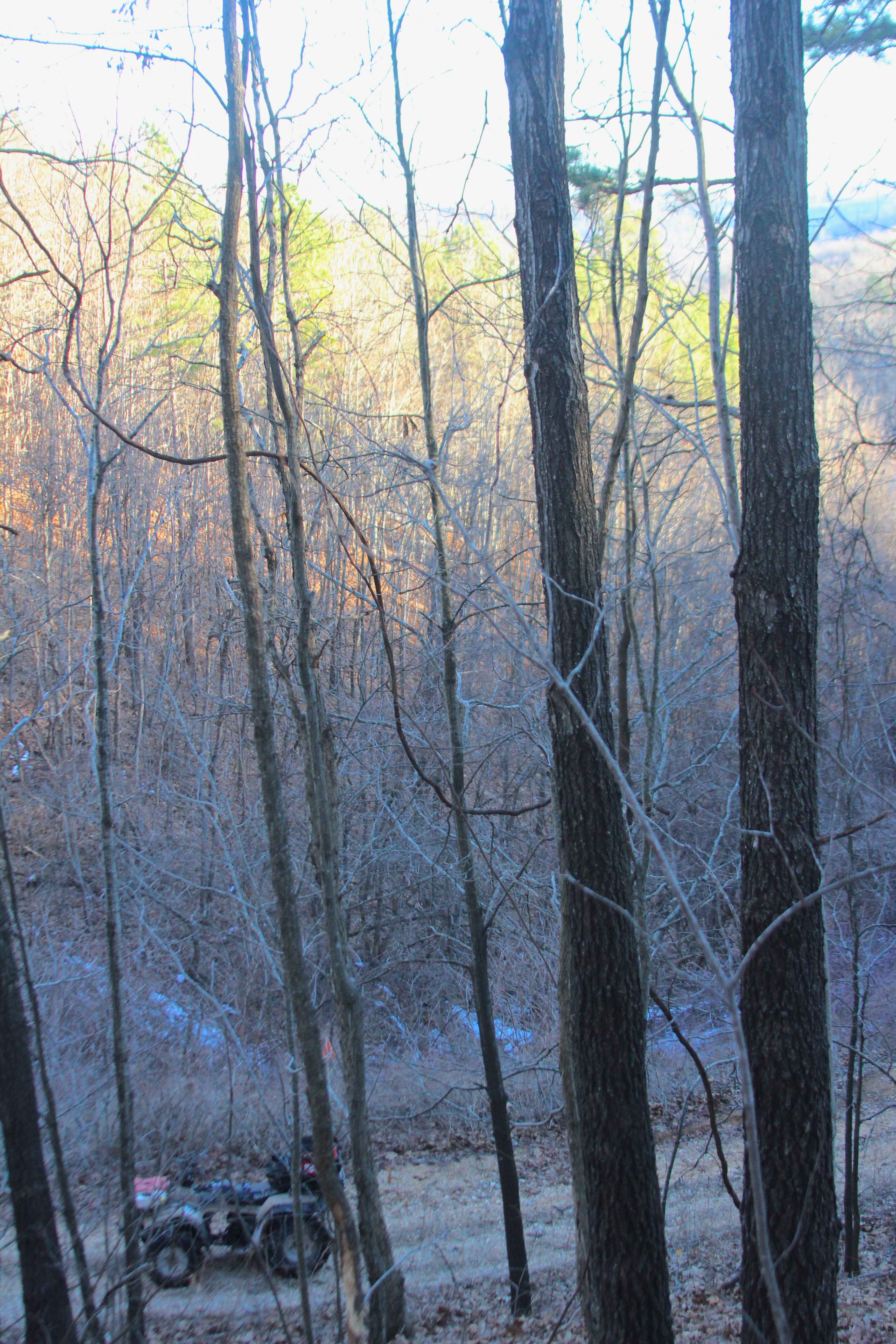
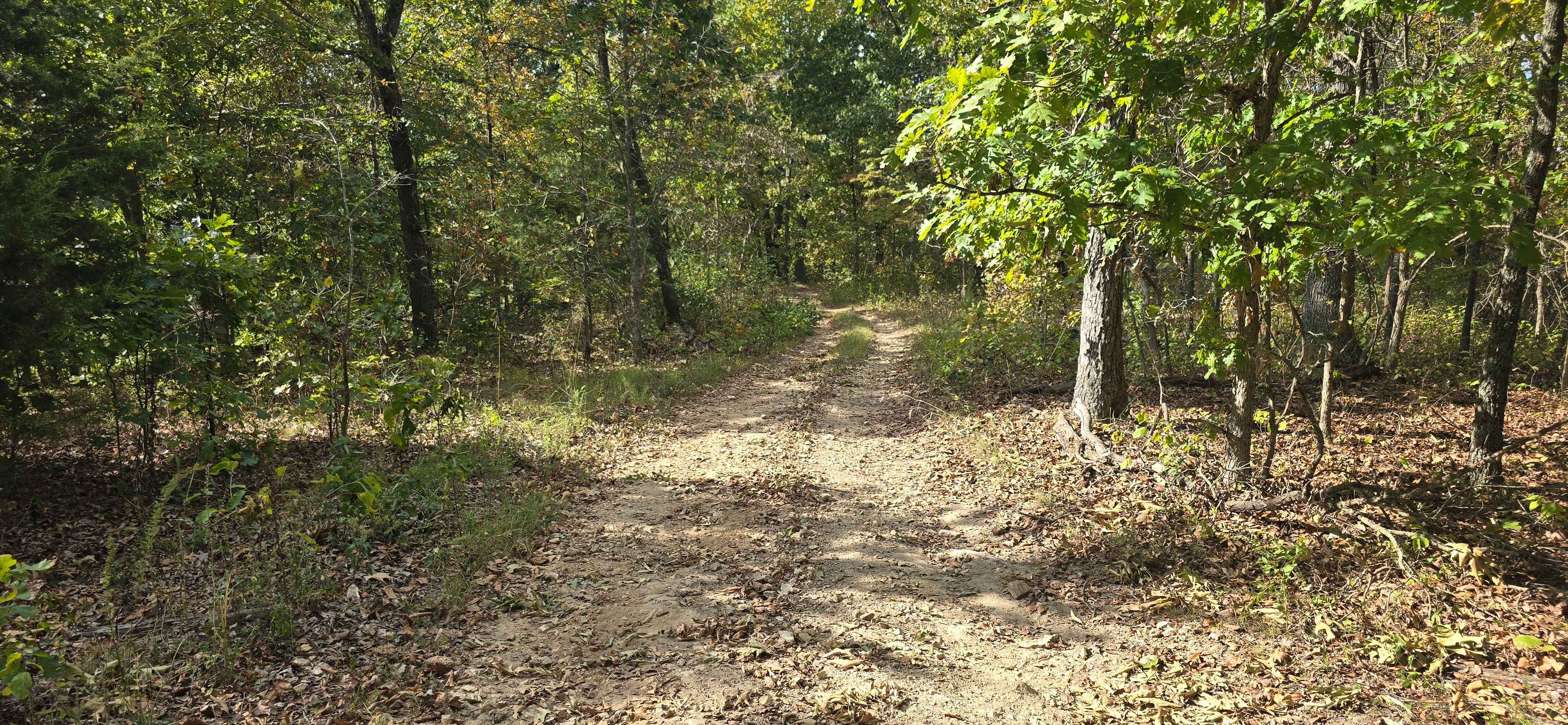
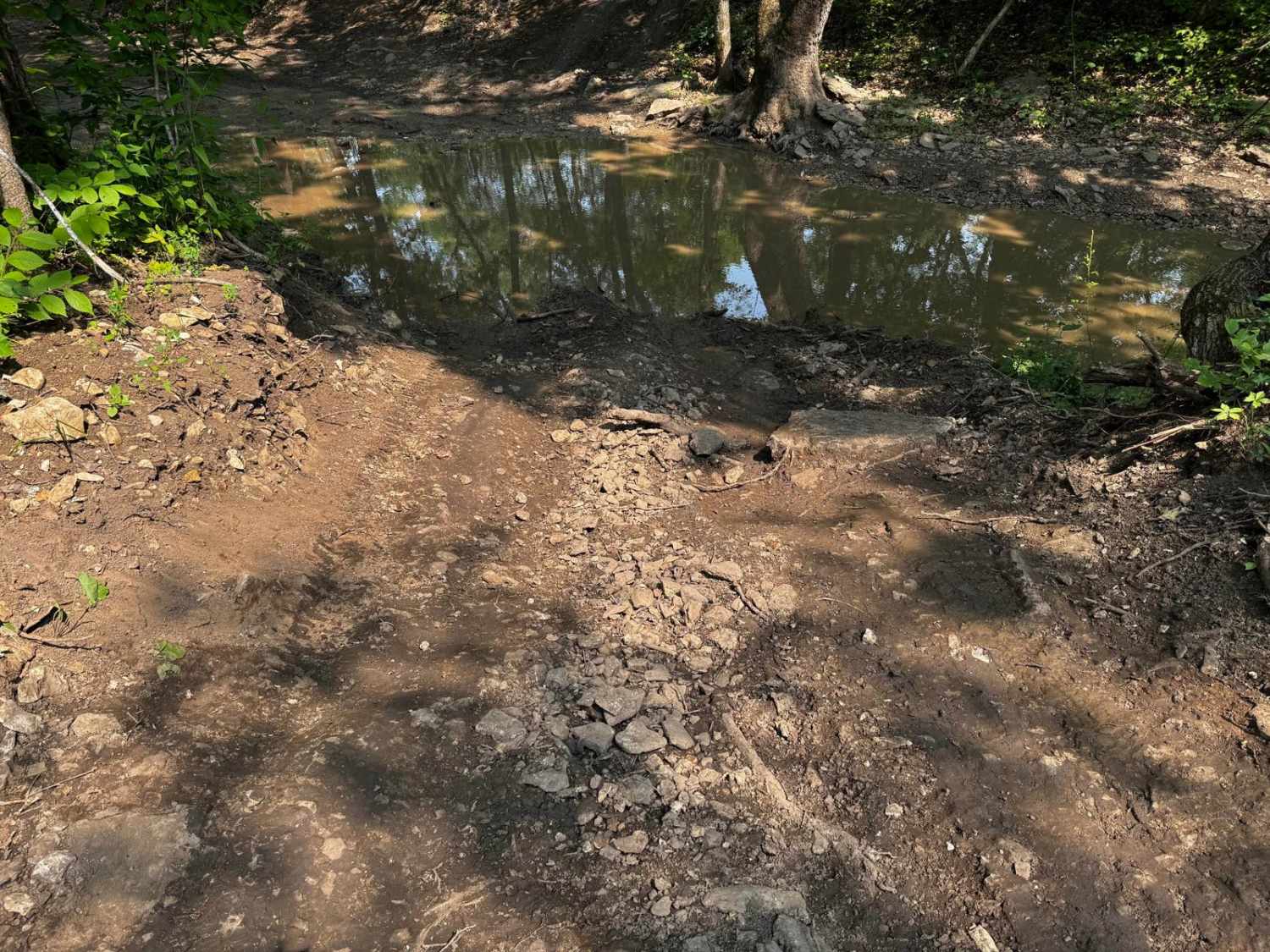
Cooks Branch (FS 2646) is a gravel and dirt terrain Forest Service Road within the Salem Unit of Mark Twain National Forest, open to all vehicles complying with Reynolds County and Missouri state laws. From the beginning where the FS 2646 spurs off the Karkaghne Scenic Drive (or Reynolds County Road 907), the base terrain is made up of coarse natural gravel, with the features a small switchback with a great view, small erosion ruts, natural cobbles scattered along the path, natural rock poking out at the surface, splash level water collection spots, with the track following along the ridge top spines, through beautiful tree lines, until it meets the safe turnaround at 37.49941, -91.03991, this is where users must turn around and head back the way they entered, as this is the legal end of the MVUM motorized route. The road also connects to the 50" and under SB 3 ATV trail near the southern end of the track at 37.50213, -91.04025, where the SB 3 goes to the east.
Photos of Cooks Branch - FS 2646
Difficulty
FS 2646 is given a base rating of 2/10 for having a natural coarse gravel, mild graded hills, mild forms of active erosion and ruts, loose 4 to 10-inch cobbles lying in the road, small whoops, and natural rock poking out at the surface. Difficulty can increase, from heavy use and a lack of maintenance, large 12-inch-plus fallen trees blocking the trail, in wet or rainy conditions, inclement weather, or from damage sustained from erosion.
Status Reports
Cooks Branch - FS 2646 can be accessed by the following ride types:
- High-Clearance 4x4
- SUV
- SxS (60")
- ATV (50")
- Dirt Bike
Cooks Branch - FS 2646 Map
Popular Trails

The onX Offroad Difference
onX Offroad combines trail photos, descriptions, difficulty ratings, width restrictions, seasonality, and more in a user-friendly interface. Available on all devices, with offline access and full compatibility with CarPlay and Android Auto. Discover what you’re missing today!