Off-Road Trails in Missouri
Discover off-road trails in Missouri
Learn more about Bull Knot - FS 139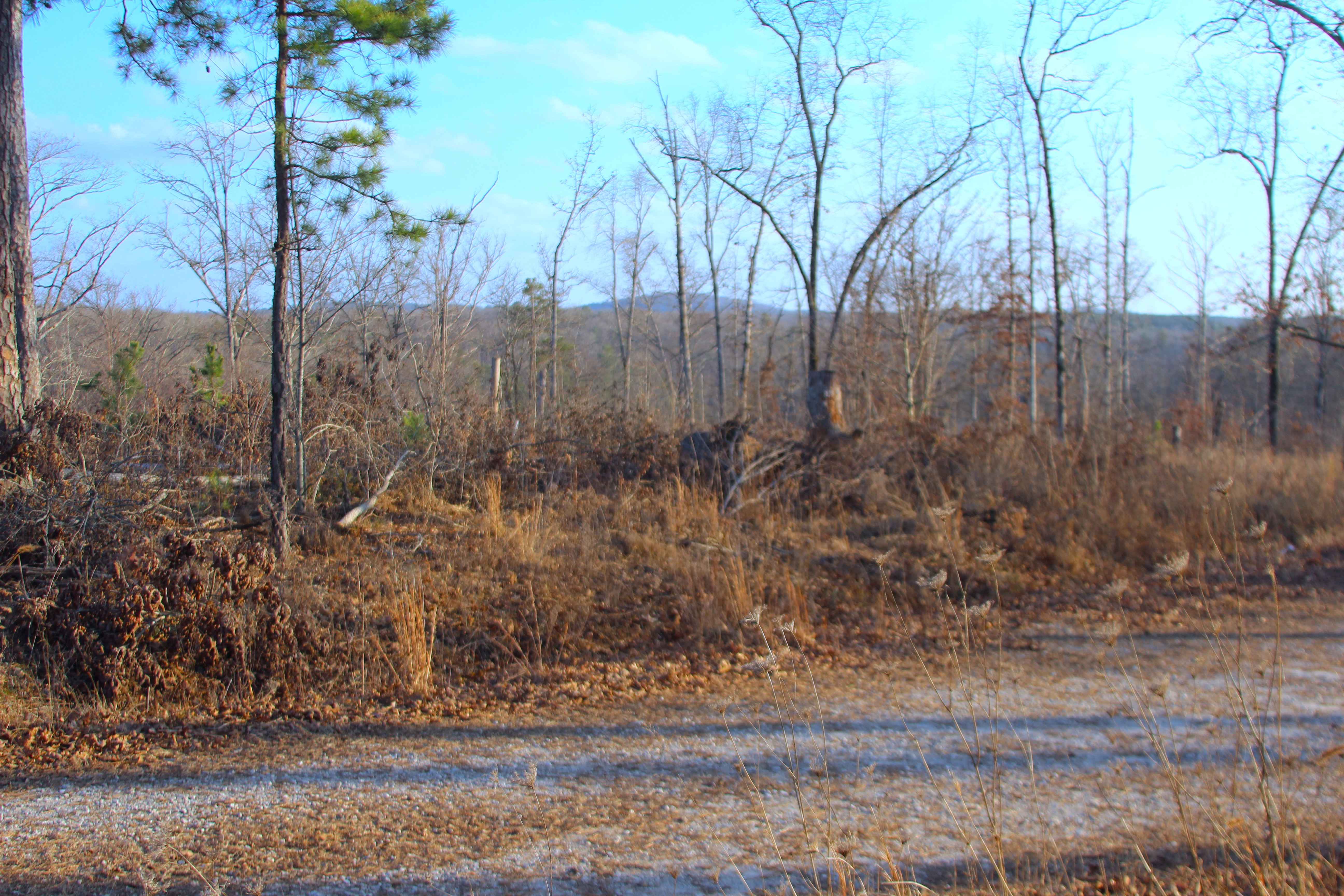
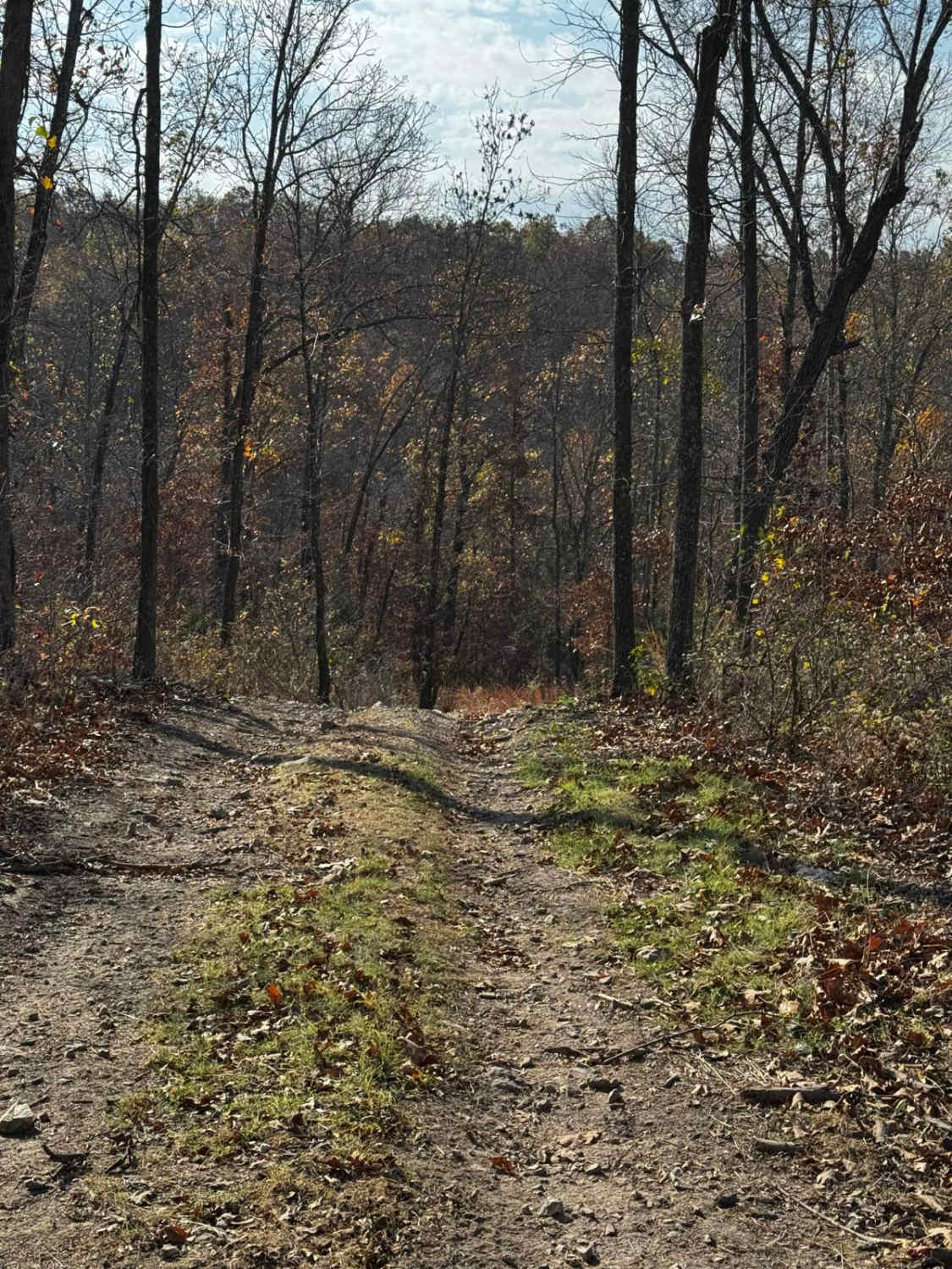
Bull Knot - FS 139
Total Miles
0.9
Tech Rating
Easy
Best Time
Spring, Summer, Fall, Winter
Learn more about Burns Mountain - FS 2136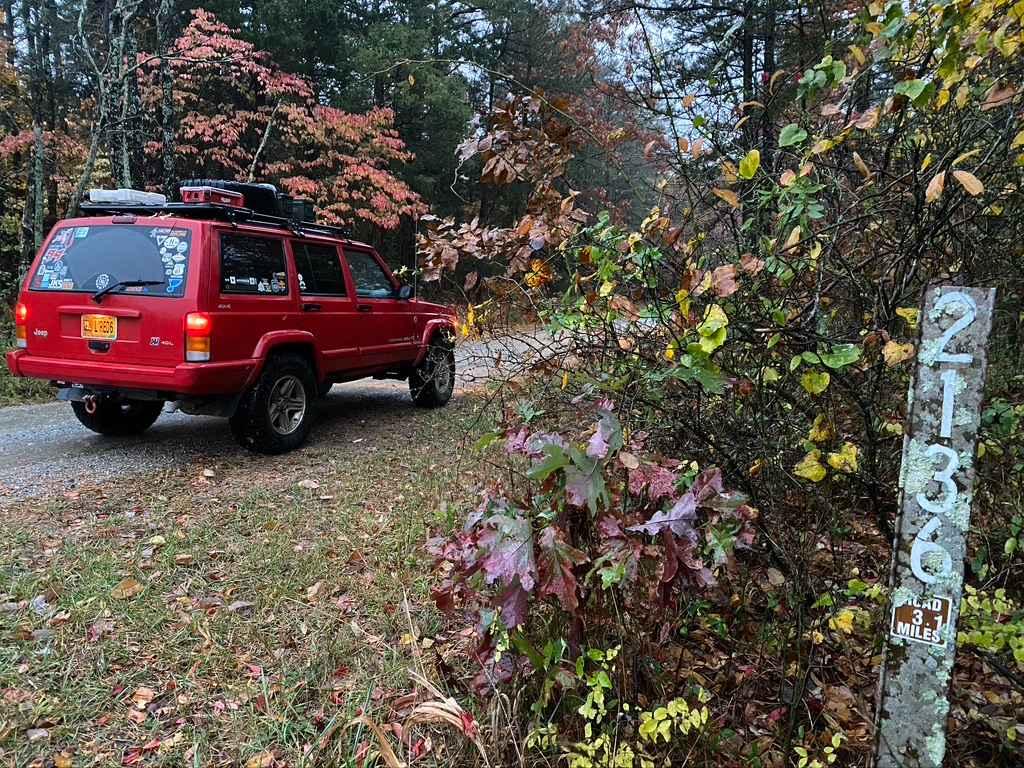
Burns Mountain - FS 2136
Total Miles
1.7
Tech Rating
Easy
Best Time
Spring, Summer, Fall, Winter
Learn more about Butler Hollow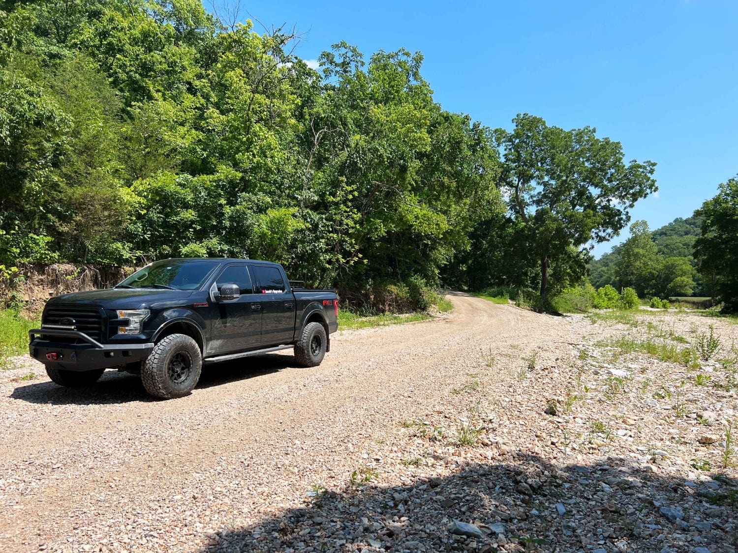
Butler Hollow
Total Miles
9.4
Tech Rating
Easy
Best Time
Spring, Summer, Fall, Winter
Learn more about Buzzard Ridge - FS 2677
Buzzard Ridge - FS 2677
Total Miles
1.3
Tech Rating
Easy
Best Time
Spring, Summer, Fall, Winter
Learn more about Buzzard Ridge Spur A - FS 2677A
Buzzard Ridge Spur A - FS 2677A
Total Miles
1.0
Tech Rating
Easy
Best Time
Spring, Summer, Winter, Fall
Learn more about Cabin Access Trail 
Cabin Access Trail
Total Miles
0.1
Tech Rating
Easy
Best Time
Spring, Summer, Fall, Winter
Learn more about Cakewalk
Cakewalk
Total Miles
0.1
Tech Rating
Difficult
Best Time
Spring, Summer, Fall, Winter
Learn more about Camp Loop 2
Camp Loop 2
Total Miles
0.3
Tech Rating
Easy
Best Time
Spring, Summer, Fall, Winter
Learn more about Camp Loop 4
Camp Loop 4
Total Miles
0.6
Tech Rating
Easy
Best Time
Spring, Summer, Fall, Winter
Learn more about Camp Loop 5
Camp Loop 5
Total Miles
0.4
Tech Rating
Easy
Best Time
Spring, Summer, Fall, Winter
Learn more about Camp Loop 6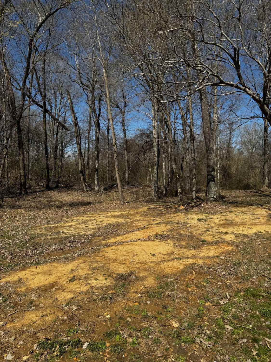
Camp Loop 6
Total Miles
0.2
Tech Rating
Easy
Best Time
Spring, Summer, Fall, Winter
Learn more about Camp Loop 7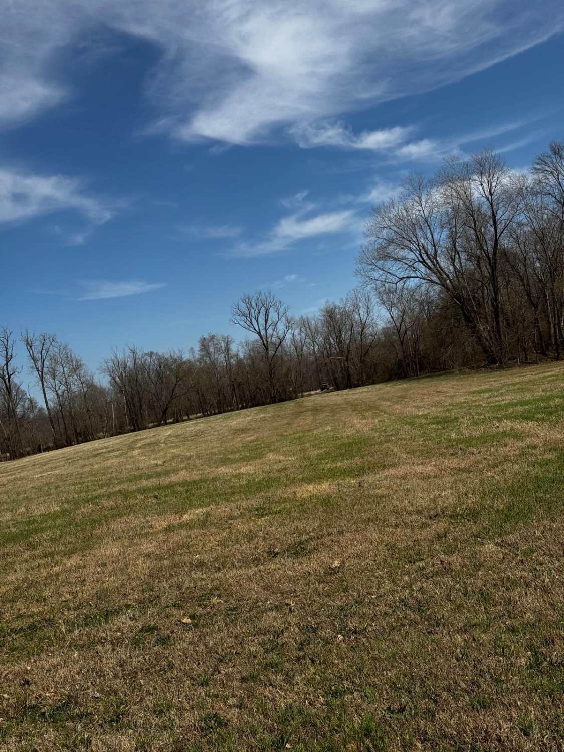
Camp Loop 7
Total Miles
0.4
Tech Rating
Easy
Best Time
Summer, Fall, Spring, Winter
Learn more about Camp Roy - FSR 3208
Camp Roy - FSR 3208
Total Miles
3.1
Tech Rating
Easy
Best Time
Spring, Winter, Fall, Summer
Learn more about Campground Trail
Campground Trail
Total Miles
0.4
Tech Rating
Easy
Best Time
Spring, Summer, Fall, Winter
Learn more about Cape Gir. Co 521 / 520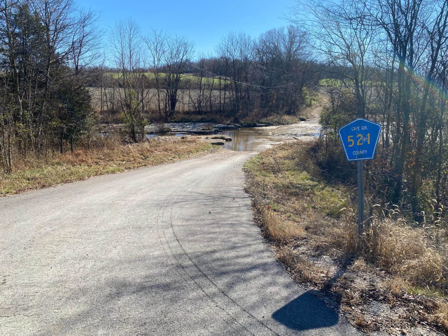
Cape Gir. Co 521 / 520
Total Miles
3.6
Tech Rating
Easy
Best Time
Spring, Summer, Fall
Learn more about Captain Hook
Captain Hook
Total Miles
0.1
Tech Rating
Easy
Best Time
Spring, Summer, Fall, Winter
Learn more about Castor River CA Camp Road
Castor River CA Camp Road
Total Miles
1.1
Tech Rating
Easy
Best Time
Winter, Summer, Spring, Fall
Learn more about Castor River Shut-Ins Road
Castor River Shut-Ins Road
Total Miles
1.5
Tech Rating
Easy
Best Time
Spring, Summer, Fall, Winter
ATV trails in Missouri


Learn more about 4 of 5
4 of 5
Total Miles
0.0
Tech Rating
Difficult
Best Time
Spring, Summer, Fall, Winter
UTV/side-by-side trails in Missouri
Learn more about 4 of 5
4 of 5
Total Miles
0.0
Tech Rating
Difficult
Best Time
Spring, Summer, Fall, Winter
The onX Offroad Difference
onX Offroad combines trail photos, descriptions, difficulty ratings, width restrictions, seasonality, and more in a user-friendly interface. Available on all devices, with offline access and full compatibility with CarPlay and Android Auto. Discover what you’re missing today!