Off-Road Trails in Missouri
Discover off-road trails in Missouri
Learn more about Boulder Dash 425
Boulder Dash 425
Total Miles
0.3
Tech Rating
Difficult
Best Time
Spring, Summer, Fall, Winter
Learn more about Bouncing Buggies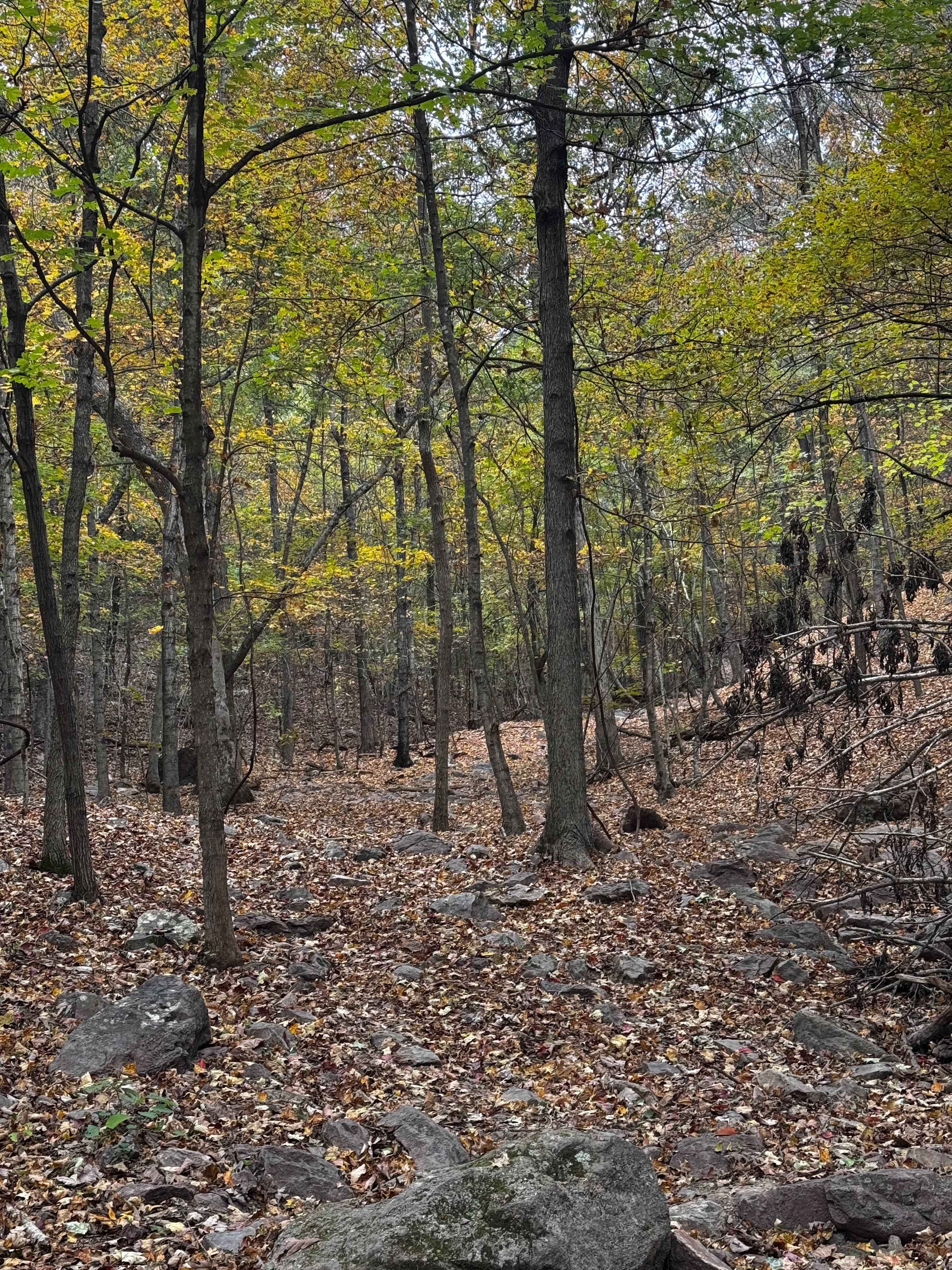
Bouncing Buggies
Total Miles
0.2
Tech Rating
Difficult
Best Time
Spring, Summer, Fall, Winter
Learn more about Bounty Hill 93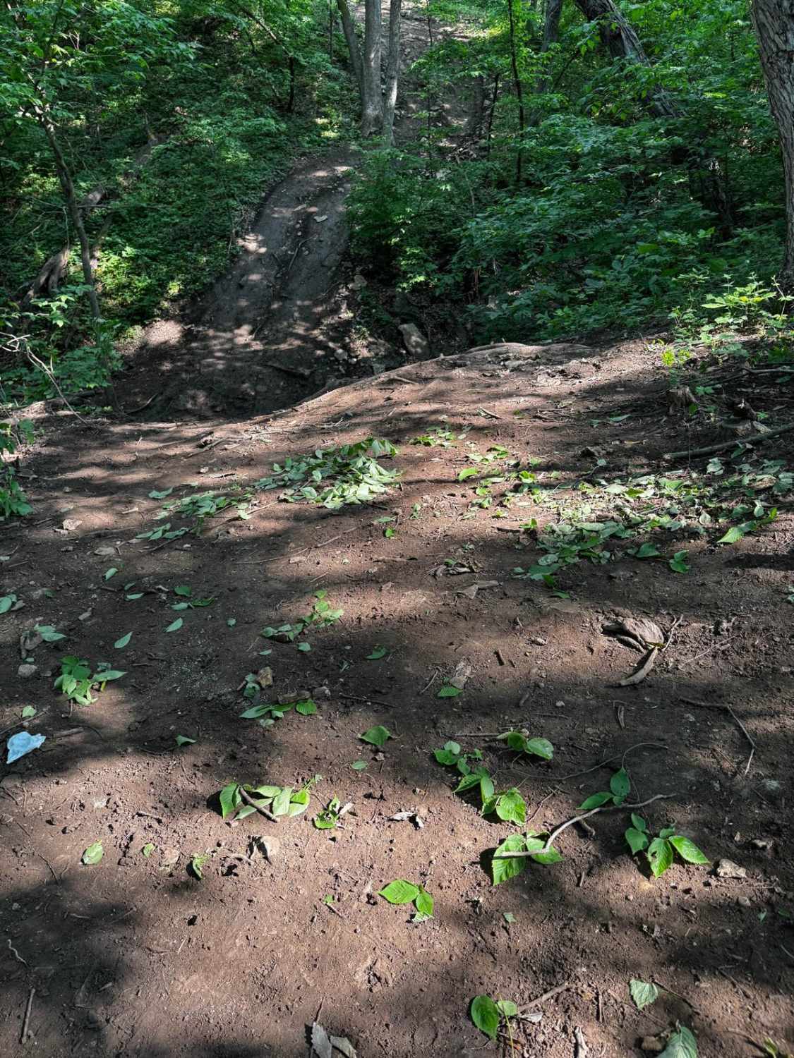
Bounty Hill 93
Total Miles
0.0
Tech Rating
Extreme
Best Time
Spring, Summer, Fall
Learn more about Bounty Hill Access
Bounty Hill Access
Total Miles
0.2
Tech Rating
Easy
Best Time
Spring, Summer, Winter
Learn more about Bounty Hole Cut Thru
Bounty Hole Cut Thru
Total Miles
0.2
Tech Rating
Easy
Best Time
Spring, Summer, Fall, Winter
Learn more about Bounty Hole Loop
Bounty Hole Loop
Total Miles
0.4
Tech Rating
Easy
Best Time
Spring, Summer, Fall, Winter
Learn more about Bounty Hole Side Piece
Bounty Hole Side Piece
Total Miles
0.2
Tech Rating
Easy
Best Time
Spring, Summer, Fall, Winter
Learn more about Brazil Road - WCR 657
Brazil Road - WCR 657
Total Miles
6.3
Tech Rating
Easy
Best Time
Spring, Summer, Fall, Winter
Learn more about Break Time 164
Break Time 164
Total Miles
0.2
Tech Rating
Difficult
Best Time
Spring, Summer, Fall
Learn more about Brett's Cherry
Brett's Cherry
Total Miles
0.1
Tech Rating
Easy
Best Time
Spring, Summer, Fall, Winter
Learn more about Brixey Hill
Brixey Hill
Total Miles
0.2
Tech Rating
Moderate
Best Time
Spring, Summer, Fall
Learn more about Brixey Road
Brixey Road
Total Miles
0.8
Tech Rating
Moderate
Best Time
Spring, Summer, Fall
Learn more about Brush Creek Road
Brush Creek Road
Total Miles
4.5
Tech Rating
Easy
Best Time
Spring, Fall, Winter, Summer
Learn more about Brushy Ridge Spur A - FSR 606A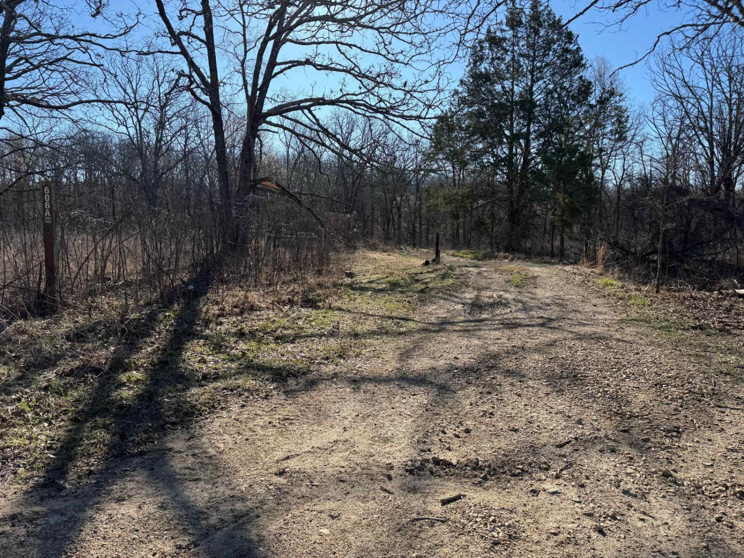
Brushy Ridge Spur A - FSR 606A
Total Miles
2.0
Tech Rating
Moderate
Best Time
Spring, Summer, Fall, Winter
Learn more about Brushy Ridge Spur B - FSR 606B
Brushy Ridge Spur B - FSR 606B
Total Miles
0.8
Tech Rating
Easy
Best Time
Spring, Summer, Fall, Winter
Learn more about Brushy Ridge Spur D - FRS 606D
Brushy Ridge Spur D - FRS 606D
Total Miles
0.3
Tech Rating
Easy
Best Time
Spring, Summer, Fall, Winter
Learn more about Buick Truck Trail 2231
Buick Truck Trail 2231
Total Miles
8.1
Tech Rating
Easy
Best Time
Spring, Summer, Fall
ATV trails in Missouri


Learn more about 4 of 5
4 of 5
Total Miles
0.0
Tech Rating
Difficult
Best Time
Spring, Summer, Fall, Winter
UTV/side-by-side trails in Missouri
Learn more about 4 of 5
4 of 5
Total Miles
0.0
Tech Rating
Difficult
Best Time
Spring, Summer, Fall, Winter
The onX Offroad Difference
onX Offroad combines trail photos, descriptions, difficulty ratings, width restrictions, seasonality, and more in a user-friendly interface. Available on all devices, with offline access and full compatibility with CarPlay and Android Auto. Discover what you’re missing today!