Off-Road Trails in Missouri
Discover off-road trails in Missouri
Learn more about Cougar Crossing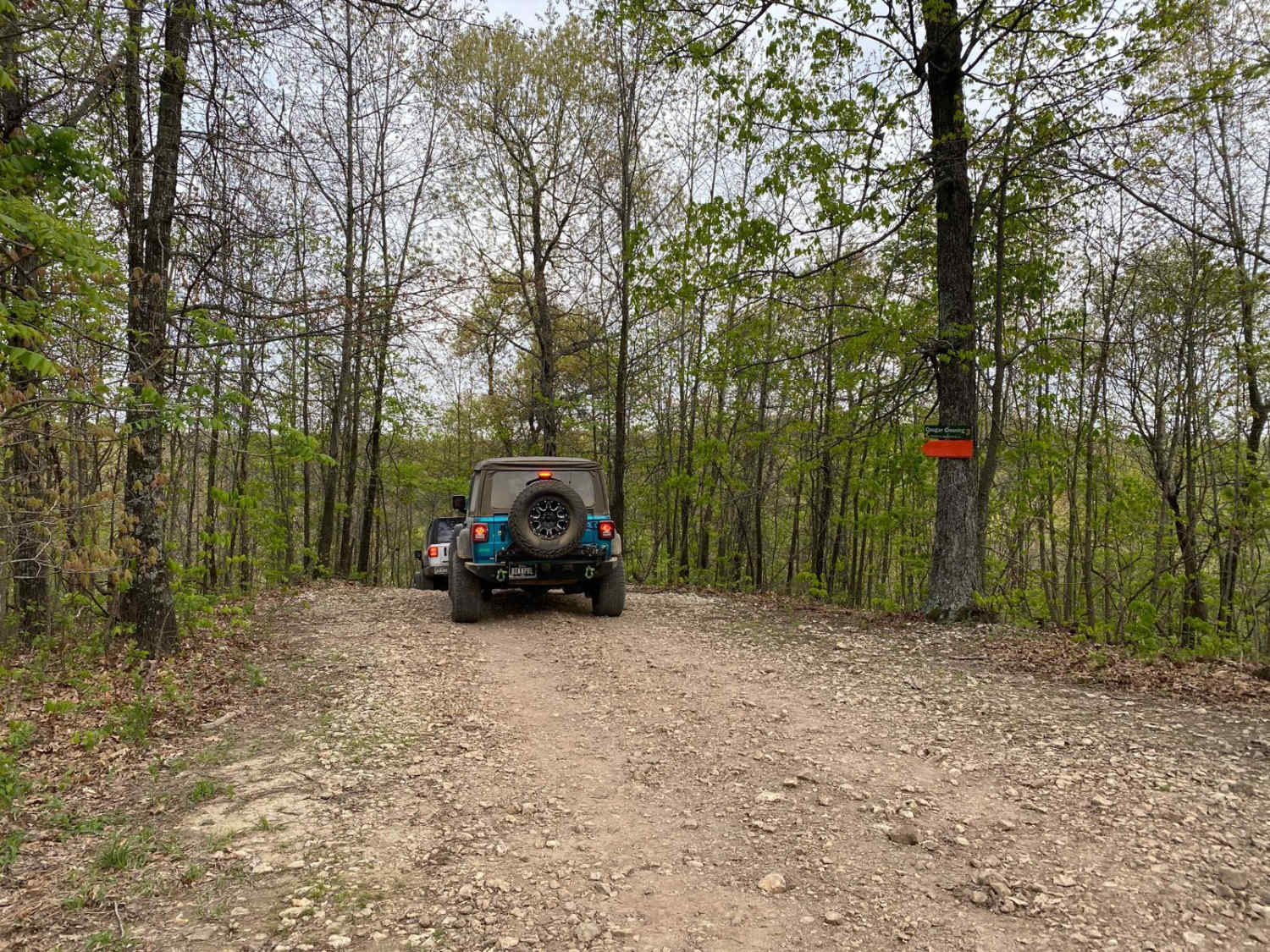
Cougar Crossing
Total Miles
0.2
Tech Rating
Moderate
Best Time
Spring, Summer, Fall
Learn more about Country Road 392/396
Country Road 392/396
Total Miles
3.8
Tech Rating
Easy
Best Time
Spring, Summer, Fall, Winter
Learn more about Country Road Nec35A
Country Road Nec35A
Total Miles
4.4
Tech Rating
Easy
Best Time
Spring, Fall, Summer, Winter
Learn more about County Road 523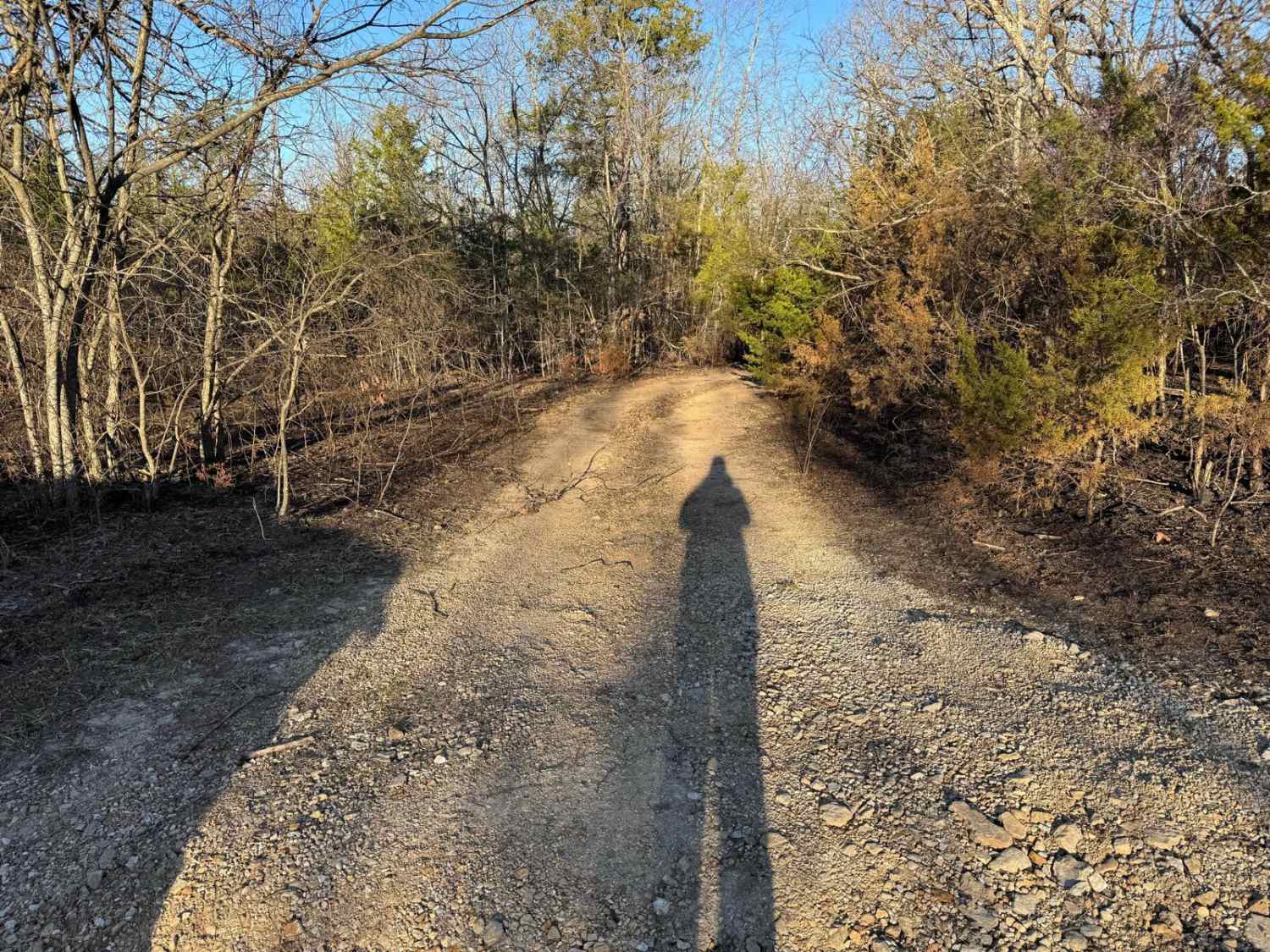
County Road 523
Total Miles
1.0
Tech Rating
Moderate
Best Time
Spring, Summer, Fall, Winter
Learn more about County Road 6420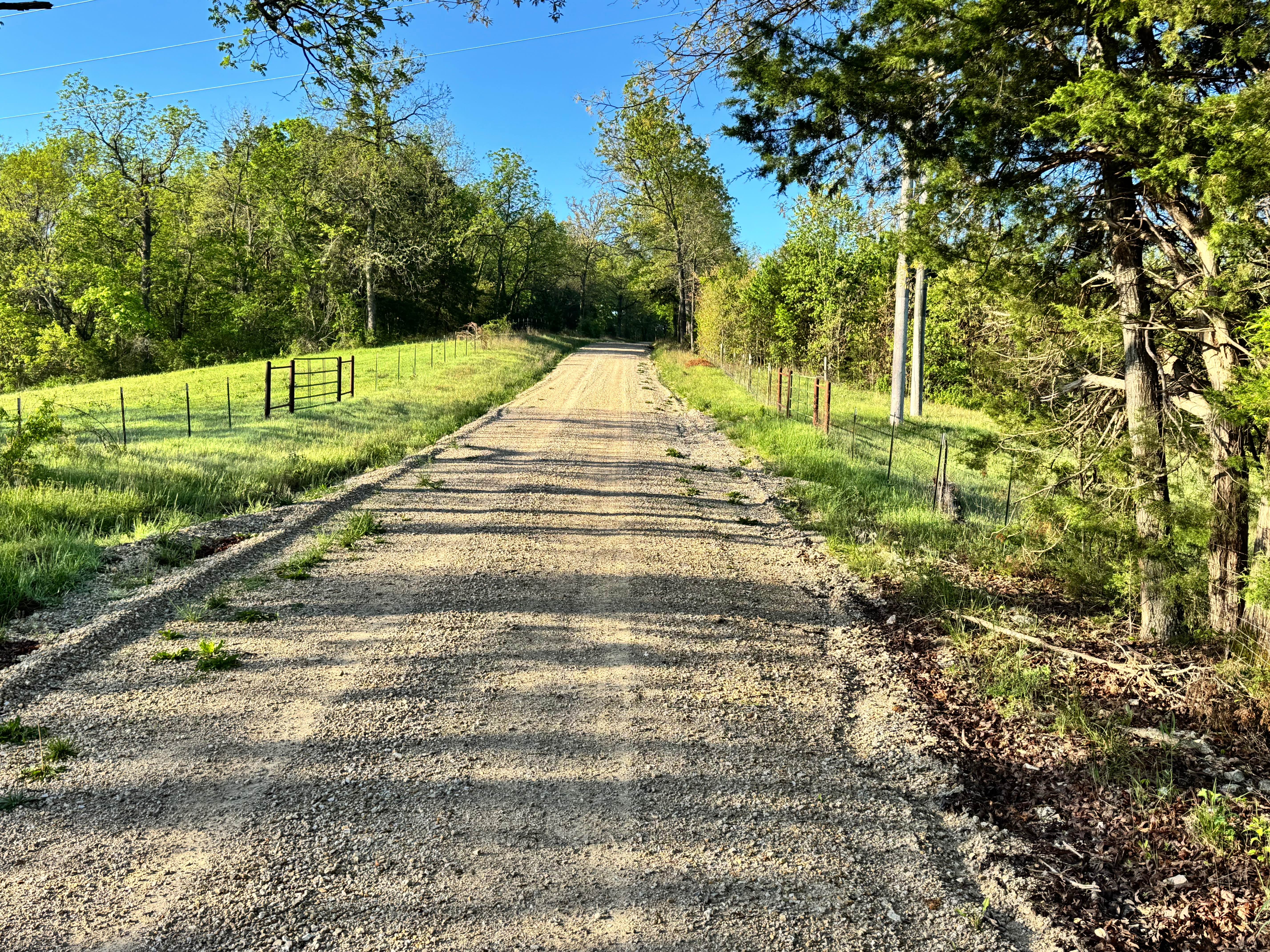
County Road 6420
Total Miles
1.8
Tech Rating
Easy
Best Time
Spring, Summer, Fall, Winter
Learn more about County Road 6590 & 6410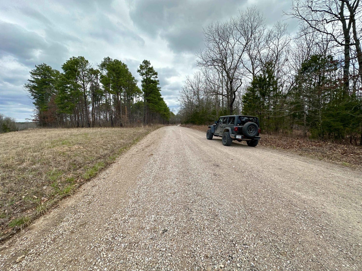
County Road 6590 & 6410
Total Miles
10.1
Tech Rating
Easy
Best Time
Spring, Summer, Fall, Winter
Learn more about County Road 6630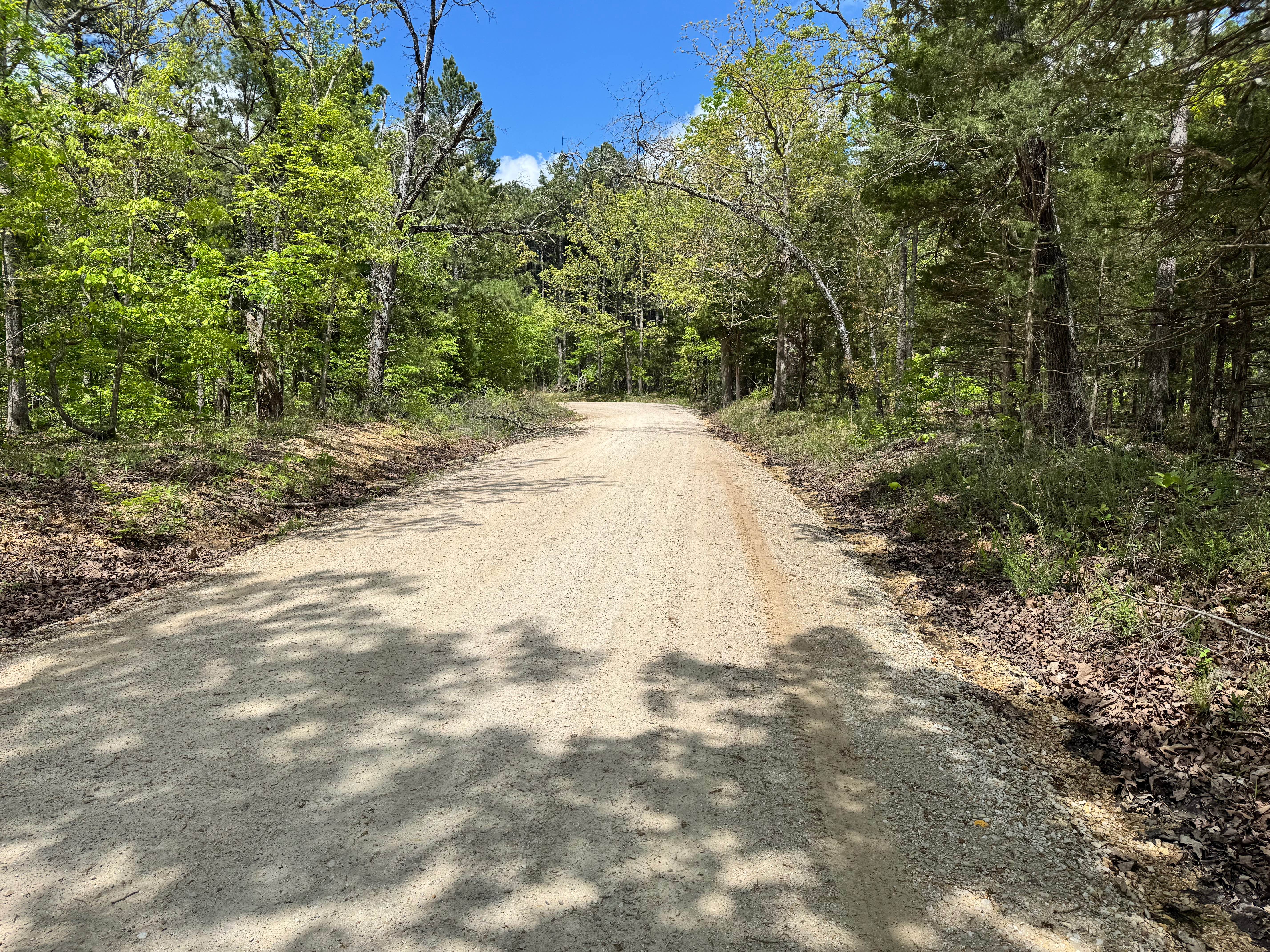
County Road 6630
Total Miles
3.7
Tech Rating
Easy
Best Time
Spring, Summer, Fall, Winter
Learn more about County Road 943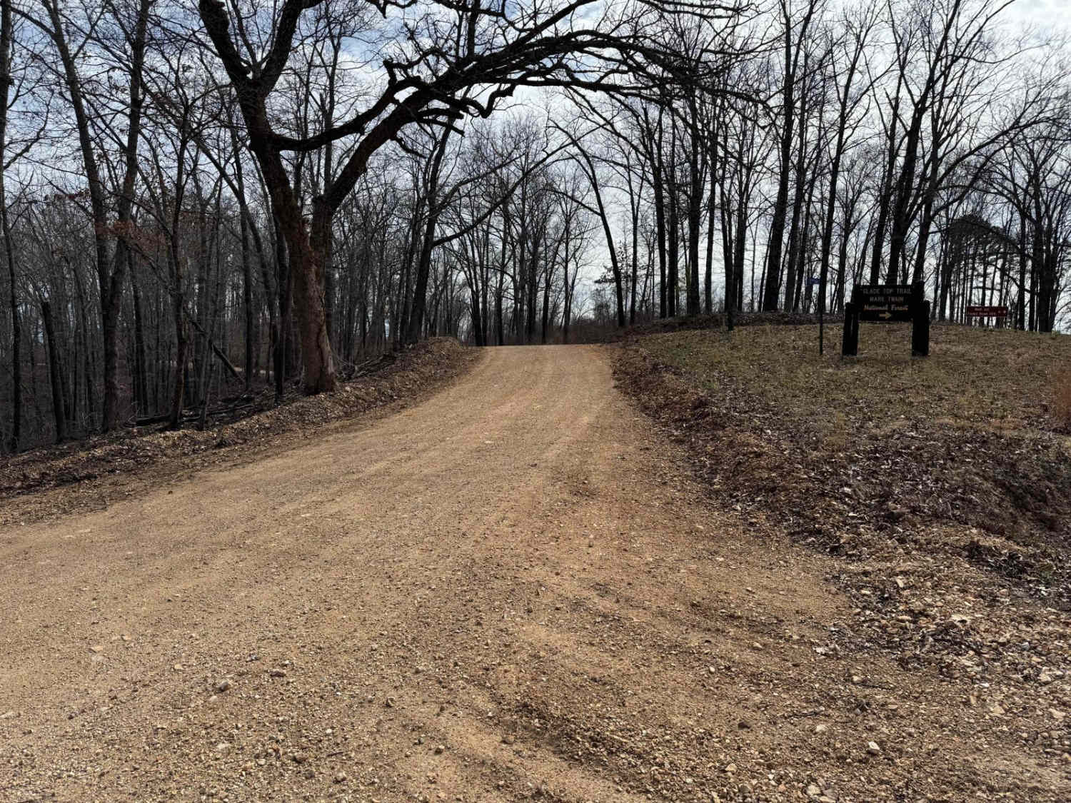
County Road 943
Total Miles
1.6
Tech Rating
Easy
Best Time
Spring, Summer, Fall, Winter
Learn more about County Road SE9056
County Road SE9056
Total Miles
5.0
Tech Rating
Easy
Best Time
Spring, Summer, Fall, Winter
Learn more about Courtois Cemetery - FS 2878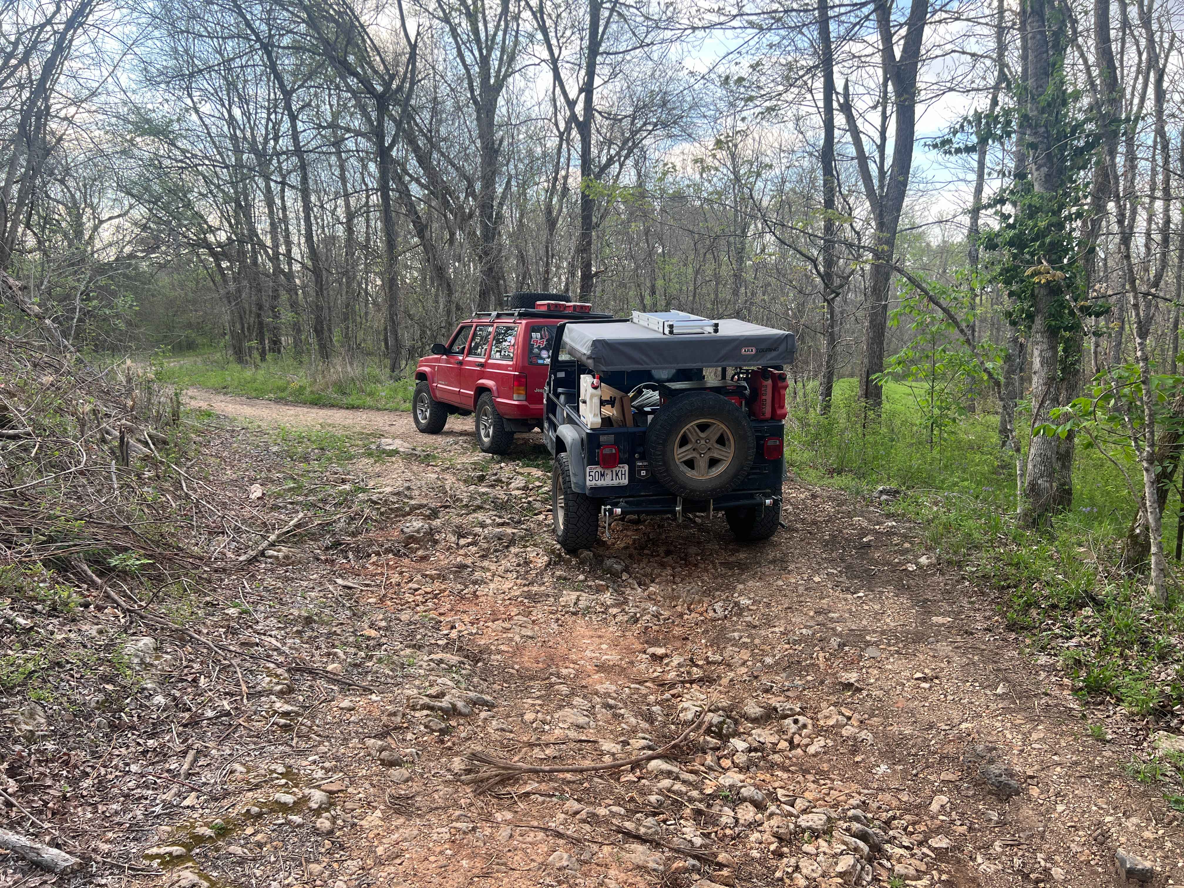
Courtois Cemetery - FS 2878
Total Miles
1.0
Tech Rating
Easy
Best Time
Spring, Summer, Fall, Winter

Learn more about Coyote - FS 1790
Coyote - FS 1790
Total Miles
1.4
Tech Rating
Easy
Best Time
Spring, Summer, Fall, Winter
Learn more about CR 907 Trail of Tears
CR 907 Trail of Tears
Total Miles
2.0
Tech Rating
Easy
Best Time
Spring, Summer, Fall, Winter
Learn more about Crane Lake Recreation Area FRS 2117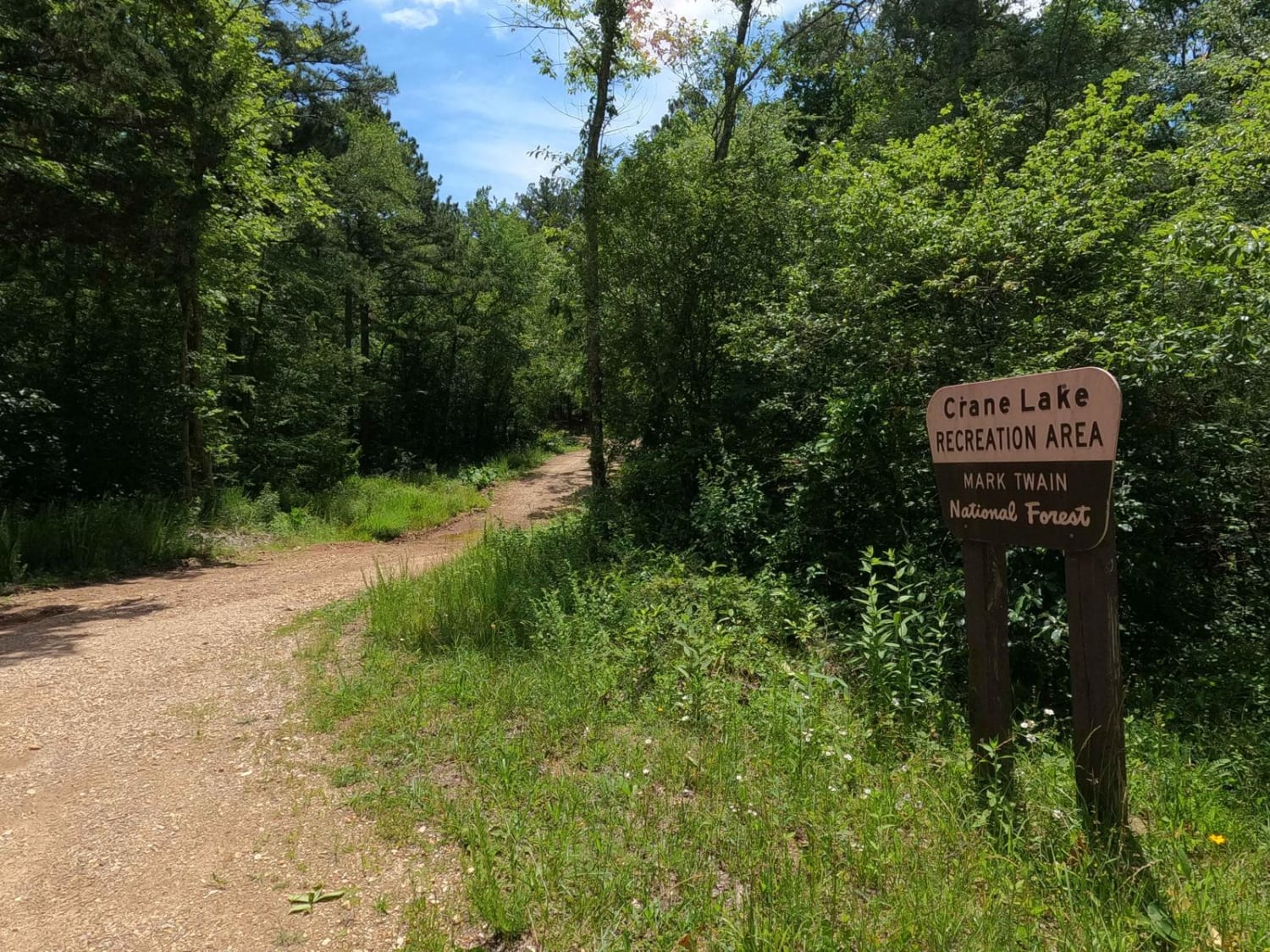
Crane Lake Recreation Area FRS 2117
Total Miles
0.2
Tech Rating
Easy
Best Time
Spring, Summer, Fall, Winter
Learn more about Crane Mountain FSR 2108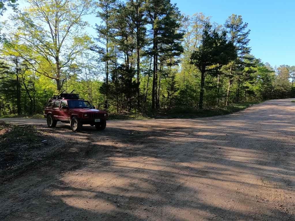
Crane Mountain FSR 2108
Total Miles
1.4
Tech Rating
Easy
Best Time
Spring, Summer, Fall, Winter
Learn more about Crane Mountain Ridge FSR 2037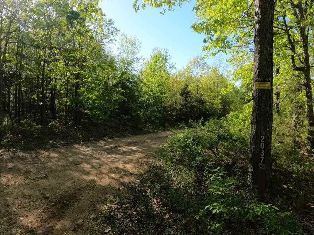
Crane Mountain Ridge FSR 2037
Total Miles
1.6
Tech Rating
Easy
Best Time
Spring, Summer, Fall, Winter
Learn more about Crane Tower FSR 2192
Crane Tower FSR 2192
Total Miles
0.9
Tech Rating
Moderate
Best Time
Spring, Summer, Fall, Winter
Learn more about Crane Tower South FSR 2116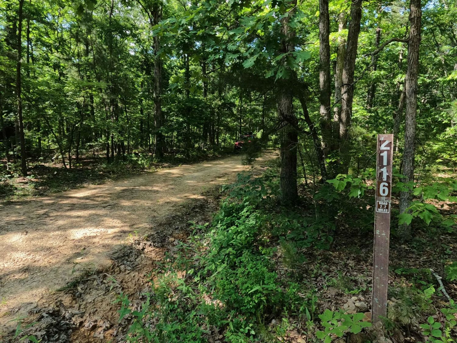
Crane Tower South FSR 2116
Total Miles
2.3
Tech Rating
Easy
Best Time
Summer, Fall, Winter
ATV trails in Missouri


Learn more about 4 of 5
4 of 5
Total Miles
0.0
Tech Rating
Difficult
Best Time
Spring, Summer, Fall, Winter
UTV/side-by-side trails in Missouri
Learn more about 4 of 5
4 of 5
Total Miles
0.0
Tech Rating
Difficult
Best Time
Spring, Summer, Fall, Winter
The onX Offroad Difference
onX Offroad combines trail photos, descriptions, difficulty ratings, width restrictions, seasonality, and more in a user-friendly interface. Available on all devices, with offline access and full compatibility with CarPlay and Android Auto. Discover what you’re missing today!