County Road 6420
Total Miles
1.8
Technical Rating
Best Time
Spring, Summer, Fall, Winter
Trail Type
Full-Width Road
Accessible By
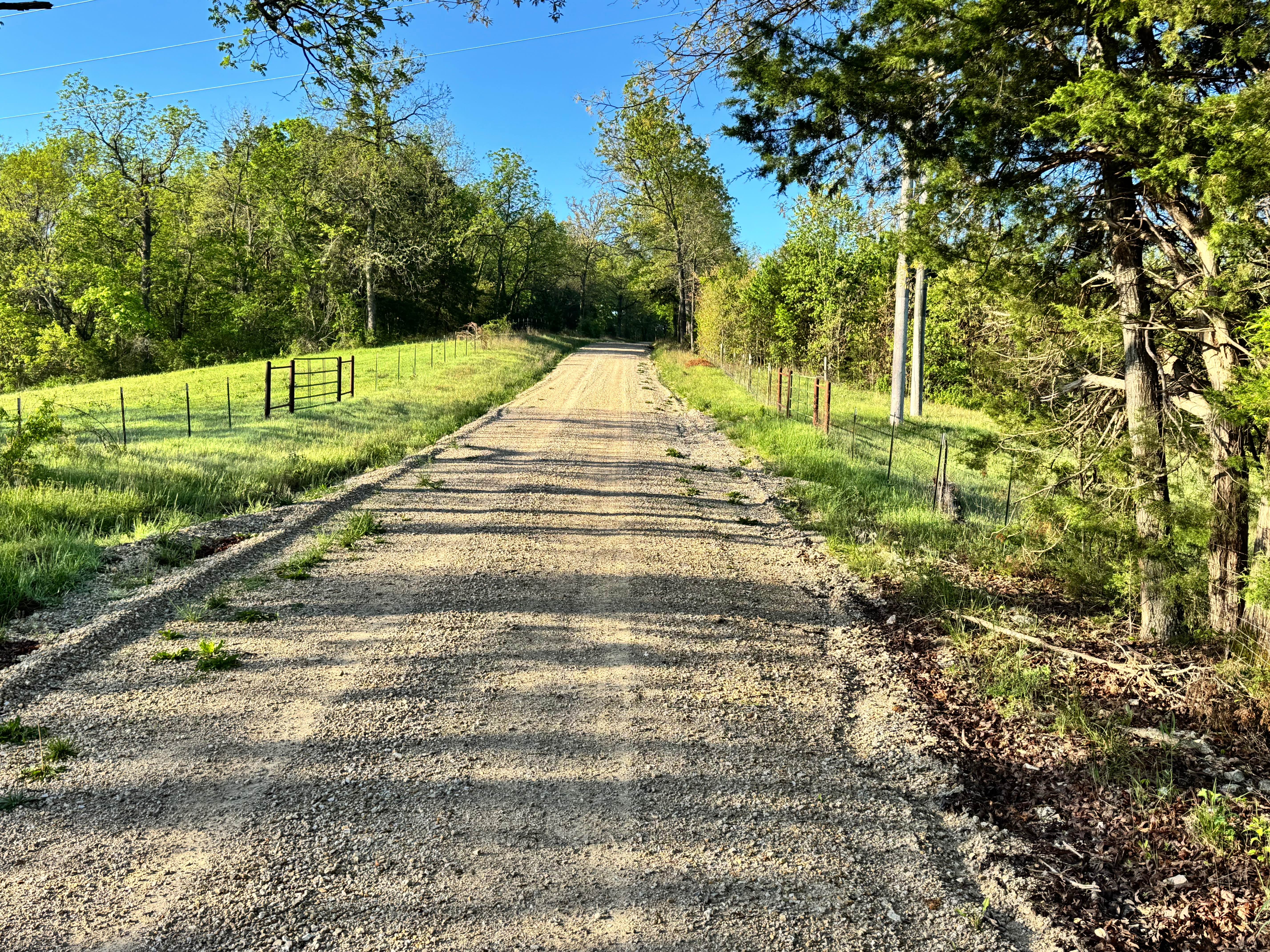
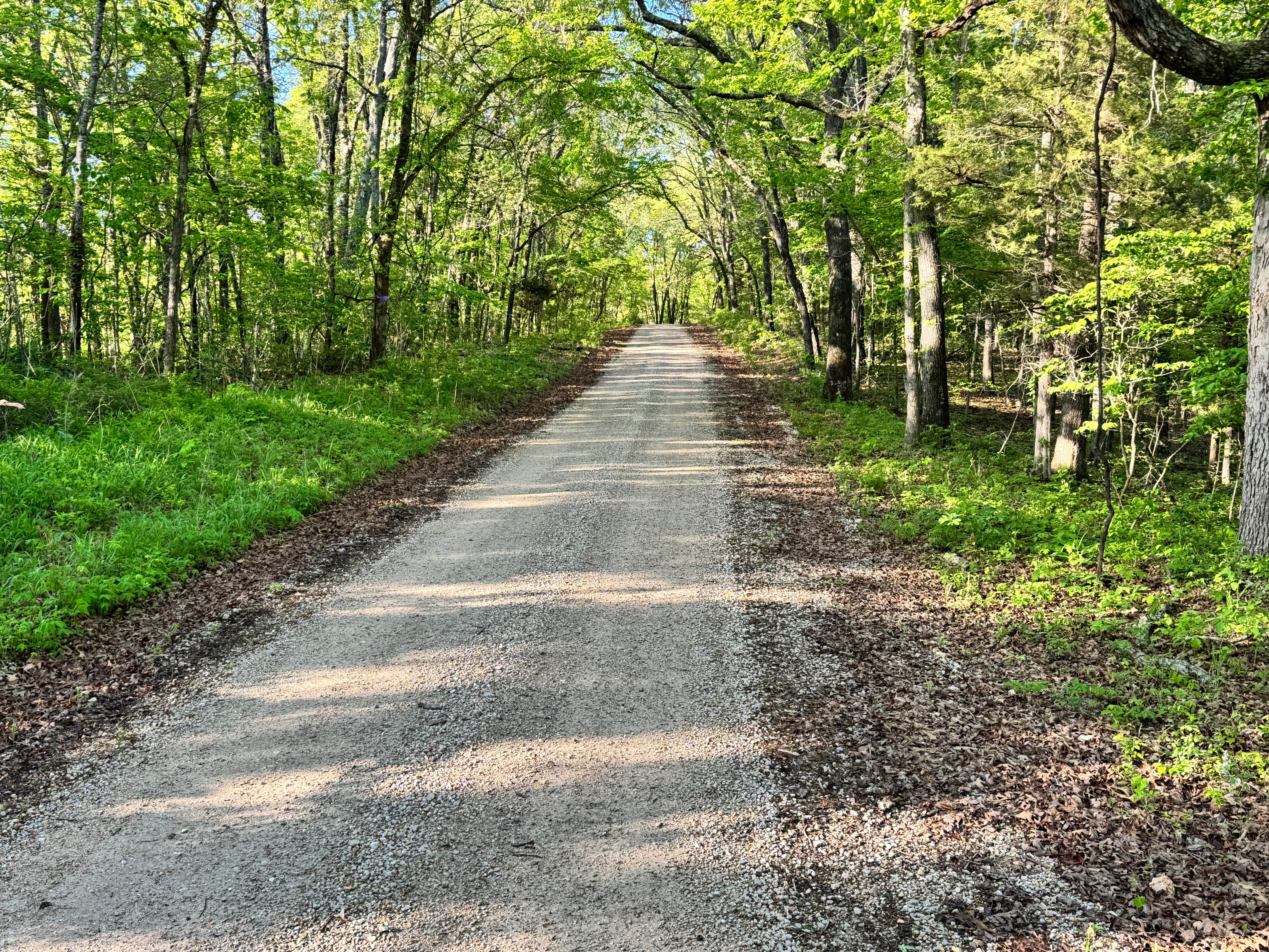
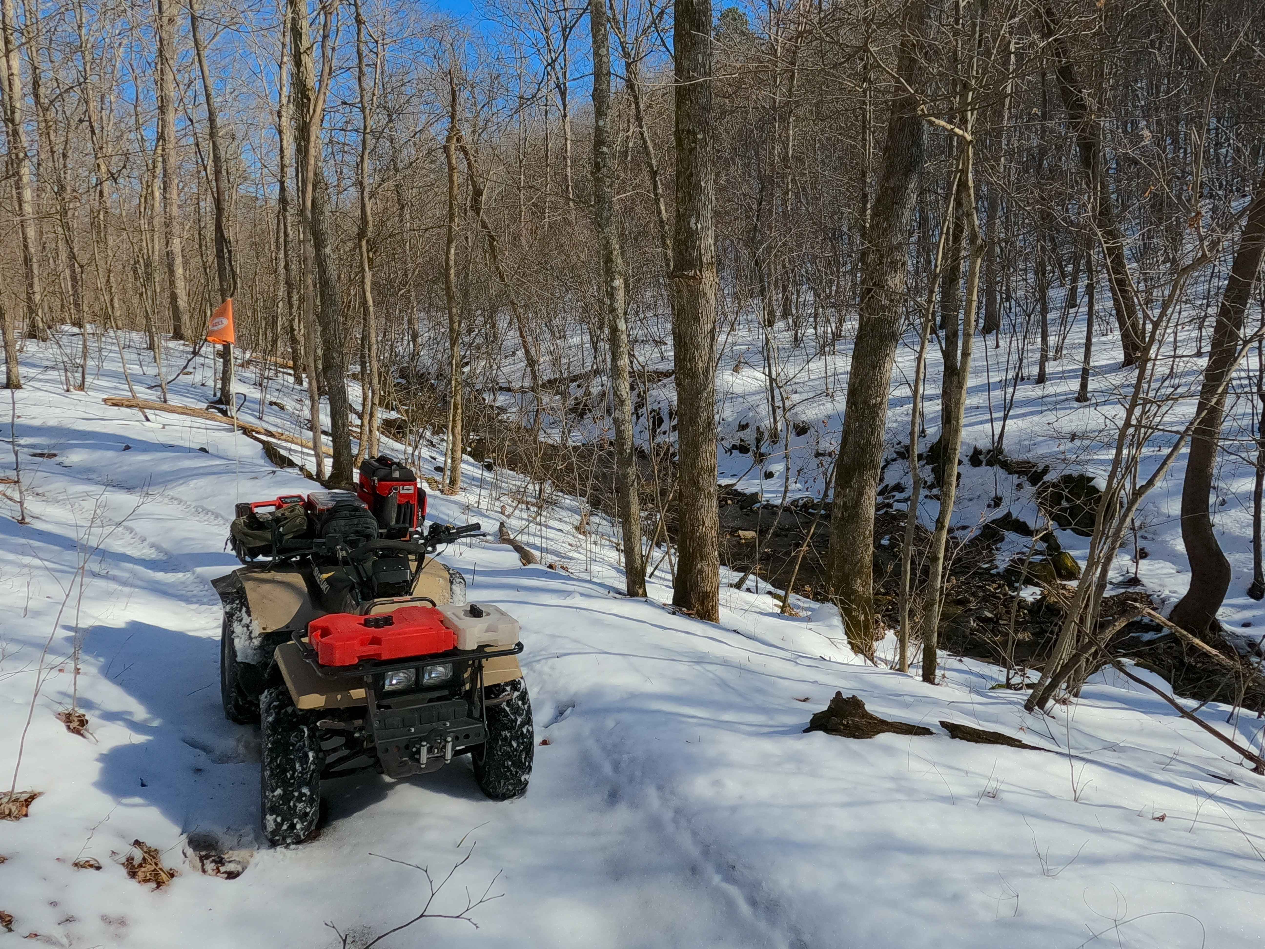
Trail Overview
This maintained gravel county road offers an easy drive through a scenic mix of open pastureland and mature forest. One end begins near private property, so respect fencing, stay on the established route, and avoid entering adjacent land. The road remains wide and smooth with gentle curves, making it suitable for nearly any high clearance vehicle or standard SUV. Along the way, you will pass the area known as Democrat Ridge and may notice spots commonly used by hunters for parking access into the surrounding woods. The opposite end connects directly to Highway J, creating a straightforward through route.
Photos of County Road 6420
Difficulty
Suitable for nearly any vehicle in normal conditions. The surface is smooth and predictable with no technical features, steep climbs, or required obstacles. Main cautions are loose gravel, weather-related slick spots, and extra traffic during hunting season. Use normal rural-road awareness and remain on the marked route near neighboring property.
History
Mark Twain National Forest was established in 1939 and spans large portions of southern Missouri. Many roads and routes through the forest originated as access roads for timber, land management, and rural travel, and today they provide access for recreation and outdoor exploration.
Status Reports
County Road 6420 can be accessed by the following ride types:
- High-Clearance 4x4
- SUV
County Road 6420 Map
Popular Trails
Sutton Bluff ATV 4 North - SB 4
Southern Cross
Sutton Bluff ATV 7 North - SB 7
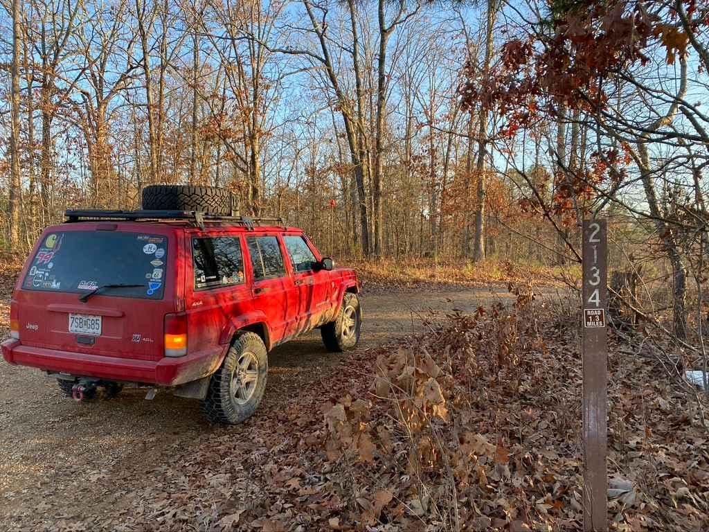
Dogtrot Hollow FSR 2134
The onX Offroad Difference
onX Offroad combines trail photos, descriptions, difficulty ratings, width restrictions, seasonality, and more in a user-friendly interface. Available on all devices, with offline access and full compatibility with CarPlay and Android Auto. Discover what you’re missing today!