Sutton Bluff ATV 4 North - SB 4
Total Miles
1.8
Technical Rating
Best Time
Spring, Summer, Fall, Winter
Trail Type
50" Trail
Accessible By
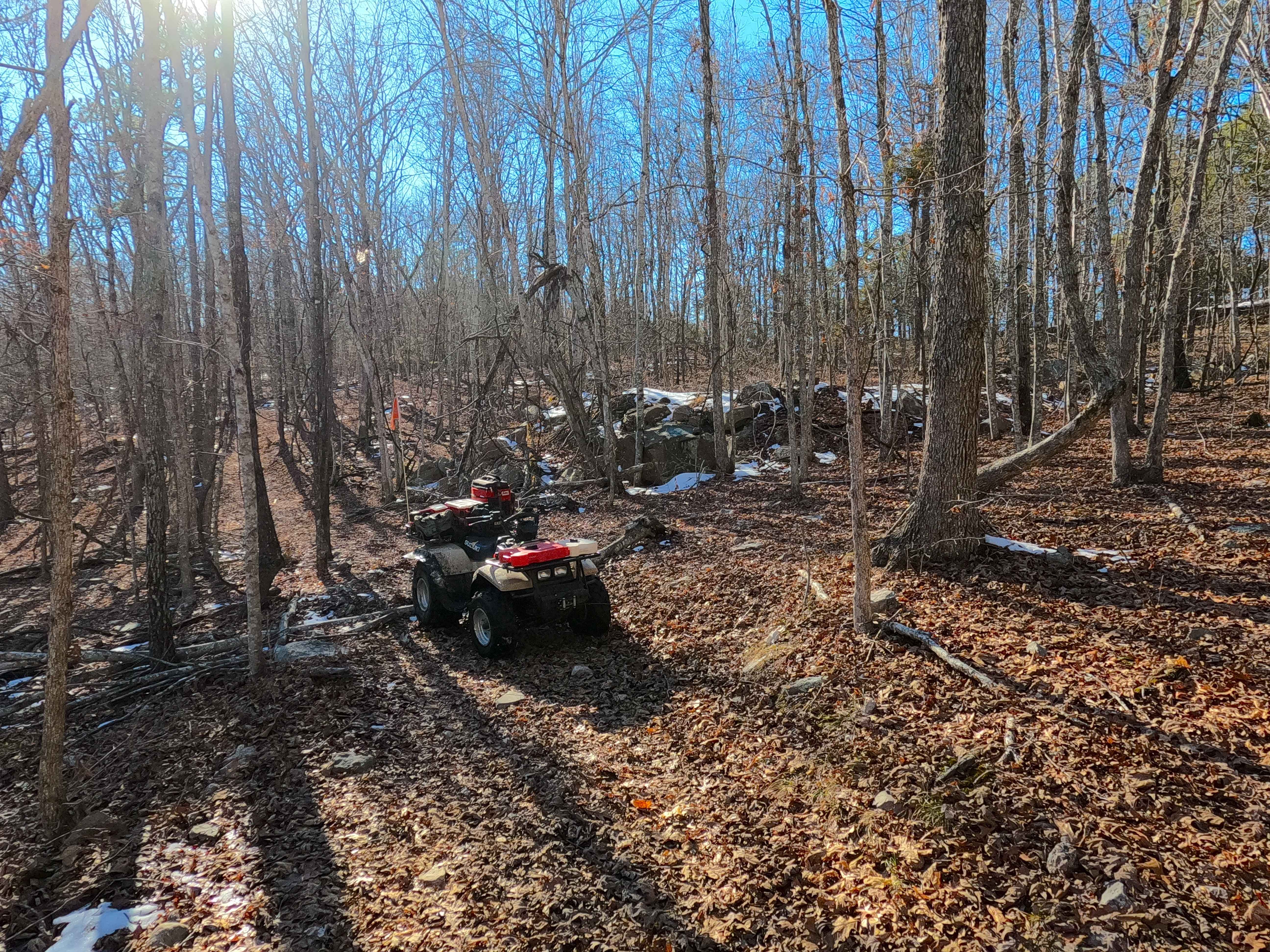
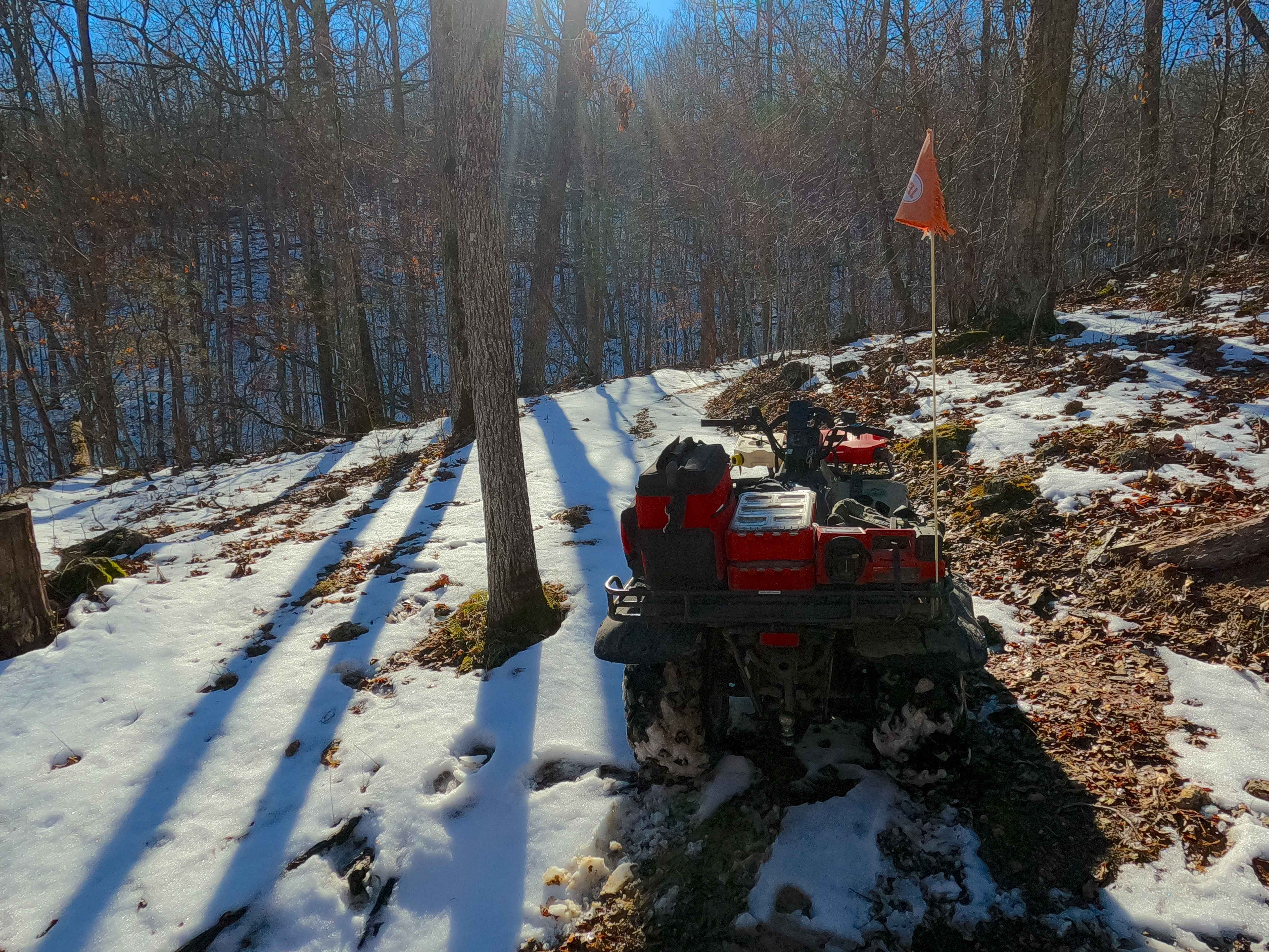
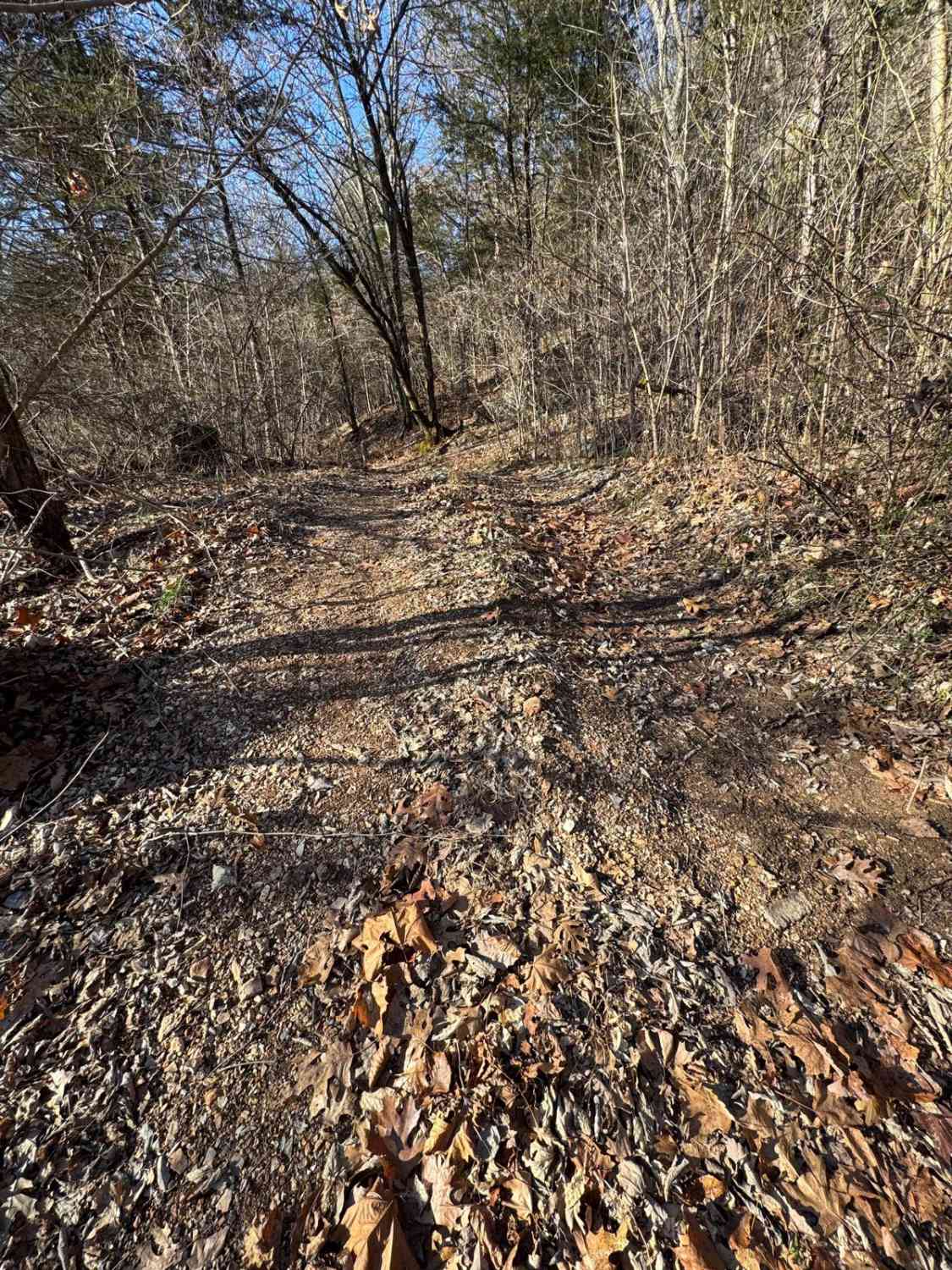
Trail Overview
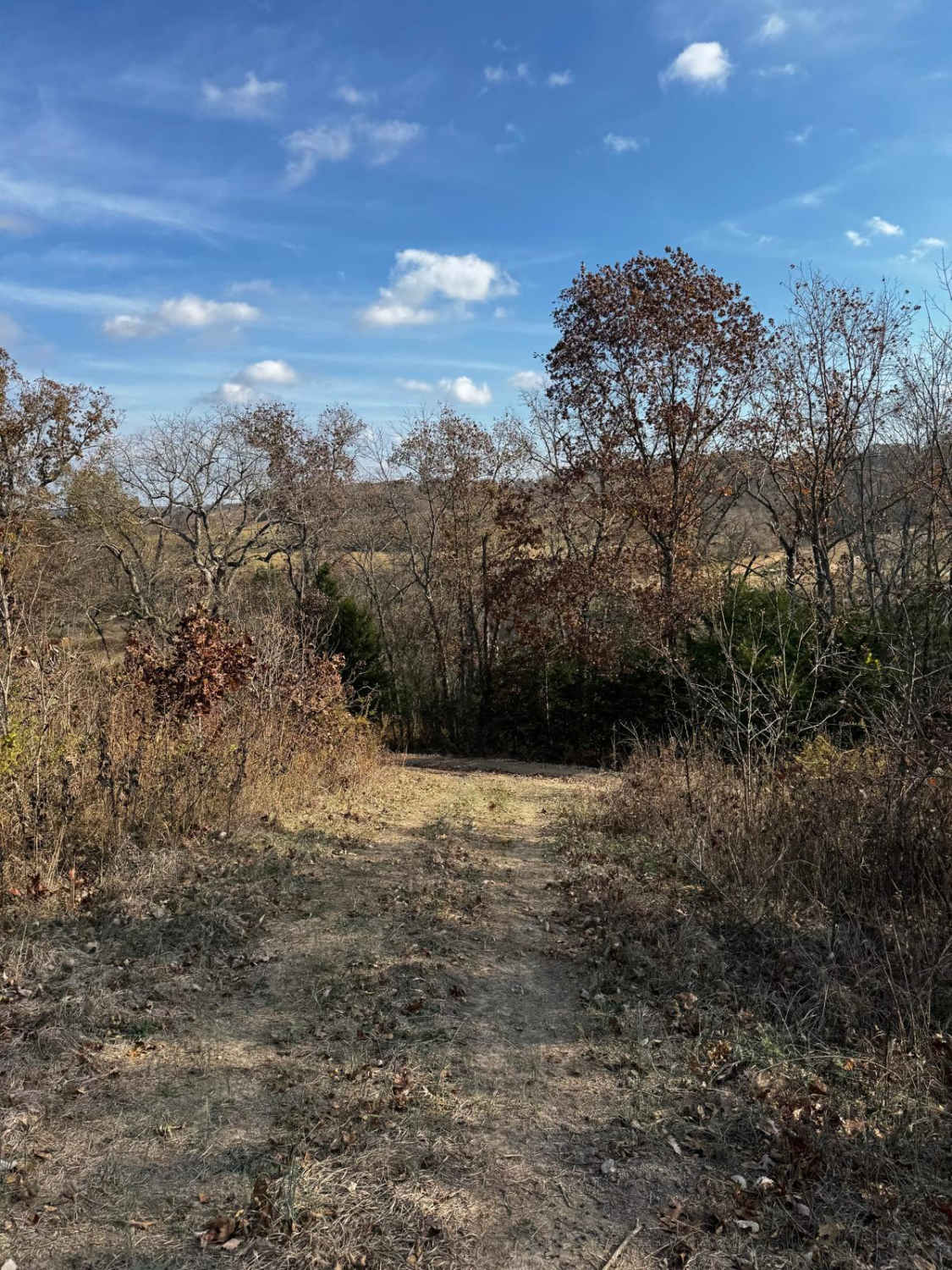
Sutton Bluff ATV 4 (North Section), also known as Boulder Clearing, with the legal/emergency ID SB 4, is a 50-inch and under restricted trail within the Sutton Bluff OHV trail system, managed by the Mark Twain National Forest Salem Unit. The SB 4 North is a part of the "far east section" of Sutton Bluff OHV, orientated as a C shaped trail, despite the trail traveling mostly west of the end points, logistically the trail goes north-to-south, connecting between the Karkaghne Scenic Drive on the north end, and the crossing with the SB 4 South and SB 5 on the south end. Summary of the SB 4 North track, starting from its north end at the Karkaghne Scenic Drive, the trail starts by quickly turning west-southwest, dropping downhill as it parallels along the Karkaghne Scenic Drive, then it levels out on a generally flat ridge section with large piles of boulders to the north along the Karkaghne, these boulder piles were likely collected during the creation of the Karkaghne Scenic Drive road. The trail eventually turns southeast, heading away from the Karkaghne Scenic Drive, riding out more of the windy ridge, turning east to hit the final section of ridge top, before making one last major turn back southeast, to descend a steep hill section to the southern end, concluding at the 3-way crossing with SB 4 South and SB 5. SB 4 South's notable core elements include the southeast steep hill grade, a natural coarse-gravel-dirt path, featuring whoops, loose cobbles, mini boulders, natural rock slabs, tree roots, and small water-collection spots. To enjoy this trail and OHV system, obtain the required Sutton Bluff permit from Mark Twain National Forest, and if intending to use an ATV on Reynolds County Roads to commute between trails, obtain the Reynolds County ATV/UTV permit as well, in accordance with Missouri state laws.
Photos of Sutton Bluff ATV 4 North - SB 4
Difficulty
The SB 4 North is given a base rating of 3/10, for having small 3-6 inch water collection spots, with a steep grade on the southeast hill section of the track, occasional small 3-12 inch fallen trees, tree roots acting as mini 3-8 inch ledges, loose 4-10 inch cobbles laying loose in the trail, 10 inch to 18 inch mini boulders and natrual slabs present on edges or mostly buried within the ground as part of the path. Difficulty can increase, from heavy use and a lack of maintenance, large 12+ inch fallen trees blocking the trail, in wet or rainy conditions, inclement weather, or from damage sustained from flash flooding, and if actively flooding, consider the trail closed.
Status Reports
Sutton Bluff ATV 4 North - SB 4 can be accessed by the following ride types:
- ATV (50")
- Dirt Bike
Sutton Bluff ATV 4 North - SB 4 Map
Popular Trails

Round Mountain Road
Skagway Road
Stairway Climb 2
The onX Offroad Difference
onX Offroad combines trail photos, descriptions, difficulty ratings, width restrictions, seasonality, and more in a user-friendly interface. Available on all devices, with offline access and full compatibility with CarPlay and Android Auto. Discover what you’re missing today!