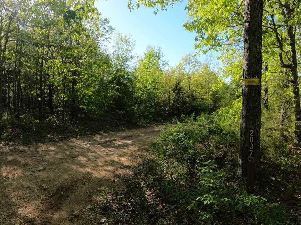
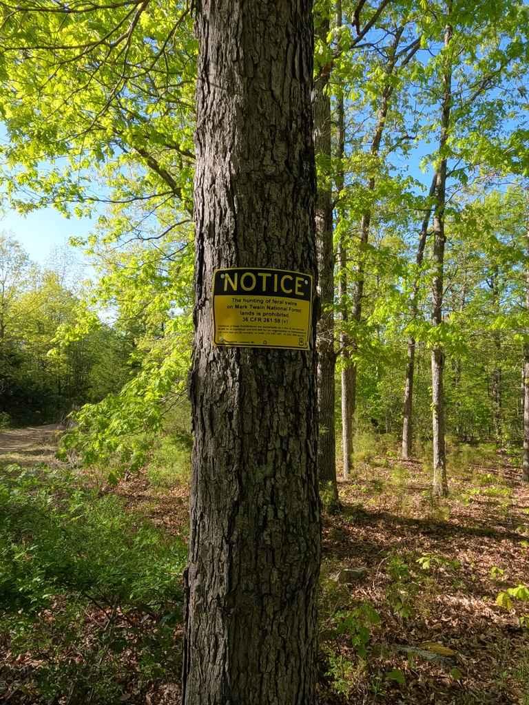
Crane Mountain Ridge FSR 2037
Total Miles
1.6
Technical Rating
Best Time
Spring, Summer, Fall, Winter
Trail Type
Full-Width Road
Accessible By
Trail Overview
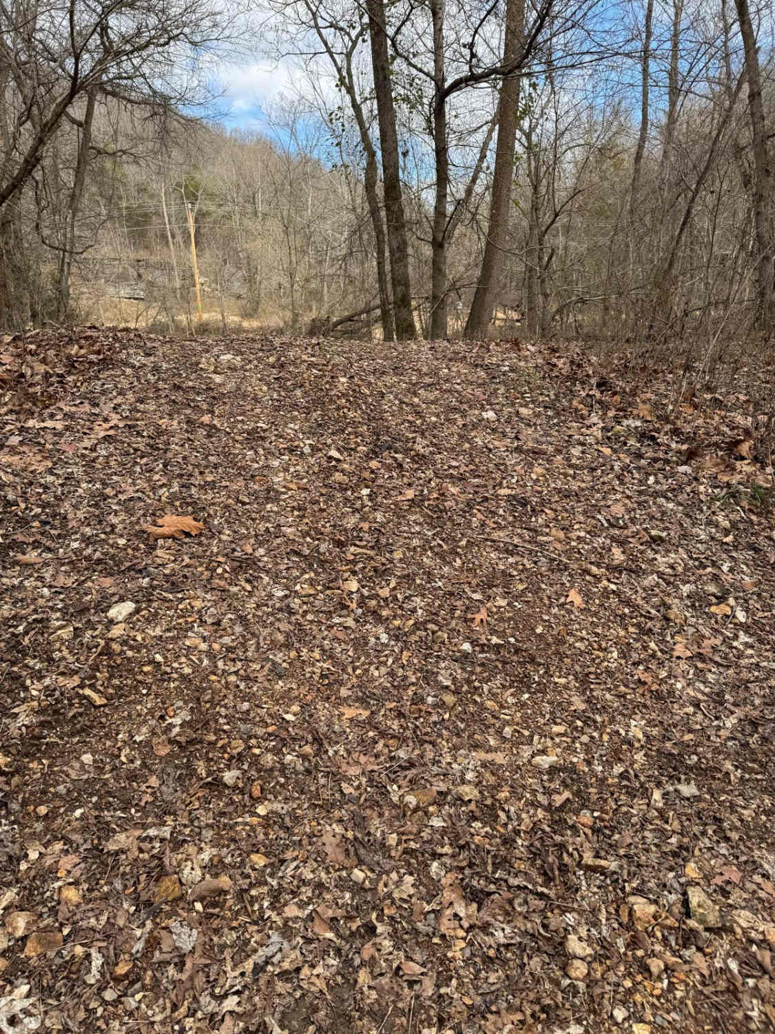
The Crane Mountain Ridge FSR 2037, is a gravel forestry road through the St Francois Mountains in the Fredericktown sector of Mark Twain National Forest. It features mild hill climbs, small loose rock, an off camber spot, large pot holes, rutting, mounding, washboarding, water collections spots, optional mud pits, camp cut outs. Fun and safe little trail if you take your time.
Photos of Crane Mountain Ridge FSR 2037
Difficulty
The road features many water collection spots, in a few places back to back, it also features one spot with a good off-camber tilt with one side being in a water channelizing divot/rut. There are also some optional deep mud holes on the side of the trail at .25 miles in, though I would steer clear of these for Tread Lightly purposes
Status Reports
Crane Mountain Ridge FSR 2037 can be accessed by the following ride types:
- High-Clearance 4x4
- SUV
Crane Mountain Ridge FSR 2037 Map
Popular Trails
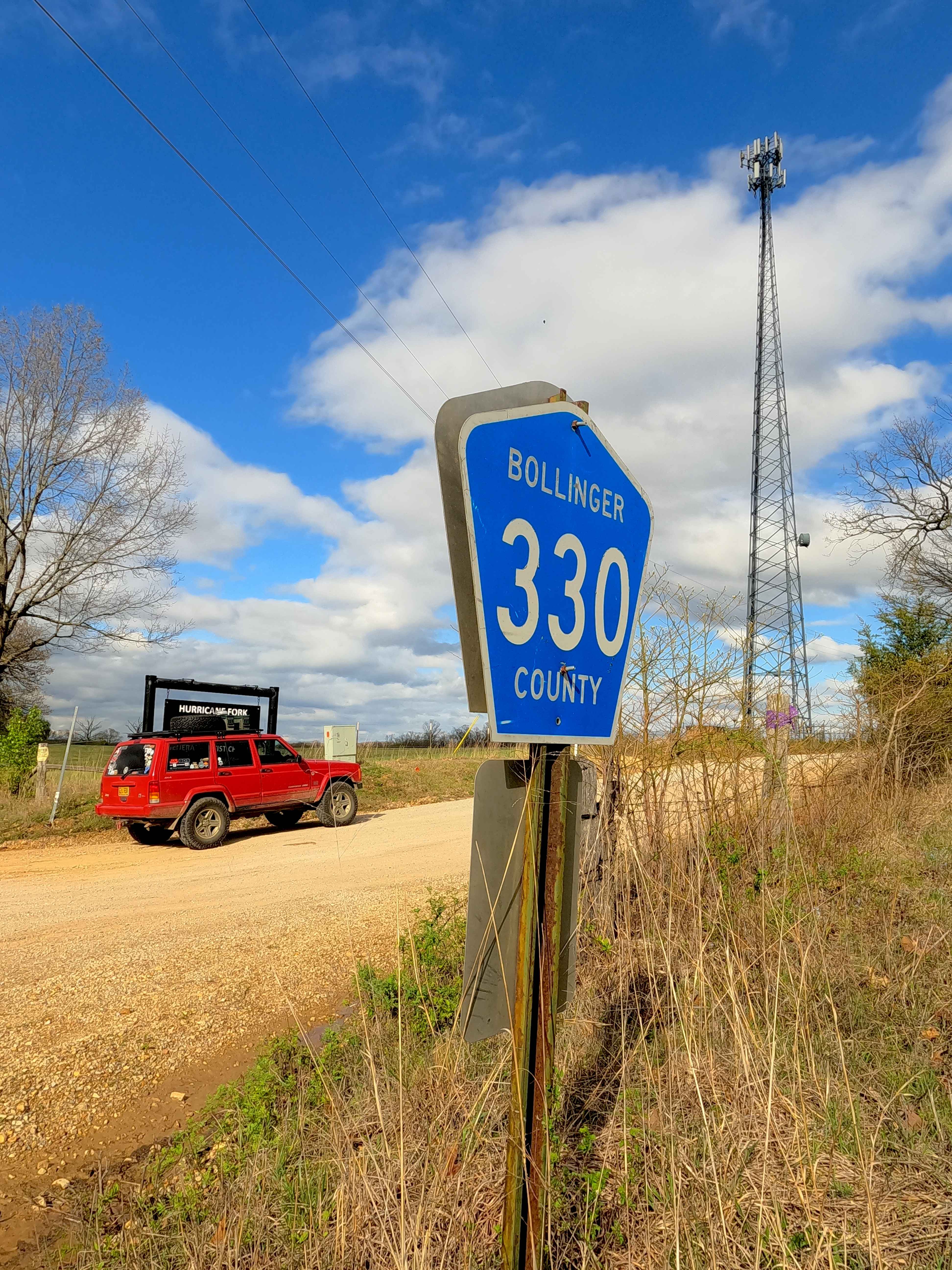
Hurricane Road

Purple 58
The onX Offroad Difference
onX Offroad combines trail photos, descriptions, difficulty ratings, width restrictions, seasonality, and more in a user-friendly interface. Available on all devices, with offline access and full compatibility with CarPlay and Android Auto. Discover what you’re missing today!
