Off-Road Trails in Missouri
Discover off-road trails in Missouri
Learn more about Eagle Ridge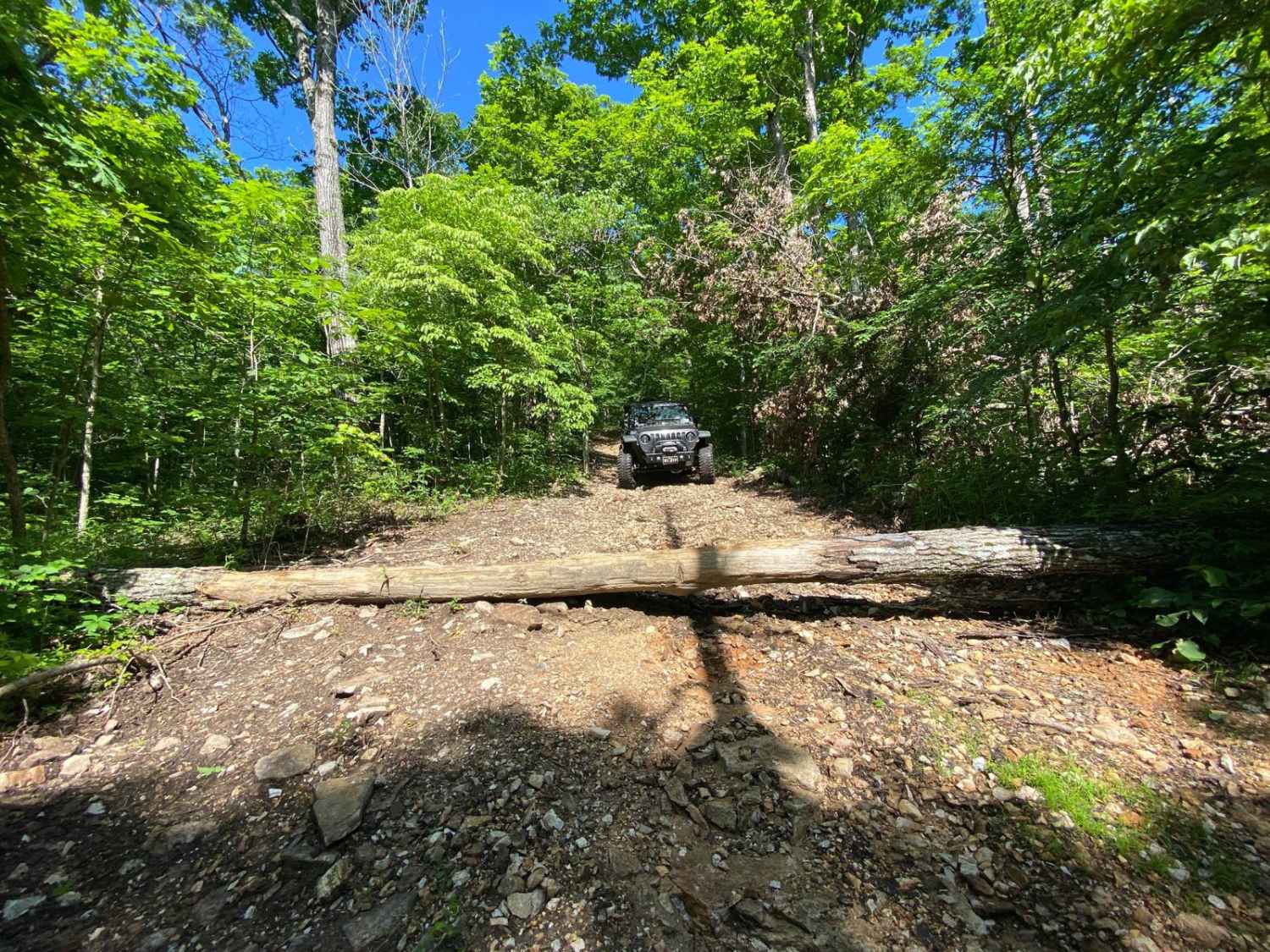
Eagle Ridge
Total Miles
0.5
Tech Rating
Moderate
Best Time
Spring, Summer, Fall
Learn more about East Kelly Ridge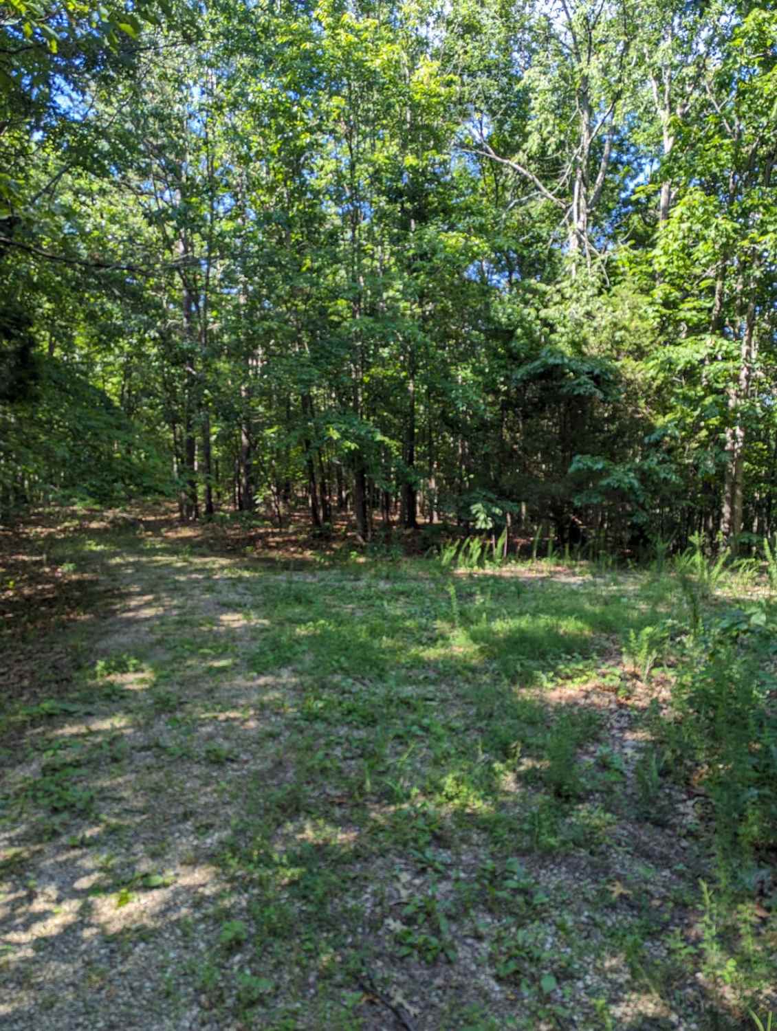
East Kelly Ridge
Total Miles
1.7
Tech Rating
Easy
Best Time
Spring, Summer, Fall, Winter
Learn more about Eastern Landing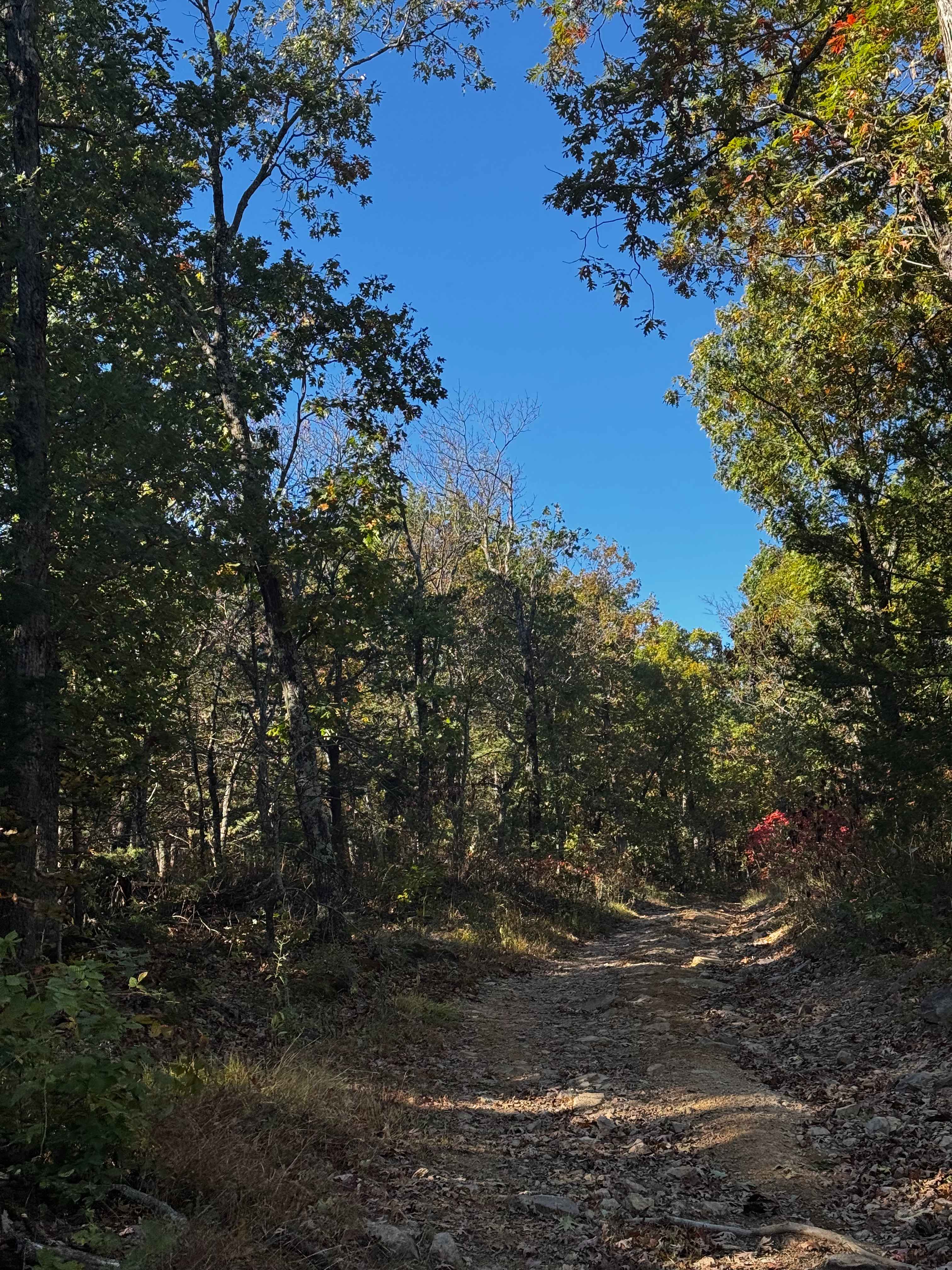
Eastern Landing
Total Miles
0.3
Tech Rating
Easy
Best Time
Spring, Summer, Fall, Winter
Learn more about Eastern Lower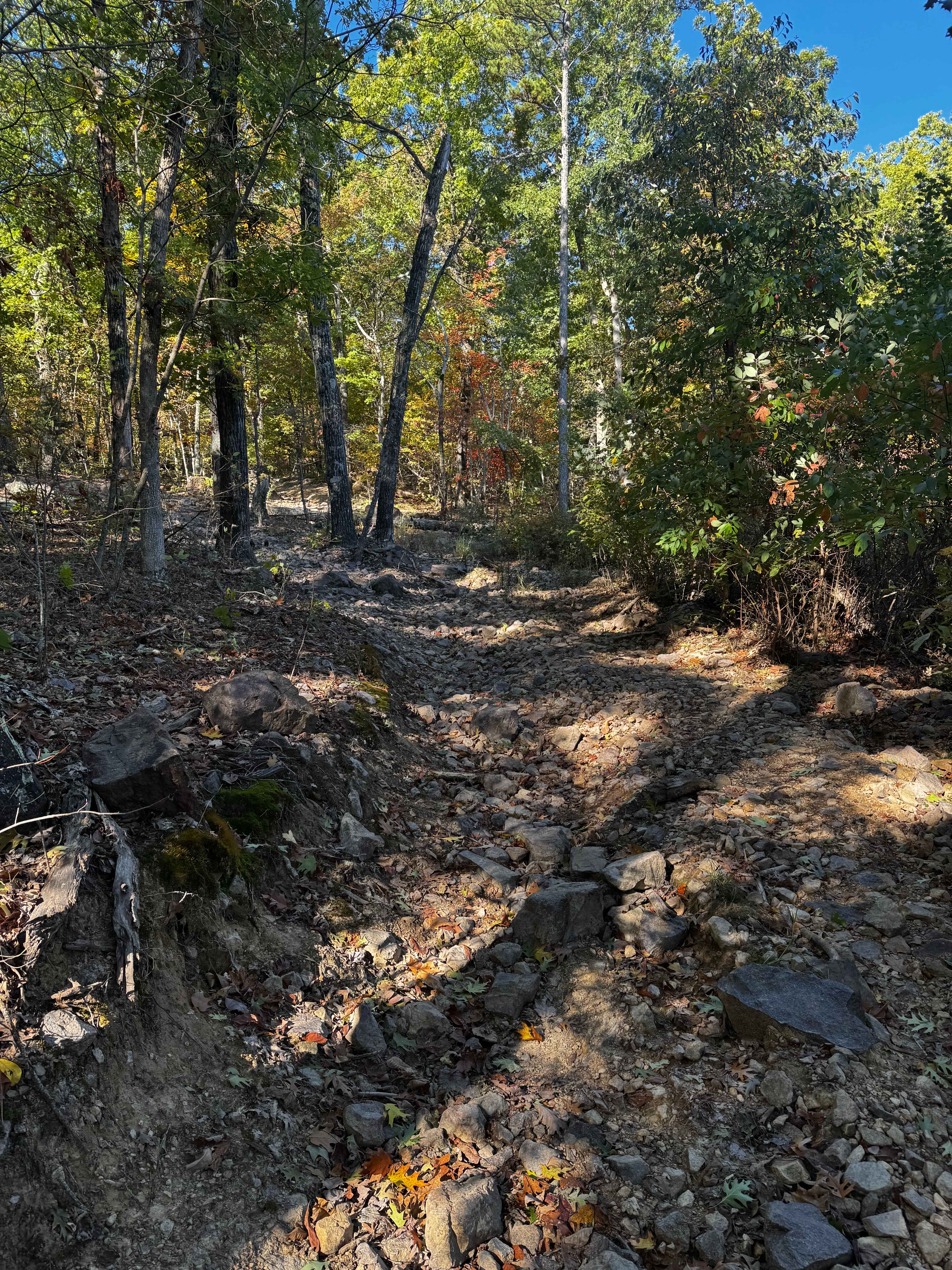
Eastern Lower
Total Miles
0.6
Tech Rating
Moderate
Best Time
Spring, Summer, Fall, Winter
Learn more about Eastern Upper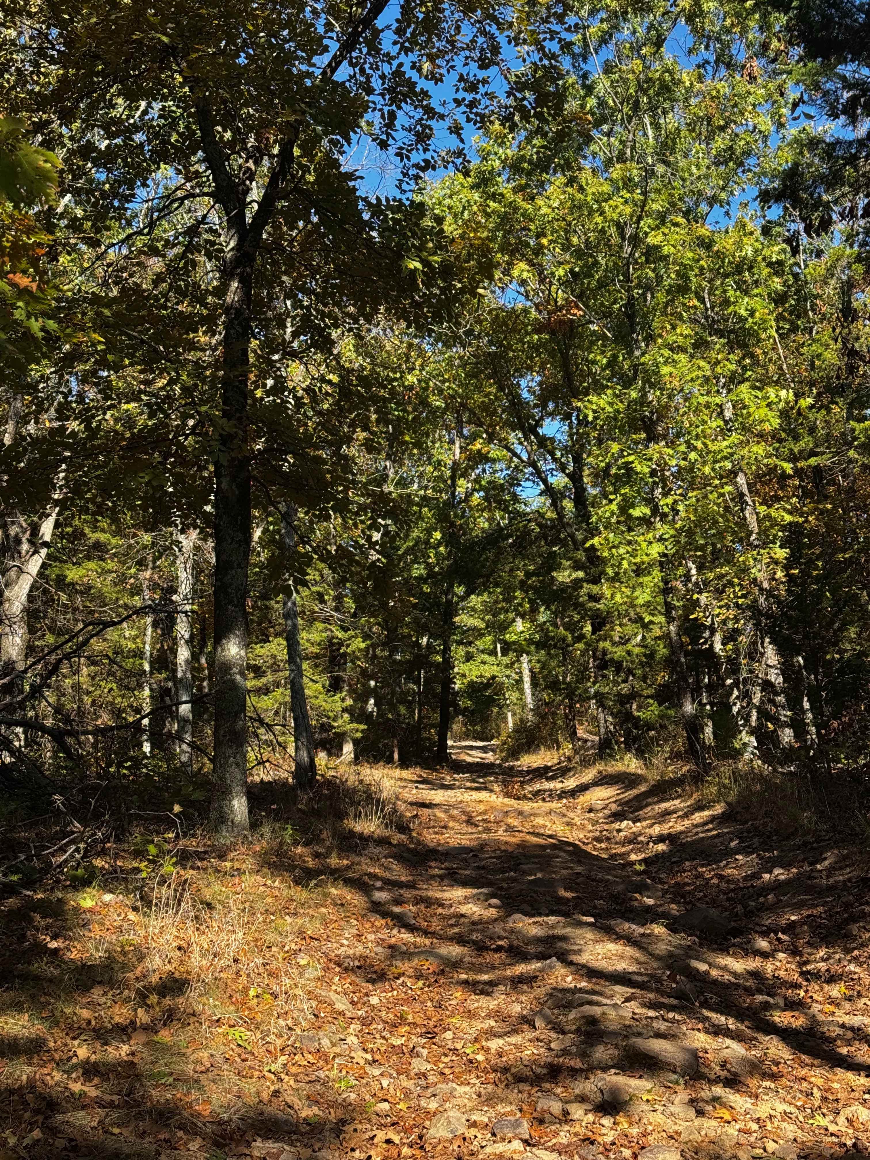
Eastern Upper
Total Miles
0.1
Tech Rating
Easy
Best Time
Spring, Fall, Summer, Winter
Learn more about Eastwood Drive
Eastwood Drive
Total Miles
2.2
Tech Rating
Easy
Best Time
Spring, Summer, Fall
Learn more about Easy Does It Trail
Easy Does It Trail
Total Miles
0.1
Tech Rating
Easy
Best Time
Spring, Summer, Fall, Winter
Learn more about Ebb Spring - FS 4100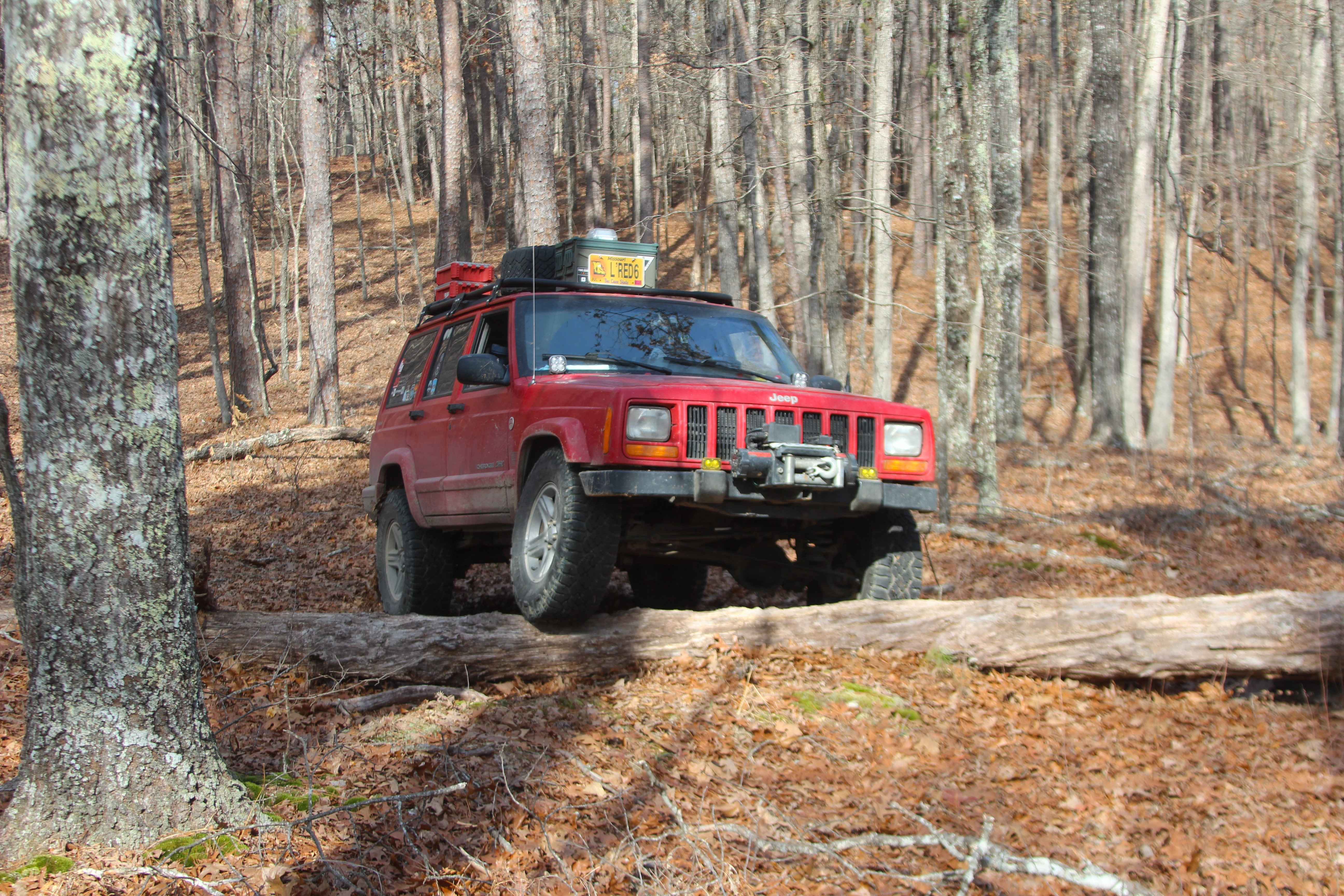
Ebb Spring - FS 4100
Total Miles
0.5
Tech Rating
Easy
Best Time
Spring, Summer, Fall, Winter
Learn more about Emmatrude - FS 5820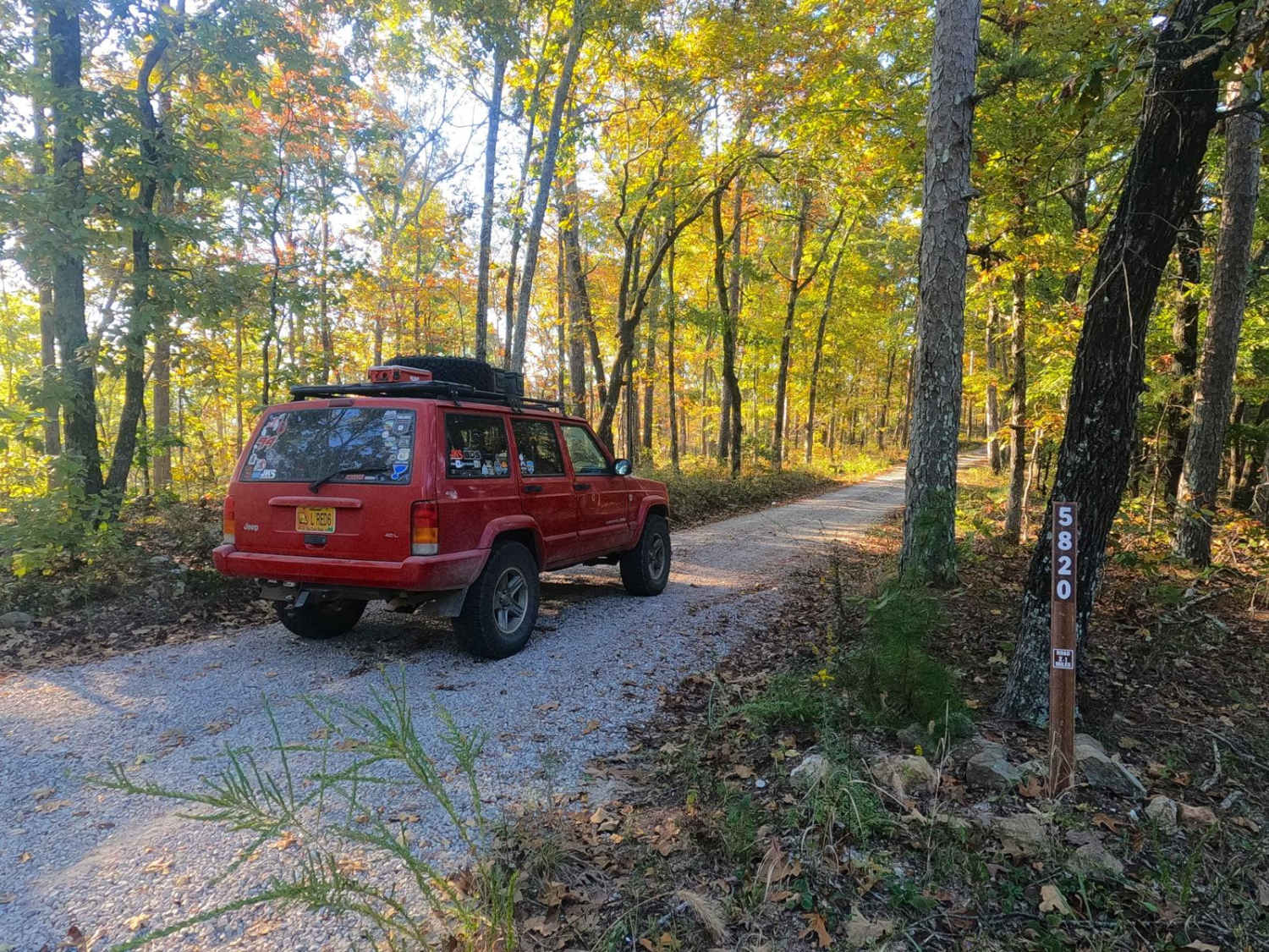
Emmatrude - FS 5820
Total Miles
1.6
Tech Rating
Easy
Best Time
Spring, Summer, Fall, Winter
Learn more about Enough Road - ICR 16 FS 2768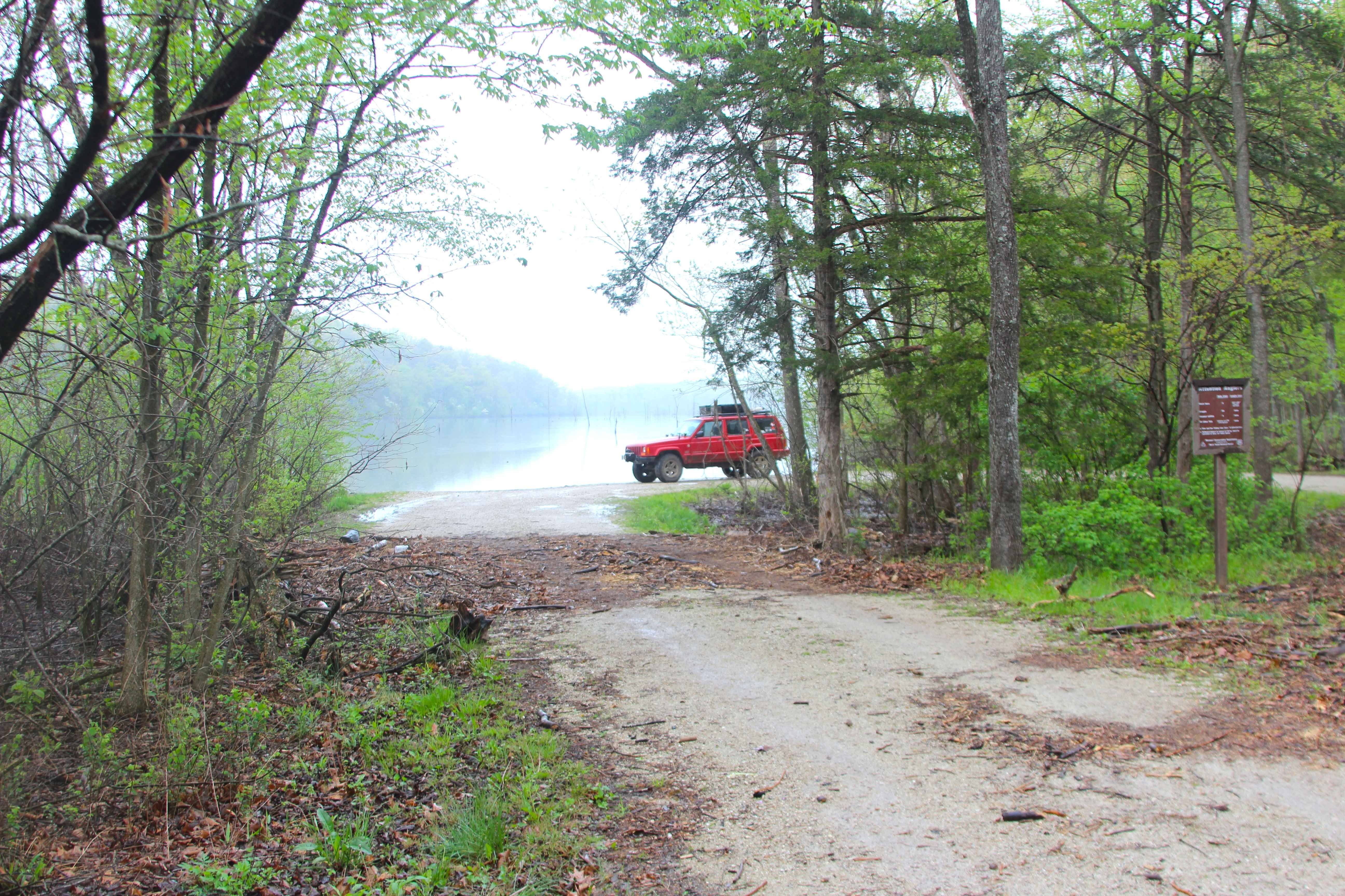
Enough Road - ICR 16 FS 2768
Total Miles
1.5
Tech Rating
Easy
Best Time
Spring, Summer, Fall, Winter
Learn more about Exchange - FS 4101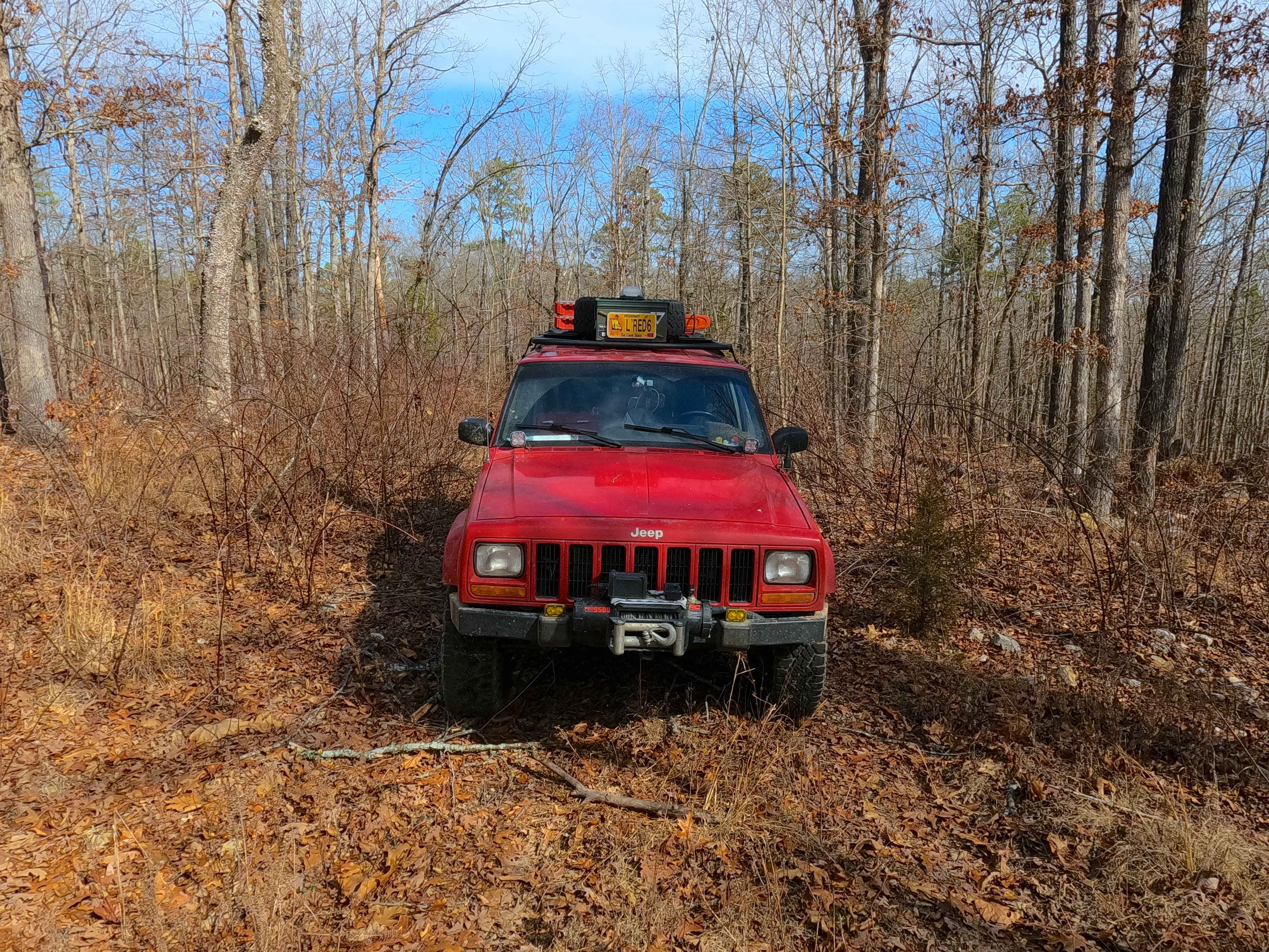
Exchange - FS 4101
Total Miles
0.5
Tech Rating
Easy
Best Time
Spring, Summer, Fall, Winter
Learn more about Explorer Hill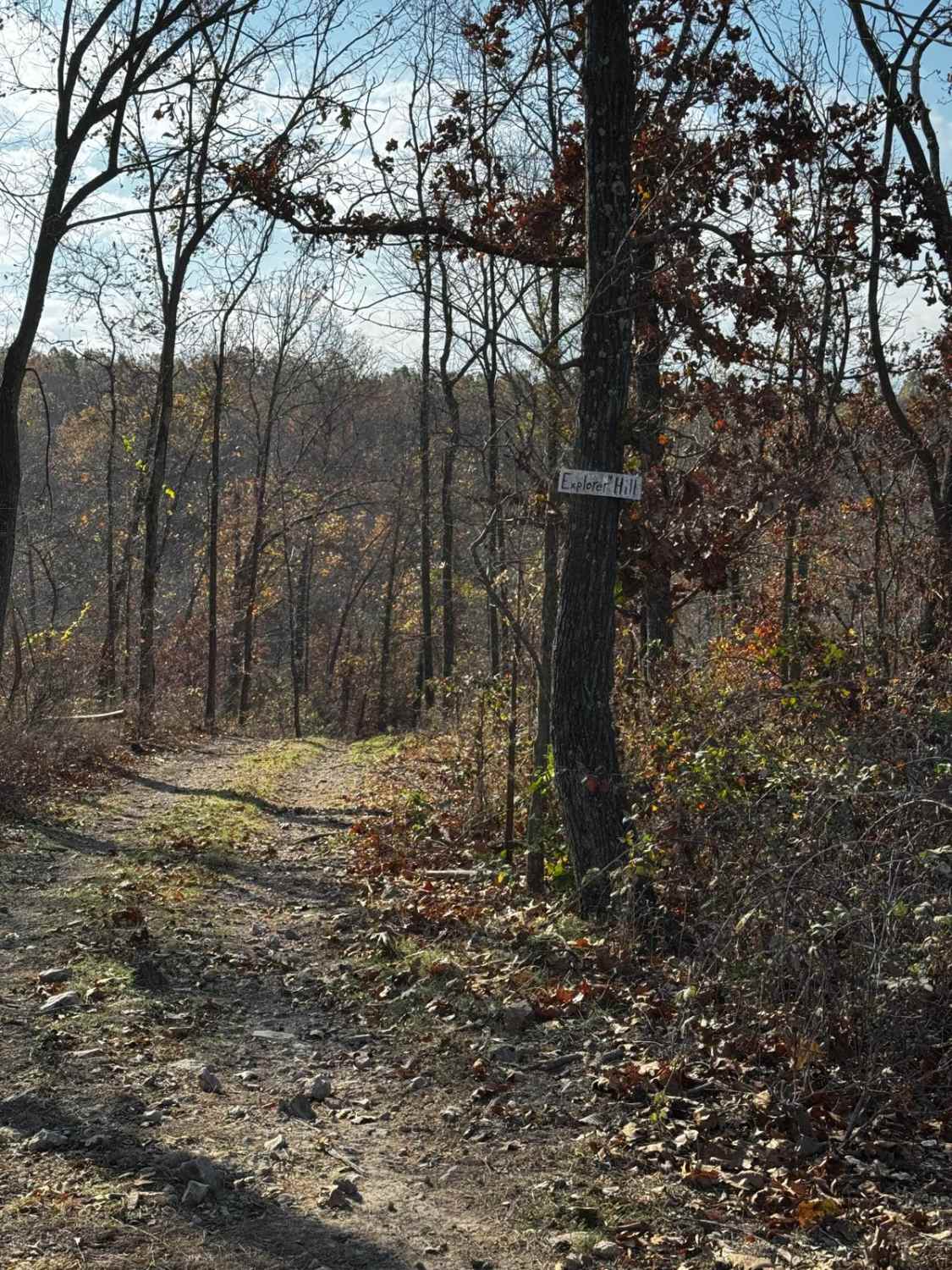
Explorer Hill
Total Miles
0.1
Tech Rating
Moderate
Best Time
Spring, Summer, Fall, Winter
Learn more about Fairview Church - FSR 170
Fairview Church - FSR 170
Total Miles
1.0
Tech Rating
Easy
Best Time
Spring, Summer, Fall, Winter
Learn more about Fairview Connection - FSR 170A
Fairview Connection - FSR 170A
Total Miles
0.9
Tech Rating
Moderate
Best Time
Spring, Summer, Fall, Winter
Learn more about Faro Tower Road FSR 2124
Faro Tower Road FSR 2124
Total Miles
1.1
Tech Rating
Easy
Best Time
Spring, Summer, Fall, Winter
Learn more about Fender Bender
Fender Bender
Total Miles
0.1
Tech Rating
Difficult
Best Time
Spring, Summer, Fall, Winter
Learn more about Finn's Muff
Finn's Muff
Total Miles
0.1
Tech Rating
Moderate
Best Time
Spring, Summer, Fall, Winter
Learn more about Flag Springs Road
Flag Springs Road
Total Miles
10.9
Tech Rating
Easy
Best Time
Spring, Summer, Fall, Winter
Learn more about Flat Ridge (FS3723)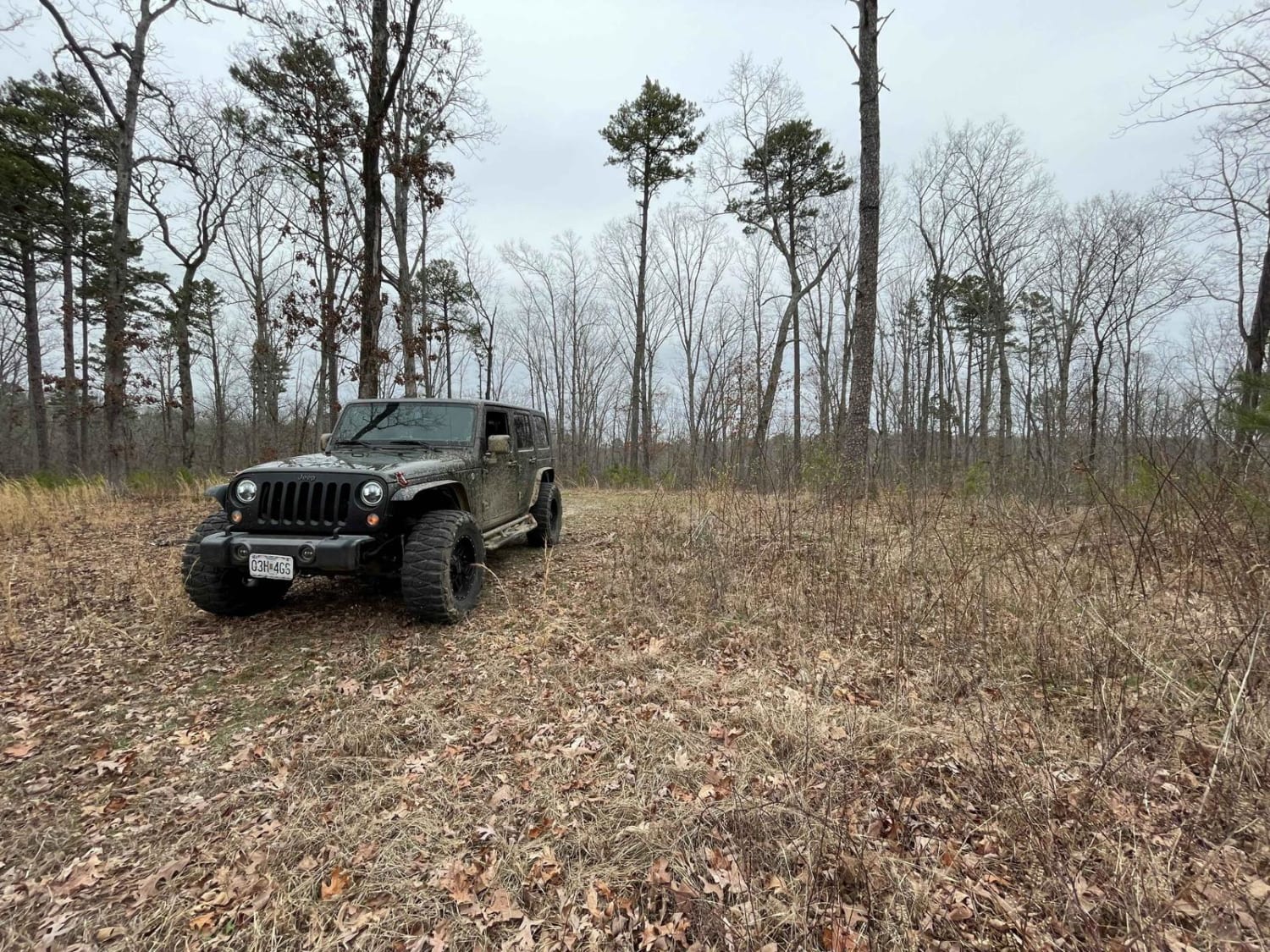
Flat Ridge (FS3723)
Total Miles
1.8
Tech Rating
Easy
Best Time
Summer, Fall, Winter
Learn more about Flat Woods Road
Flat Woods Road
Total Miles
3.2
Tech Rating
Easy
Best Time
Spring, Summer, Winter, Fall
ATV trails in Missouri


Learn more about 4 of 5
4 of 5
Total Miles
0.0
Tech Rating
Difficult
Best Time
Spring, Summer, Fall, Winter
UTV/side-by-side trails in Missouri
Learn more about 4 of 5
4 of 5
Total Miles
0.0
Tech Rating
Difficult
Best Time
Spring, Summer, Fall, Winter
The onX Offroad Difference
onX Offroad combines trail photos, descriptions, difficulty ratings, width restrictions, seasonality, and more in a user-friendly interface. Available on all devices, with offline access and full compatibility with CarPlay and Android Auto. Discover what you’re missing today!