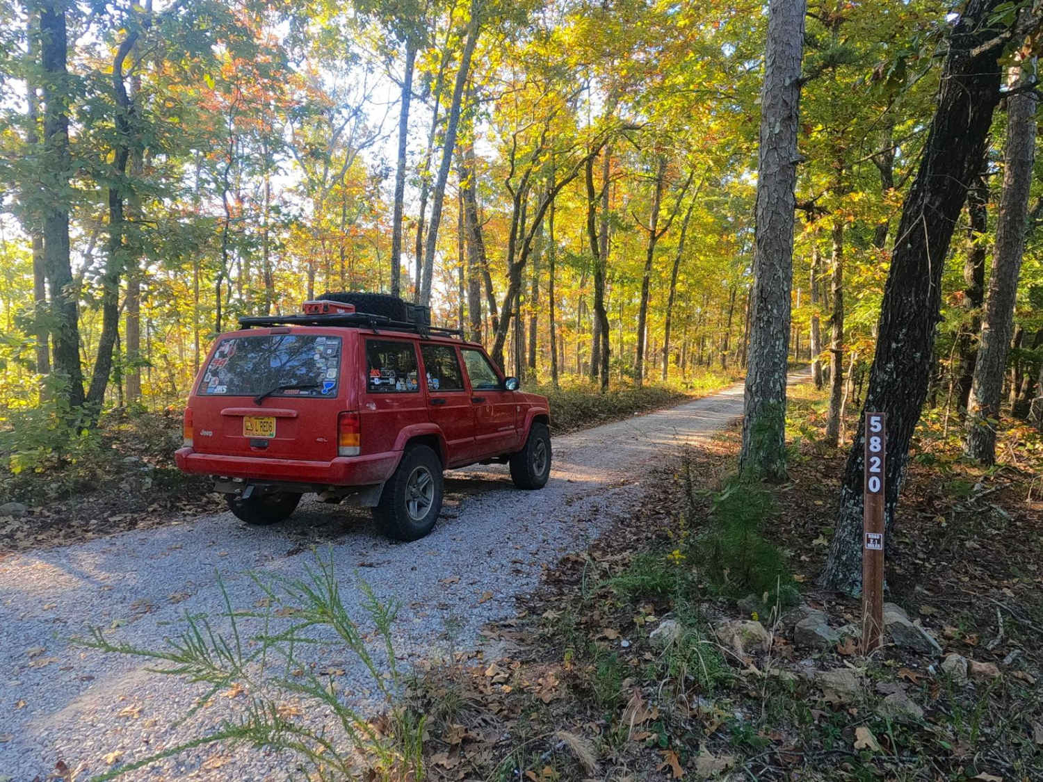
Emmatrude - FS 5820
Total Miles
1.6
Technical Rating
Best Time
Spring, Summer, Fall, Winter
Trail Type
Full-Width Road
Accessible By
Trail Overview
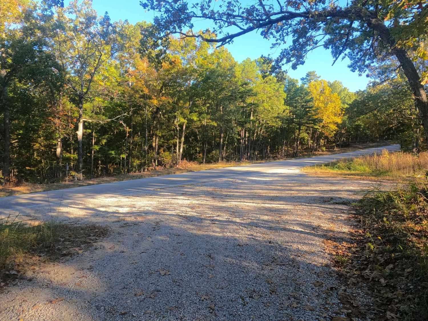
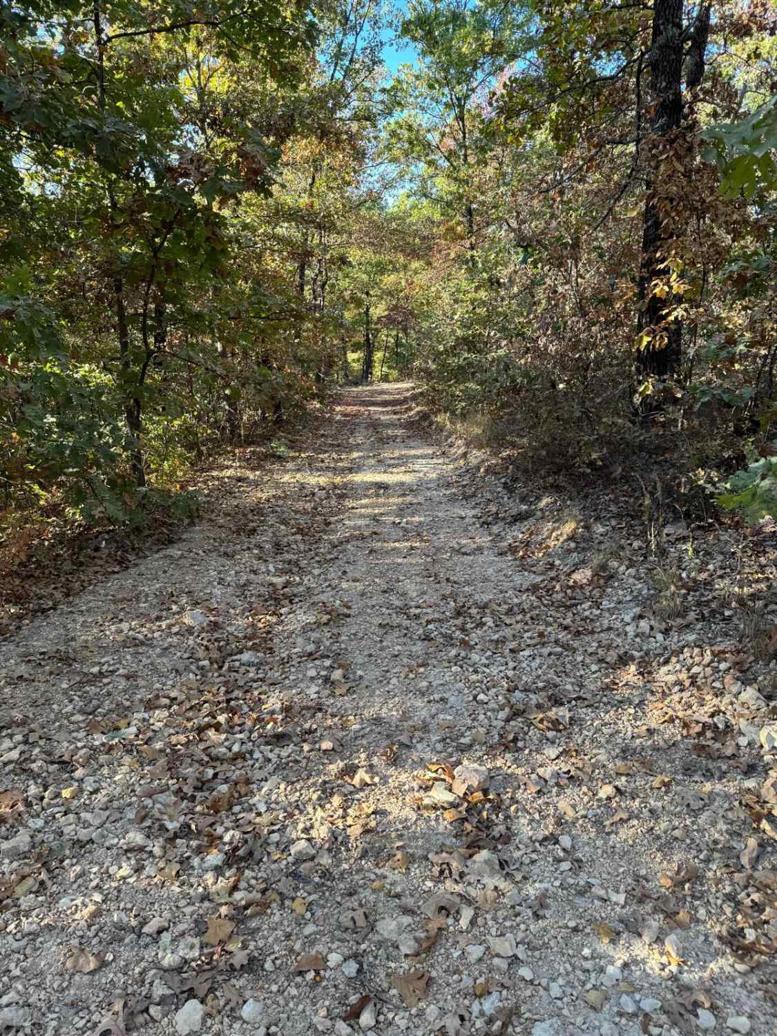
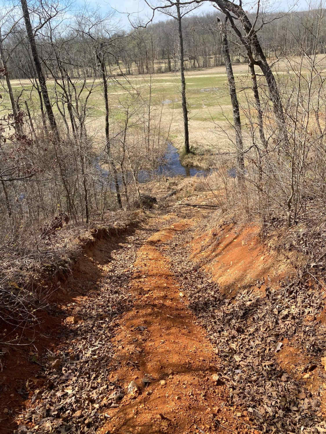
Emmatrude FS 5820, also known as Kneibert Spring, is a gravel road within the Mark Twain National Forest Poplar Bluff Unit. The road features a ridge-top entry, leading to the valley below, featuring well-maintained gravel on the flat portions, with mild forms of erosion and coarser rock on the moderate grade that is in between the valley and ridge-top. In 2023 the trail was forested removing it of the thick shortleaf pine that Mark Twain typically is known for having, but give it time, they will be back as saplings are already coming back. The real treat of the FS 5820 is what is at its southern endpoint, the historically preserved Kneibert Spring, an active class 4 magnitude water spring, pumping 49-296 gallons per minute, then surrounded by the ruins of an old homestead, with a rock bridge leading over the spring stream ultimately to the spring pool, and when continuing south has a walking path leading to the tiered yucca beds and stairs leading to the top pathway, from here the house existed to the west, and the path goes further south to the first retention wall in the stream that is just before the large spring pool leaning towards a pond. At one point there was a bridge that crossed from the current turnaround endpoint to the road (now strictly a walking-only path) along the large collection pool, please do not attempt crossing into this area with anything more than walking on foot, and leave the site as found or better than it was, do not alter or remove anything within the ruins of the spring and homestead, volunteer efforts with the Forest Service on site are conducted to preserve it as it stands, allow these efforts to do any major work needing to be done, call Mark Twain NF Poplar Bluff / Doniphan Heritage Team if concerns for the site arise.
Photos of Emmatrude - FS 5820
Difficulty
The FS 5820 is simple given a base rating of 1/10, featuring only 1 main mild grade down into the valley bottom where the spring rests, this can feature mild erosion and does have coarse natural rock and gravel in this section, whereas the rest of the flatter sections have smaller 1-inch maintained chat gravel. There are also a few spots the road has mild ramps or dips, that are used to channel rainwater off the road or downhill, but these don't pose any major swing in difficulty in normal conditions. The road should be expected to have washboarding, potholes, and mounding of the gravel. In rare instances, there could be spots where the road has progressive erosion channels or gravel fading to dirt, in wet conditions being surface mud or soft spots, in these instances the uphill grade could lean towards a 2/10 rating, requiring 4WD for smooth traction and safe travel.
History
The public information about Kneibert Spring is minimal, but more info is known by the former homestead owner, Dr. Fred Kneibert, who was a Doctor in the area. When searching by his name you find more info like the name of the property this trail and the spring rest on were known as "Lake Valley Farm". A unique event during Kneibert's ownership was when the Lake/rearing ponds were used to grow over 1000 Bass minnows for a summer to then be transported to local rivers and streams to restock the Bass population, some of the minnows grew to be 10" in length at the time of transfer. Interestingly Missouri Department of Natural Resources has this location listed as Lord Spring in its GIS map of water springs in the state, perhaps this points to more history dating before Dr Kneibert owned the land. Mark Twain's Heritage Team gave us the following, "The land was acquired by the Forest Service in 1968 from Dr. Fred Kneibert, a prominent doctor in the region. The site is approximately 26 acres, of which 9 consist of Emmatrude Lake (now primarily an open grassy wetland). According to the GLO database, the first patent (320 acres) was given to Jesse Criddle on January 3, 1856. The 1939 historic aerial shows four concentrated areas with features located around the lake. The residential area, silo (with two other features), lake dam, and a few more concrete features are located on the east side of the lake. A large fishery pond appeared later in the 1955 historic aerial and was added much later to the original construction of the lake. The site was likely constructed around the 1930s (early 20th century), potentially earlier. The lake was fed by Kniebert Spring, but sometime before 1955, the dam started to fail. At this point, the dam has completely failed and the "lake" drains faster than the spring fills." In 2023 a local stewardship group by the name of Heartland Trail Trash (with aid from OnX Offroad and direction/approval of Mark Twain Heritage) began an annual preservation and maintenance clean-up at the Spring site, roughly to be hosted in mid-October every year. The October 19th, 2024 clean-up yielded the Kneibert family's attention and may yield some more history of the Kneibert Spring's past being uncovered and brought back to light. Another example of how OnX Offroad is actively trying to bring the user base info and details only boots on the ground can achieve.
Emmatrude - FS 5820 can be accessed by the following ride types:
- High-Clearance 4x4
- SUV
Emmatrude - FS 5820 Map
Popular Trails
Criswell - FS 2248
Yellow 46
Commitment Hill Climb 3

Trifecta of Trouble Hill 55
The onX Offroad Difference
onX Offroad combines trail photos, descriptions, difficulty ratings, width restrictions, seasonality, and more in a user-friendly interface. Available on all devices, with offline access and full compatibility with CarPlay and Android Auto. Discover what you’re missing today!