Off-Road Trails in Missouri
Discover off-road trails in Missouri
Learn more about Dafron Branch Trail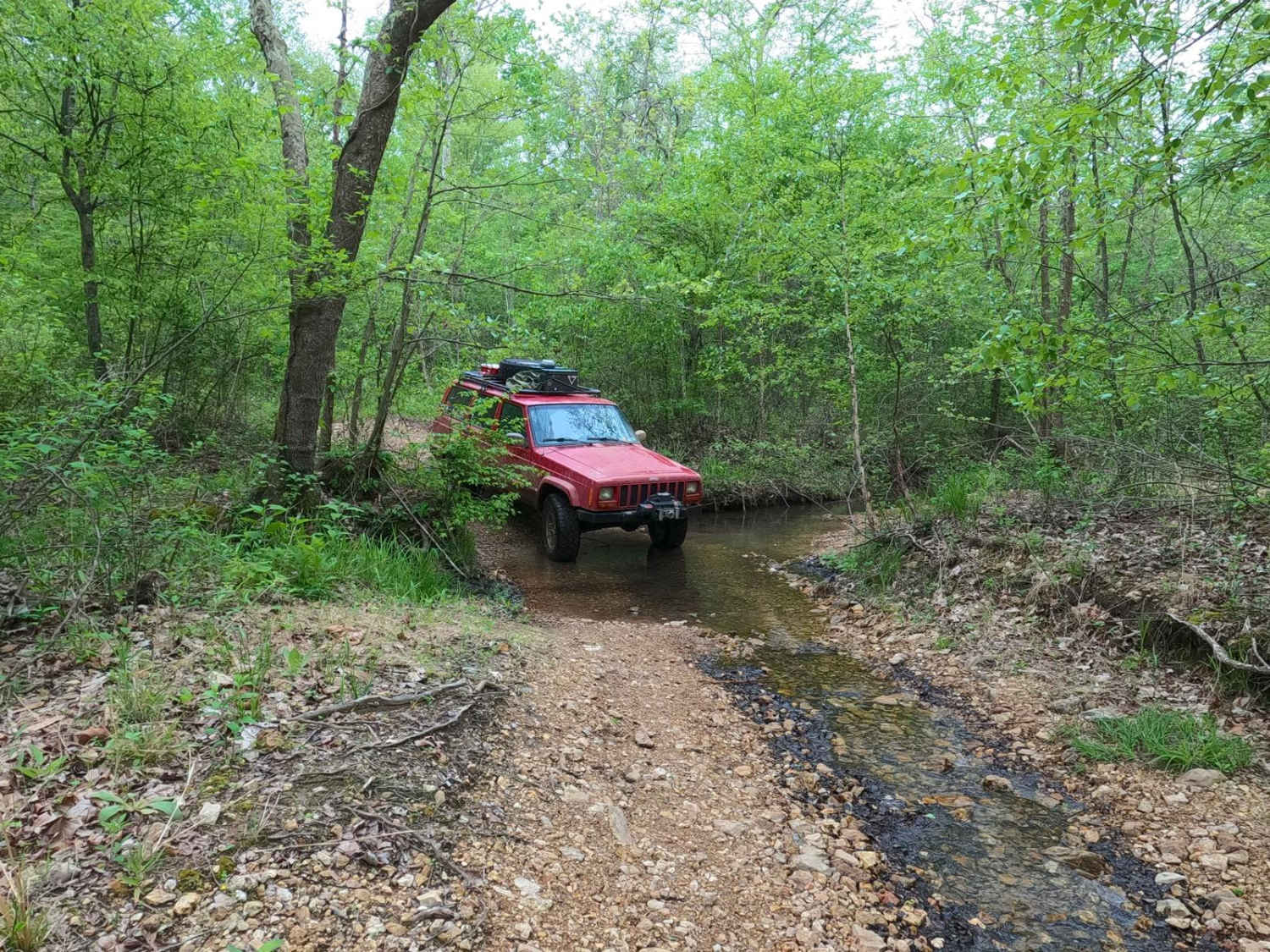
Dafron Branch Trail
Total Miles
0.8
Tech Rating
Moderate
Best Time
Spring, Summer, Fall, Winter
Learn more about Dafron Hollow Trail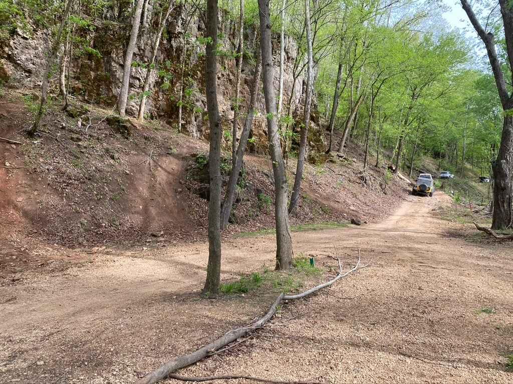
Dafron Hollow Trail
Total Miles
2.1
Tech Rating
Moderate
Best Time
Spring, Summer, Fall, Winter
Learn more about Dave's Hill 354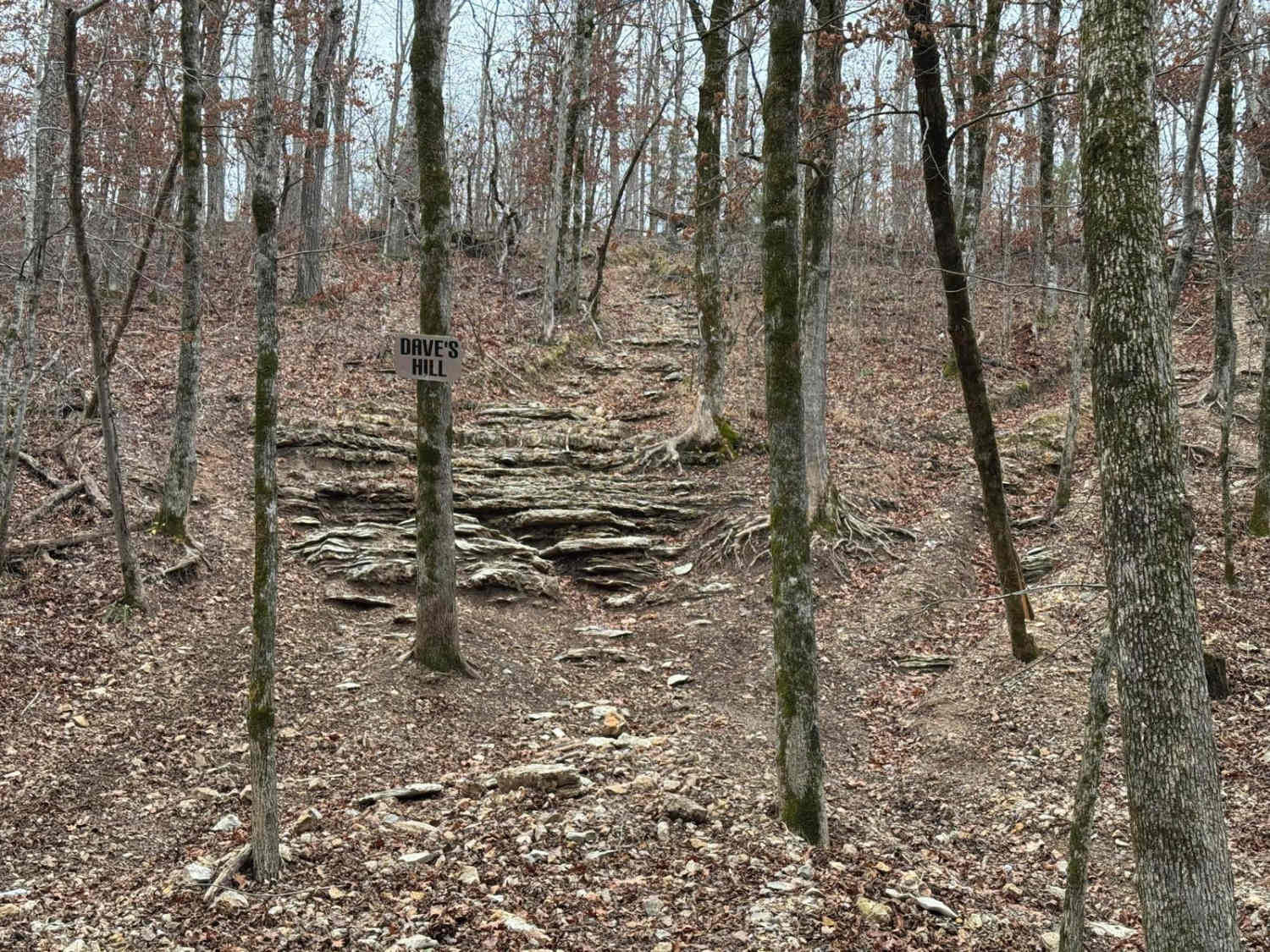
Dave's Hill 354
Total Miles
0.1
Tech Rating
Extreme
Best Time
Spring, Summer, Fall, Winter
Learn more about Deer Crossing (X)
Deer Crossing (X)
Total Miles
0.2
Tech Rating
Moderate
Best Time
Spring, Summer, Fall, Winter
Learn more about Deer Lick 
Deer Lick
Total Miles
0.2
Tech Rating
Moderate
Best Time
Spring, Summer, Fall, Winter
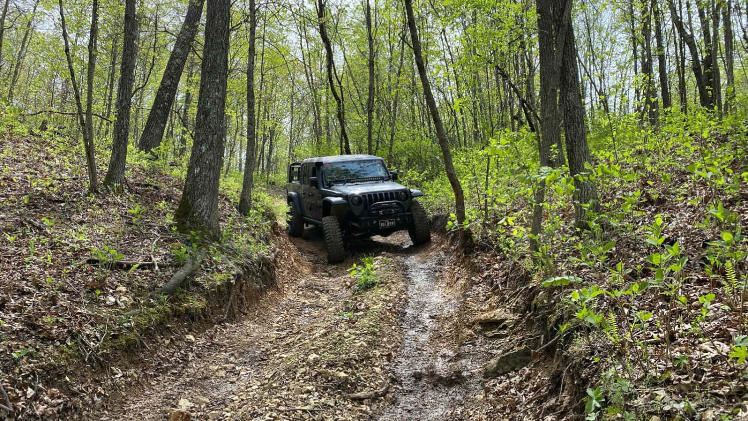
Learn more about Derecho - FS 2138
Derecho - FS 2138
Total Miles
0.9
Tech Rating
Easy
Best Time
Spring, Summer, Fall, Winter
Learn more about Devreaux Ridge Road Cave
Devreaux Ridge Road Cave
Total Miles
0.9
Tech Rating
Easy
Best Time
Spring, Summer, Fall, Winter
Learn more about Dillard Mill Road
Dillard Mill Road
Total Miles
1.8
Tech Rating
Easy
Best Time
Spring, Summer, Fall, Winter
Learn more about Dog Leg 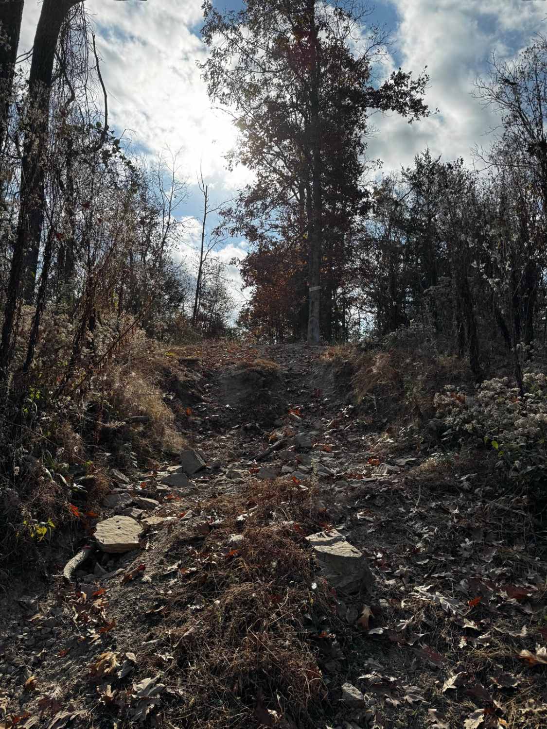
Dog Leg
Total Miles
0.0
Tech Rating
Moderate
Best Time
Spring, Summer, Fall, Winter
Learn more about Dogtrot Hollow FSR 2134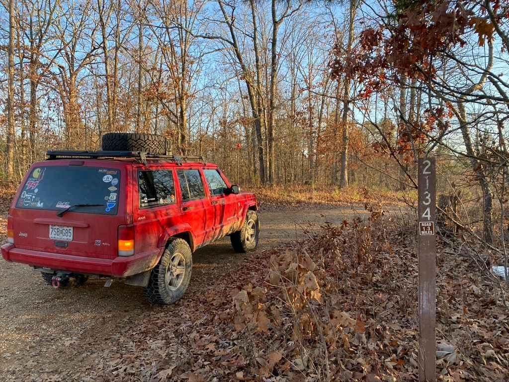
Dogtrot Hollow FSR 2134
Total Miles
1.3
Tech Rating
Easy
Best Time
Spring, Summer, Fall
Learn more about Donut Bowl 115
Donut Bowl 115
Total Miles
0.1
Tech Rating
Moderate
Best Time
Spring, Summer, Fall
Learn more about Double Diamond - 275
Double Diamond - 275
Total Miles
0.3
Tech Rating
Extreme
Best Time
Spring, Summer, Fall, Winter
Learn more about Duffy's Hollow - FS 419
Duffy's Hollow - FS 419
Total Miles
4.7
Tech Rating
Easy
Best Time
Spring, Summer, Fall, Winter
Learn more about Duffy's Hollow Spur A - FS 419A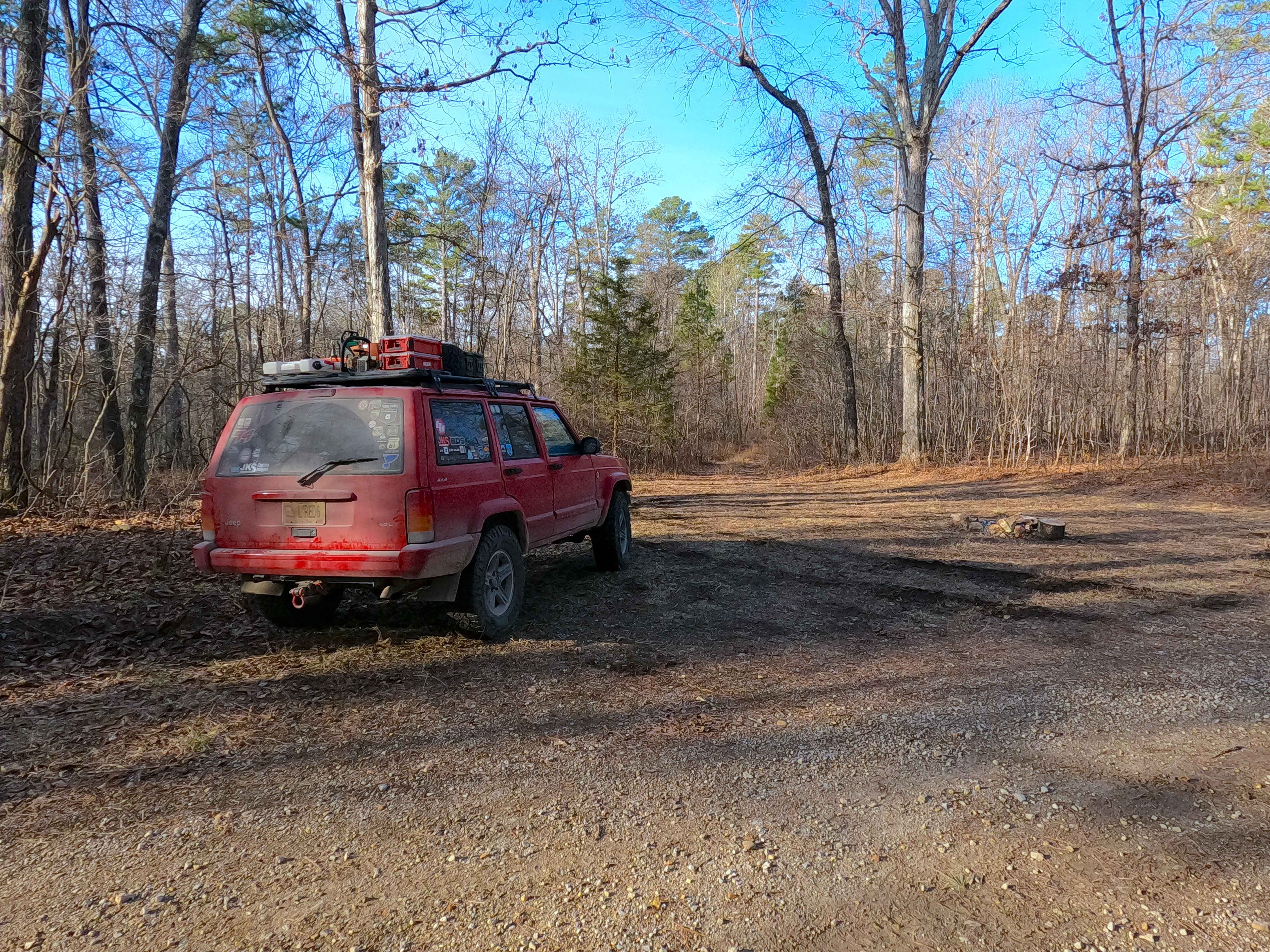
Duffy's Hollow Spur A - FS 419A
Total Miles
1.0
Tech Rating
Easy
Best Time
Spring, Summer, Fall, Winter
Learn more about Duke - FS 1755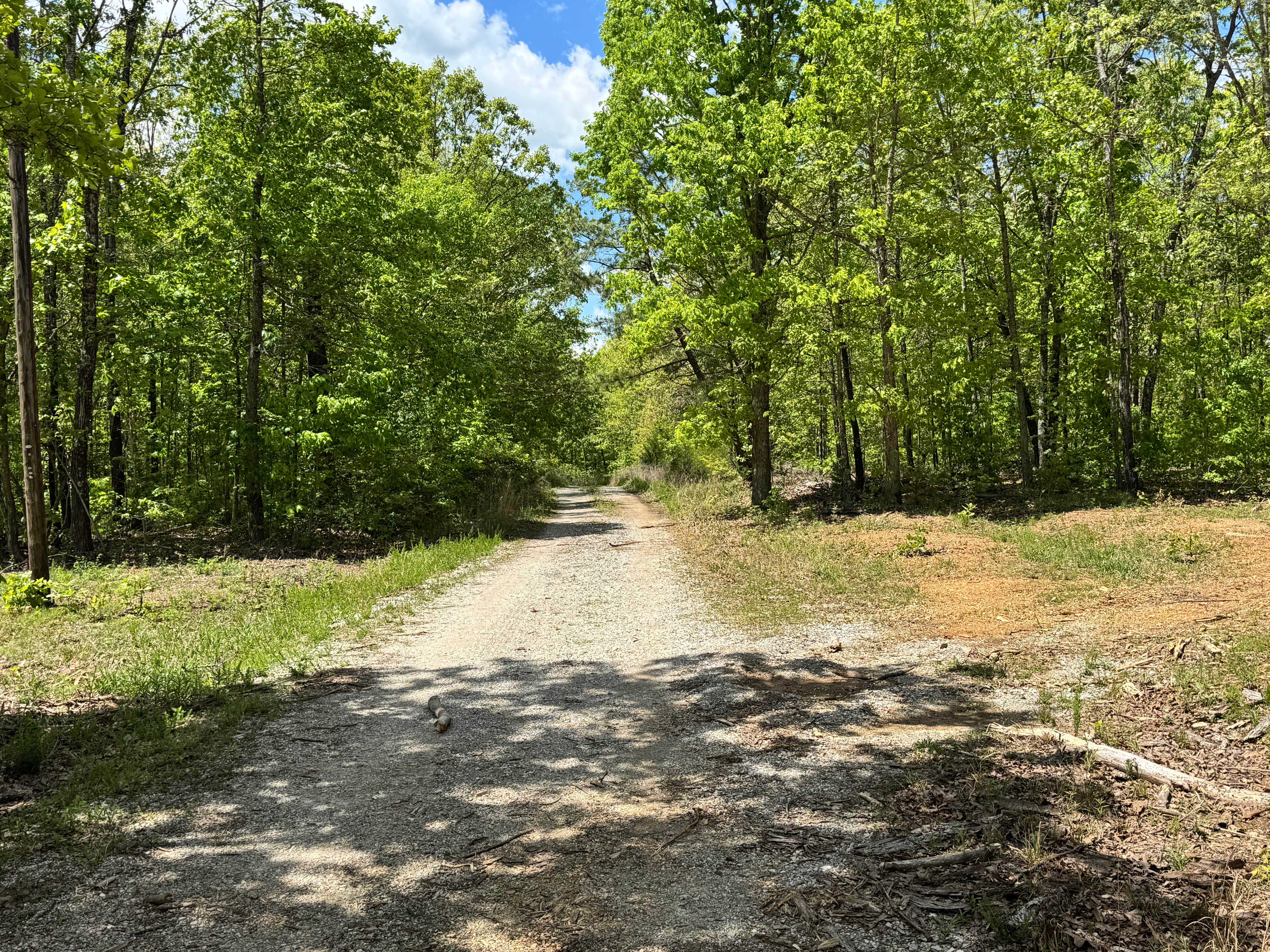
Duke - FS 1755
Total Miles
2.3
Tech Rating
Easy
Best Time
Spring, Summer, Fall, Winter
Learn more about E Obstacle
E Obstacle
Total Miles
0.2
Tech Rating
Moderate
Best Time
Spring, Summer, Fall, Winter
ATV trails in Missouri


Learn more about 4 of 5
4 of 5
Total Miles
0.0
Tech Rating
Difficult
Best Time
Spring, Summer, Fall, Winter
UTV/side-by-side trails in Missouri
Learn more about 4 of 5
4 of 5
Total Miles
0.0
Tech Rating
Difficult
Best Time
Spring, Summer, Fall, Winter
The onX Offroad Difference
onX Offroad combines trail photos, descriptions, difficulty ratings, width restrictions, seasonality, and more in a user-friendly interface. Available on all devices, with offline access and full compatibility with CarPlay and Android Auto. Discover what you’re missing today!