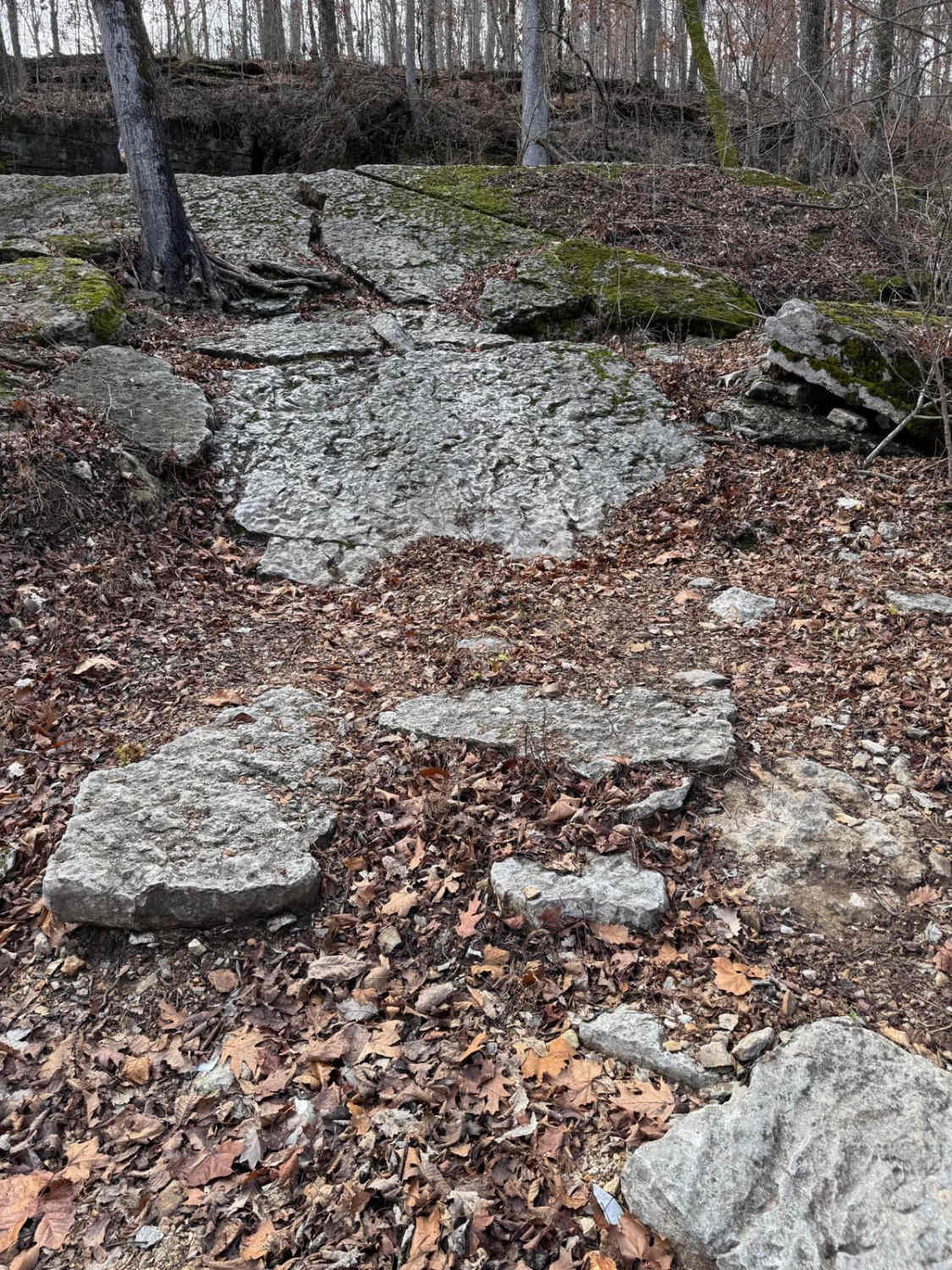
Devreaux Ridge Road Cave
Total Miles
0.9
Technical Rating
Best Time
Spring, Summer, Fall, Winter
Trail Type
Full-Width Road
Accessible By
Trail Overview
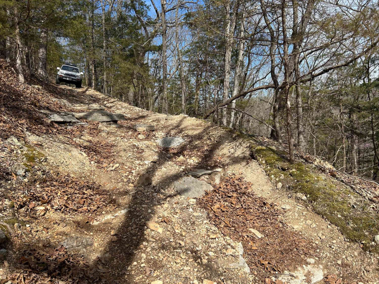
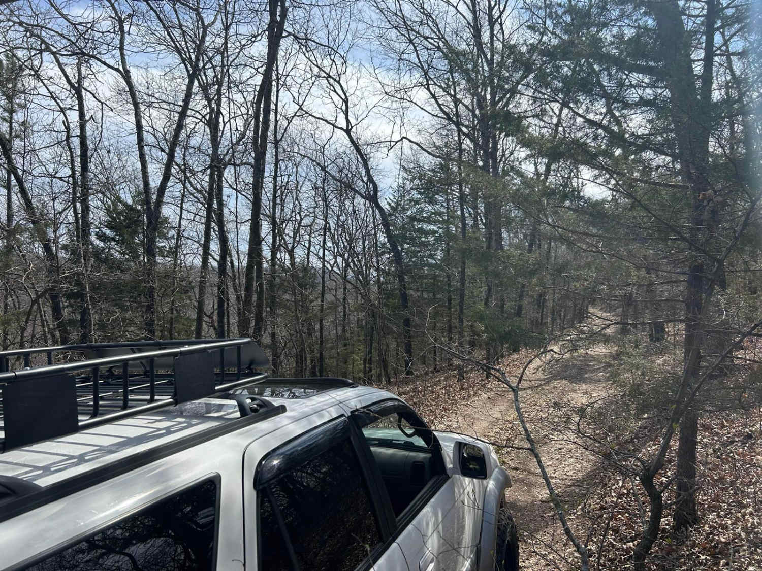
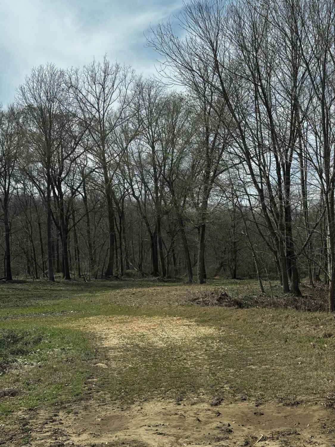
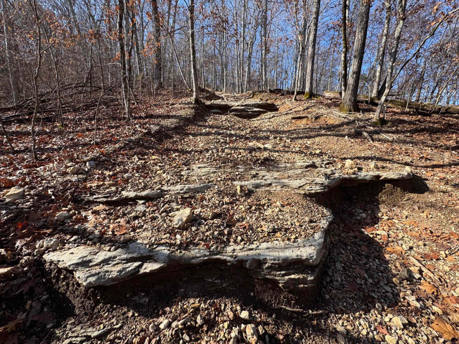
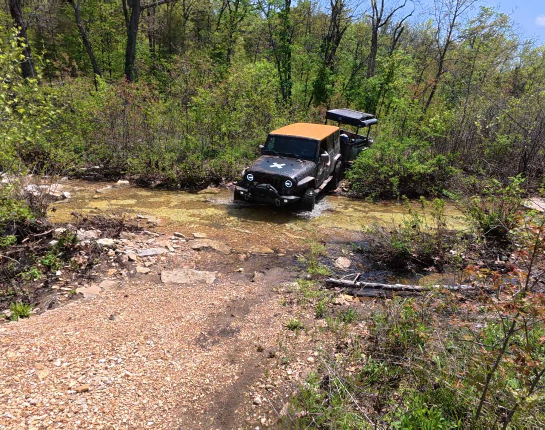
This is a short trail that branches off the Devreaux Ridge Road trail. It starts pretty smooth, but soon approaches a few drops (approximately 10 inches). It will then lead to a small cave that sits on a hill. Make sure you stop to check it out. After that, you will go through some tight turns, and a short wheelbase or small vehicle helps. The route leads to a small loop that will then head back to where you started. There is another trail that connects, but it is not yet rated and would raise the difficulty.
Photos of Devreaux Ridge Road Cave
Difficulty
In this route, you will encounter rocks that are approximately 12 inches high. There are also a few tight turns and low-hanging branches that can scratch bigger vehicles driving by. On rainy or snowy days, it can be difficult to keep traction going up or down hill with the loose dirt.
Status Reports
Devreaux Ridge Road Cave can be accessed by the following ride types:
- High-Clearance 4x4
- SUV
- SxS (60")
- ATV (50")
- Dirt Bike
Devreaux Ridge Road Cave Map
Popular Trails
Teddy & Matts Mud Pit Area
Purple 333
Racetrack Ridge
The onX Offroad Difference
onX Offroad combines trail photos, descriptions, difficulty ratings, width restrictions, seasonality, and more in a user-friendly interface. Available on all devices, with offline access and full compatibility with CarPlay and Android Auto. Discover what you’re missing today!