Off-Road Trails in Missouri
Discover off-road trails in Missouri
Learn more about Crawler Alley 23
Crawler Alley 23
Total Miles
0.4
Tech Rating
Moderate
Best Time
Summer, Spring, Fall, Winter
Learn more about Creek Bed 12
Creek Bed 12
Total Miles
1.1
Tech Rating
Easy
Best Time
Spring, Summer, Fall, Winter
Learn more about Creek Crossing
Creek Crossing
Total Miles
0.0
Tech Rating
Easy
Best Time
Spring, Summer, Fall, Winter
Learn more about Creekside
Creekside
Total Miles
0.1
Tech Rating
Easy
Best Time
Spring, Summer, Fall, Winter
Learn more about Criswell - FS 2248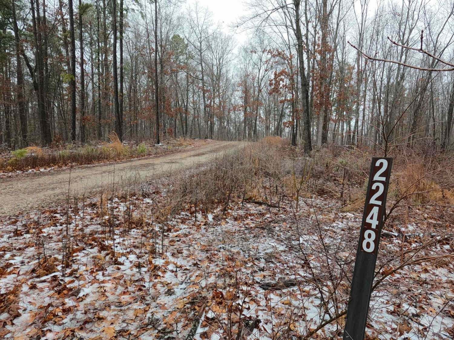
Criswell - FS 2248
Total Miles
0.9
Tech Rating
Easy
Best Time
Spring, Summer, Fall, Winter
Learn more about Critter Crossing
Critter Crossing
Total Miles
0.5
Tech Rating
Easy
Best Time
Spring, Summer, Fall, Winter
Learn more about Critter Cutoff
Critter Cutoff
Total Miles
0.1
Tech Rating
Easy
Best Time
Spring, Summer, Fall, Winter
Learn more about Crooked Tower Road
Crooked Tower Road
Total Miles
7.4
Tech Rating
Easy
Best Time
Spring, Summer, Fall, Winter
Learn more about Crooked Tree - FS 2232
Crooked Tree - FS 2232
Total Miles
0.6
Tech Rating
Easy
Best Time
Spring, Summer, Winter, Fall
Learn more about Crystal Clearing
Crystal Clearing
Total Miles
0.8
Tech Rating
Moderate
Best Time
Spring, Summer, Fall, Winter
Learn more about Cub Creek - ICR 15/FS 2391
Cub Creek - ICR 15/FS 2391
Total Miles
6.7
Tech Rating
Easy
Best Time
Spring, Summer, Fall, Winter
Learn more about Curb Rash
Curb Rash
Total Miles
0.2
Tech Rating
Moderate
Best Time
Spring, Summer, Fall, Winter
Learn more about Curb Rash Trail #1
Curb Rash Trail #1
Total Miles
0.5
Tech Rating
Moderate
Best Time
Spring, Summer, Fall, Winter
Learn more about Curb Rash Trail #2
Curb Rash Trail #2
Total Miles
0.6
Tech Rating
Easy
Best Time
Spring, Summer, Fall, Winter
Learn more about Current River Conservation Area
Current River Conservation Area
Total Miles
10.4
Tech Rating
Easy
Best Time
Spring, Summer, Fall
Learn more about Cut Off Bo-Co Road 340
Cut Off Bo-Co Road 340
Total Miles
2.8
Tech Rating
Easy
Best Time
Spring, Fall
Learn more about Cut Through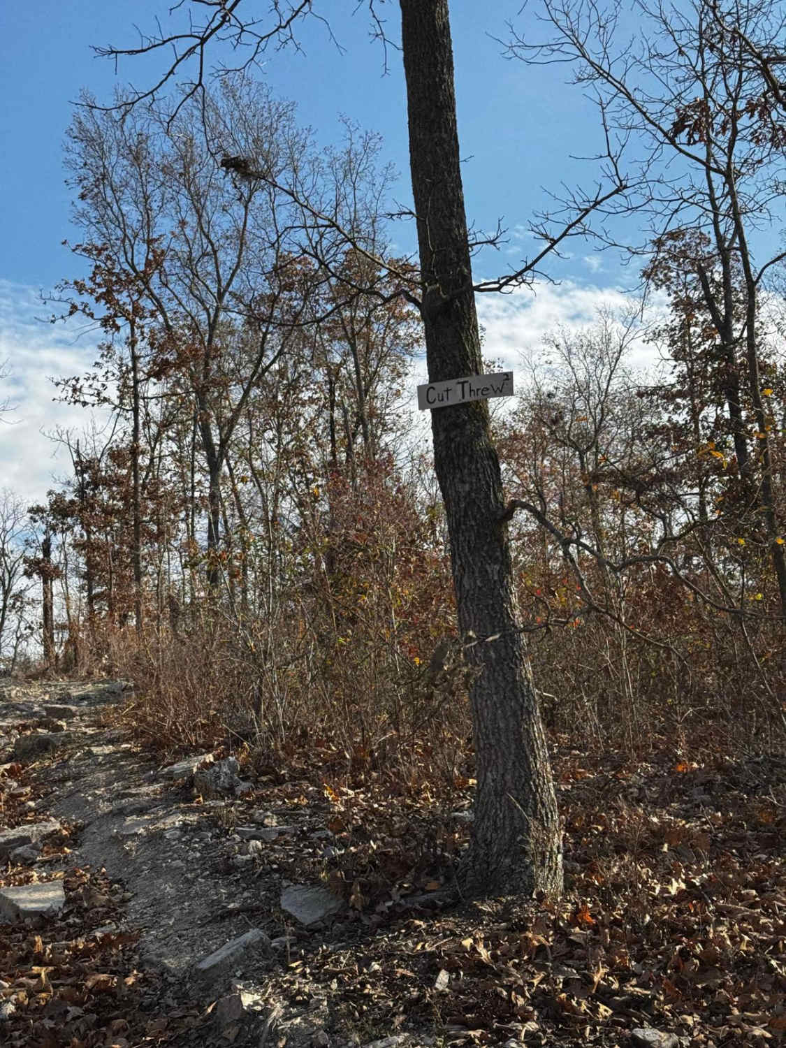
Cut Through
Total Miles
0.1
Tech Rating
Easy
Best Time
Spring, Summer, Fall, Winter
Learn more about Cyclone Road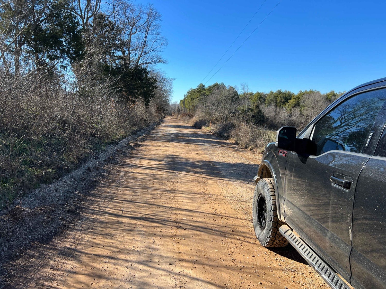
Cyclone Road
Total Miles
8.3
Tech Rating
Easy
Best Time
Spring, Summer, Fall, Winter
ATV trails in Missouri


Learn more about 4 of 5
4 of 5
Total Miles
0.0
Tech Rating
Difficult
Best Time
Spring, Summer, Fall, Winter
UTV/side-by-side trails in Missouri
Learn more about 4 of 5
4 of 5
Total Miles
0.0
Tech Rating
Difficult
Best Time
Spring, Summer, Fall, Winter
The onX Offroad Difference
onX Offroad combines trail photos, descriptions, difficulty ratings, width restrictions, seasonality, and more in a user-friendly interface. Available on all devices, with offline access and full compatibility with CarPlay and Android Auto. Discover what you’re missing today!