Cut Off Bo-Co Road 340
Total Miles
2.8
Technical Rating
Best Time
Spring, Fall
Trail Type
Full-Width Road
Accessible By
Trail Overview
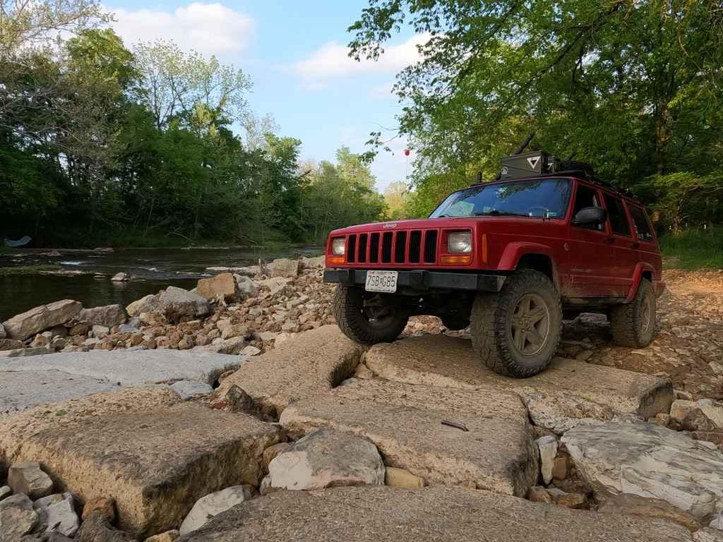
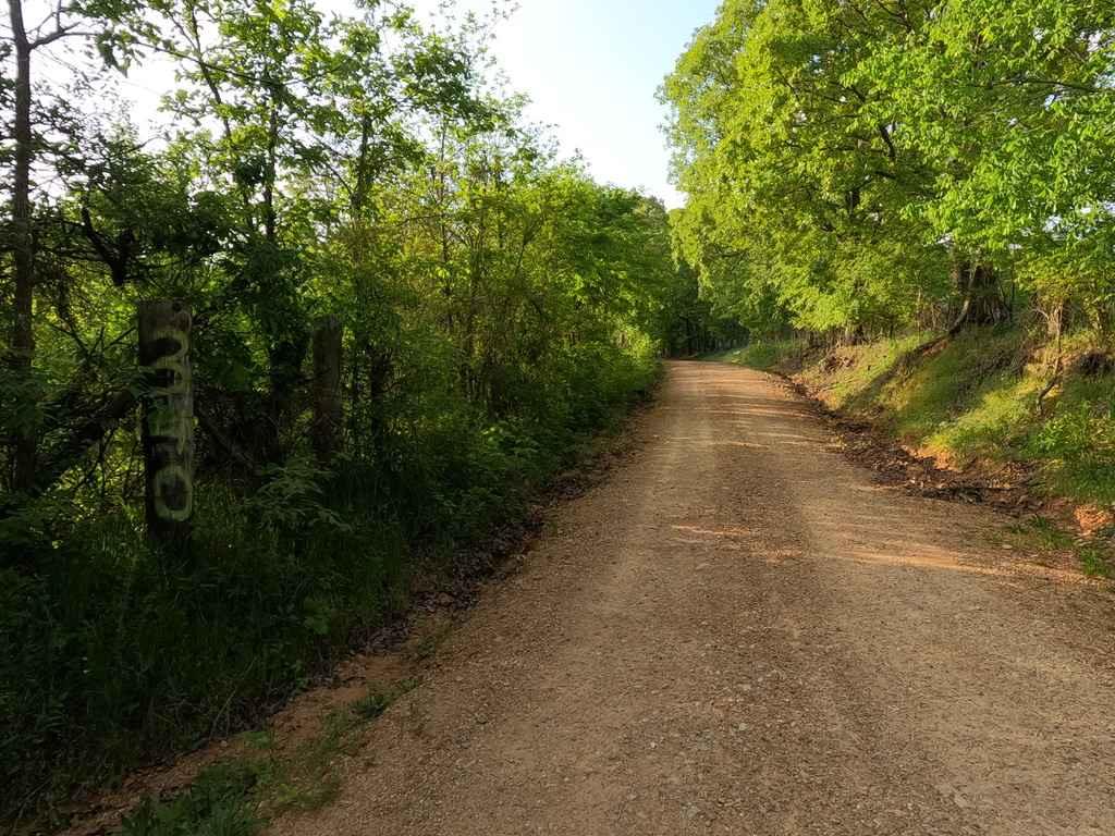
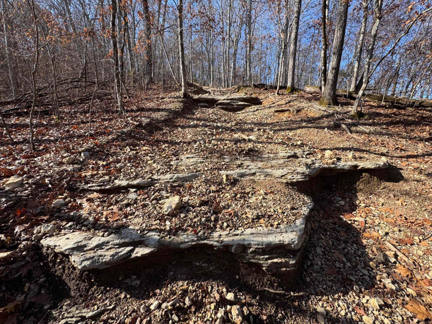
Cut Off or Bollinger County Road 340 is a gravel road that has an edge. The road on either end will shortly give you signs that it is not a typical county road, natural rock shows at the surface, lite water erosion, sections fade to dirt/mud, and potholes are prevalent. Meanwhile, the road climbs and drops several times riding the hills and tree lines of the area. In the middle section you will hit quite a few feeder creek crossings, low water bridges, and specifically a section where the road becomes very close to a creek bottom road. Amongst this, you also run into a creek bed and a rather broken low-water bridge at the Little Whitewater Creek. The south end of the bridge is like a man-made boulder field of concrete slabs mixed with natural rock all around it. Here you also have to make a sharp 90deg turn through this section to get on the bridge (sometimes this section is washed out and sometimes it is fixed by the locals by moving rock with a tractor, just depends on the rain and how bad the creek washes).
Photos of Cut Off Bo-Co Road 340
Difficulty
The center section is the most difficult and in typical Bo-Co fashion is dependent on the rain, the more rain and water in the area running into the bottoms the more difficult. Also, a depending factor of this trail is if the bridge has been mended for the time being or not, the locals fix it by layering creek bed gravel back over the broken concrete slabs until the next big rain comes and washes it away again. If it is washed away you can expect to climb over multiple 6"-18" tall slabs to get onto the good section of the low water bridge, since this is on a hard 90deg turn you have to make sure you don't drive off the edge of the low water bridge and fall into the creek on the other side, takes a little thought, especially with smaller tires and lift making you place tires in specific spots to make it over the obstacle, you may have to back up after you get up the first slab and do a multi-point turn to make it safely up the edge of the low water bridge. If water is high enough to be level with or over the bridge at Little Whitewater Creek, I would suggest not doing this section and coming back when the water is low, due to the nature of how this bridge drops on either side and having even larger obstacles to get hung on if not able to calculate where the sharp turn is at the end of the bridge. The creek rock bed at this bridge is also very soft and could lead to sinking into the gravel if momentum is not kept. Outside of this section, you can expect sections where the road fades to mild dirt/mud, smaller water crossings roughly 6-12" deep, deeper potholes, mild graded hills, washboarding, and mounding throughout.
History
Locally this road has been referred to as "Cut Off", due to it's placement connecting between the Hartle Ford Road and the Reynolds Ford Road. This name is supposedly older than the road numbers now in use.
Status Reports
Cut Off Bo-Co Road 340 can be accessed by the following ride types:
- High-Clearance 4x4
- SUV
Cut Off Bo-Co Road 340 Map
Popular Trails

Yellow 154

Yellow 47

Greasy Lane
The onX Offroad Difference
onX Offroad combines trail photos, descriptions, difficulty ratings, width restrictions, seasonality, and more in a user-friendly interface. Available on all devices, with offline access and full compatibility with CarPlay and Android Auto. Discover what you’re missing today!