Crooked Tower Road
Total Miles
7.4
Technical Rating
Best Time
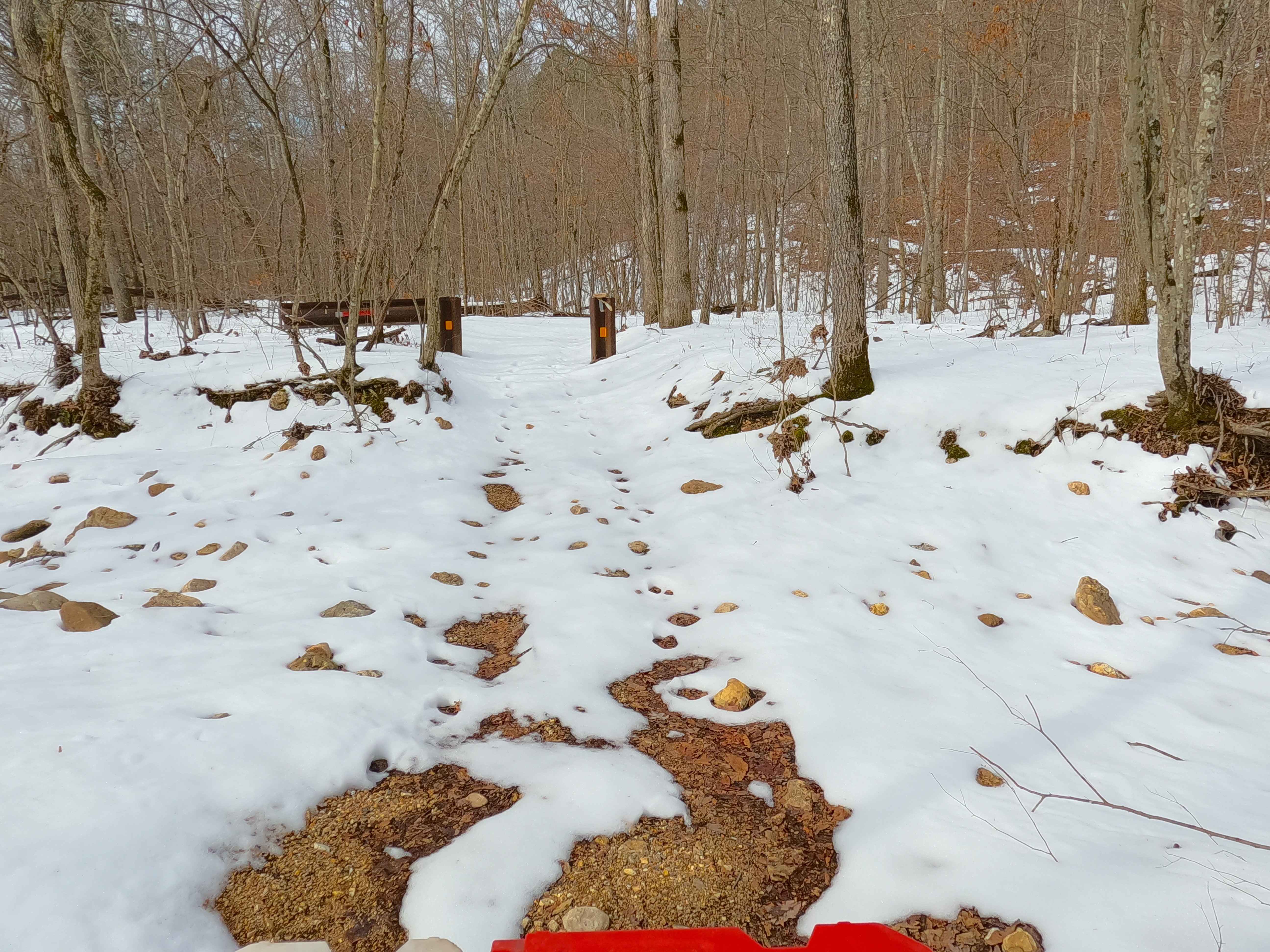
Spring, Summer, Fall, Winter
Trail Type
Full-Width Road
Accessible By
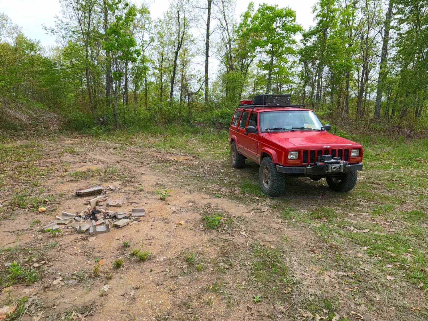
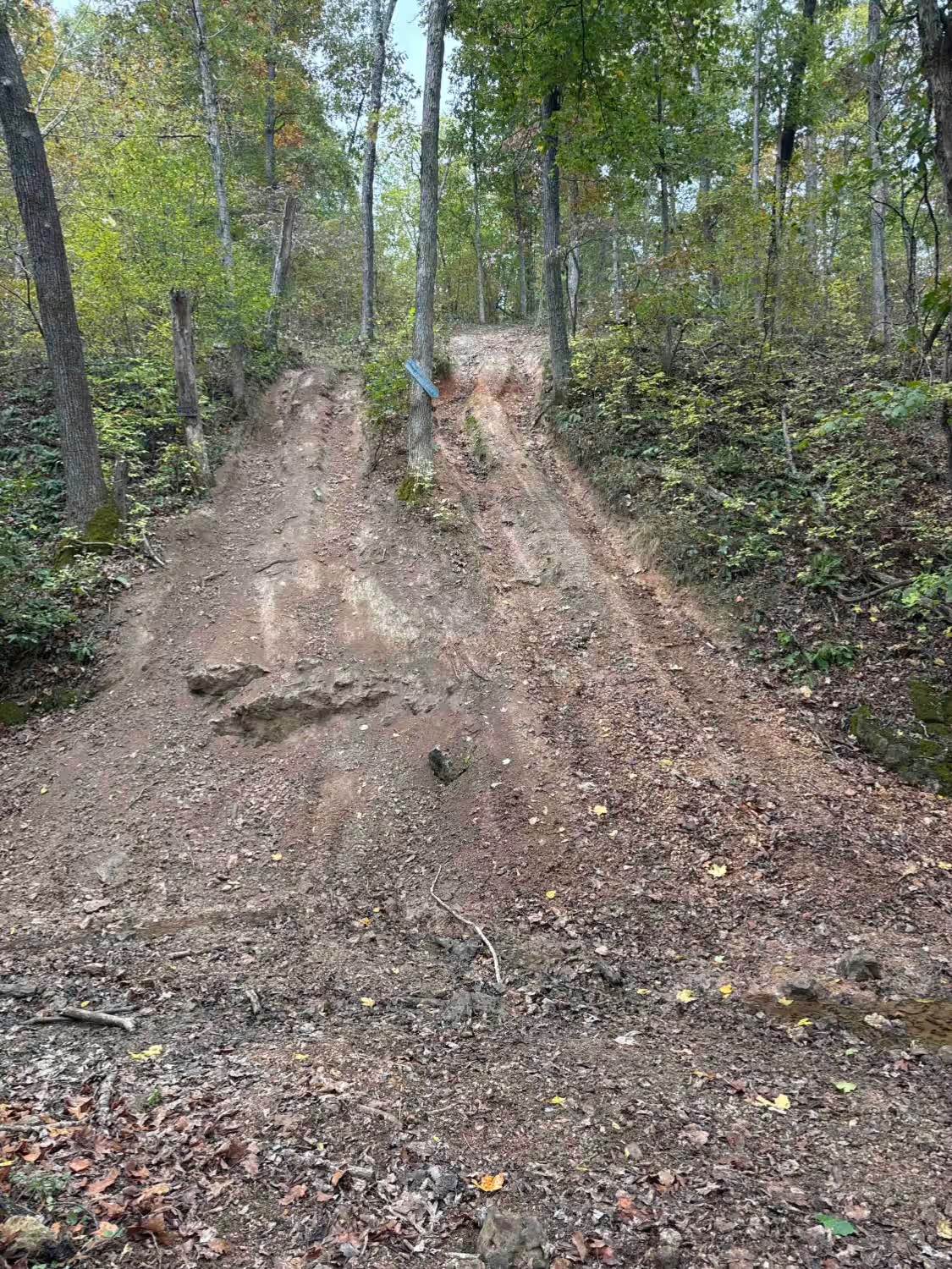
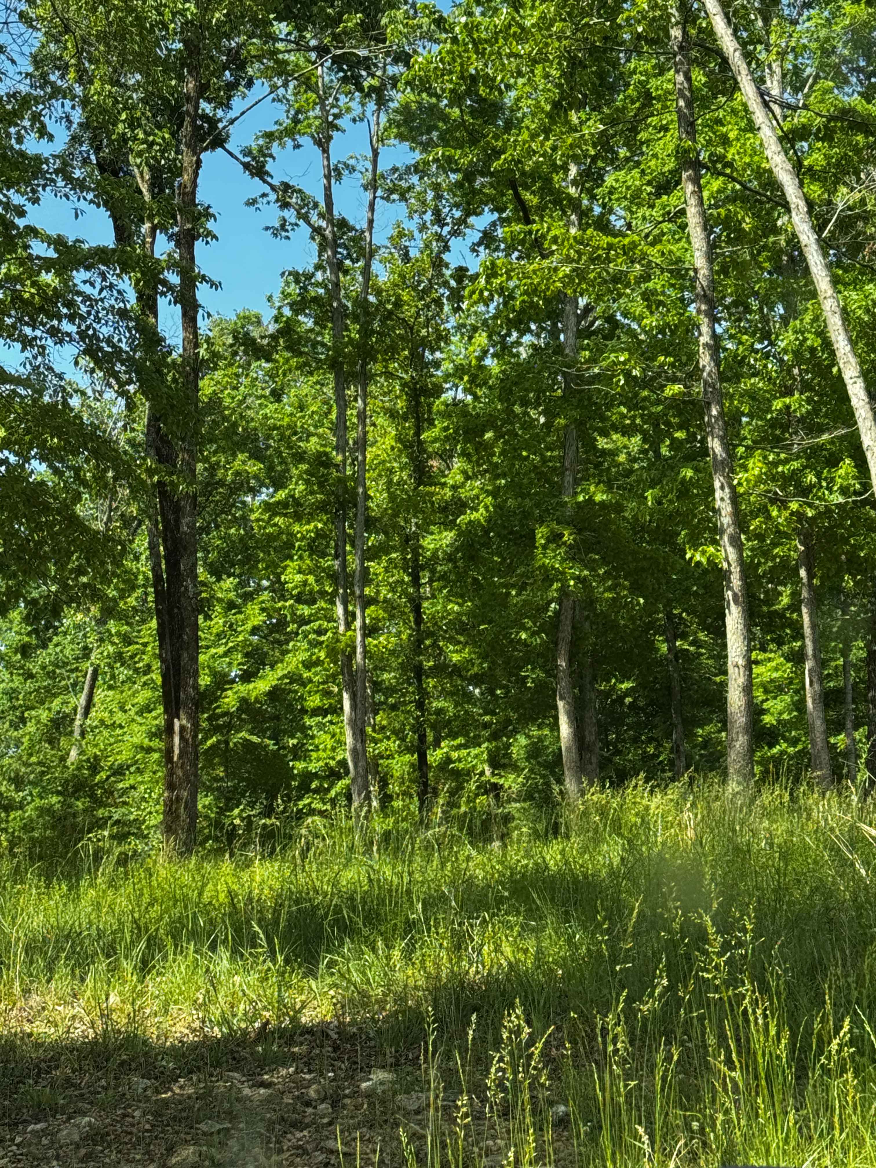
Trail Overview
Crooked Tower Road, is a maintained gravel road composed of ownership under two agencies, one is the most of northern/east section owned by Crawford County, and the southern section going to the Dent County line is owned by Mark Twain National Forest within the Salem Unit, under the identity Crooked Tower FS 2257. The road ultimately runs the ripples of the ridge top, and gets its name from Crooked Creek and its branches that neighbor in the valleys to the west. The road serves as a scenic road featuring a healthy variety of trees and other foliage, but shines in the logistical department, connecting several other county roads and FS roads along its track, but also hosts the former Crooked Tower, on Crooked Hill at 37.7152, -91.27568, but by the 1980's was removed, the ruins of the garage, sewer, and well can still be seen at the site. Mid track at 37.73574, -91.274, the road also crosses the former railbed/trunkline of the Sligo & Eastern Railroad that existed from roughly 1880-1930. Crooked Tower offers a great place to hunt, camp, and explore small historical sites, which invites further exploration down the roads that branch off from it, leading to deeper historic rabbit holes.
Photos of Crooked Tower Road

Difficulty
Crooked Tower Road is given a base rating of 1/10, being a wide, maintained gravel road, only having occasional soft spots, going over flowing short hills making up the spines of the ridge line. It is safe to expect all the normal gravel road complications of washboards, mounding, and potholes. The difficulty could increase due to a lack of maintenance or extreme wet and inclement conditions.
History
Fittingly named after the Crooked Creek, Crooked Hill, the later Crooked Tower followed the naming scheme, out of locality, not that it was leaning or crooked in the sense of structure. The then Clark National Forest had the tower built, and was completed by May 27, 1937, with a later addition of "a 3-room dwelling, a one-car garage and a cistern" according to the The Salem Post and The Democrat-Bulletin. An exact demise date is unknown, but by using old maps noting the towers location by name, this likely happened between 1971, when it was last noted, and in 1980, when the notation went away. The Sligo & Eastern Railway also had its history with Crooked Tower Road, perhaps before the road existed, between 1880-1930, the former rail line crossed the modern-day path of the road at 37.73574, -91.274, where the treeline still suggests the train cut through. For greater depth of the Sligo & Eastern history in the area, go to the history section of James Branch - FS 2741.
Status Reports
Crooked Tower Road can be accessed by the following ride types:
- High-Clearance 4x4
- SUV
Crooked Tower Road Map
Popular Trails

Purple 319
Stocky No Locky
Sutton Bluff ATV 8 West - SB 8
The onX Offroad Difference
onX Offroad combines trail photos, descriptions, difficulty ratings, width restrictions, seasonality, and more in a user-friendly interface. Available on all devices, with offline access and full compatibility with CarPlay and Android Auto. Discover what you’re missing today!