Off-Road Trails in Missouri
Discover off-road trails in Missouri
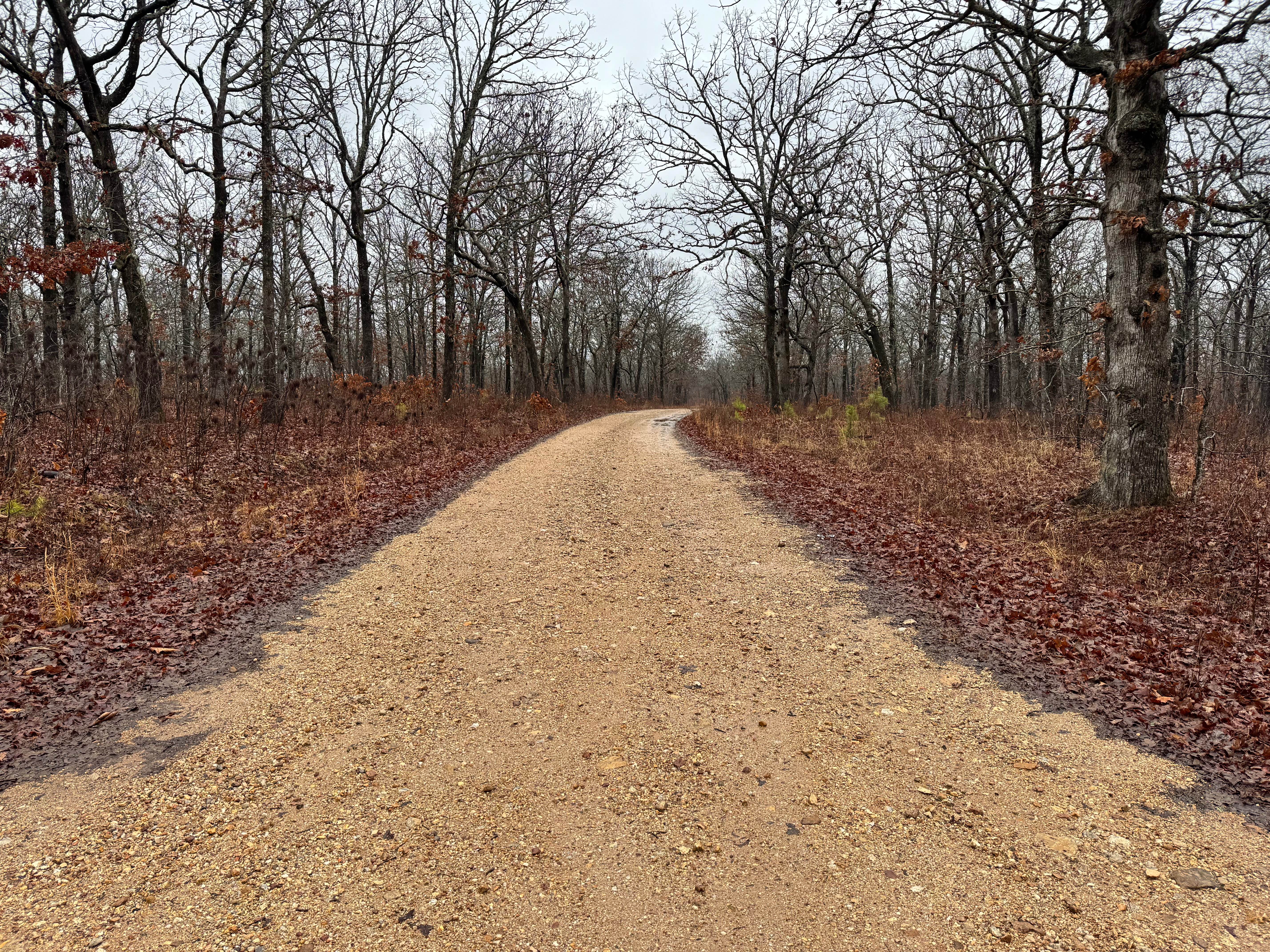
Learn more about Flatwoods School (FS3119)
Flatwoods School (FS3119)
Total Miles
2.6
Tech Rating
Easy
Best Time
Summer, Fall, Winter
Learn more about Flatwoods Spur B - FS 2438B
Flatwoods Spur B - FS 2438B
Total Miles
1.4
Tech Rating
Easy
Best Time
Spring, Summer, Fall, Winter
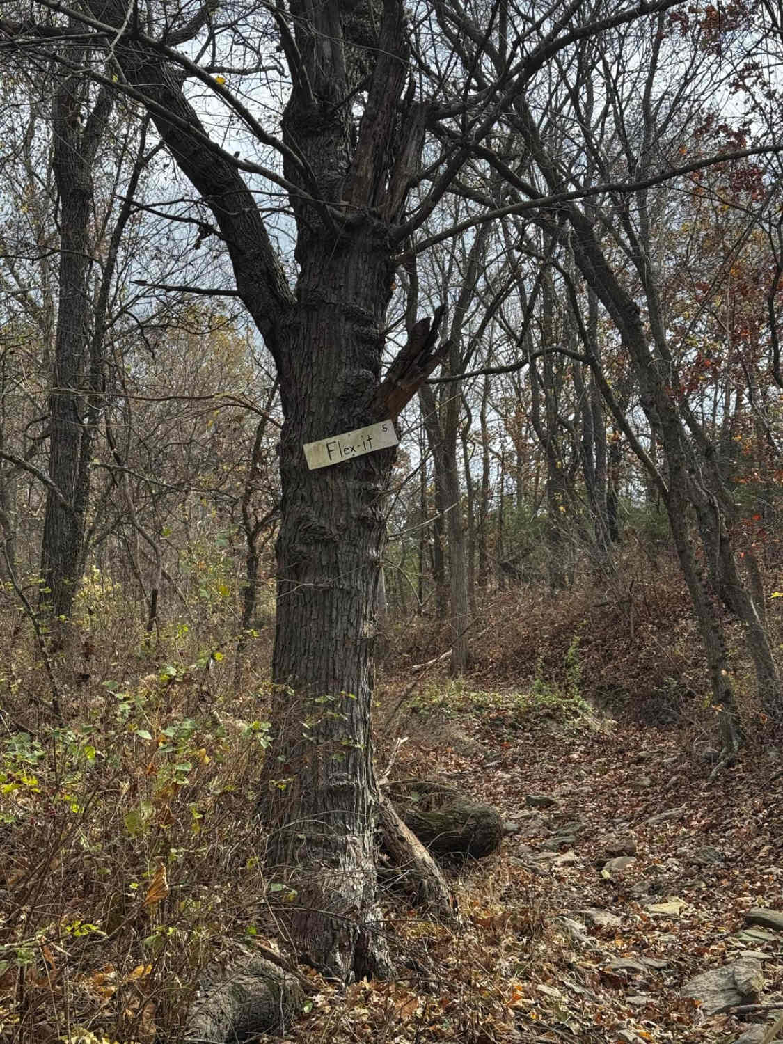
Learn more about Flex N Stuff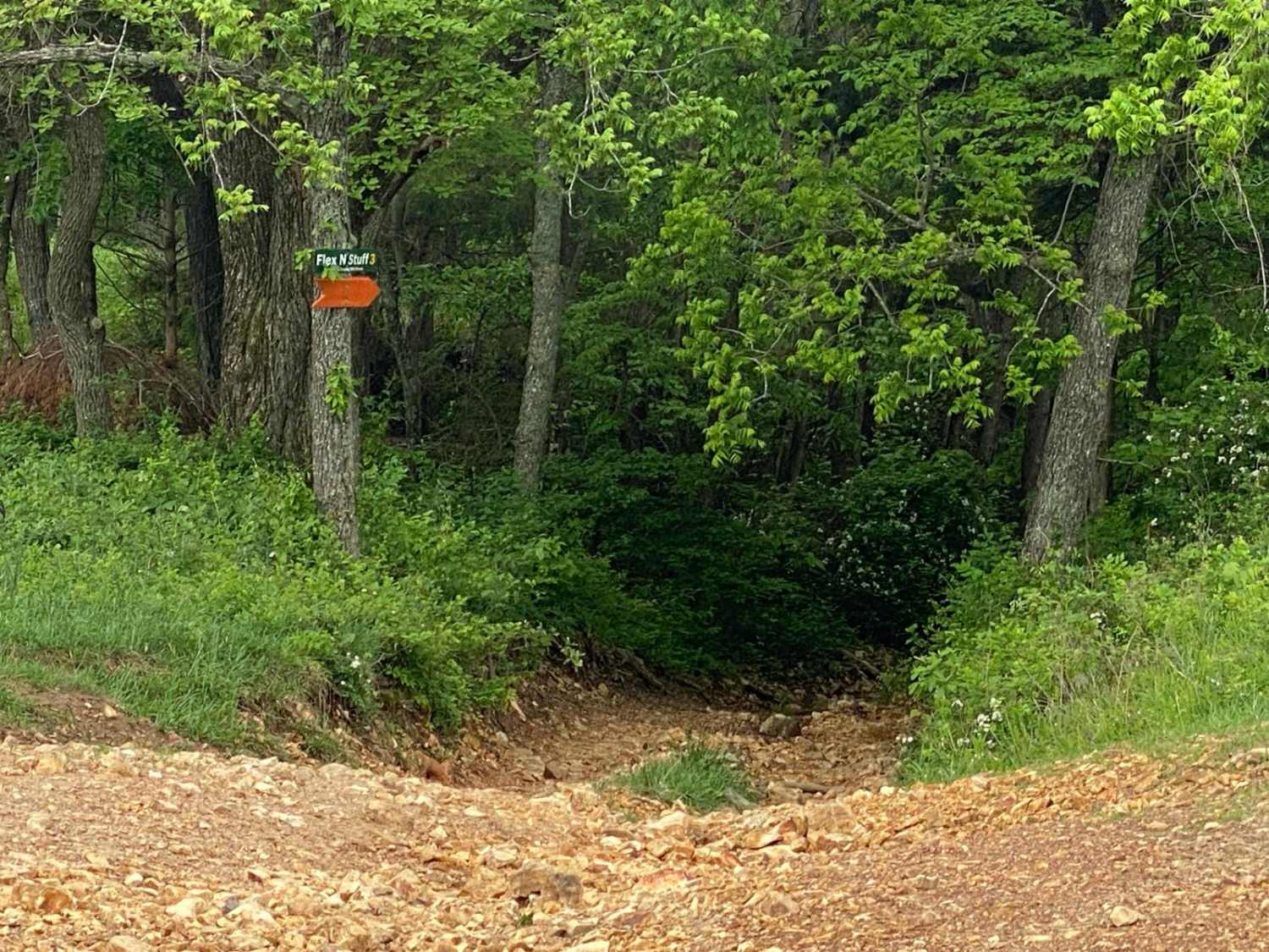
Flex N Stuff
Total Miles
0.3
Tech Rating
Moderate
Best Time
Spring, Summer, Fall
Learn more about Flexin' Stuff
Flexin' Stuff
Total Miles
0.2
Tech Rating
Moderate
Best Time
Spring, Summer, Fall, Winter
Learn more about Flip Flop - FS 2128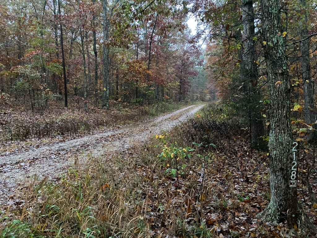
Flip Flop - FS 2128
Total Miles
1.4
Tech Rating
Easy
Best Time
Spring, Summer, Fall, Winter
Learn more about Fort Bald - FS 612
Fort Bald - FS 612
Total Miles
4.9
Tech Rating
Easy
Best Time
Spring, Summer, Fall, Winter
Learn more about Fort Bald Spur - FS 612A
Fort Bald Spur - FS 612A
Total Miles
1.0
Tech Rating
Easy
Best Time
Summer, Fall, Winter, Spring
Learn more about Fox Trot - FS 3843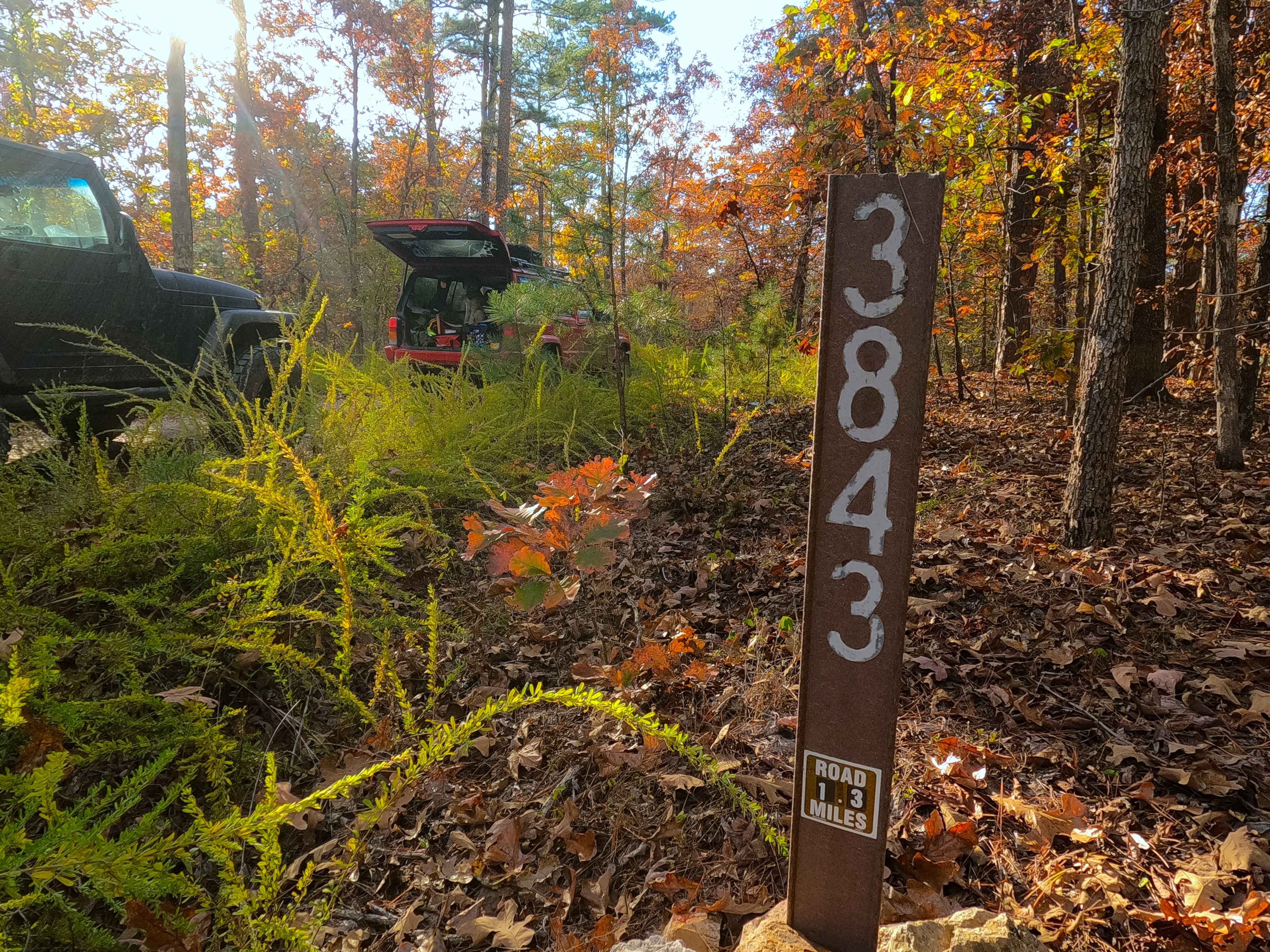
Fox Trot - FS 3843
Total Miles
1.3
Tech Rating
Easy
Best Time
Spring, Summer, Fall, Winter
Learn more about FR 1060 - Mary Cole Ridge
FR 1060 - Mary Cole Ridge
Total Miles
0.5
Tech Rating
Moderate
Best Time
Fall, Spring, Summer
Learn more about FR 1060 - Northern Portion
FR 1060 - Northern Portion
Total Miles
1.0
Tech Rating
Moderate
Best Time
Spring, Summer, Fall
Learn more about FR 1180 (Left Fork)
FR 1180 (Left Fork)
Total Miles
1.3
Tech Rating
Easy
Best Time
Spring, Summer, Fall, Winter
Learn more about FR 1181 to Scroggins Ridge
FR 1181 to Scroggins Ridge
Total Miles
1.7
Tech Rating
Easy
Best Time
Spring, Summer, Fall, Winter
Learn more about Frank Bay Road - ICR 1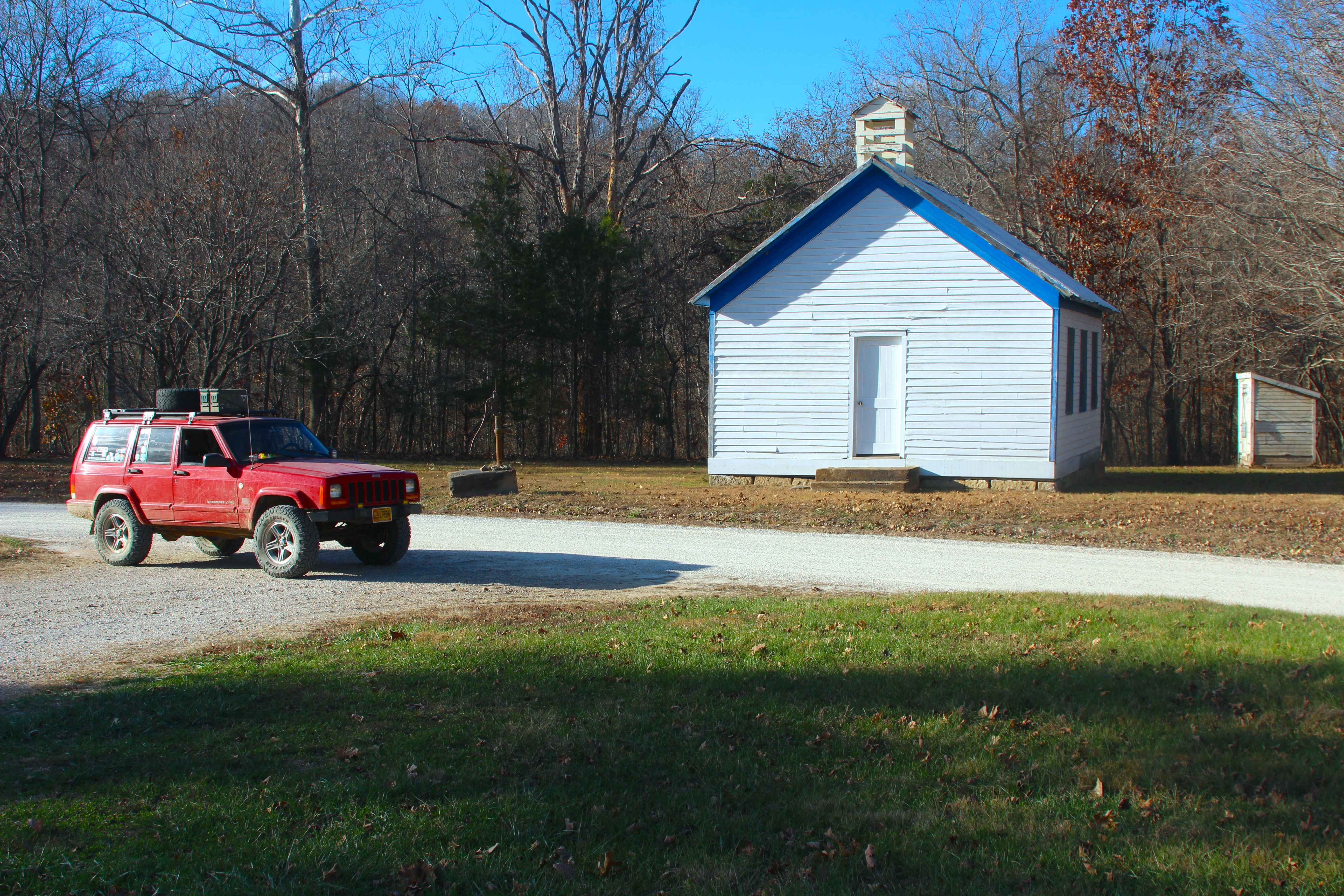
Frank Bay Road - ICR 1
Total Miles
4.5
Tech Rating
Easy
Best Time
Spring, Summer, Fall, Winter
Learn more about Fresno Cut Through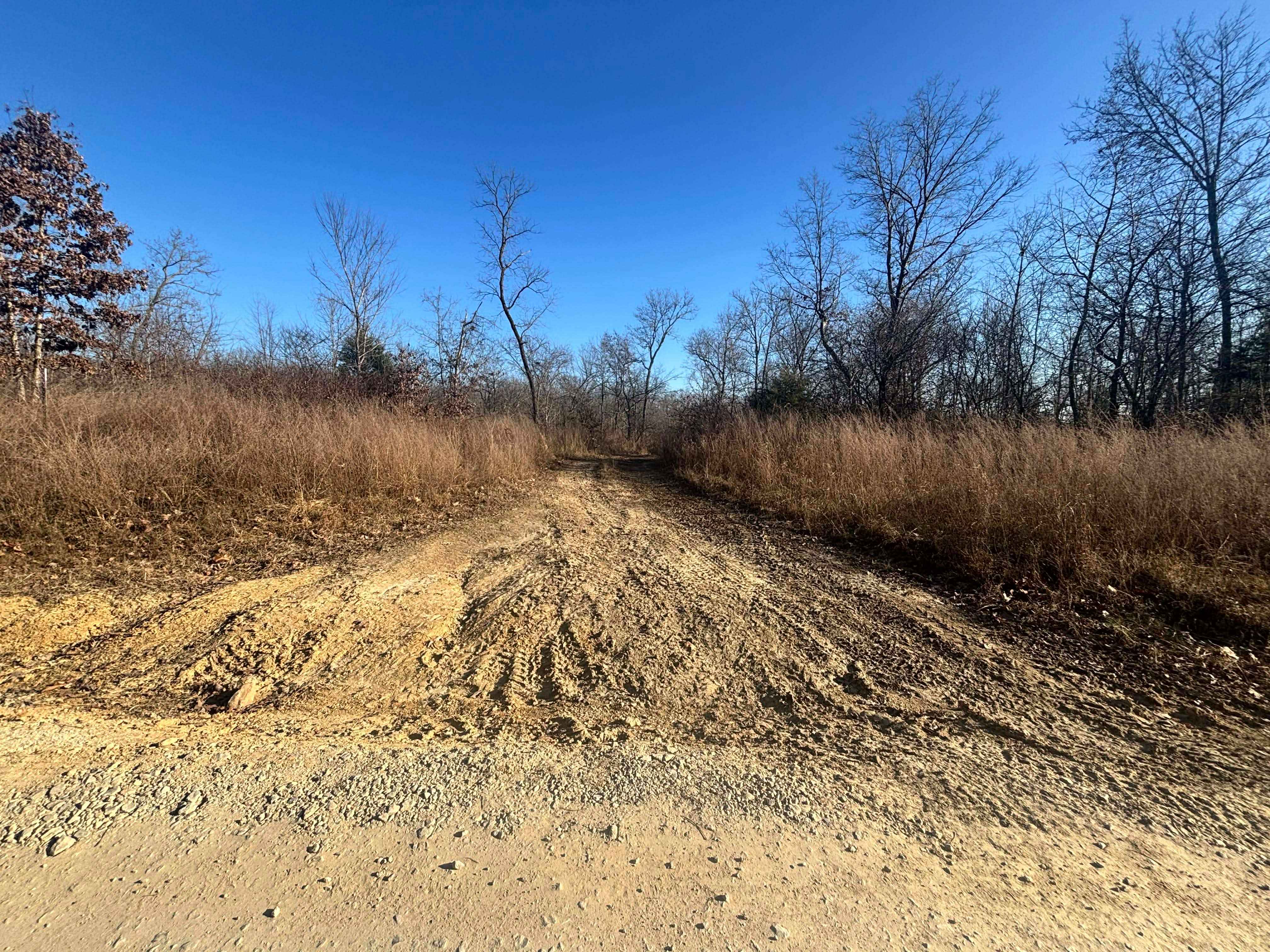
Fresno Cut Through
Total Miles
0.0
Tech Rating
Easy
Best Time
Spring, Summer, Fall, Winter
Learn more about Fresno Road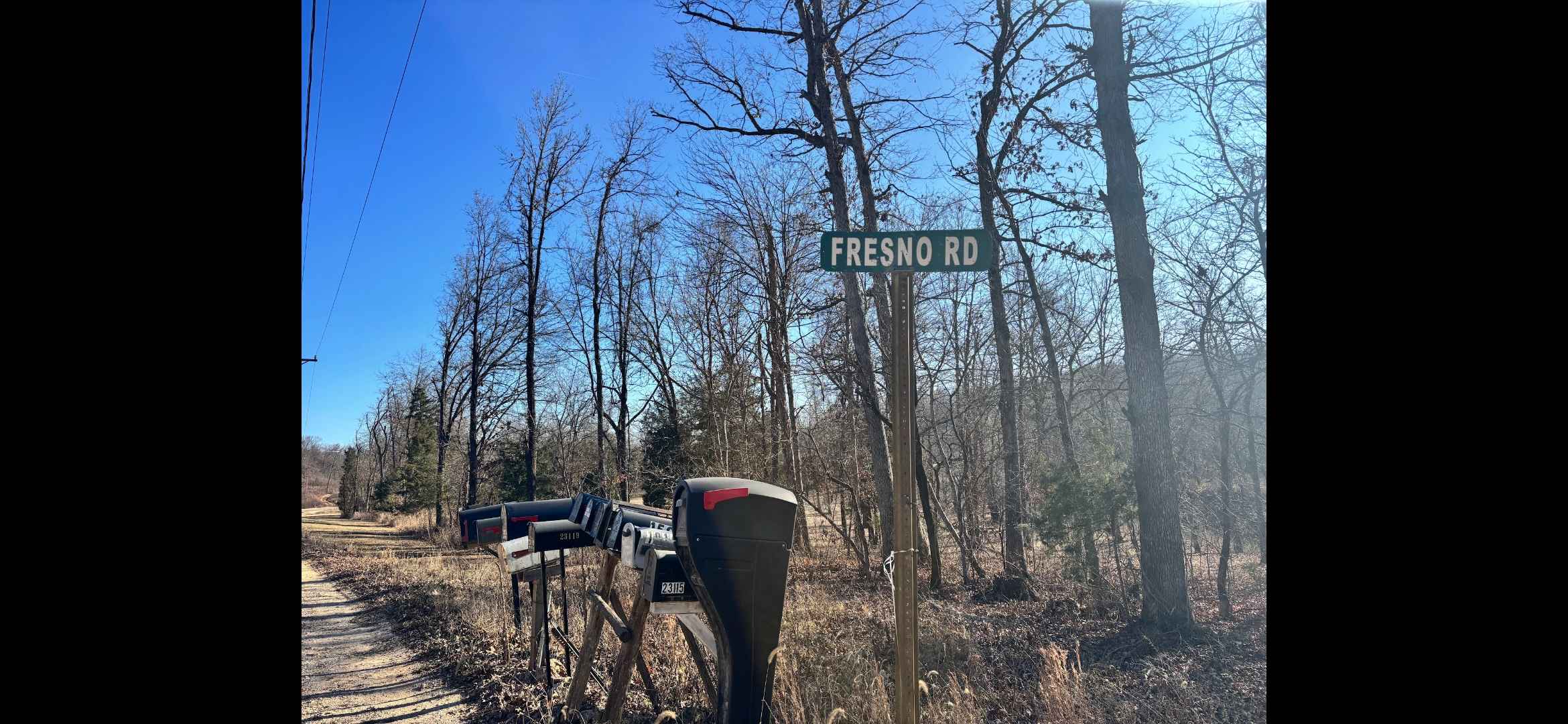
Fresno Road
Total Miles
0.9
Tech Rating
Easy
Best Time
Spring, Summer, Fall, Winter
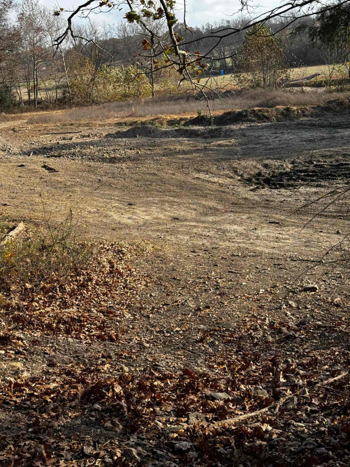
Learn more about Fresno Trail
Fresno Trail
Total Miles
0.4
Tech Rating
Easy
Best Time
Spring, Summer, Fall, Winter
ATV trails in Missouri


Learn more about 4 of 5
4 of 5
Total Miles
0.0
Tech Rating
Difficult
Best Time
Spring, Summer, Fall, Winter
UTV/side-by-side trails in Missouri
Learn more about 4 of 5
4 of 5
Total Miles
0.0
Tech Rating
Difficult
Best Time
Spring, Summer, Fall, Winter
The onX Offroad Difference
onX Offroad combines trail photos, descriptions, difficulty ratings, width restrictions, seasonality, and more in a user-friendly interface. Available on all devices, with offline access and full compatibility with CarPlay and Android Auto. Discover what you’re missing today!