Trail Overview
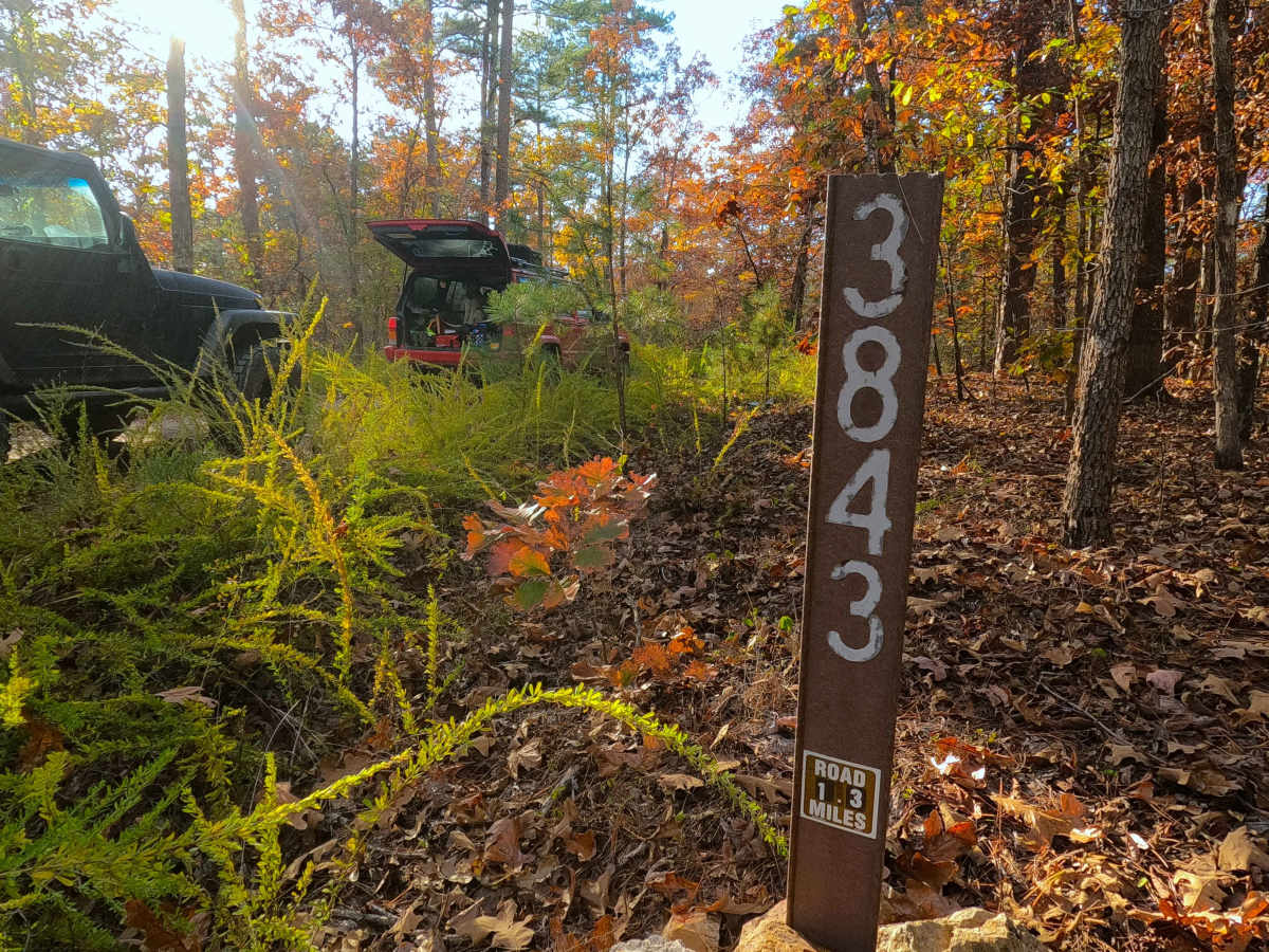
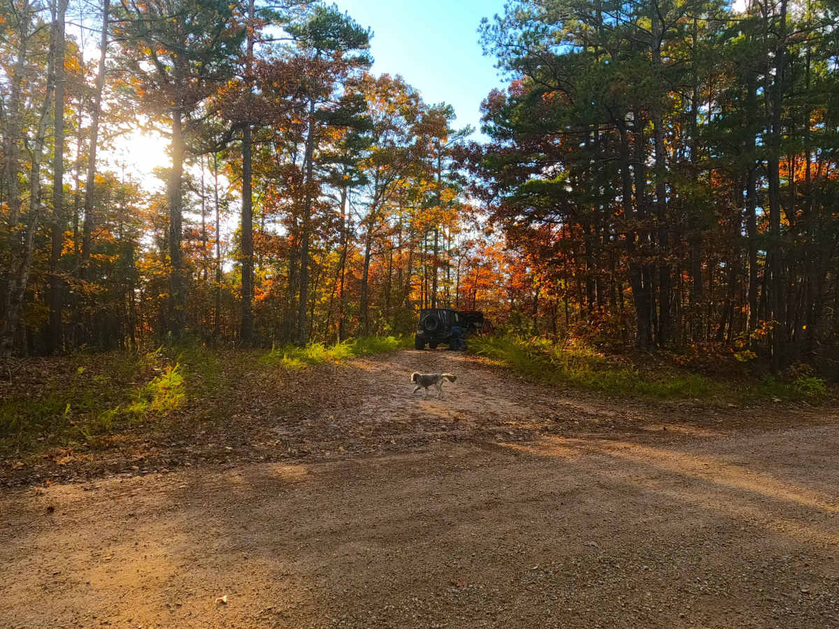
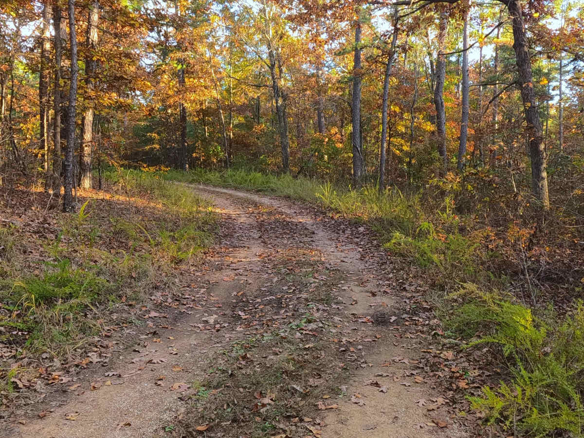
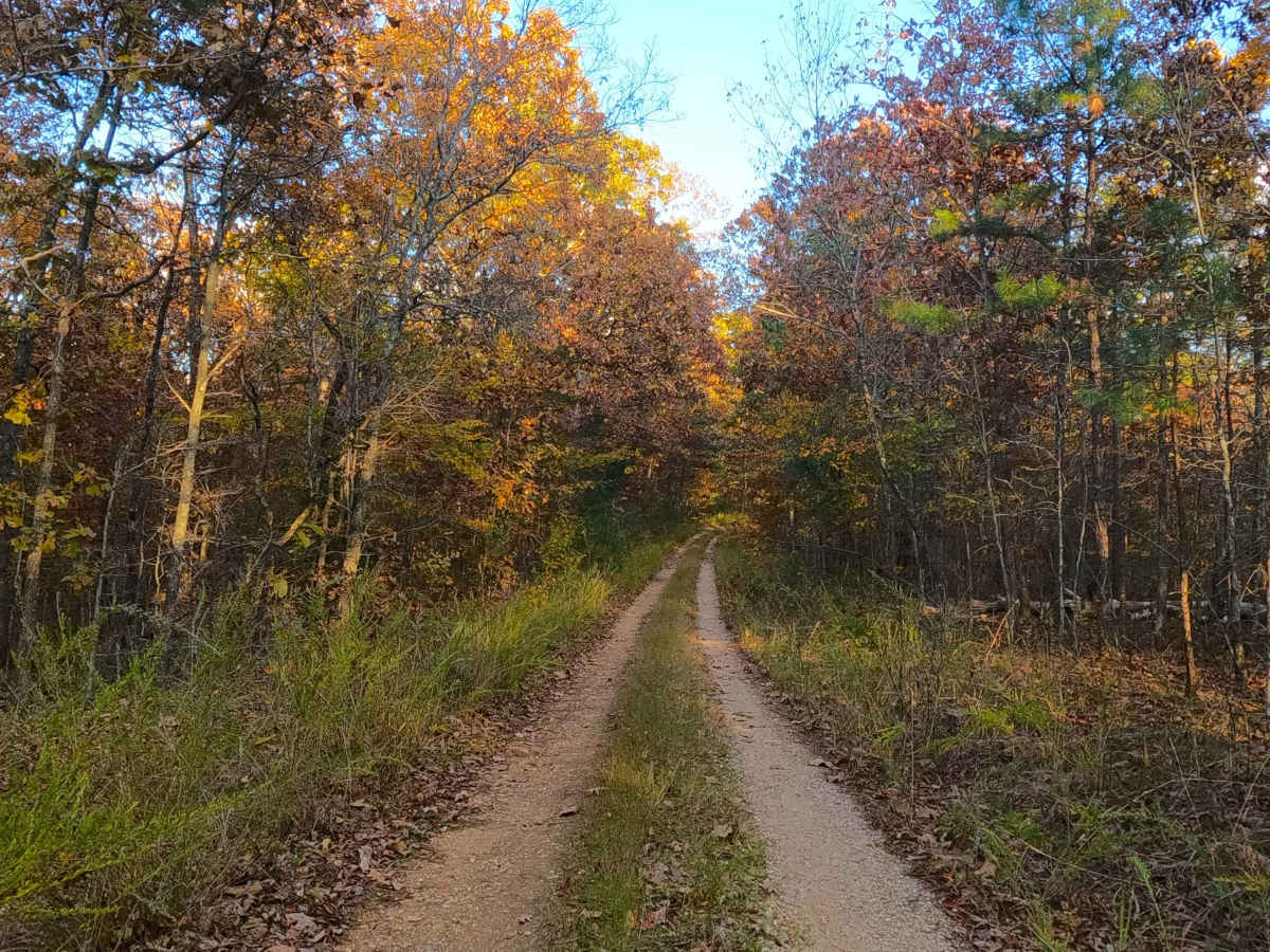
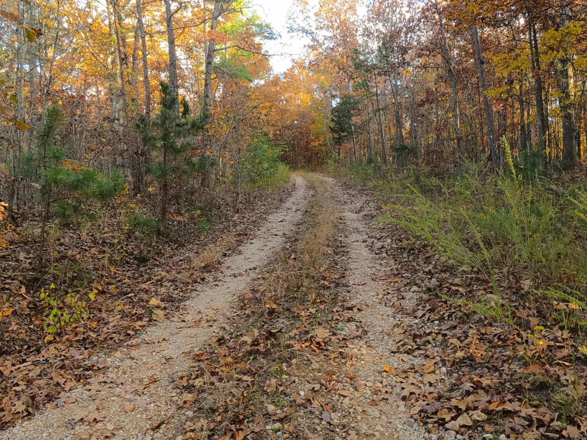
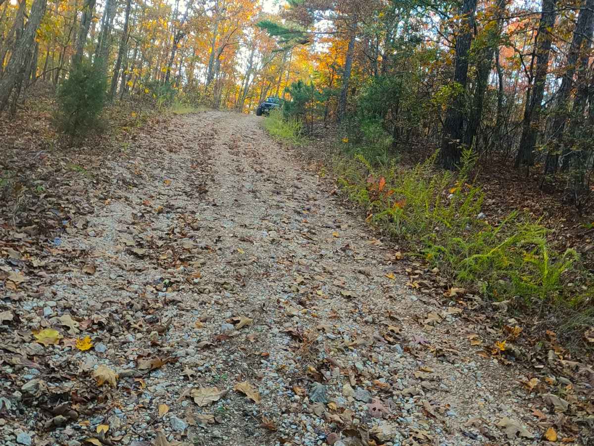
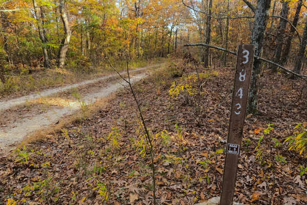
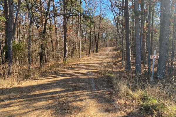
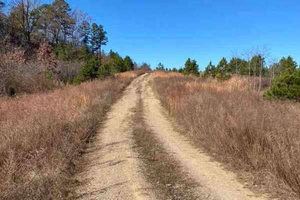
Fox Trot (FS 3843) is a semi-maintained gravel Forest Service road within the Poplar Bluff Unit of Mark Twain National Forest. Fox Trot takes off from the Wayne County 403 heading west towards the Otter Creek Valley, following the small elevation changes of the lower spines of the ridge, passing by dense tree lines on either side of the road, eventually hitting the steep hill on the far west side of the track, where the road turns more towards coarse natural gravel, having mild washes and erosion on this grade finishing with the track climbing to its highest point. At this highest point, it passes the Tango FS 3843B to the south, before ending at an open grassy turnaround area where the tight and very natural Fox Trot Spur A FS 3843A begins heading west, the FS 3843 used to continue going northwest from here as well, but is overgrown and seemingly abandoned, suggesting this being the new ending to the Fox Trot FS 3843, users can either use one of the spurs, or turn around and head out the way entered.
Difficulty
Fox Trot is given a base rating of 2/10. Along the way, you will cross small whoops, lightly active erosion, and parts of the road that fade to soft dirt or surface mud. When documented in 11/2025, the mild hills of the road had loose enough gravel and rock to cause traction loss and potential sliding. It is safe to expect the normal gravel road complications, such as washboards, potholes, mounding of the gravel, and potential erosion washes. Difficulty could increase in seasons of extreme inclement weather, lack of maintenance, and heavy use, but would likely drop back to 2/10 difficulty once dry, or even to a 1/10 if it were mended with fresh gravel.