Frank Bay Road - ICR 1
Total Miles
4.5
Technical Rating
Best Time
Spring, Summer, Fall, Winter
Trail Type
Full-Width Road
Accessible By
Trail Overview
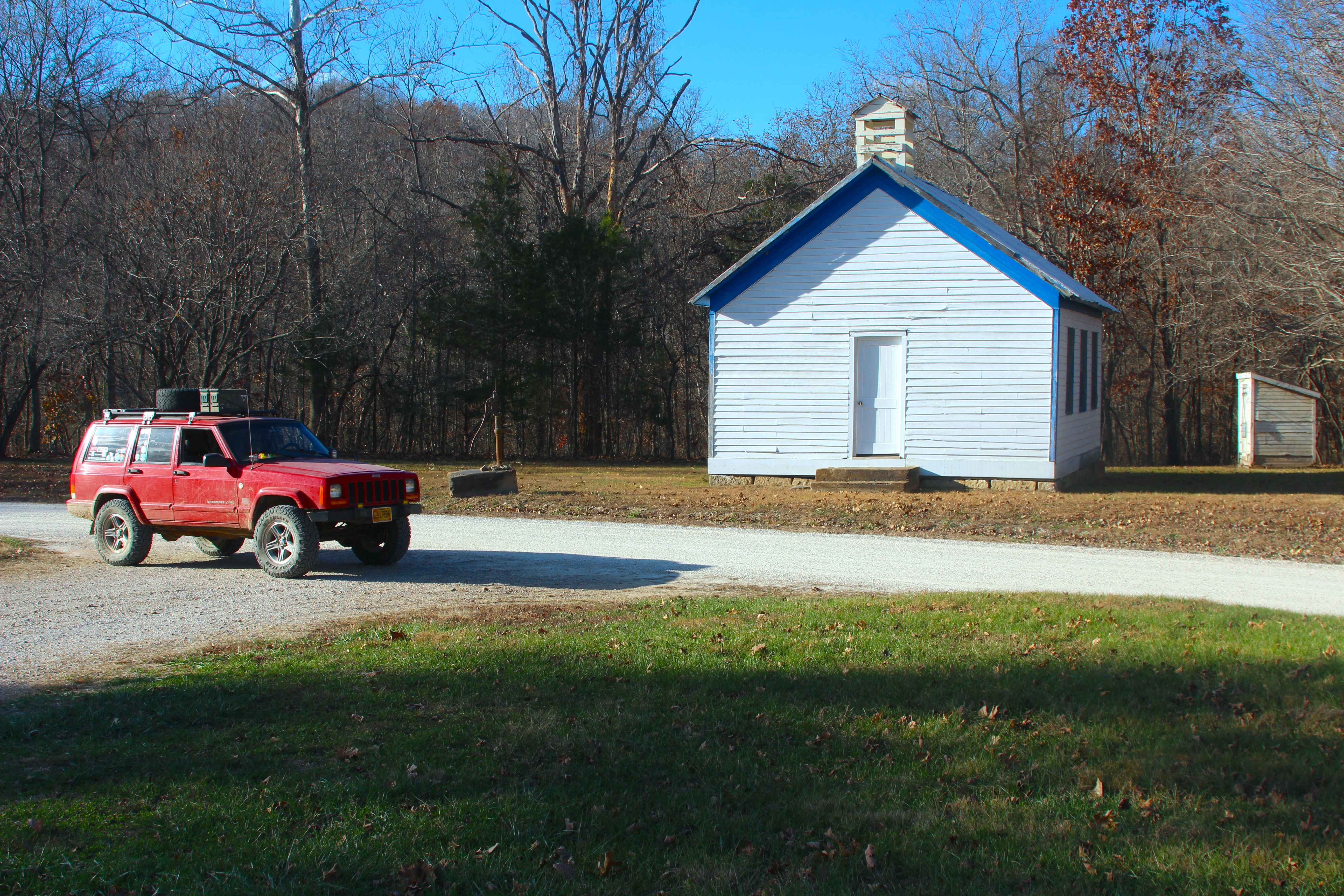
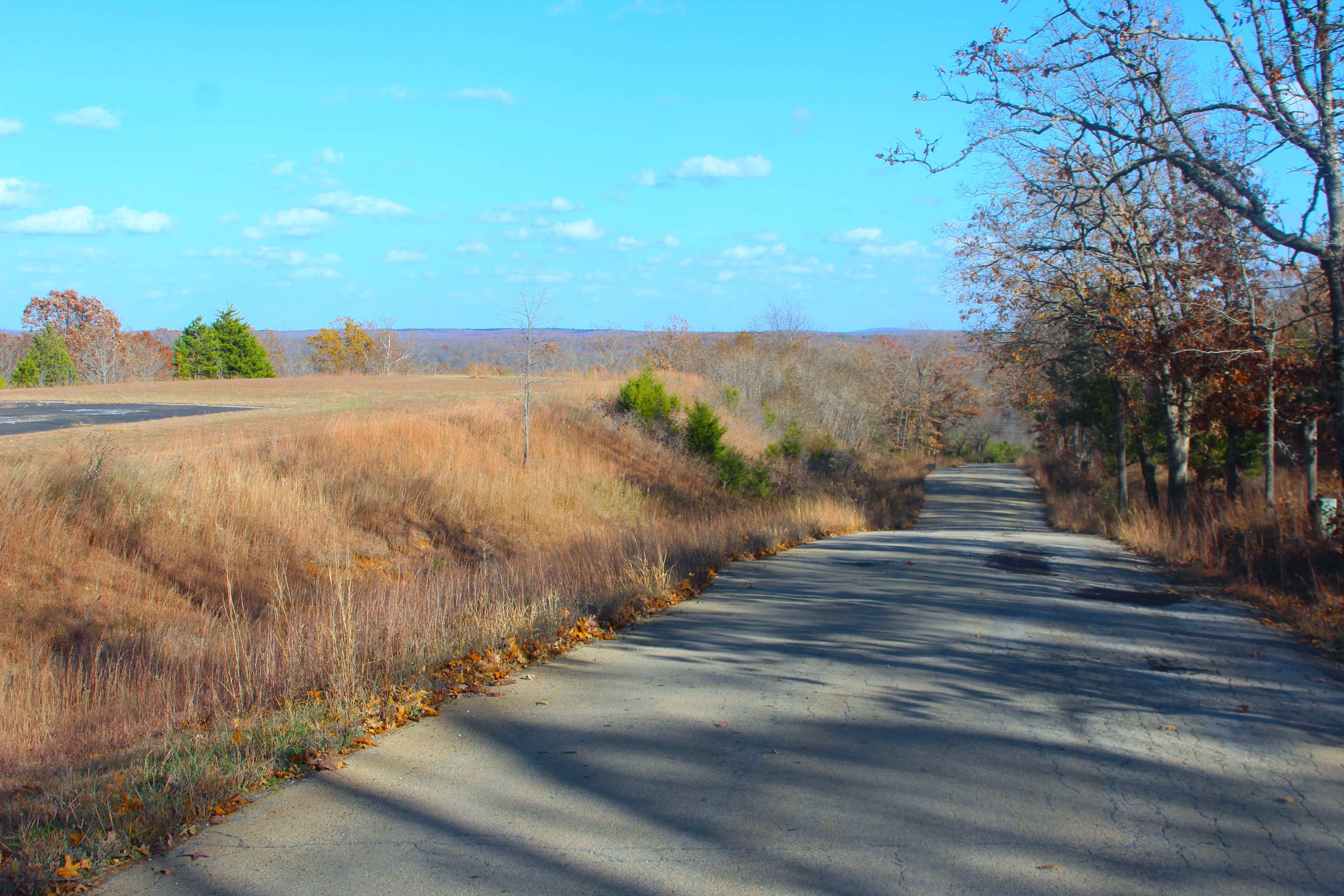
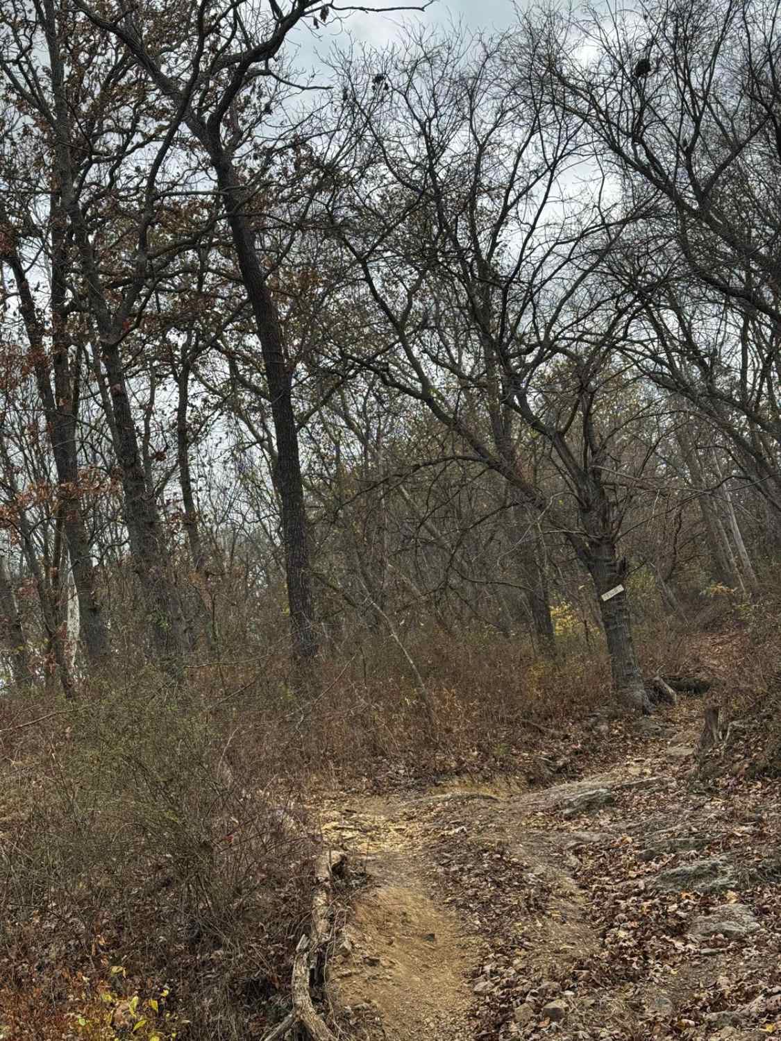
Frank Bay Road, or Iron County Road 1, is a 6.1-mile-long, majority gravel road (4.5 miles gravel in the center with 0.8 mile of pavement on both ends) through Mark Twain National Forest Potosi Unit and Iron County, Missouri. Frank Bay Road connects the town of Viburnum on the west end to the settlement of Good Water on the east end. At length, the road starts on the west along Viburnum ridge, going downhill into Viburnum Tailing Ponds valley, to cross one hill to the Upper Indian Creek valley, going back uphill into a rolling hills parcel of Mark Twain National Forest, before reaching the far east end, going downhill to the Courtios Creek valley that also hosts the settlement of Good Water. Along the way, it passes 5 FS roads, other minor Iron County Roads, and one industrial road for Doe Run mining operations, called the Ore Haul Road on the far west end near Viburnum. The road itself features scenic views of the area, including old settlements, such as the Upper Indian church, cemetery, and school, and scenic spots such as the Upper Indian and Courtios Creeks, and the rolling hills filled with beautiful pines that join it all together.
Photos of Frank Bay Road - ICR 1
Difficulty
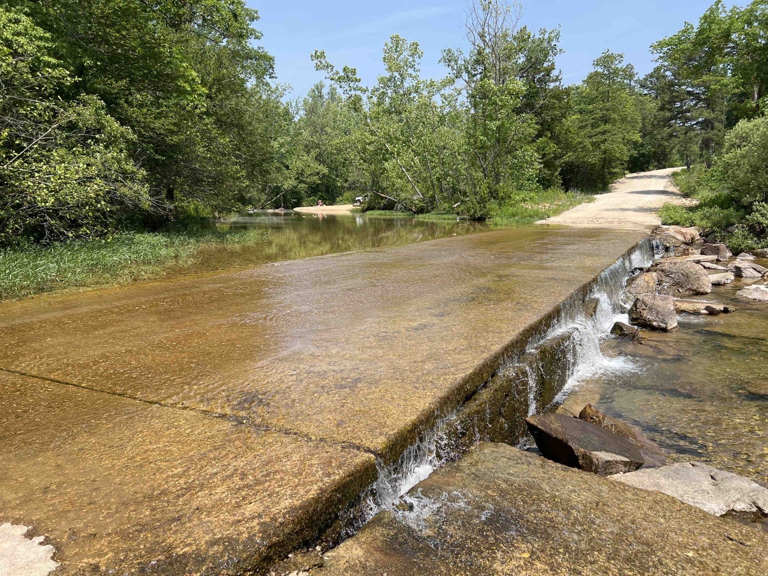
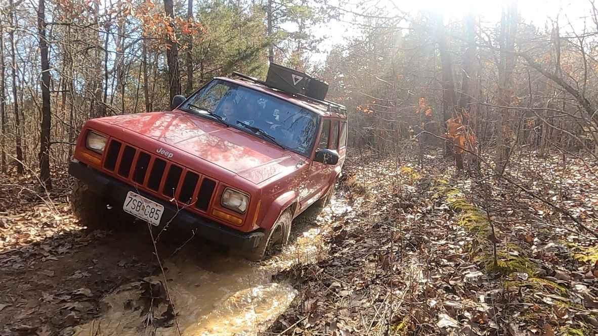
Frank Bay Road is given a base rating of 1/10, for having only mild coarse gravel and dirt base road, over dry low water bridges, with only mild graded inclines. It is safe to expect potholes, washboarding, and mounding of the gravel. Difficulty could increase in times of wet or inclement weather, or flash flooding, adding splash level or greater water depth at the low water bridge crossings.
History
On the weekend of December 13th, 2025, OnX Offroad supported a local trash clean-up that was hosted by Heartland Trail Trash, a Missouri-based nonprofit stewardship organization. Heartland Trail Trash gathered 45 volunteers, based out of Council Bluff Lake, to participate in Venture Unknown Foundation's 8-state 13-team Sweep Up The Southeast 2025 (SUTS) event. During this event, Heartland Trail Trash (Team Mark Twain) cleaned the majority of the Bixby-Viburnum area, cleaning up trash, tires, and metal that had been illegally dumped, as well as other dump sites in Mark Twain along the Missouri Route 32 corridor, going as far east as Shepard Cutoff. The total trash collection included 72 tires, 800 lbs of recycled metal, and 4500 lbs of trash being removed from Mark Twain National Forest and Iron County. A worthy effort considering that the weather turned extremely cold (32degF at noon, dropping to 3degF that night) and at 2 PM started dropping freezing mist, turning to flurries by 6 PM.
Status Reports
Frank Bay Road - ICR 1 can be accessed by the following ride types:
- High-Clearance 4x4
- SUV
- SxS (60")
- ATV (50")
- Dirt Bike
Frank Bay Road - ICR 1 Map
Popular Trails
Buick Truck Trail 2231
Oak Hill School FSR 3677 / 3677A

Big Cat Mid
AXC Kids Loop
The onX Offroad Difference
onX Offroad combines trail photos, descriptions, difficulty ratings, width restrictions, seasonality, and more in a user-friendly interface. Available on all devices, with offline access and full compatibility with CarPlay and Android Auto. Discover what you’re missing today!