Fort Bald - FS 612
Total Miles
4.9
Technical Rating
Best Time
Spring, Summer, Fall, Winter
Trail Type
Full-Width Road
Accessible By
Trail Overview
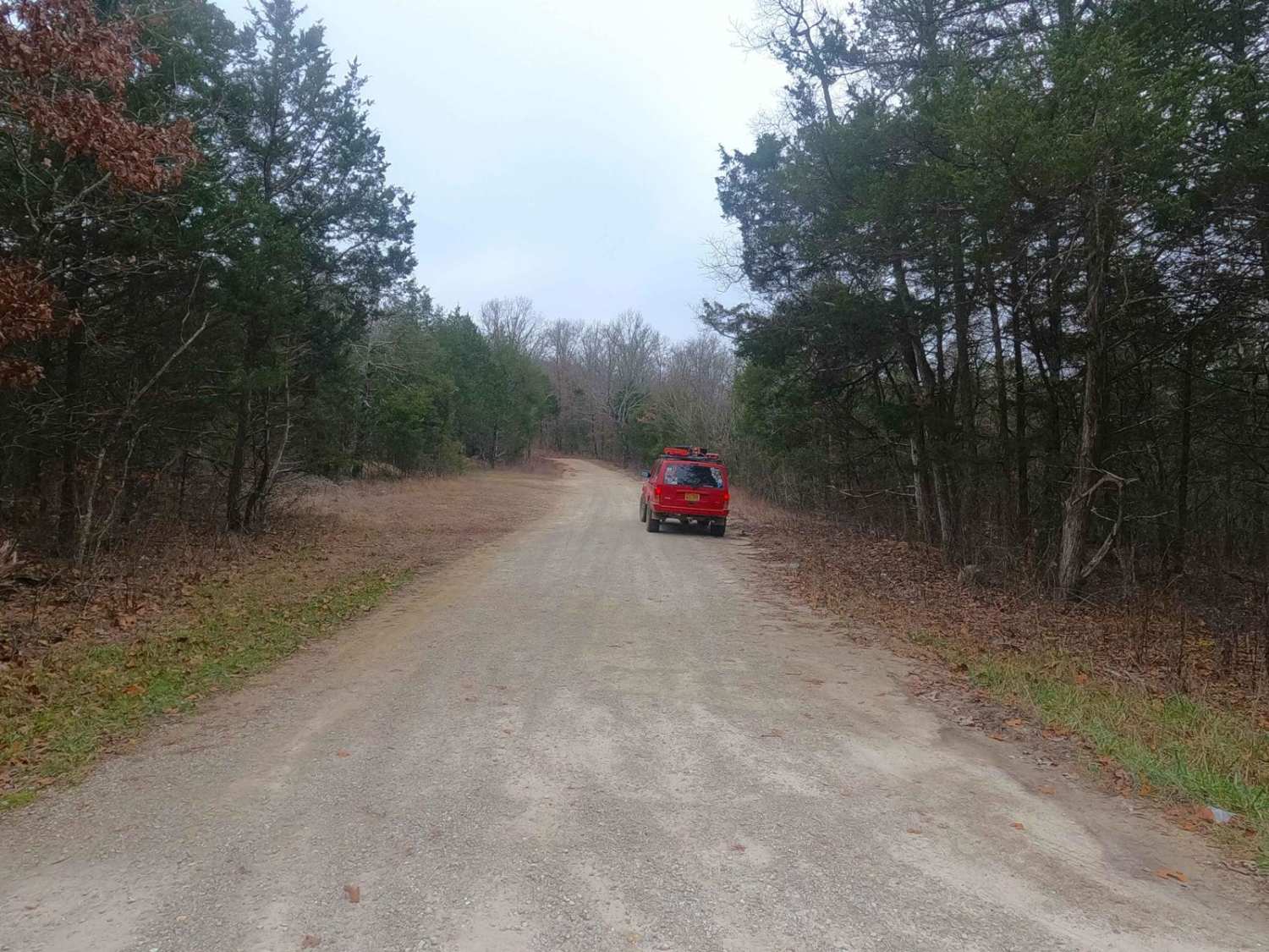
Fort Bald FS 612 is a gravel forest service road within the Mark Twain National Forest Ava Unit, as part of the greater Glade Top area. The road is meager in offroad prowess, with the track following up and down the ridge line, featuring mild coarse gravel terrain over mild-moderate graded hills, on which numerous water channeling mounds were installed to mitigate as much erosion as possible, to prevent active deep rutting. In purpose, the road features an abundance of cut-outs and dispersed camps with strong evidence of hunting. At the midway point, on the south side of the track, there is a cutout featuring a beautiful hilltop view looking south / southwest at other balds and hills in the distance. On the southern end of the track, the road crosses a feeder creek that ultimately leads to Beaver Creek just south of the road's end, a very majestic little spot that embodies the Missouri hillbilly vibe in a rough road form.
Photos of Fort Bald - FS 612

Difficulty
Fort Bald FS 612 is simple, yet a rougher gravel road, given a 2/10 base rating, featuring mild erosion throughout the track, especially at the mounds/whoops that channel water off the road, along with a few spots where the gravel fades to dirt creating potential surface mud, and lastly expect moderate graded hills. What earns the 2/10 solely, when documented in December 2024, is the loose cobble rock-based (6-10" rocks) shallow feeder creek crossing (6" splash) on the southern end. Being a feeder creek water obstacle there are times this could have increased depth based on the signs of water erosion around the creek banks, but it could also be completely dry in the hot summer season, effectively changing difficulty based on water levels.
Fort Bald - FS 612 can be accessed by the following ride types:
- High-Clearance 4x4
- SUV
Fort Bald - FS 612 Map
Popular Trails

Prieskon Hollow - FSR 143

Yellow 286

Purple 321

The onX Offroad Difference
onX Offroad combines trail photos, descriptions, difficulty ratings, width restrictions, seasonality, and more in a user-friendly interface. Available on all devices, with offline access and full compatibility with CarPlay and Android Auto. Discover what you’re missing today!