Flip Flop - FS 2128
Total Miles
1.4
Technical Rating
Best Time
Spring, Summer, Fall, Winter
Trail Type
Full-Width Road
Accessible By
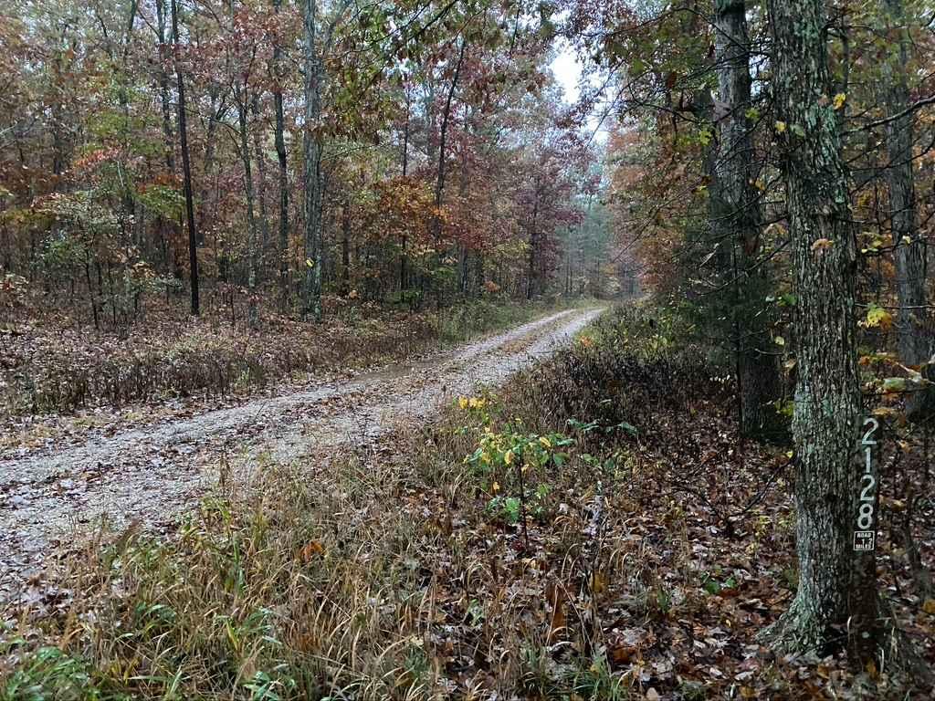
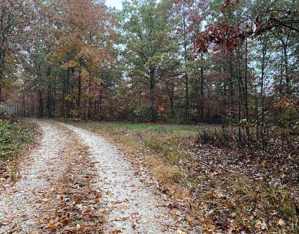
Trail Overview
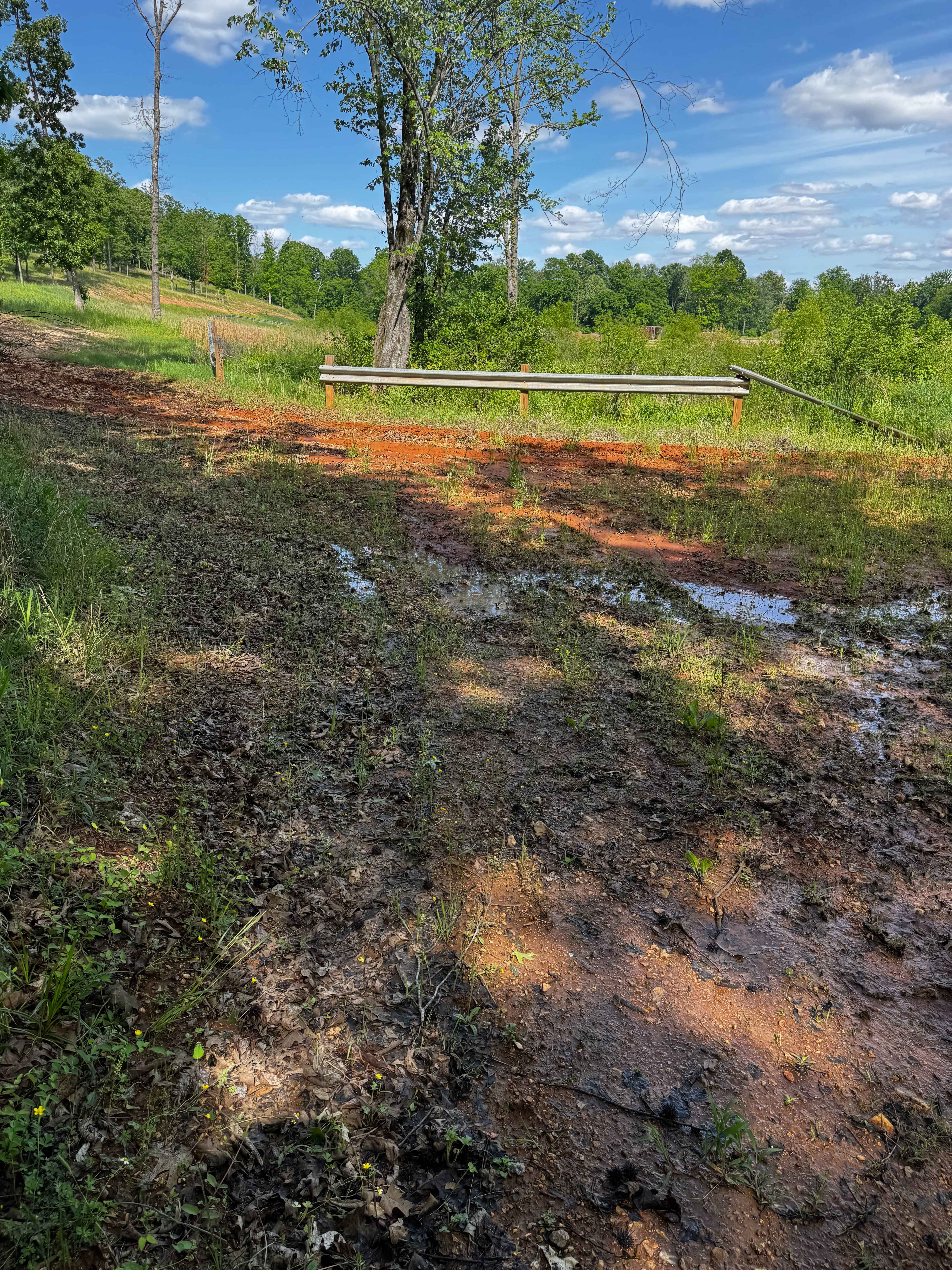
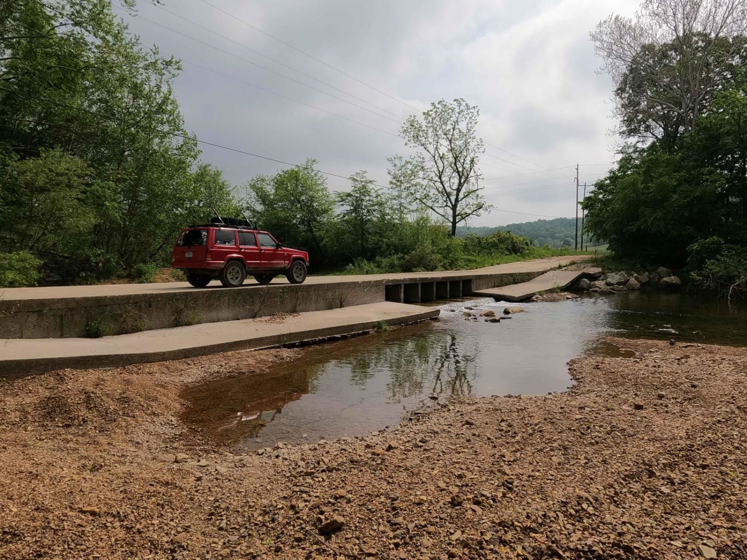
Flip Flop FS 2128 is a gravel road transforming into a natural-improved forestry route within the Mark Twain National Forest Fredericktown Unit. Flip Flop is an easy little trail on the east side of US Route 67, featuring minimal elevation changes but a decent spread of changes in terrain throughout the track. The first portion travels alongside a cattle farm to the east and a dense forest to the west. The trail then makes a hard 90-degree turn and heads west. Shortly thereafter, to the north, there is a pond-side camp cut out at 37.48184, -90.28087 with a uniquely placed toilet, now known as Toilet Camp. Past this point is where the trail starts leaning towards natural, featuring mud holes and ruts. Generally speaking, the gravel fades to dirt over windy little turns until it reaches the turnaround point, where the driver will have to track over it all again to the entry. This would be a great spot to camp if you don't want to be far from town but also not be disturbed by anyone else looking for the same spot to camp.
Photos of Flip Flop - FS 2128
Difficulty
Flip Flop starts easy as a 1/10 gravel FS route but slowly shifts at the midway to have a more natural-improved road, then slowly shifts even more towards having small mud and water collection holes being anywhere from 6 to 12 inches on average. In extremely wet conditions, it could yield 18 inches max in depth, ultimately earning this trail a low-demanding 3/10 base rating. Lastly, the road turns mostly into a dirt-based path that is slowly being reclaimed by nature. The trees get snug in this last stretch bringing an unsung difficulty into the mix, and there is a Y in the trail to do a 3-point turn and head back out. In the event of wet conditions, heavy rain, trees falling, and user wear, the difficulty of this trail could increase. It also could be mended back to a 1/10 state throughout.
Status Reports
Flip Flop - FS 2128 can be accessed by the following ride types:
- High-Clearance 4x4
- SUV
Flip Flop - FS 2128 Map
Popular Trails
Red Clay Cut Thru
Old Scopus Road

Yellow 345
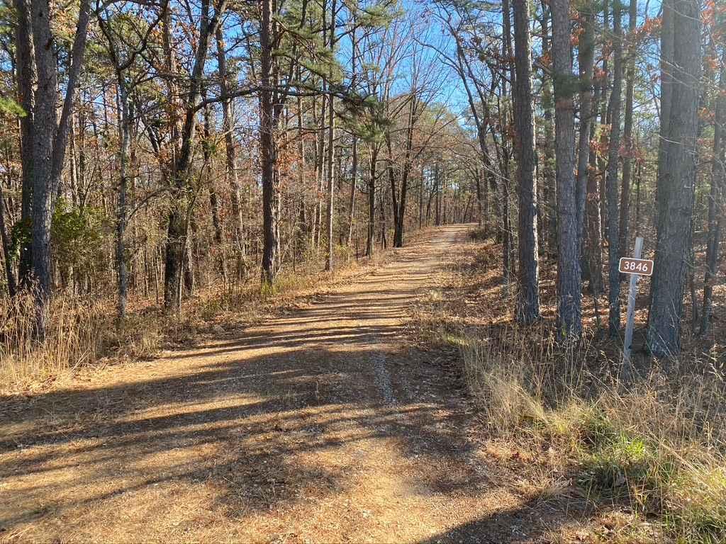
Smoot Hollow FSR 3846
The onX Offroad Difference
onX Offroad combines trail photos, descriptions, difficulty ratings, width restrictions, seasonality, and more in a user-friendly interface. Available on all devices, with offline access and full compatibility with CarPlay and Android Auto. Discover what you’re missing today!