Off-Road Trails in Missouri
Discover off-road trails in Missouri
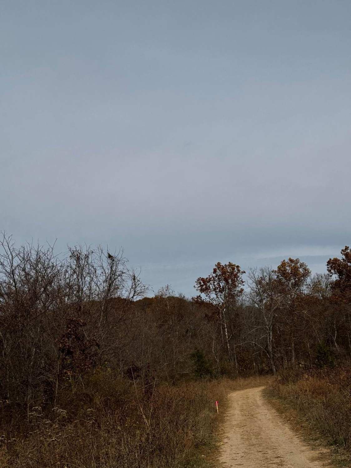
Learn more about Bo-Co Road 200
Bo-Co Road 200
Total Miles
5.9
Tech Rating
Easy
Best Time
Spring, Fall, Summer, Winter
Learn more about Bo-Co Road 238 
Bo-Co Road 238
Total Miles
3.0
Tech Rating
Easy
Best Time
Spring, Summer, Fall, Winter
Learn more about Bo-Co Road 376
Bo-Co Road 376
Total Miles
3.1
Tech Rating
Easy
Best Time
Spring, Summer, Fall, Winter
Learn more about Bo-Co Road 736
Bo-Co Road 736
Total Miles
3.7
Tech Rating
Easy
Best Time
Spring, Summer, Fall, Winter
Learn more about Bo-Co Road 738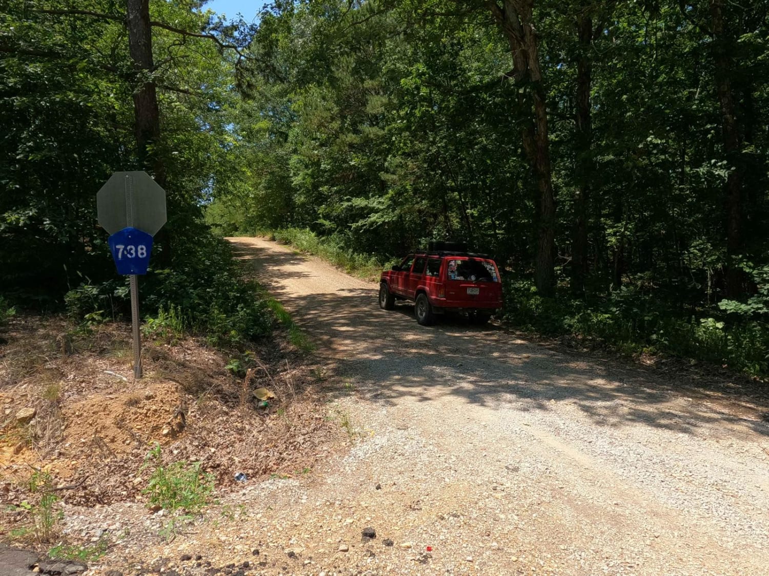
Bo-Co Road 738
Total Miles
3.7
Tech Rating
Easy
Best Time
Summer, Spring, Fall, Winter
Learn more about Bo-Co Road 872
Bo-Co Road 872
Total Miles
2.5
Tech Rating
Moderate
Best Time
Spring, Summer, Fall
Learn more about Bo-Co Road 918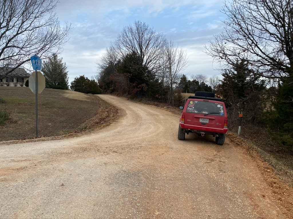
Bo-Co Road 918
Total Miles
1.8
Tech Rating
Easy
Best Time
Spring, Fall, Summer, Winter
Learn more about Bob Brown
Bob Brown
Total Miles
10.6
Tech Rating
Easy
Best Time
Spring, Summer, Fall, Winter
Learn more about Boiling Ridge - FS 2099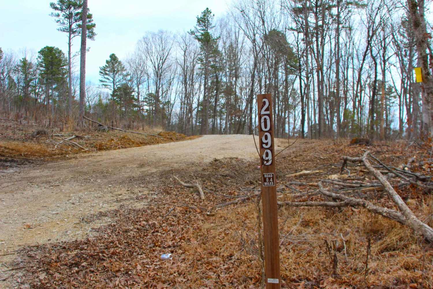
Boiling Ridge - FS 2099
Total Miles
0.4
Tech Rating
Easy
Best Time
Spring, Summer, Fall, Winter
Learn more about Bollinger County Road 366
Bollinger County Road 366
Total Miles
5.4
Tech Rating
Easy
Best Time
Spring, Summer, Fall, Winter
Learn more about Bollinger County Road 878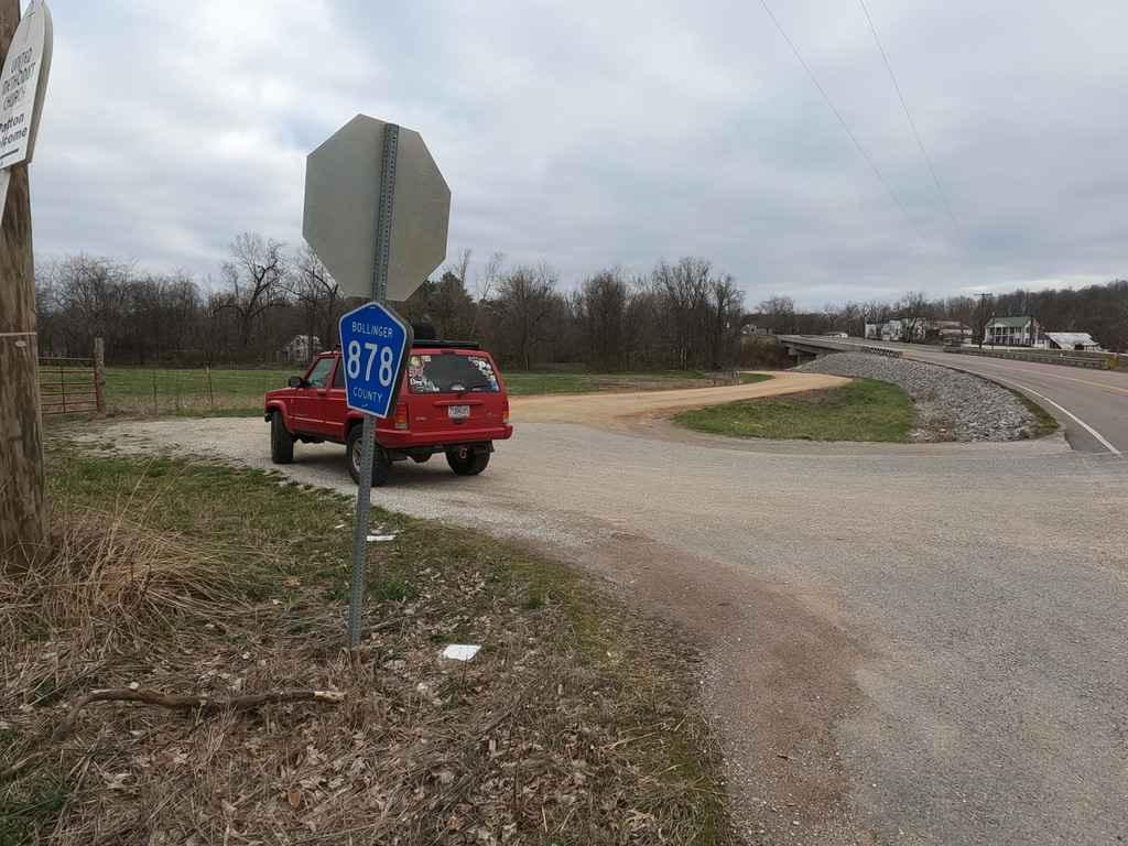
Bollinger County Road 878
Total Miles
2.5
Tech Rating
Easy
Best Time
Spring, Summer, Fall, Winter
Learn more about Bollinger Mill Road
Bollinger Mill Road
Total Miles
0.5
Tech Rating
Easy
Best Time
Spring, Summer, Fall, Winter
Learn more about Boom Hole Access - FSR 3155B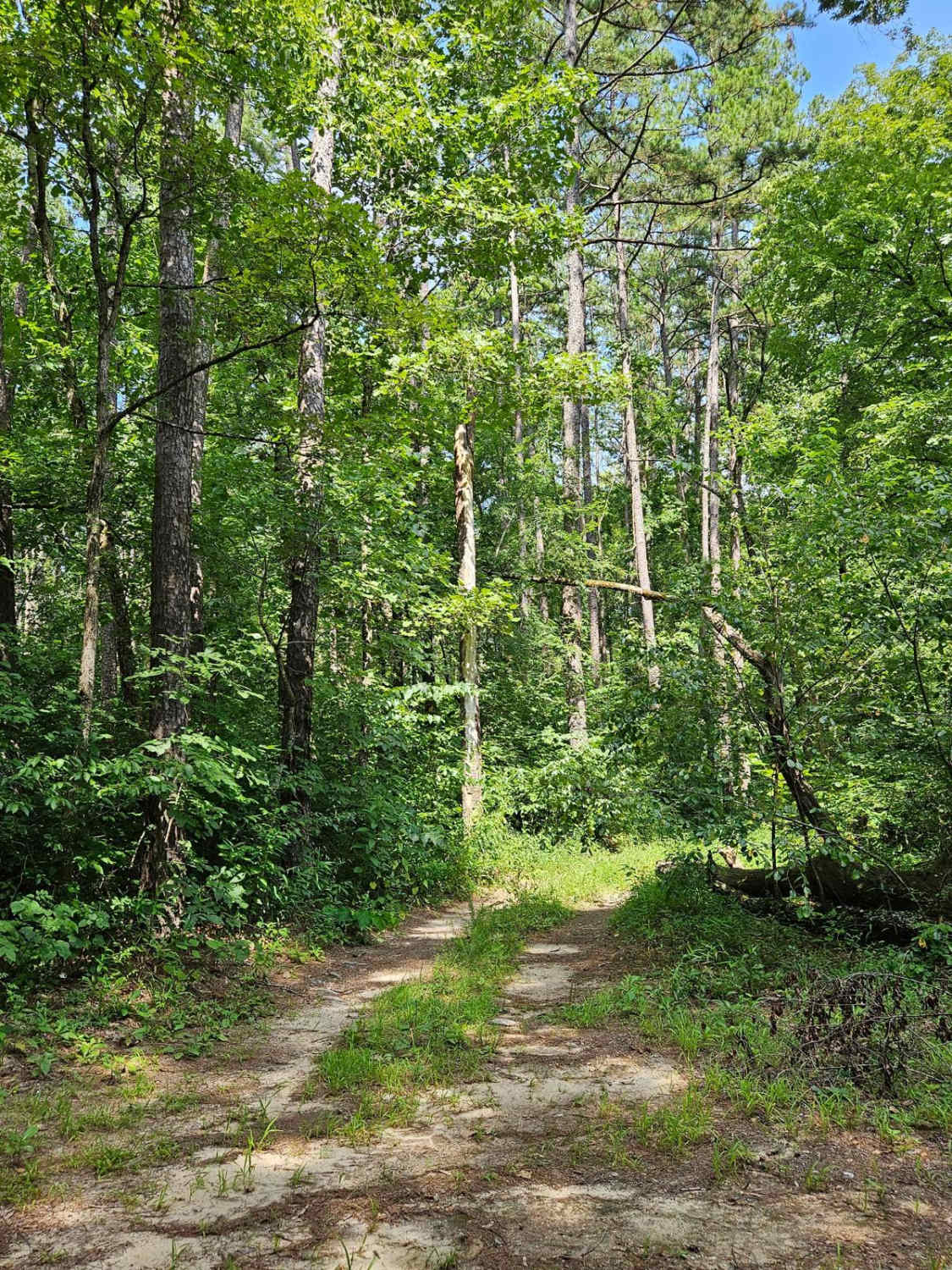
Boom Hole Access - FSR 3155B
Total Miles
1.7
Tech Rating
Easy
Best Time
Fall, Summer, Spring, Winter


Learn more about Bottoms Access
Bottoms Access
Total Miles
0.3
Tech Rating
Easy
Best Time
Spring, Summer, Fall, Winter
ATV trails in Missouri


Learn more about 4 of 5
4 of 5
Total Miles
0.0
Tech Rating
Difficult
Best Time
Spring, Summer, Fall, Winter
UTV/side-by-side trails in Missouri
Learn more about 4 of 5
4 of 5
Total Miles
0.0
Tech Rating
Difficult
Best Time
Spring, Summer, Fall, Winter
The onX Offroad Difference
onX Offroad combines trail photos, descriptions, difficulty ratings, width restrictions, seasonality, and more in a user-friendly interface. Available on all devices, with offline access and full compatibility with CarPlay and Android Auto. Discover what you’re missing today!