Cedar Bottom FSR 2159
Total Miles
0.9
Technical Rating
Best Time
Summer, Spring, Fall, Winter
Trail Type
Full-Width Road
Accessible By
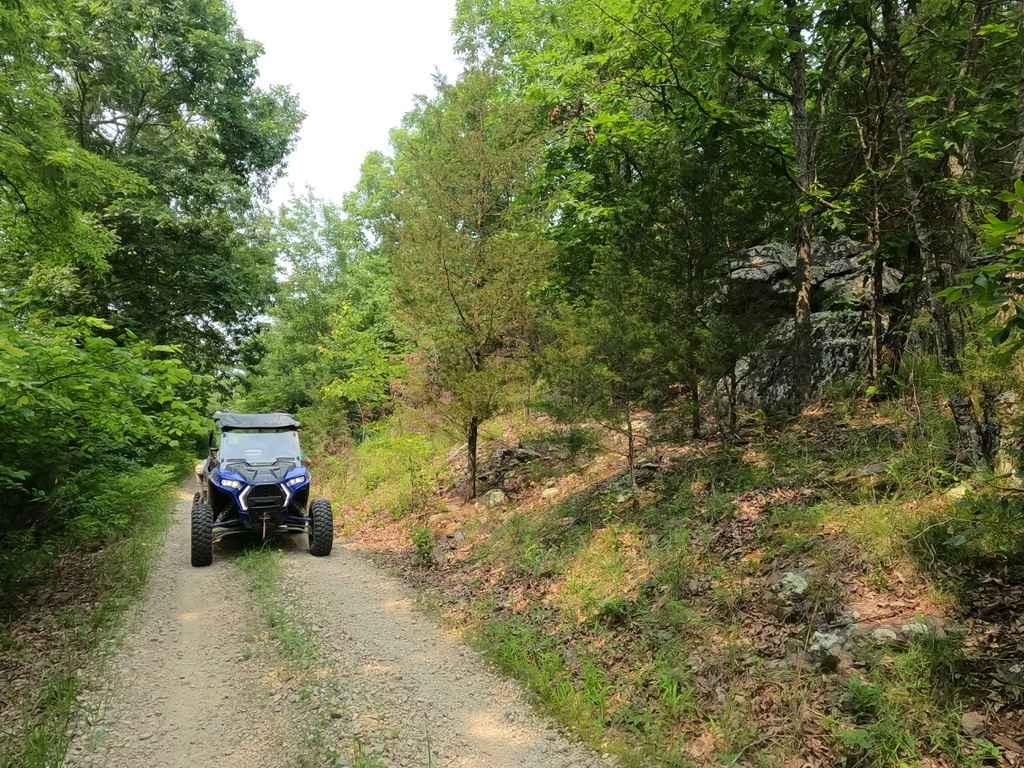
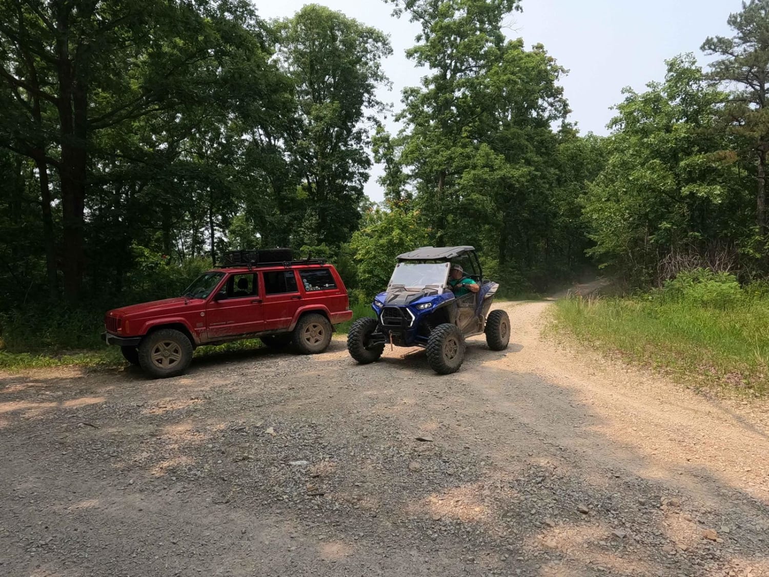
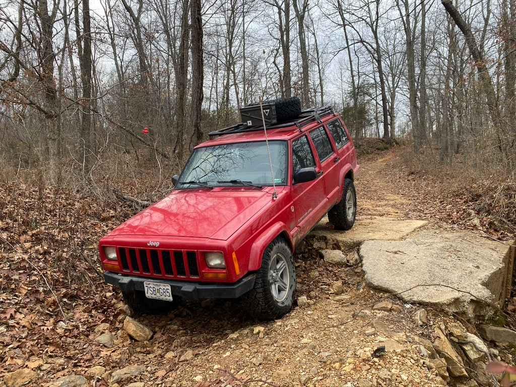
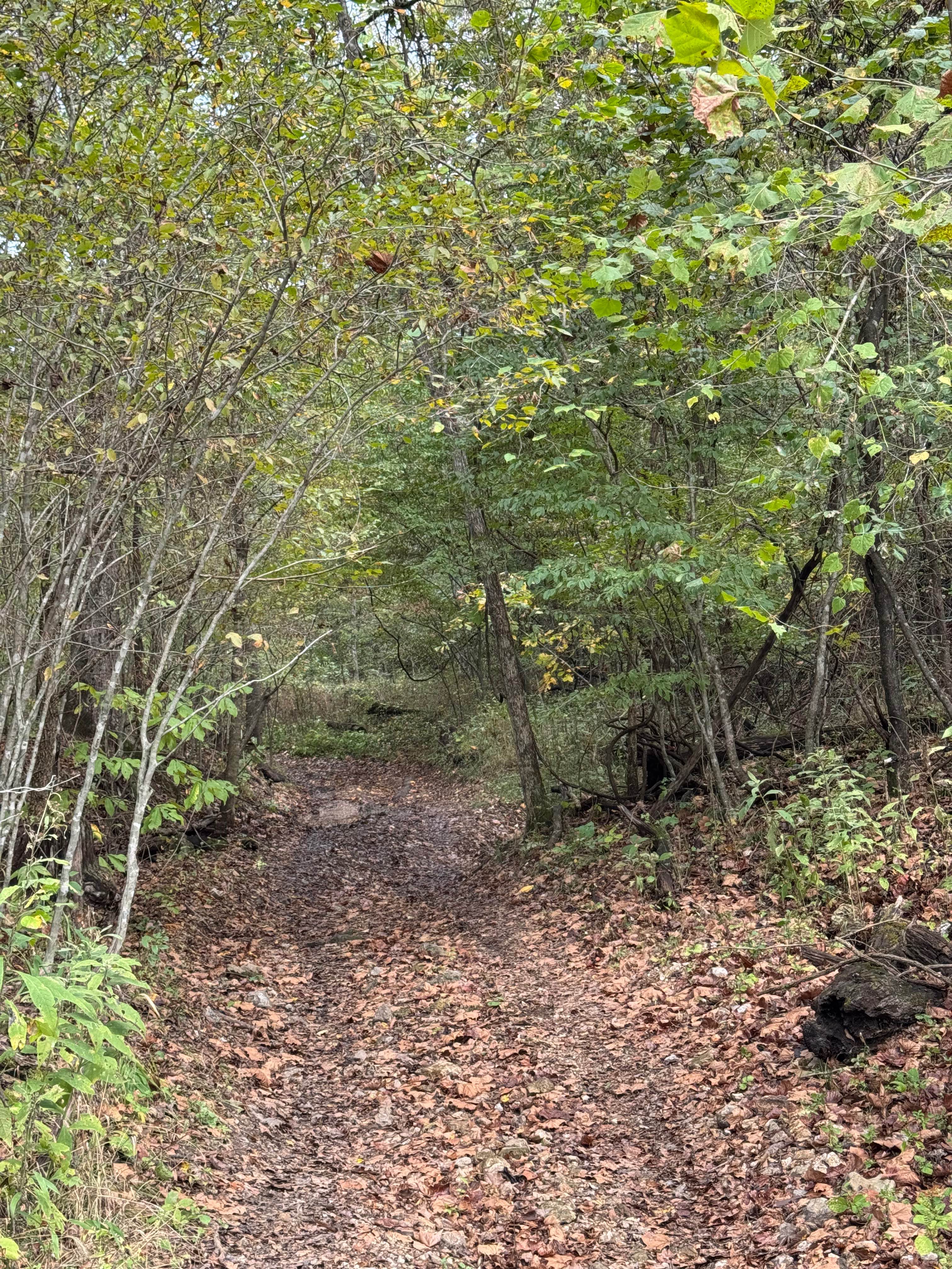
Trail Overview
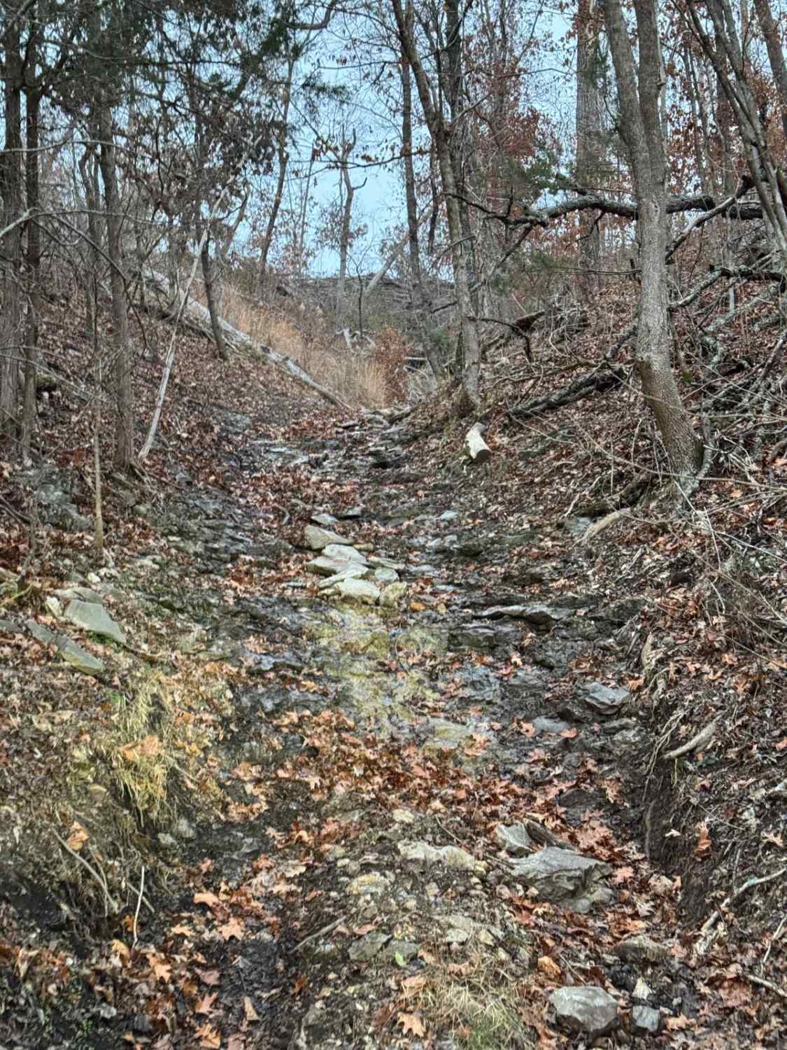
Cedar Bottom FSR 2159, also referred to as Copper Mountain, is a gravel forestry road that is within the Fredericktown Sector of Mark Twain National Forest. It is a mild ride with a slow grade up and a slow grade back down ending at a turnaround spot at the end. The most this road has to challenge is a few water channelizing ruts that form from water runoff from the Copper Mountain top to the east, these can make you pick a line of which is best to approach and bring a little challenge to mostly gravel road. At the end of the road, there is a turnaround spot that features a few camp-able cutouts.
Photos of Cedar Bottom FSR 2159
Difficulty
The difficulty is in the handful of water-channelized ruts that have formed in the road, some drop off easily a foot to 18", have loose rocks in the bottoms, and may feature a mild off-camber feeling as you cross them. You are on the edge of a hill-sized mountain and the road does get reasonably narrow, pinstripes likely. All this said it's a great mild 3/10 to get some experience on, it's not long and has an easy turnaround at the end to head back out. Even in wet conditions, this one would remain a 3/10 just with a little loss of traction, from memory there is only one small spot water could collect, and rocky mud could be present, but water collection would amount to less than a foot if it did. If the road were to be mended, it would easily scale back to a 2/10.
Status Reports
Cedar Bottom FSR 2159 can be accessed by the following ride types:
- High-Clearance 4x4
- SUV
- SxS (60")
Cedar Bottom FSR 2159 Map
Popular Trails
Rock Bottom Bo-Co Road 210

Upper Field Trail
Ranger Smith
The onX Offroad Difference
onX Offroad combines trail photos, descriptions, difficulty ratings, width restrictions, seasonality, and more in a user-friendly interface. Available on all devices, with offline access and full compatibility with CarPlay and Android Auto. Discover what you’re missing today!