Blue Ridge Road
Total Miles
1.7
Technical Rating
Best Time
Fall, Spring
Trail Type
Full-Width Road
Accessible By
Trail Overview
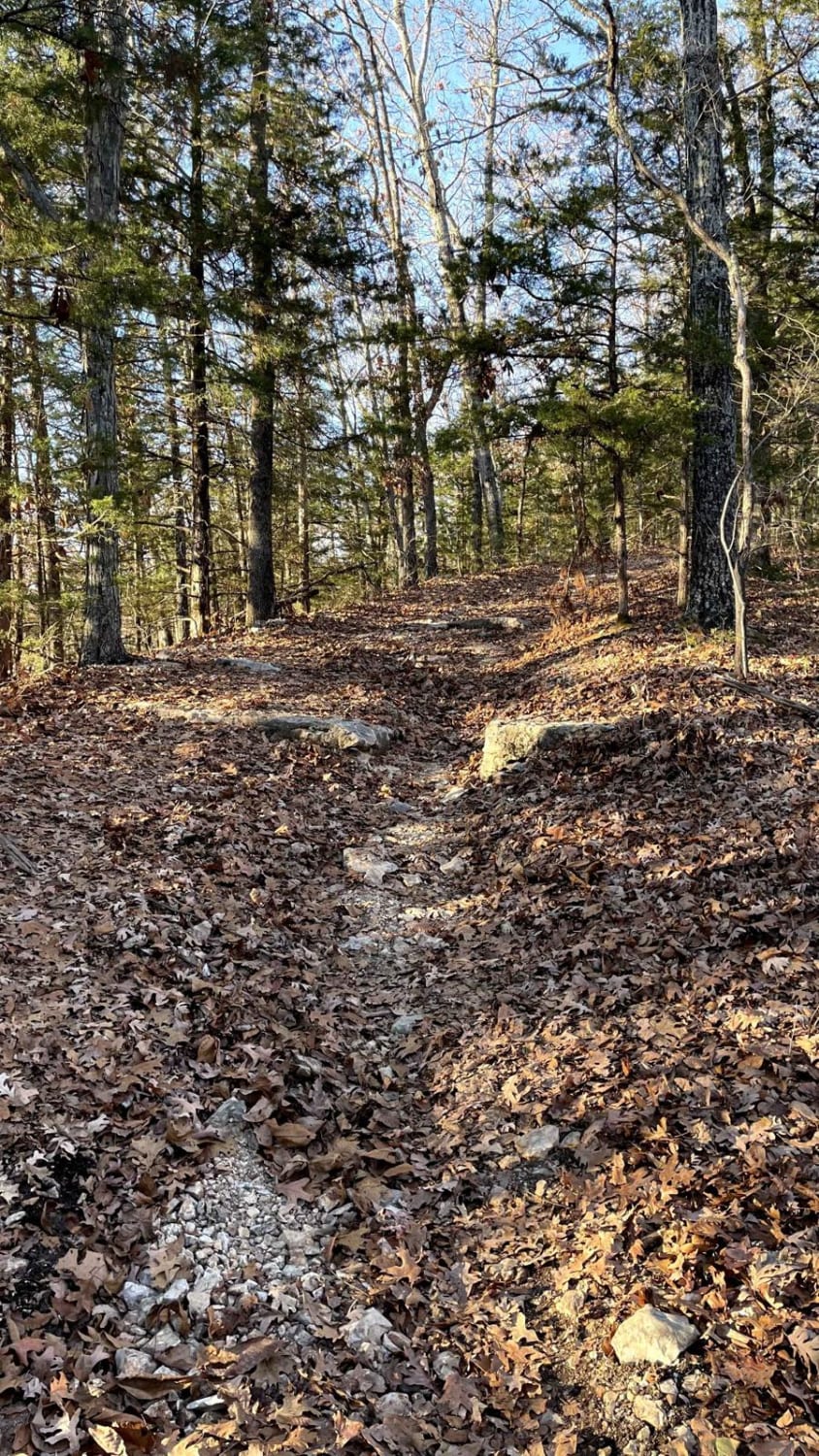
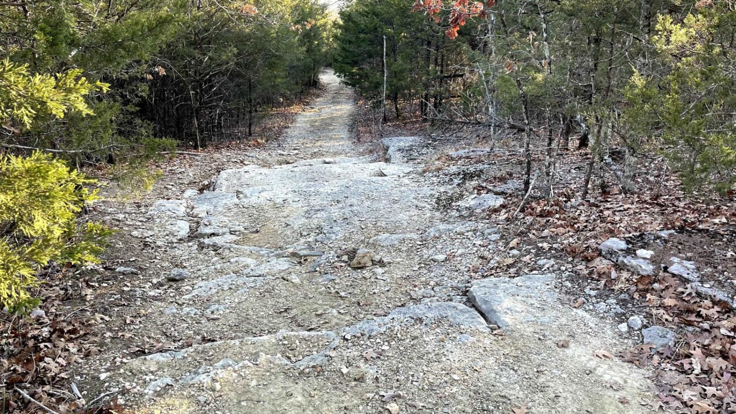
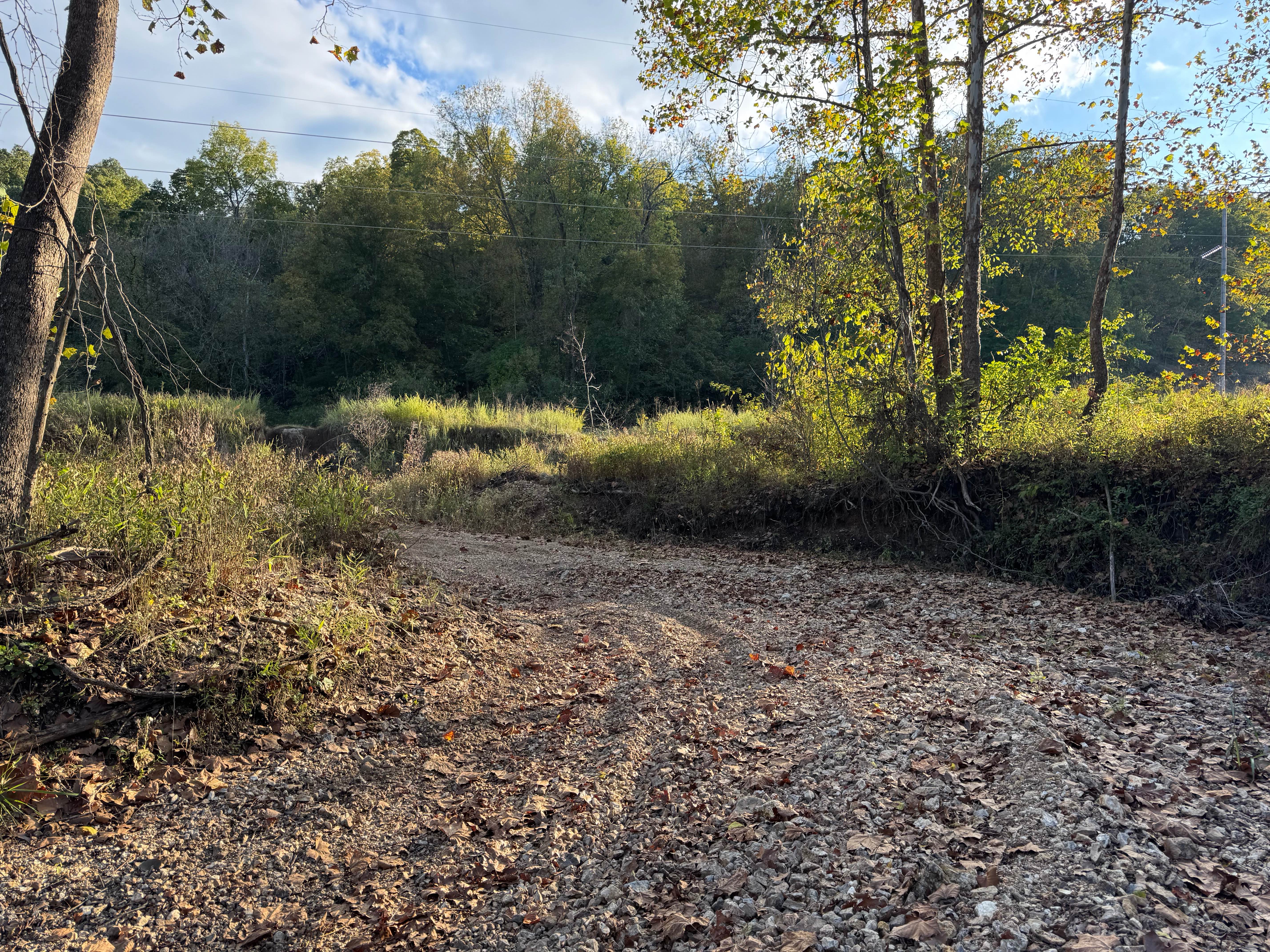
Blue Ridge Road is a spur offering additional access to Mark Twain National Forest. This route eventually dissolves into no discernible trail and should be considered an out-and-back. The route is characterized by heavy foliage and some chunky rocks scattered throughout, including a rock step section. There is little room to turn around without making your way toward the end of the trail, where one can find dispersed camping opportunities as well as some smaller ATV-accessible routes. Leave no trace, and pack out what you pack in.
Photos of Blue Ridge Road
Difficulty
The rating for this route is primarily due to a set of rock steps that may be unfavorable for low clearance or stock vehicles.
Status Reports
Blue Ridge Road can be accessed by the following ride types:
- High-Clearance 4x4
- SUV
- ATV (50")
- Dirt Bike
Blue Ridge Road Map
Popular Trails


Yellow 159

Garwood Tower - RCR 570
The onX Offroad Difference
onX Offroad combines trail photos, descriptions, difficulty ratings, width restrictions, seasonality, and more in a user-friendly interface. Available on all devices, with offline access and full compatibility with CarPlay and Android Auto. Discover what you’re missing today!