Corner - FSR 2113
Total Miles
3.7
Technical Rating
Best Time
Spring, Summer, Fall, Winter
Trail Type
Full-Width Road
Accessible By
Trail Overview
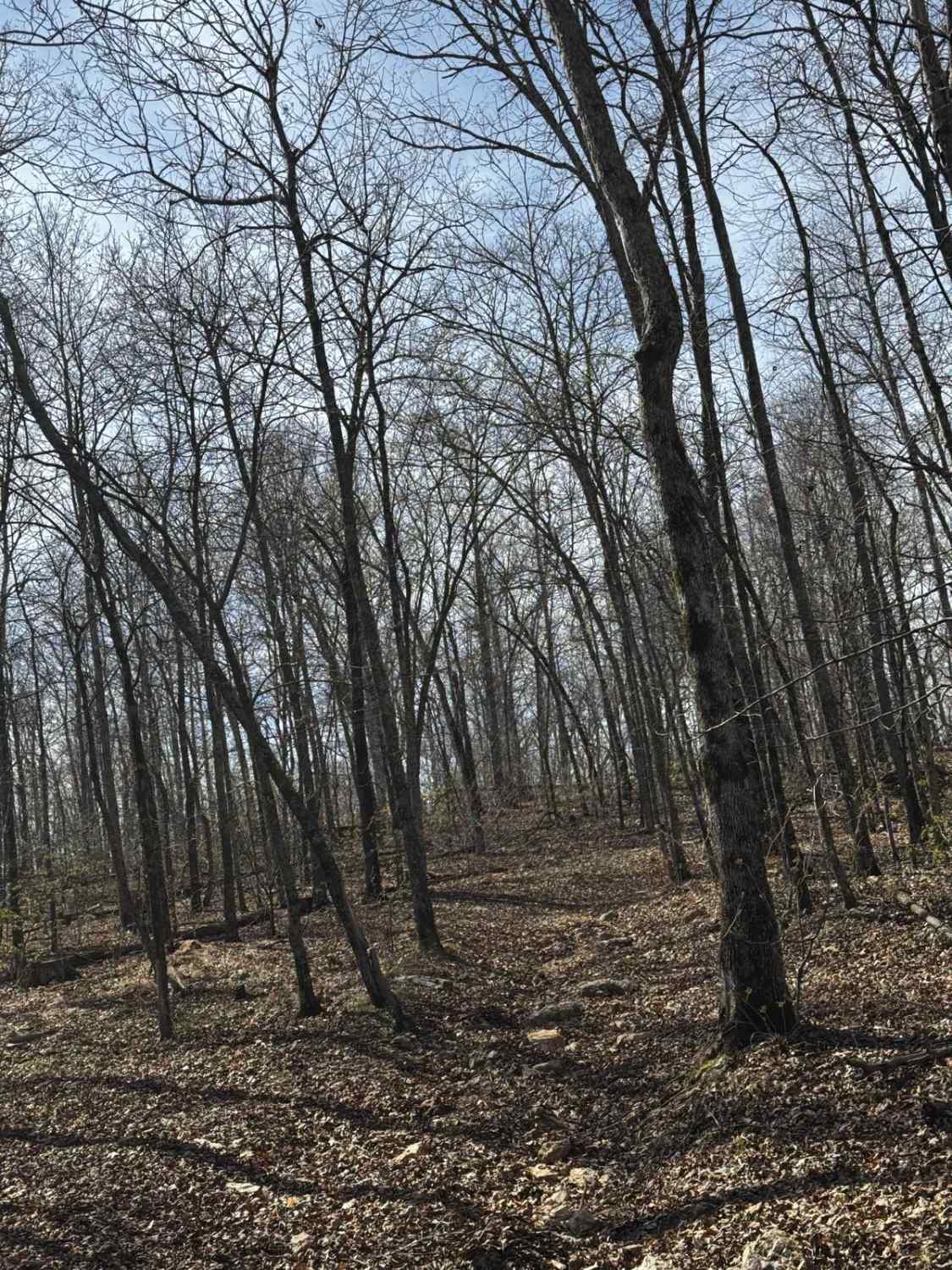
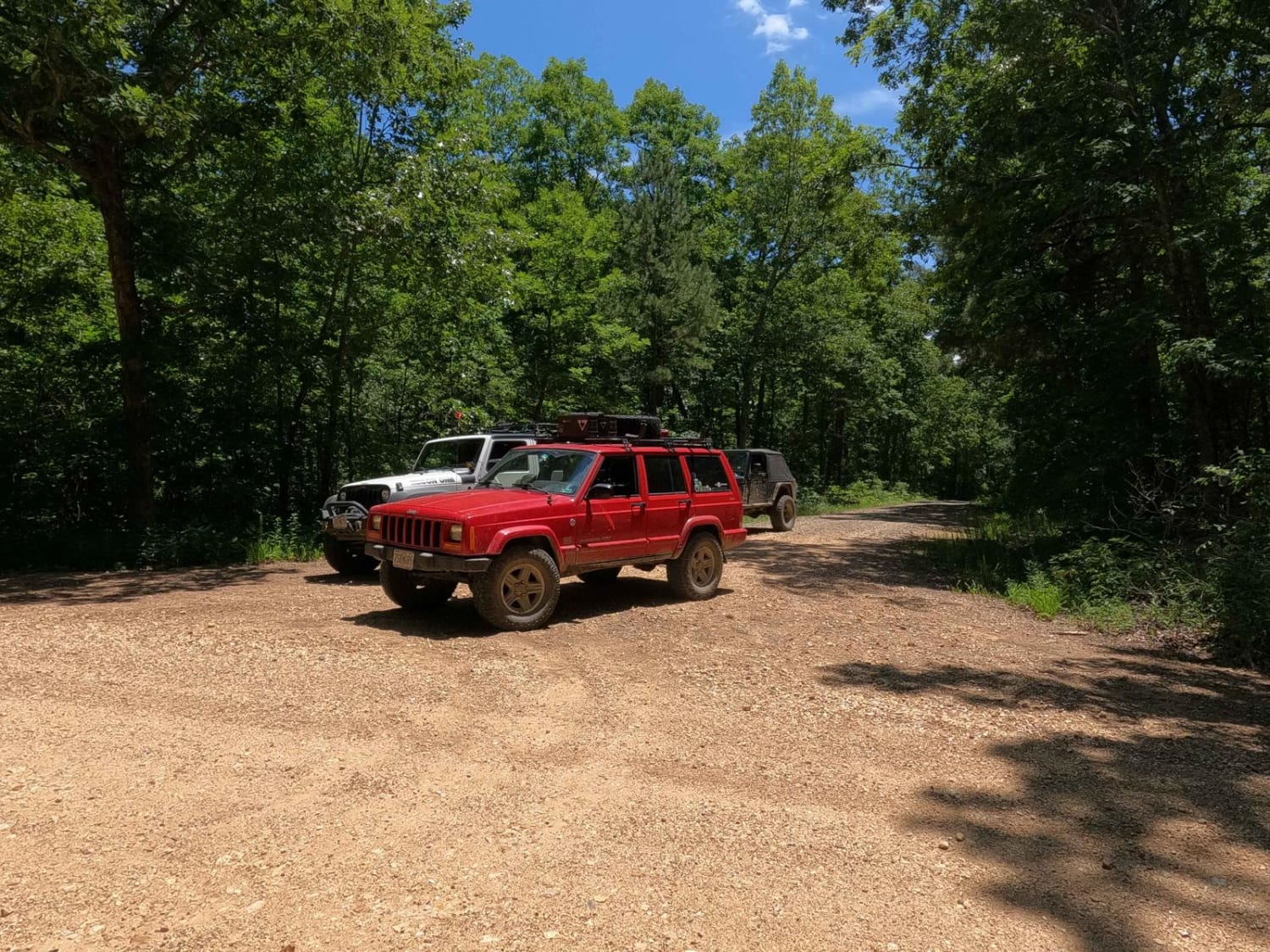
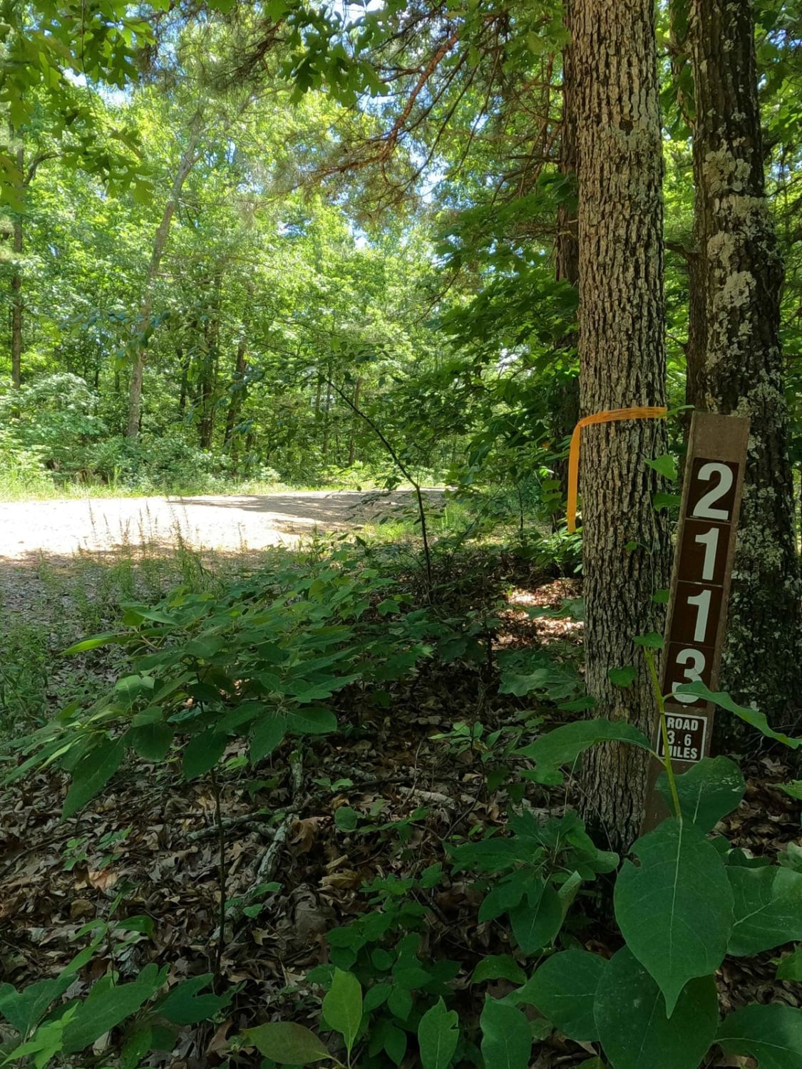
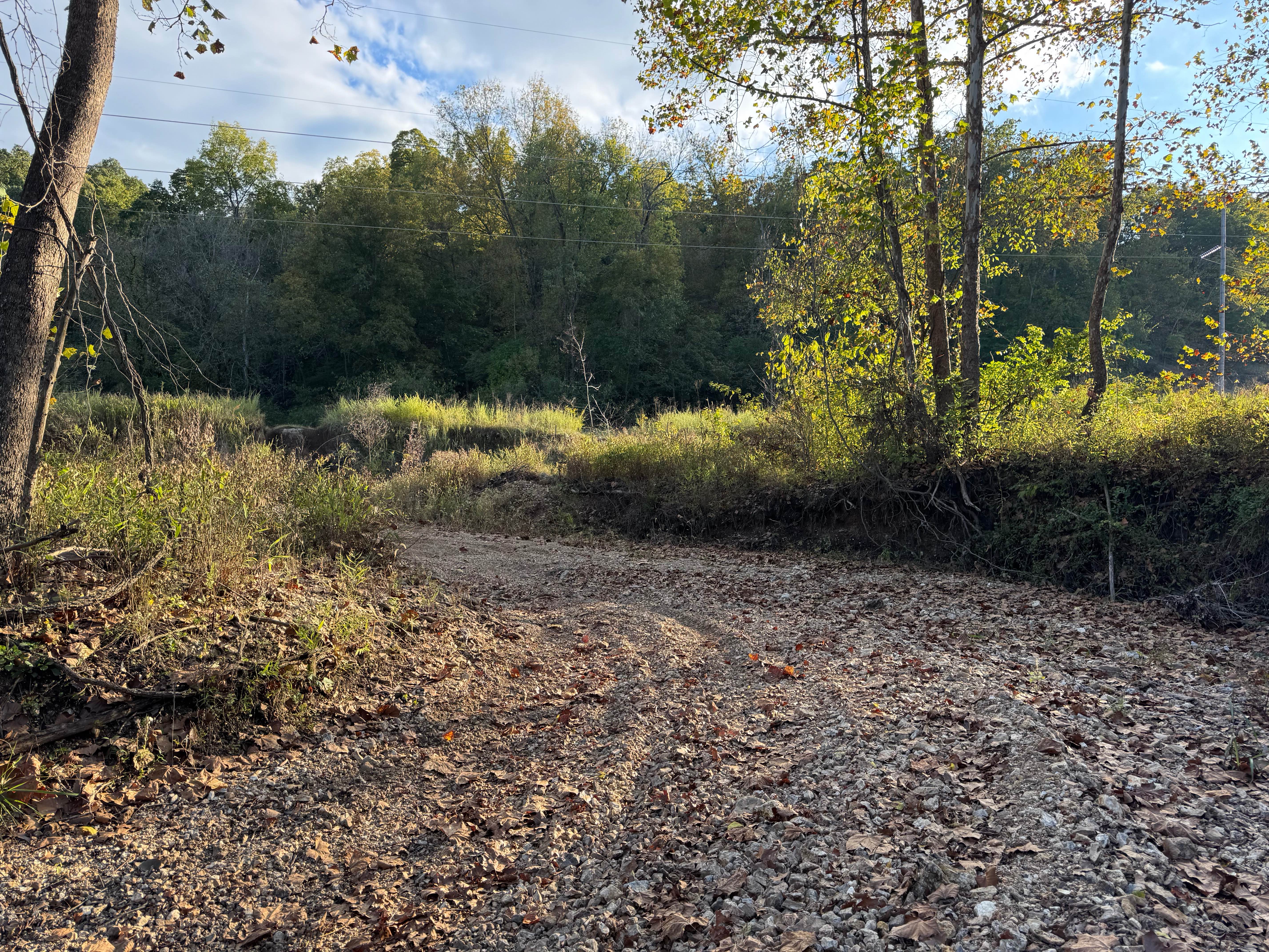
Corner - FSR 2113, is an easy-going gravel forestry road through the Fredericktown sector of Mark Twain National Forest. It features small rolling hills with mild climbs, mild feeder creek crossings, and several campable cutouts along its path. The primary draw to the road appears to be hunting season, especially with the large amounts of wood and water sources surrounding the road. The few creek crossings along the way are feeder branches leading to the Crane Pond Creek, which ultimately feeds Crane Lake. The road surface appears to have gone through an overhaul as of recently (6/2023), with fresh gravel being poured on a majority of the road surface including places to pass. The road begins at Warren Hill Road aka Iron County Road 124, and travels southward until it wraps beneath the southern side of Crane Lake, ending at a closed gate at 37.41243, -9062694.
Photos of Corner - FSR 2113
Difficulty
The biggest difficult to Corner is the mild hills and very small creeks you have to cross, these creeks were nearly dry when crossed in June 2023, but could have water collection in them in heavily wet or rainy conditions. This all said given a 1/10 base rating for its simplicity, but could elevate in difficulty with the presence of water, but shouldn't be any more than a 2/10 rating.
Status Reports
Corner - FSR 2113 can be accessed by the following ride types:
- High-Clearance 4x4
- SUV
- SxS (60")
Corner - FSR 2113 Map
Popular Trails

Slip and Slide 210

Hillside Loop 1
The onX Offroad Difference
onX Offroad combines trail photos, descriptions, difficulty ratings, width restrictions, seasonality, and more in a user-friendly interface. Available on all devices, with offline access and full compatibility with CarPlay and Android Auto. Discover what you’re missing today!


