Bidwell FSR 2199
Total Miles
11.9
Technical Rating
Best Time
Spring, Fall
Trail Type
Full-Width Road
Accessible By
Trail Overview
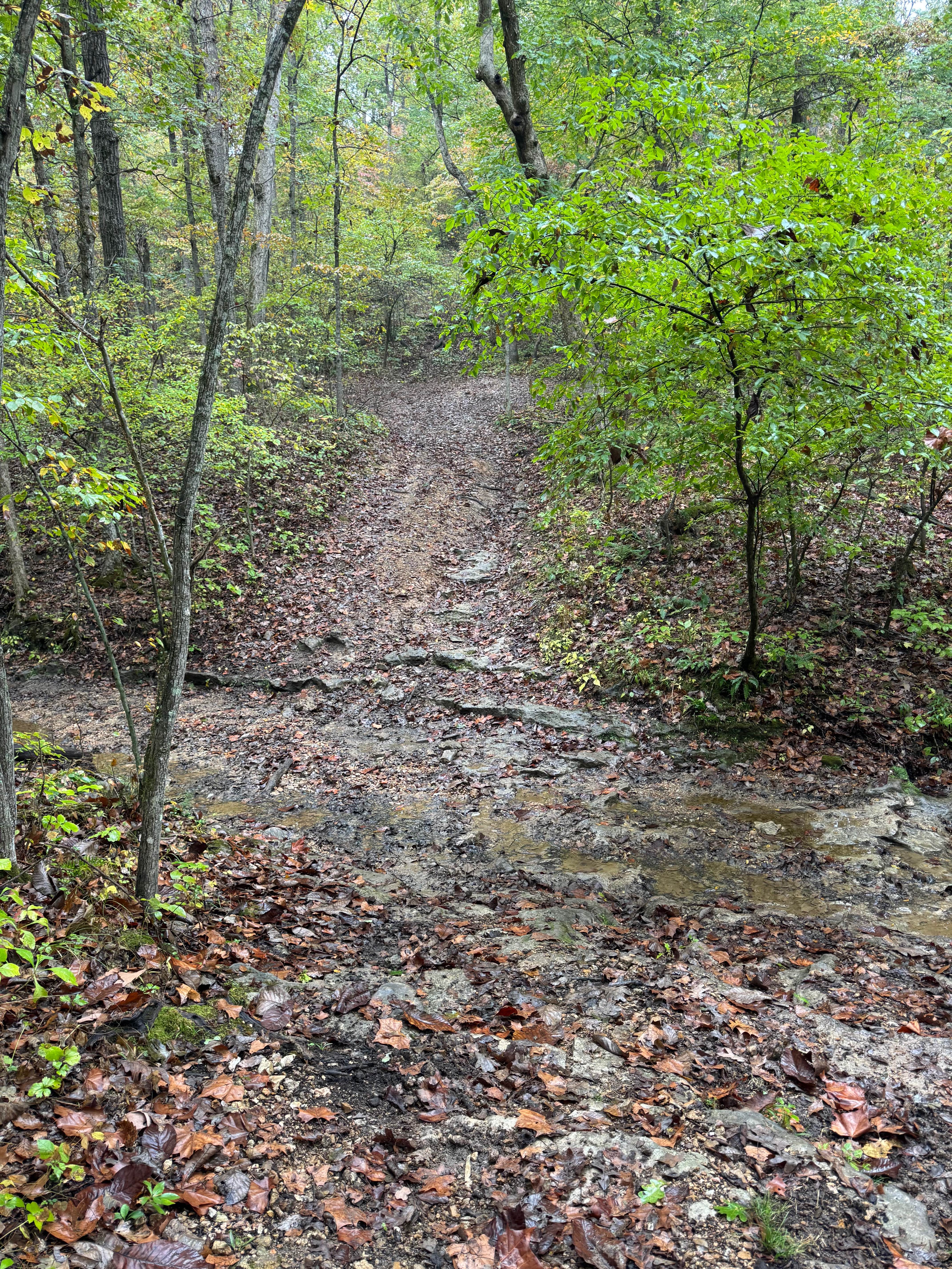
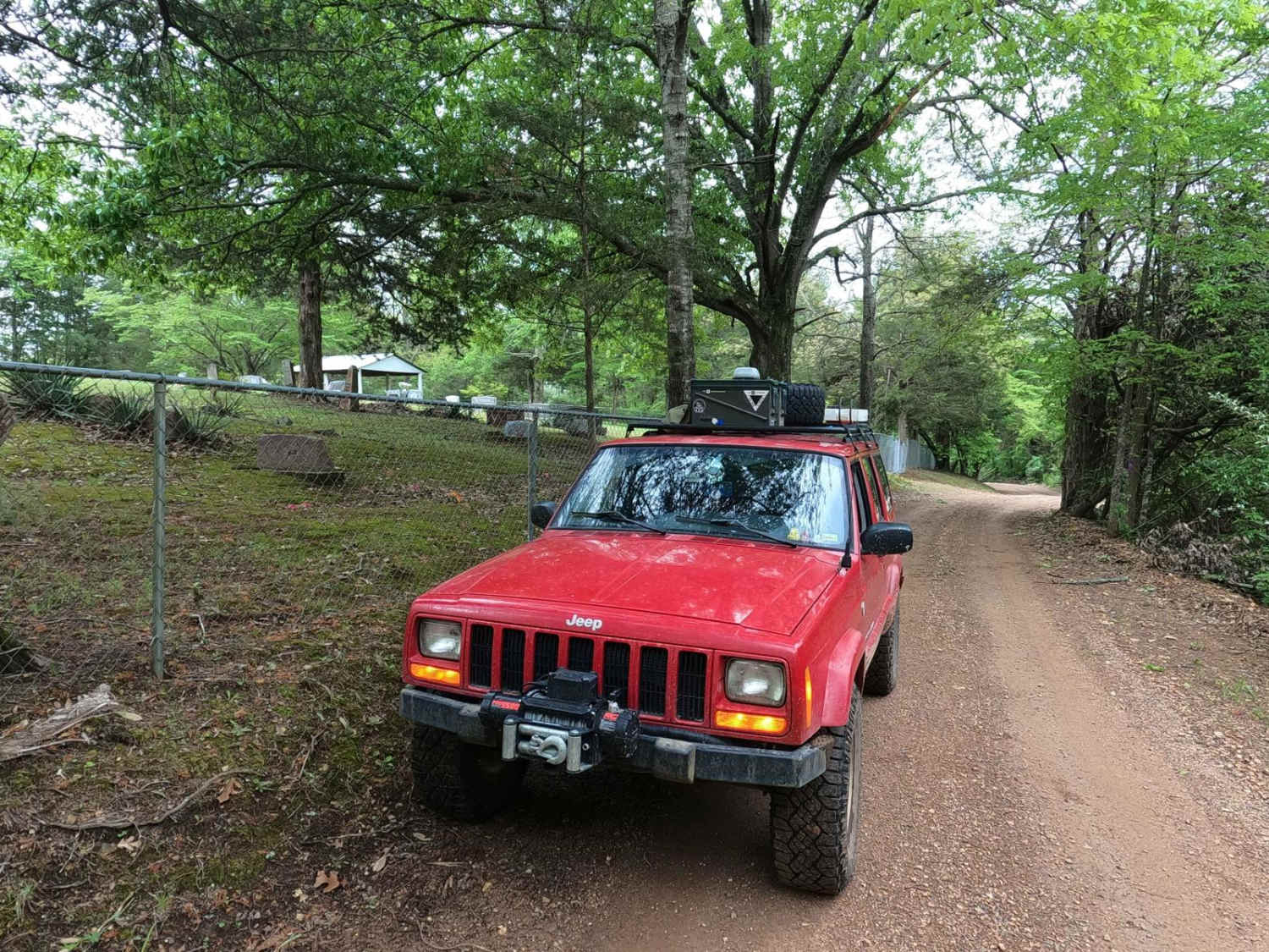
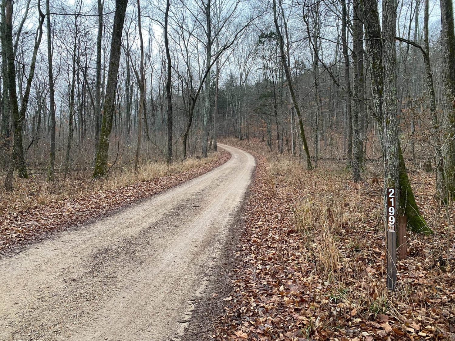
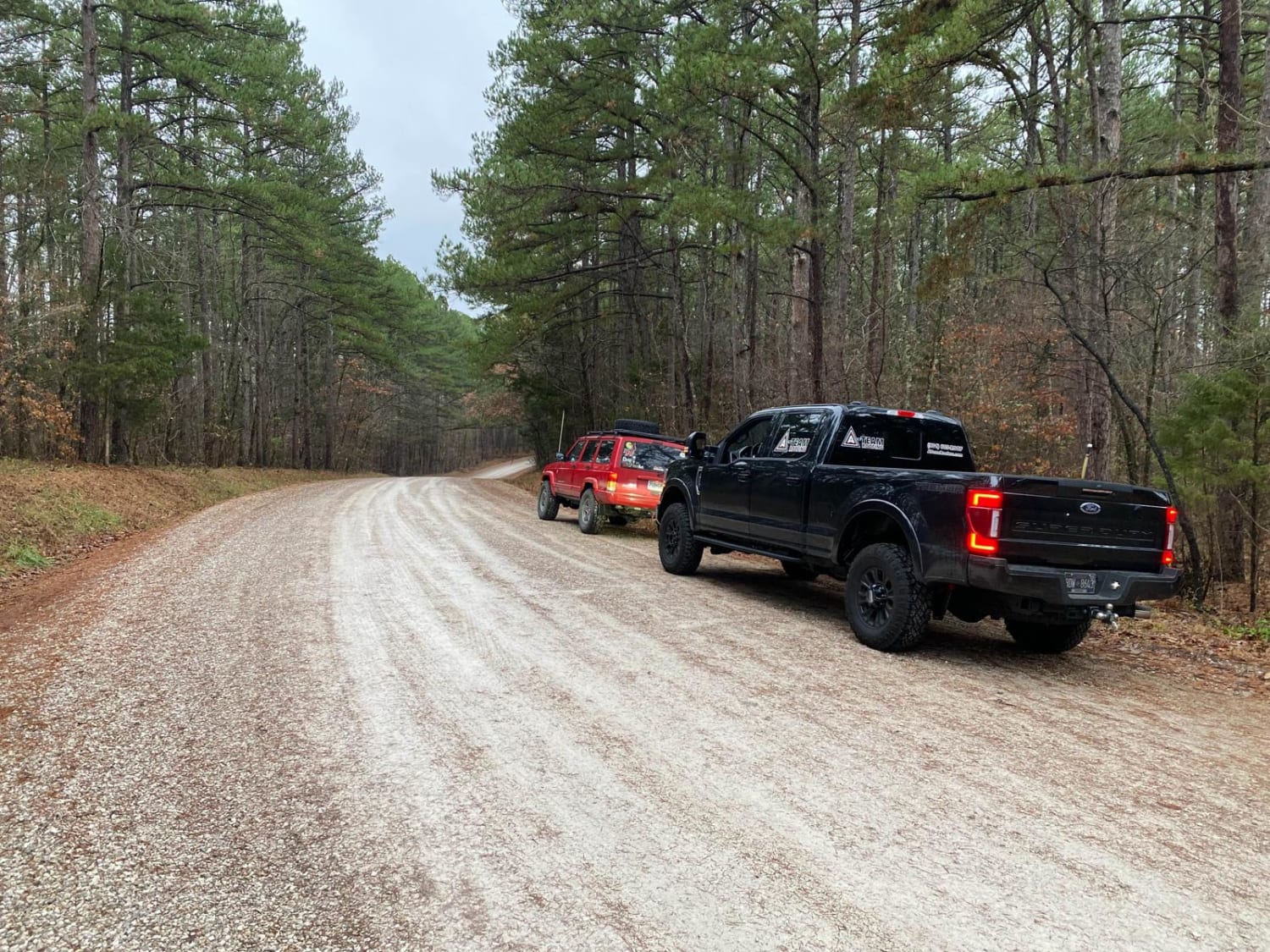
Bidwell FSR 2199, is a gravel forestry road that travels through Mark Twain National Forest. Bidwell is one of the longest forestry routes on the eastern side of the forest clocking in at 8.6 forestries serviced miles or 11.85 with the gravel roads that feed into it. Bidwell features many steep grades, climbing nearly 600 feet twice in its pathway. The condition of the road is mostly gravel, but it fades in places to partial dirt with occasional large rocks poking out of the road surface. The trail also features two natural creek crossings and one concrete-bottomed low water bridge. There are several hiking trails and camping cutouts along the road. Difficulty increases at the water crossings with heavy rain.
Photos of Bidwell FSR 2199
Difficulty
The two natural water crossings are the biggest concerns with Bidwell, they could get deep with heavy rain, shortly after that is the constant steep grades leading you up and down as you traverse it's landscape. The dirt sections of the road get slick when wet, and appears to be clay like dirt that tends to stick to wheels.
Status Reports
Bidwell FSR 2199 can be accessed by the following ride types:
- High-Clearance 4x4
- SUV
Bidwell FSR 2199 Map
Popular Trails

Creek Crossing

Murphy Cemetery Road

Yellow 332

Fort Bald - FS 612
The onX Offroad Difference
onX Offroad combines trail photos, descriptions, difficulty ratings, width restrictions, seasonality, and more in a user-friendly interface. Available on all devices, with offline access and full compatibility with CarPlay and Android Auto. Discover what you’re missing today!

