Big Gulch - FS 497
Total Miles
2.1
Technical Rating
Best Time
Spring, Summer, Fall, Winter
Trail Type
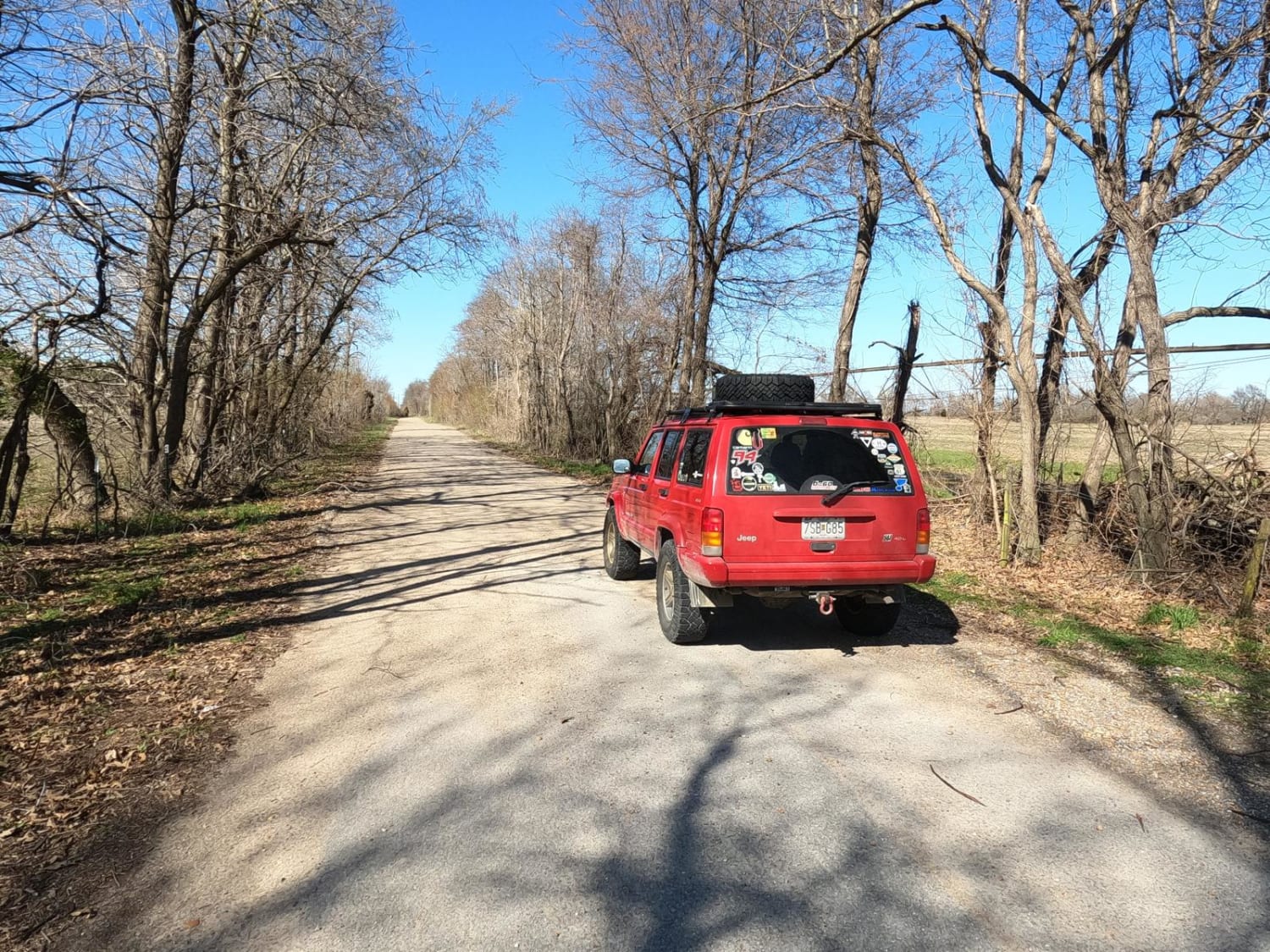
Full-Width Road
Accessible By
Trail Overview
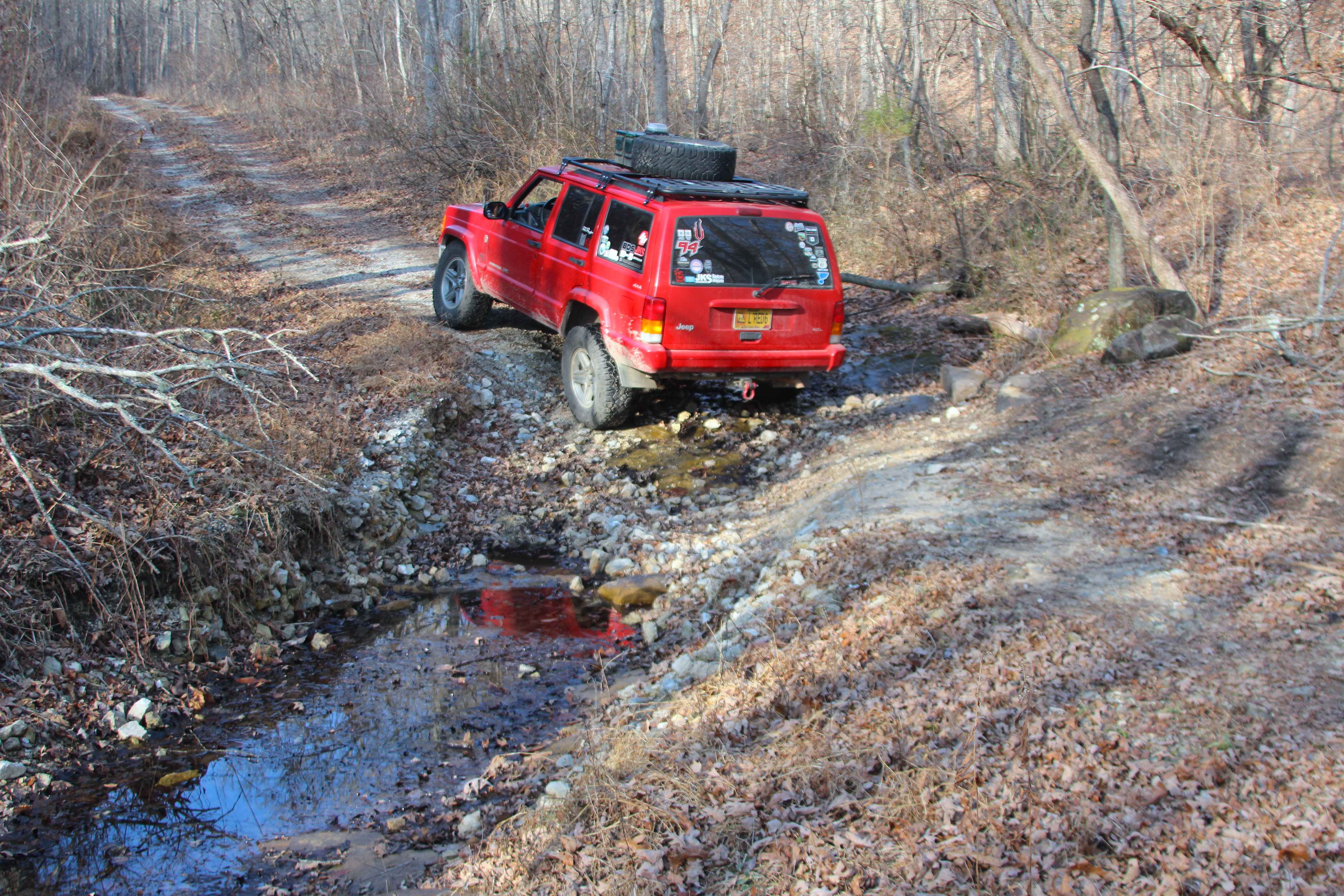
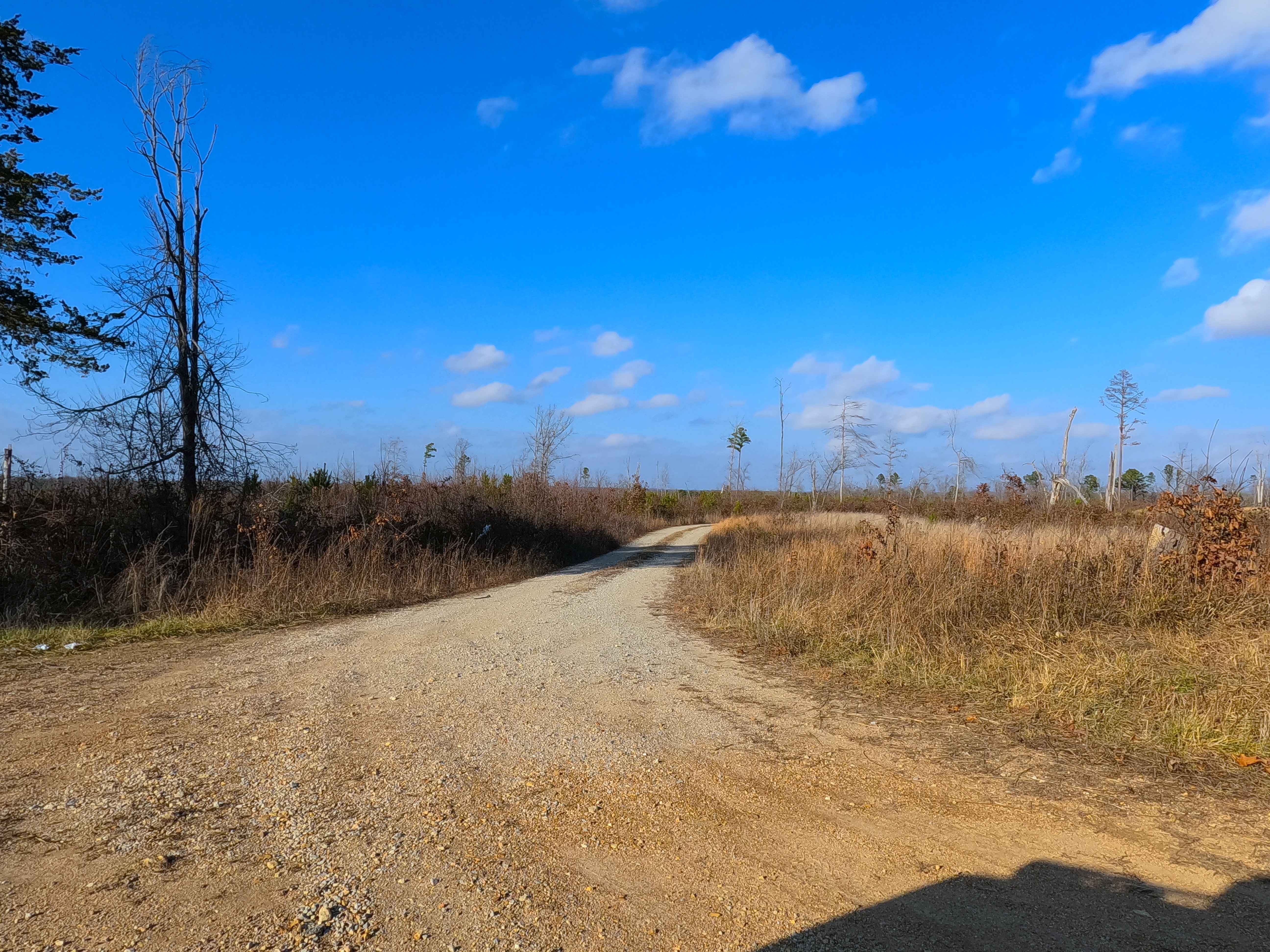
Big Gulch (FS 497) is a semi-maintained gravel, transitioning to natural coarse gravel and dirt, forest service road within Mark Twain National Forest, Willow Springs Unit. The road begins at the Douglas County Road 160, heading north into a large logging area along the hilltop, where views are plentiful surrounding this portion of the road. At the half-mile mark, the road enters a wooded section and goes downhill moderately into the valley bottoms, crossing a small water runoff channel near the bottom. After passing the runoff, the track aligns going east to west, as it levels out in a valley bottom going over creek bottom gravel, as it follows along the side of a feeder creek that flows westward towards the Hungry Creek. The track crosses this creek twice, both over coarse creek gravel, cobbles, and small boulders. After the second crossing of the main feeder creek, the track realigns going north uphill in the notch of the valley, which has a small brook flowing to the main feeder creek. This brook is crossed several times as it climbs in elevation, with scenic bluffs on the east, featuring splash level water, large cobbles, and small boulders exposed in this brook. The road finally diverts from the valley notch and cuts to the west side, hill climbing to the ridge tops, where the track again levels out on the ridge top, tracking along dense forest and a natural gravel and dirt path to an opening where the MVUM-sanctioned road ends. Users must turn around and head back out the way they entered.
Photos of Big Gulch - FS 497
Difficulty
Big Gulch is given a base rating of 3/10 for the center creek section and valley bottoms, where the track features small splash creek crossings, cobble rock, and small boulders, while having steep ramps in and out of the brook while traversing large rocks. The track also features a steeply graded hill on either side of the creek valley, with mild washes and active erosion. On the far east section of the road, it is safe to expect the normal gravel road complications of potholes, washboards, and mounding of the gravel. Difficulty would increase in times of flash flooding, inclement or wet weather, with a potential for 1 to 2 foot water depth in the feeder creek, though this appears to be infrequent. Difficulty could also decrease to 2/10 if the uphill brook section were to be mended with culverts, as these ramps in and out of the brook over large rocks are the biggest features currently giving it the 3/10 rating.
Status Reports
Big Gulch - FS 497 can be accessed by the following ride types:
- High-Clearance 4x4
- SUV
- SxS (60")
- ATV (50")
- Dirt Bike
Big Gulch - FS 497 Map
Popular Trails

Sasquatch Way
Camp Loop 2
FSR606 Brushy Ridge
Scott County Road 405
The onX Offroad Difference
onX Offroad combines trail photos, descriptions, difficulty ratings, width restrictions, seasonality, and more in a user-friendly interface. Available on all devices, with offline access and full compatibility with CarPlay and Android Auto. Discover what you’re missing today!