Blind Raccoon Bo-Co Road 360
Total Miles
2.6
Technical Rating
Best Time
Summer, Fall, Spring
Trail Type
Full-Width Road
Accessible By
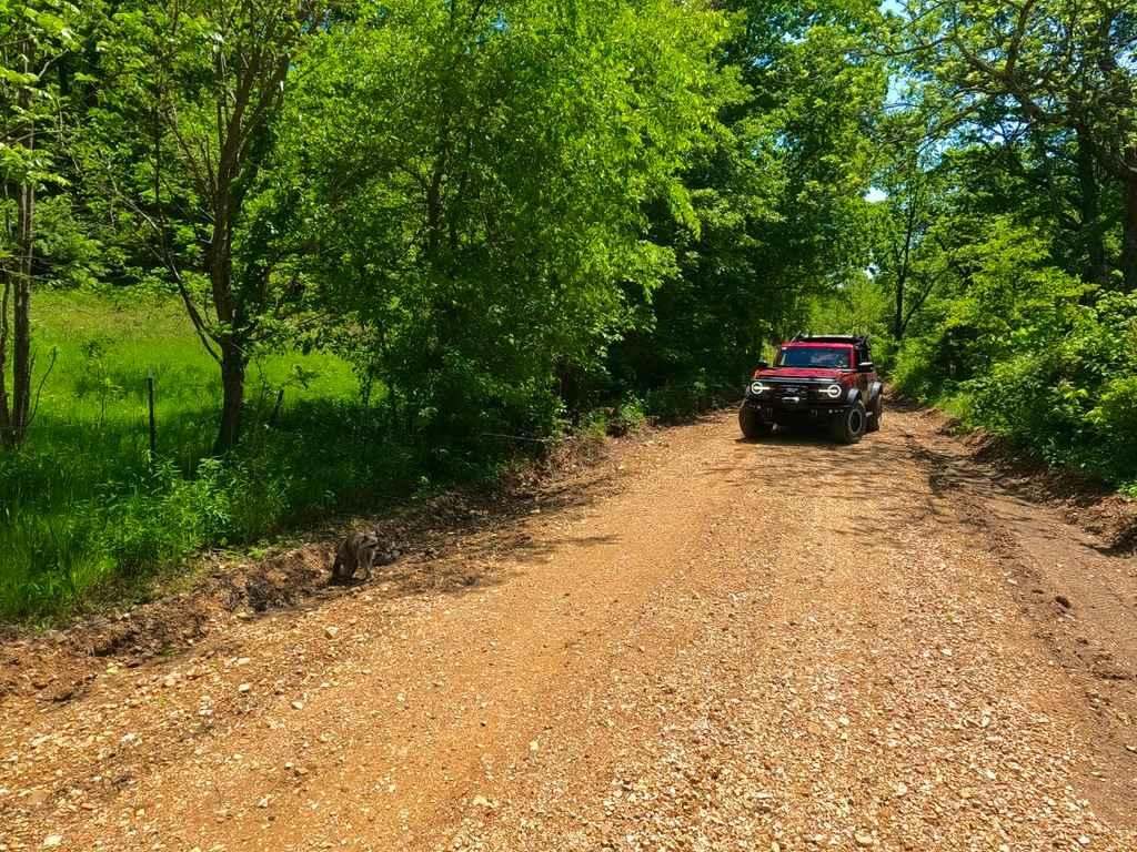
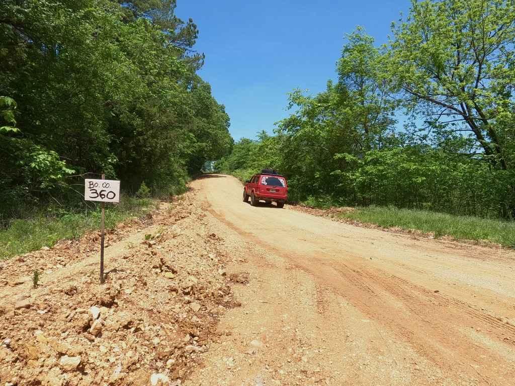
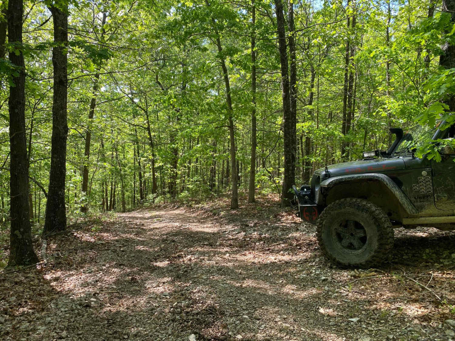
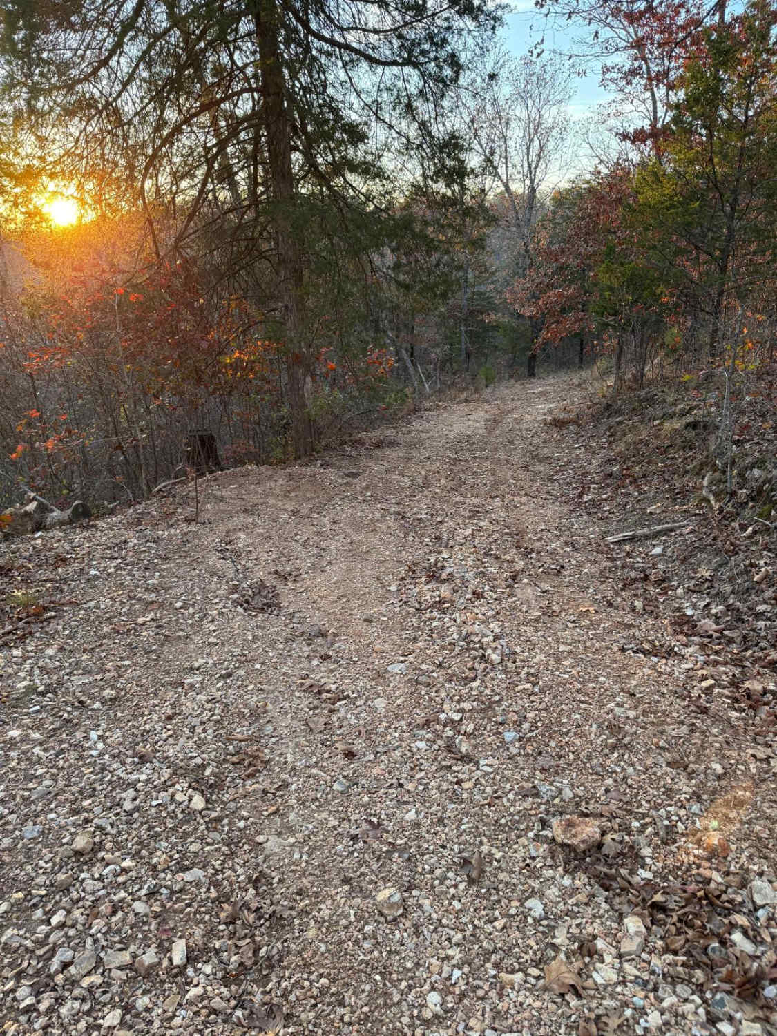
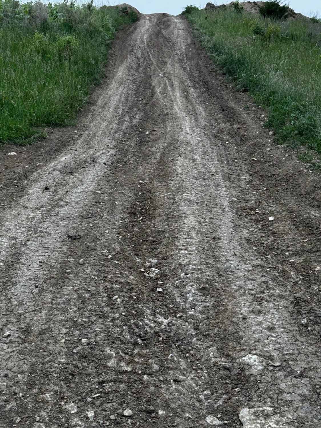
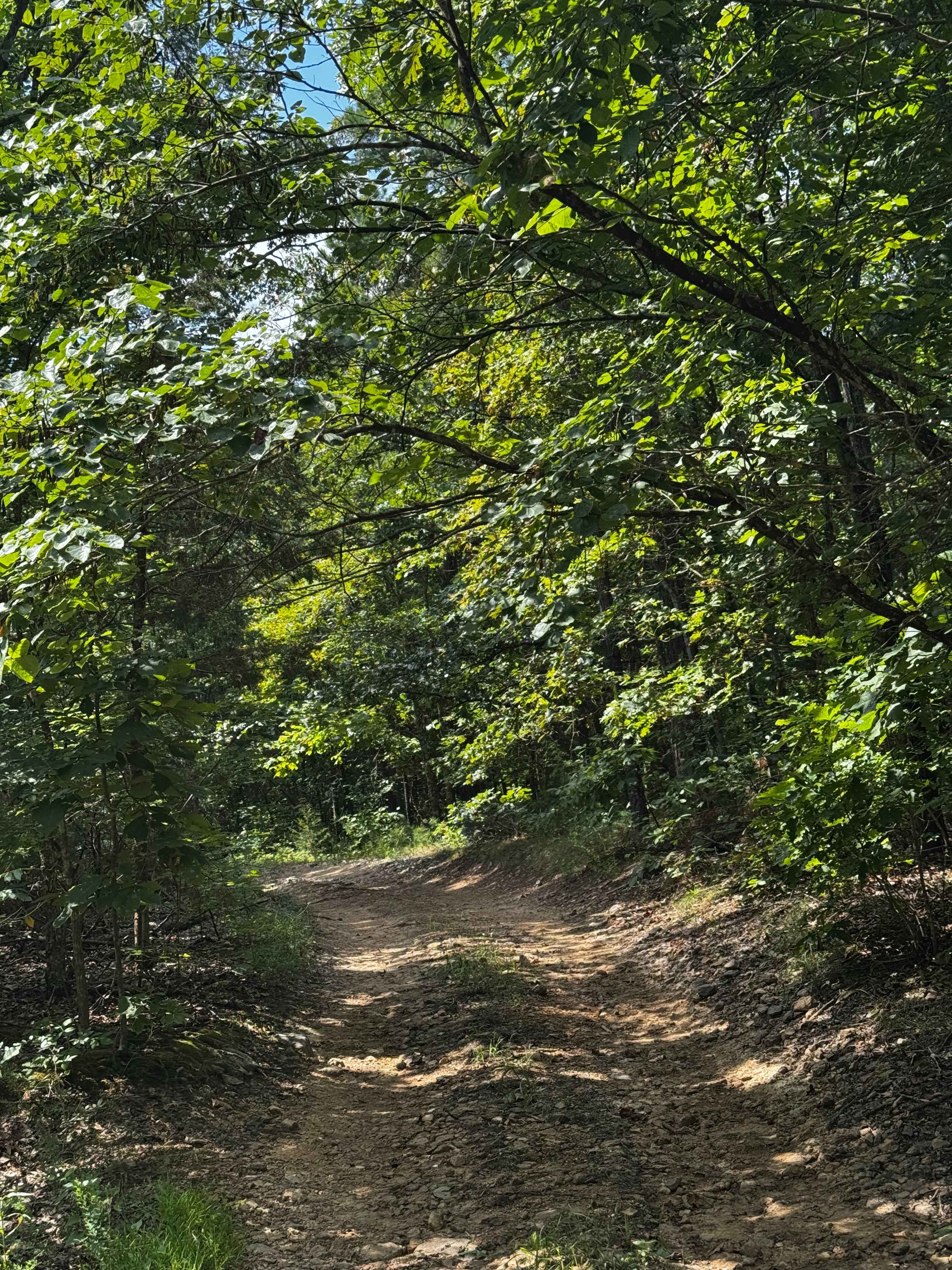
Trail Overview
The Blind Raccoon or Bollinger County Road 360 is a gravel county road going through the rocky rolling hills of the area, down into the creek bottoms, the north end features a hill that has some miner erosion ruts and can become sloppy when wet, it also crosses the Little Whitewater Creek with a low water bridge to connect to the Bo-Co 376. On the south end you parallel a feeder creeks to the Yantz Branch and the road has a feel that it once was apart of the bottoms but has since been made a more permanent gravel road. Also on the south end, there is a blind Raccoon that likes to wonder the area and uses the road as it's main transport, keep an eye out for him. Another piece of the hilly countryside backroad riding network of Bollinger County.
Photos of Blind Raccoon Bo-Co Road 360
Difficulty
The difficulty of the area is usually based on two things, how wet it is and how neglected is this road. This is a great example of a road that can swing from stable and easy to ride all the way over to wet and a subtle challenge when heavily wet, your biggest concern would be flash flooding in the event of heavy rains or a very wet season. Due to the potential water crossings, this road receives a 2/10.
Status Reports
Blind Raccoon Bo-Co Road 360 can be accessed by the following ride types:
- High-Clearance 4x4
- SUV
Blind Raccoon Bo-Co Road 360 Map
Popular Trails
Jeepers Sleepers
The onX Offroad Difference
onX Offroad combines trail photos, descriptions, difficulty ratings, width restrictions, seasonality, and more in a user-friendly interface. Available on all devices, with offline access and full compatibility with CarPlay and Android Auto. Discover what you’re missing today!