Cistern Ridge - FS 2478
Total Miles
3.7
Technical Rating
Best Time
Spring, Summer, Fall, Winter
Trail Type
Full-Width Road
Accessible By
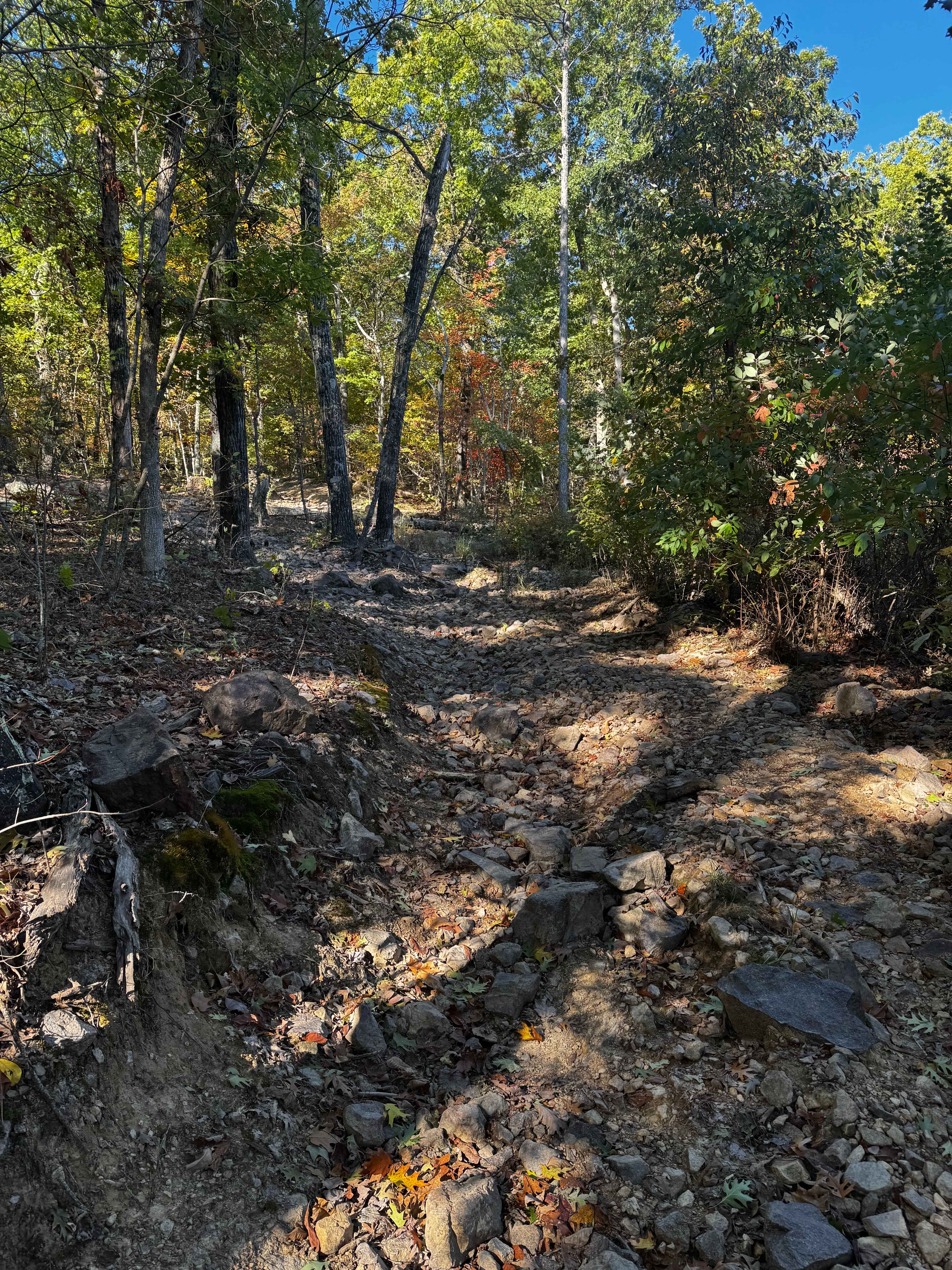
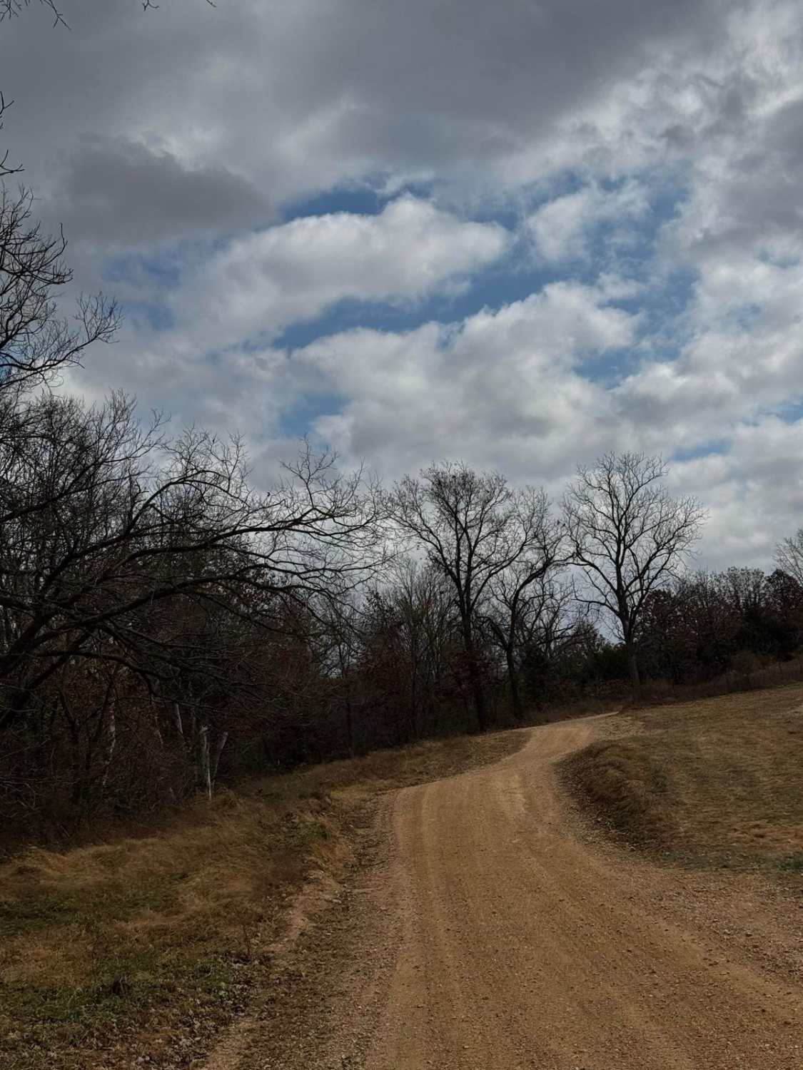
Trail Overview
Cistern Ridge FS 2478, is a semi-maintained gravel forest road within the Potosi Unit of Mark Twain National Forest. The road features a ridge-top ride on the hill separating Clayton Creek and its many branch/feeder creeks to the East and the Middle Fork Black River to the West. Along the way, there are small water collection spots, surface mud, and coarse rock with small active erosion on the road's mild graded hills. Along the track, there are several cutouts and old spur roads to use for dispersed camping or to pull off and take a break, enjoying the peaceful vibes of this dead-end system. The road also closely parallels and crosses (4 times total, the first being at 37.66456, -90.98478), the Fifth Principle Meridian, a survey line used for 6 states, that dates back to the Louisiana Purchase. Once at the MVUM-sanctioned end, turn around and return the way you entered.
Photos of Cistern Ridge - FS 2478


Difficulty
FS 2478 is given a base rating of 1/10 being a semi maintained gravel road, riding the spines of the ridge top, having mild hills, with spots of small active erosion, soft spots of surface mud, small loose cobbles and natural rock poking out at the surface. It is safe to expect all the normal gravel road complications of washboards, mounding, and potholes. The difficulty could increase due to lack of maintenance or extremely wet and inclement conditions.
History
In 1968, on the Johnson Mountain, MO topo, is the first time that Cistern Ridge shows on a map; at this point, it was part of the Clark National Forest before the later consolidation into the Mark Twain National Forest in 1976. On this old map, Cistern Ridge has an interesting notation, being a black dashed line simply called "Jeep Trail", which once connected between MO-32 to the midway point of Clayton Creek Road - ICR 65. This showed as such through the 1987 Farmington, MO topo, before the 1999 Johnson Mountain topo, which illustrated it as a more traditional FS Road, noting it as the 2478, but removed the last section that connects the ridge to the valley ending at Clayton Creek Road, as it has remain unchanged to present day (6/2025). The road also closely follows and crosses the "Fifth Principal Meridian", which is a land survey line that was created after the 1803 Louisiana Purchase, first being surveyed in 1815, and as of 2025 is still used as the official land survey line in 6 states, 4 of which are statewide, and 2 partially used. Documented By Christopher Menz - OnX Expert Trail Guide 6-2025.
Status Reports
Cistern Ridge - FS 2478 can be accessed by the following ride types:
- High-Clearance 4x4
- SUV
Cistern Ridge - FS 2478 Map
Popular Trails

Nasty Climb 1
Eastern Lower

Main Park Entrance Trail
The onX Offroad Difference
onX Offroad combines trail photos, descriptions, difficulty ratings, width restrictions, seasonality, and more in a user-friendly interface. Available on all devices, with offline access and full compatibility with CarPlay and Android Auto. Discover what you’re missing today!