Chug-A-Lug - FS 446
Total Miles
1.7
Technical Rating
Best Time
Spring, Summer, Fall, Winter
Trail Type
Full-Width Road
Accessible By
Trail Overview
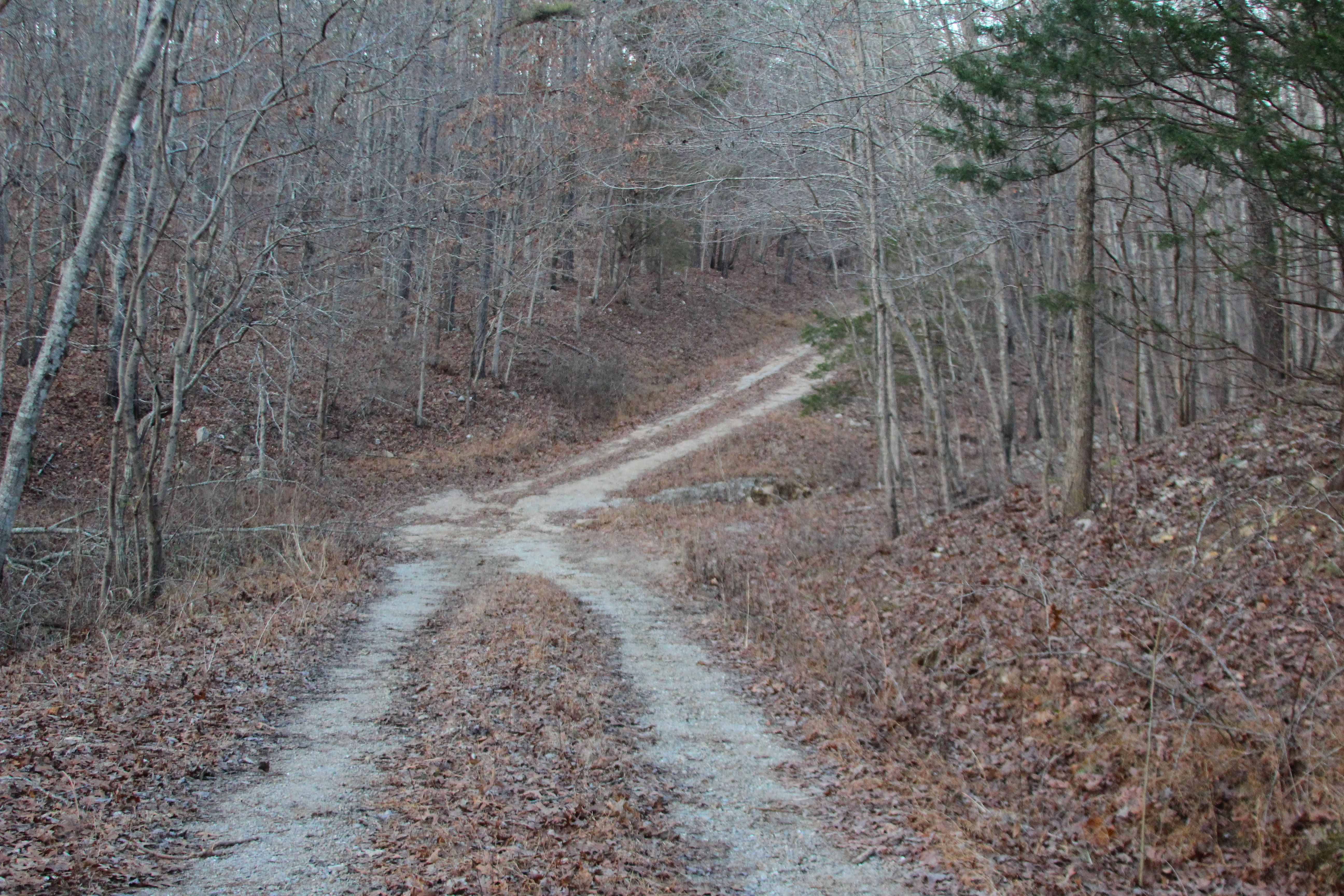
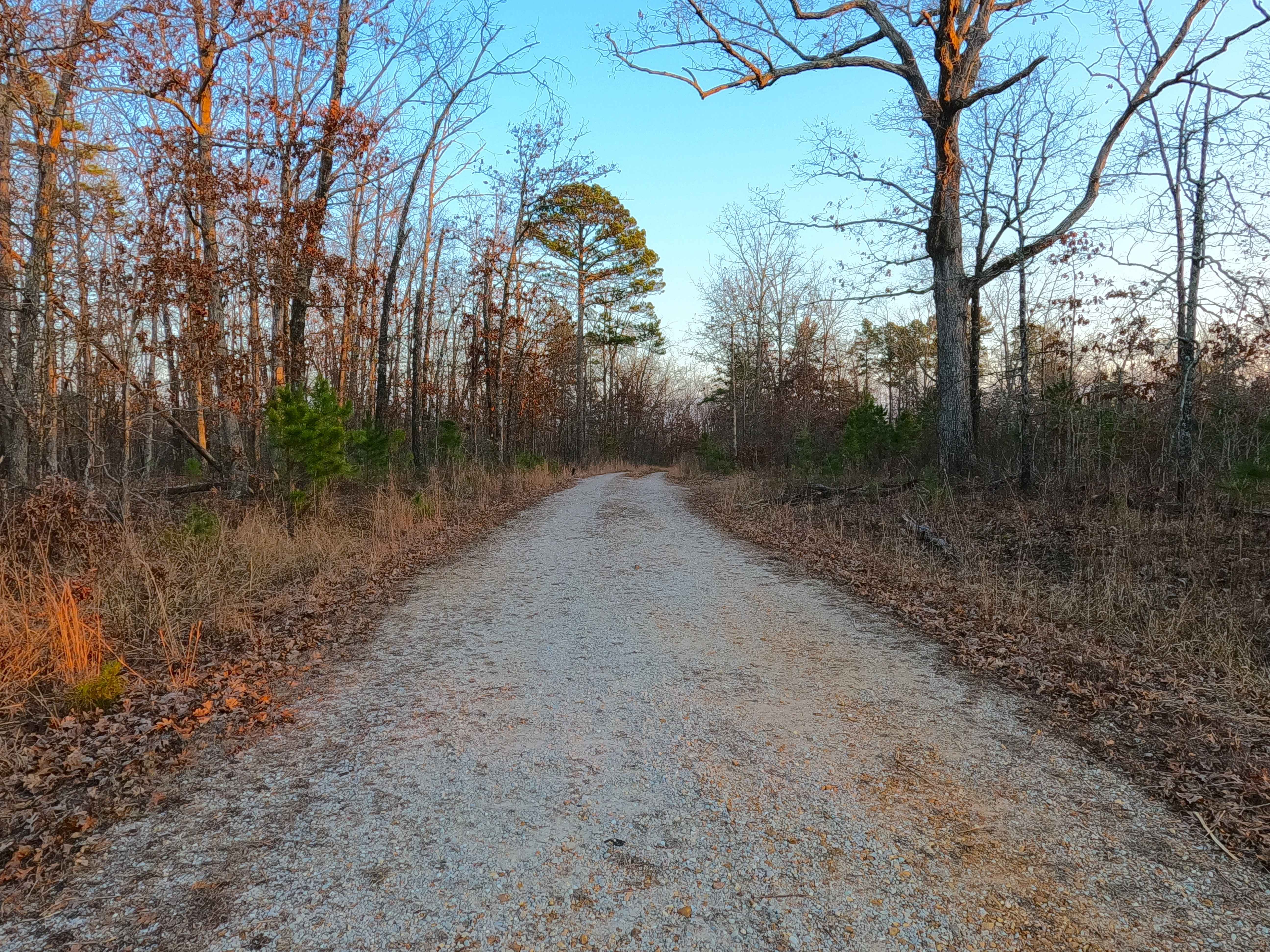
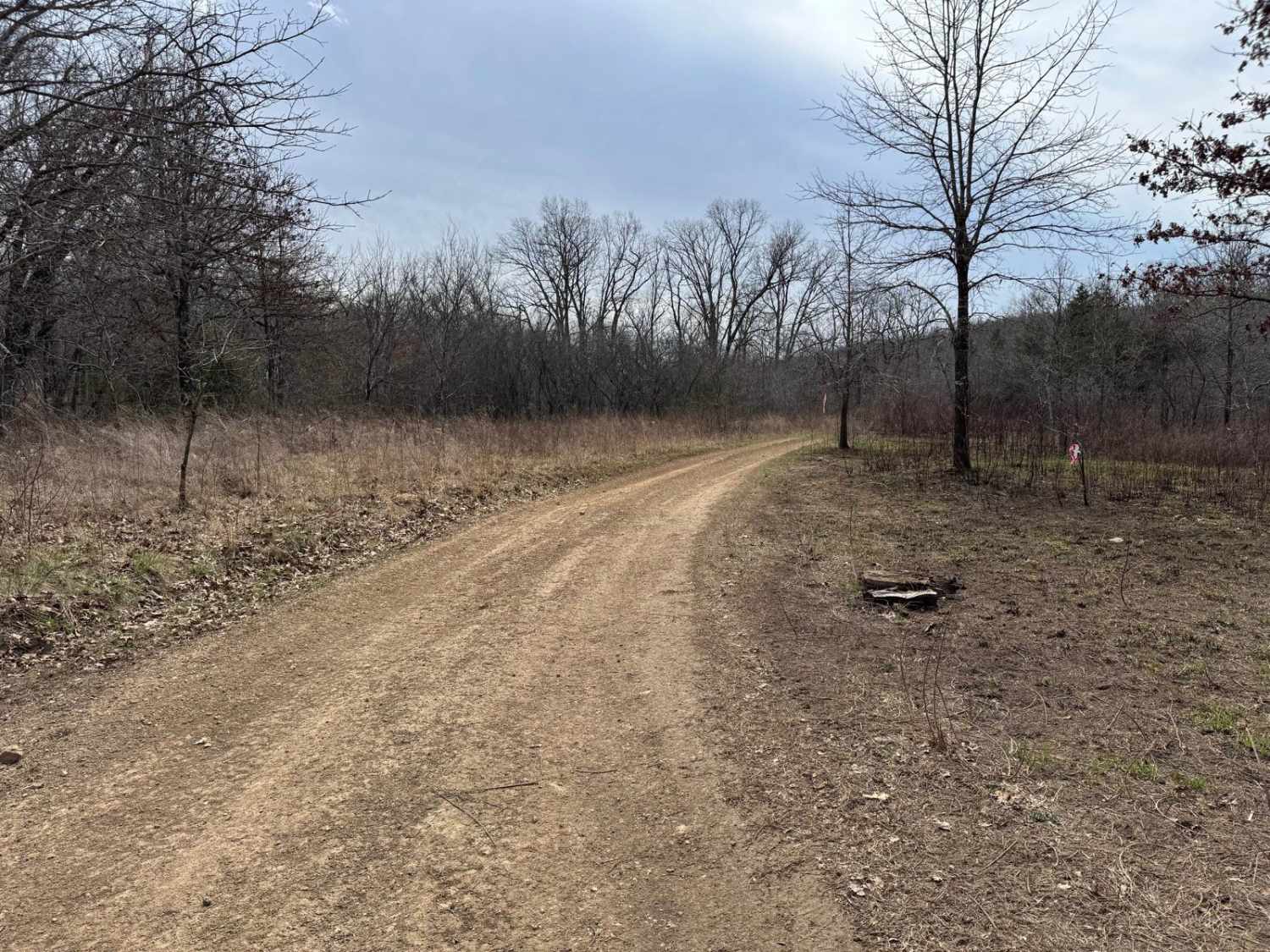
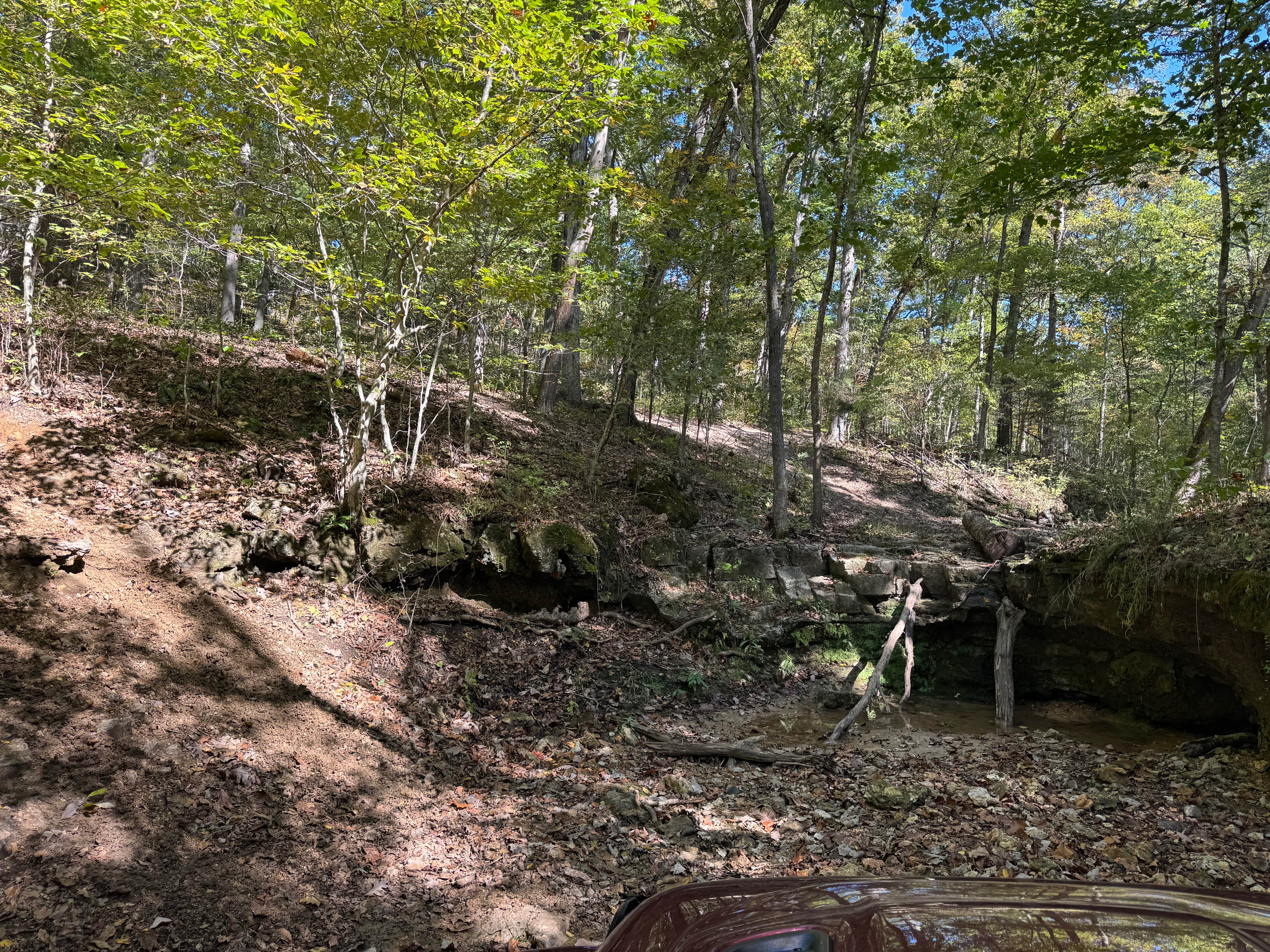
Chug-A-Lug (FS 446) is a Forest Service Road, with a gravel base transforming to a natural base path within the Mark Twain National Forest Willow Springs Unit. Chug-A-Lug heads east off Missouri Route 181, seeming at first to be a maintained gravel road, but shortly upon going down the first hill, it is evident that it has thrill baked into its existence, showing in the erosion ruts forming from rainwater flowing downhill. In this downhill section, a valley to the east deepens as the road becomes more etched into the side of the hill, before reaching the bottom, where the valley, road, and rainwater all seem to meet, being a crossing over naturally placed cobbles and coarse feeder creek gravel eroded, likely to have water pooling during wet conditions. This is followed by climbing uphill where the road parallels closely to the Forest Boundary, before dipping into the second valley, having a similar terrain to the first natural rock feeder creek crossing. From here, the road climbs to the ridge top west of the Indian Creek, giving a unique feel from the first half, slowly turning into a mostly natural dirt path, narrowing, as trees keep growing tighter as it is traversed deeper into the depths of the track. The track ends at a 3-point turn-around spot, with a dirt berm marking where the USFS appropriately intended the ending point for motorized vehicles, at 36.9889, -92.12976. From here on foot or via 4-wheeler, the path continues further south at an even thicker level of natural and tight, until it meets a downed tree blocking the path at 36.98538, -92.13037, roughly 500 feet from where the MVUM-sanctioned end, this section is not advised to travel, as it only seems purposeful for hunting-related activities.
Photos of Chug-A-Lug - FS 446
Difficulty
Chug-A-Lug is given a base rating of 2/10 for having mild hilly grades, mild erosion washes, water splashes in the valleys where feeder creeks channel, and coarse gravel and cobble size rock, with sections of the road that fade to dirt, with a potential to be surface mud, the most southern portion of the road also becomes tight and more natural than the northern gravel based sections before it. Difficulty will increase in times of wet or inclement conditions, potential creek flooding, heavy use, and through a lack of maintenance. With some major maintenance and mending, this road could drop down to the 1/10 rating, if the water erosion spots were improved, the creek crossings had culverts added to them, with the rest of the road had fresh gravel put on it, but this is unlikely.
Status Reports
Chug-A-Lug - FS 446 can be accessed by the following ride types:
- High-Clearance 4x4
- SUV
- SxS (60")
Chug-A-Lug - FS 446 Map
Popular Trails
Clubhouse Bluff - CCR 221
Gary Hollow - FSR 510A
Upper Waterfall

Upper Field Trail
The onX Offroad Difference
onX Offroad combines trail photos, descriptions, difficulty ratings, width restrictions, seasonality, and more in a user-friendly interface. Available on all devices, with offline access and full compatibility with CarPlay and Android Auto. Discover what you’re missing today!