Collins Cemetery Road
Total Miles
0.7
Technical Rating
Best Time
Summer, Spring, Fall, Winter
Trail Type
Full-Width Road
Accessible By
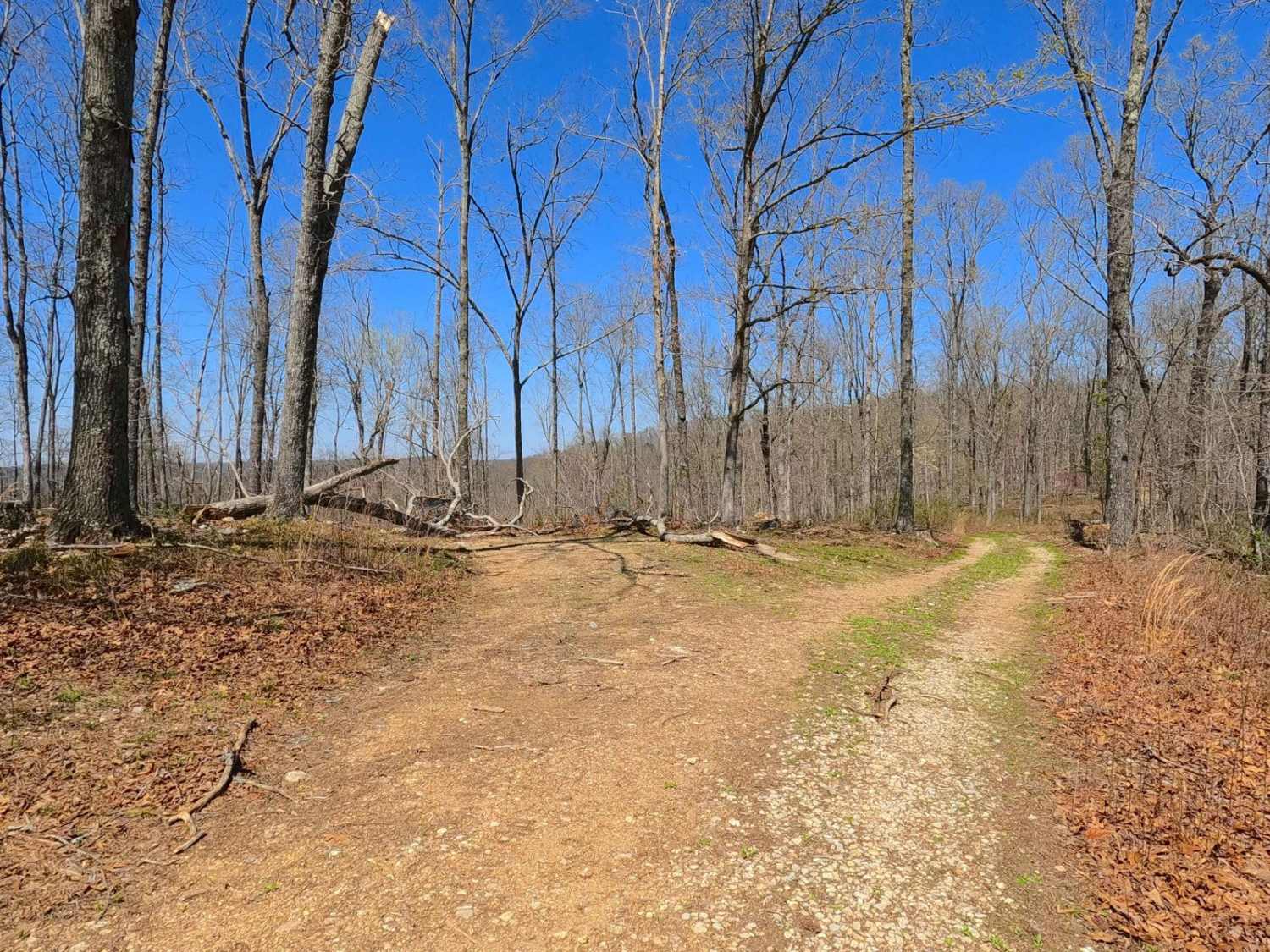
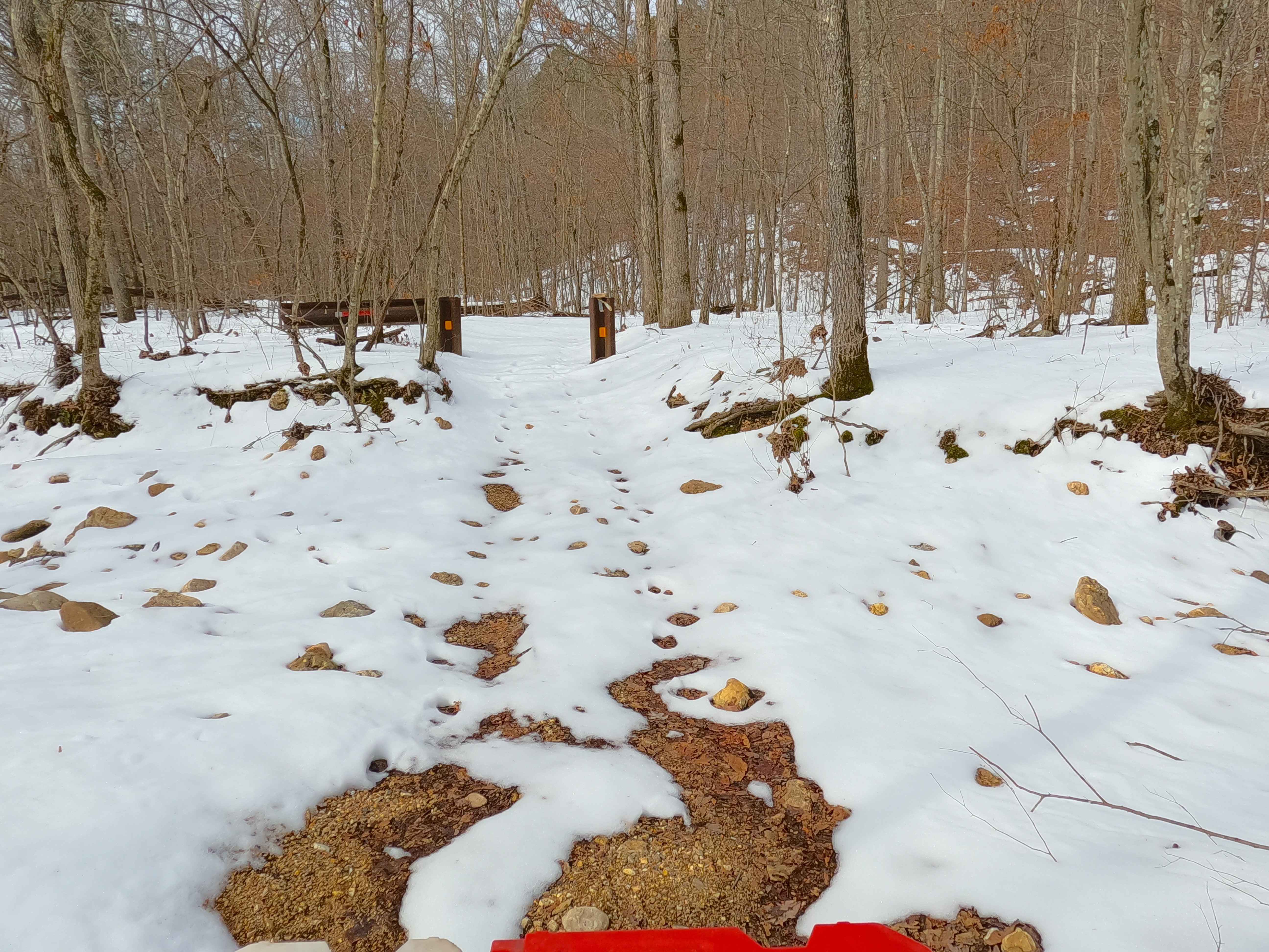
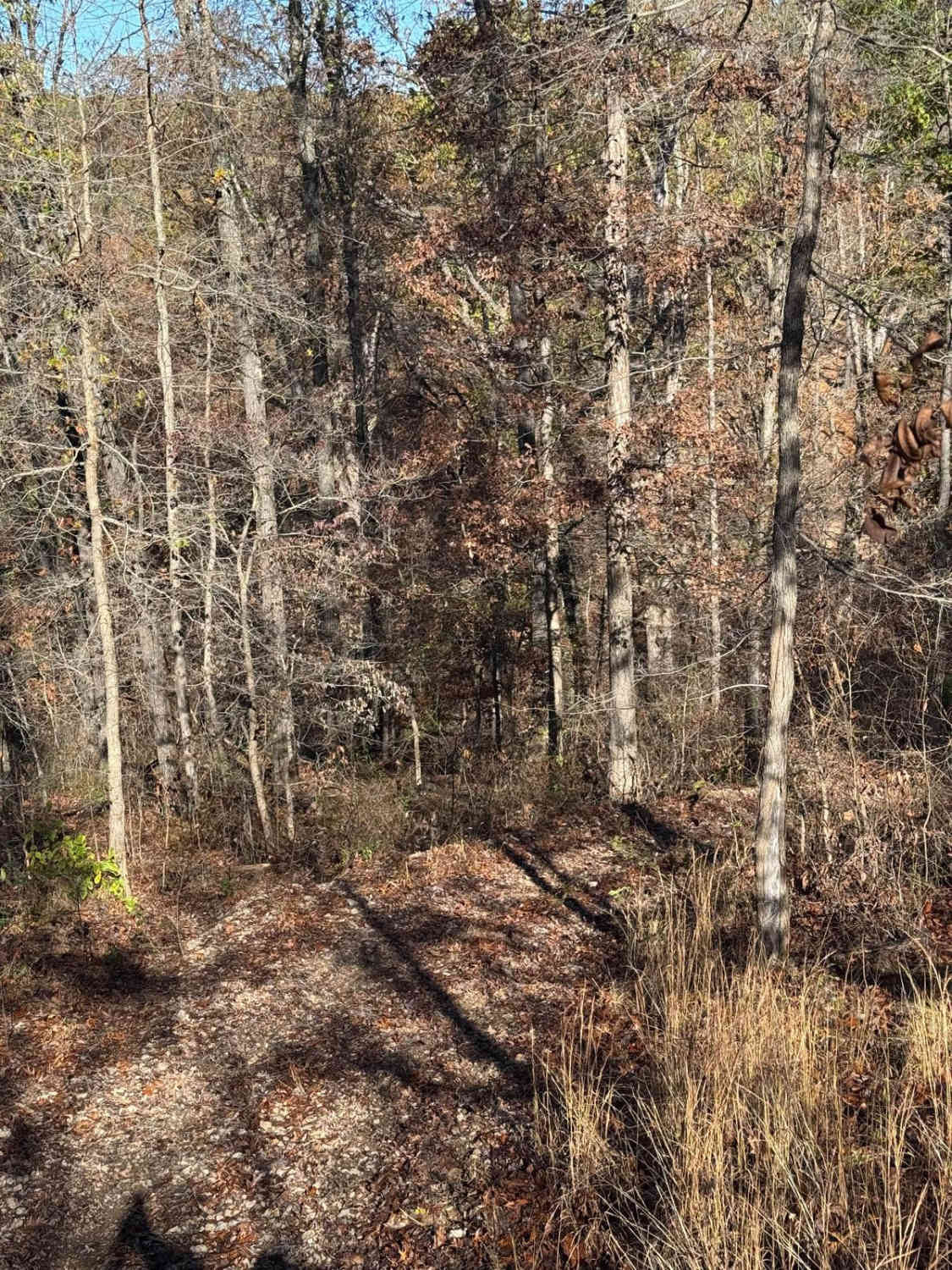
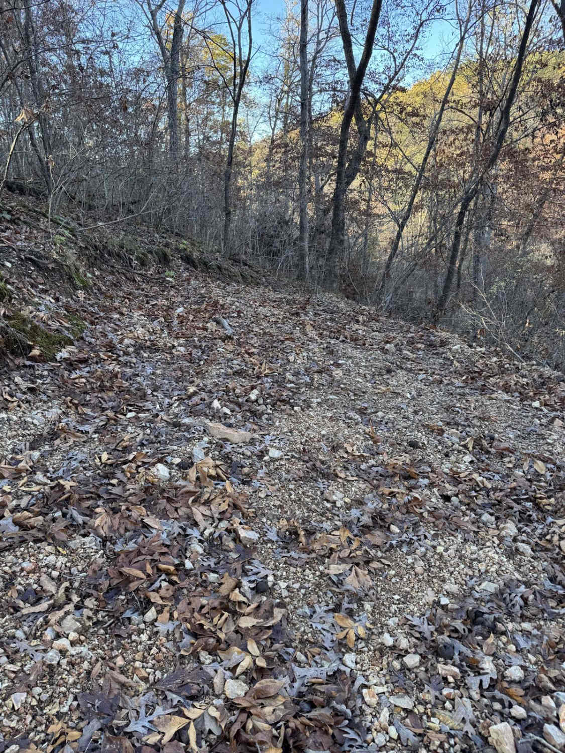
Trail Overview
Collins Cemetery Road or Beal Road is a gravel and natural-terrain road within Rocky Creek, Missouri Department of Conservation Area, and Ozark National Scenic Riverways Land. The track leaves the Beal Ridge road going downhill to the lowland adjacent to the Current River, where the Collins Cemetery and the former settlement of Beal rest. Features along the way include a coarse natural gravel and dirt mix, with random loose cobbles and natural rock in the pathway, the final stretch of track flattening out between two small turnaround/lots, the first being surrounded by yucca's is the closest to the former settlement of Beal, located at 37.1134, -91.09635, and then following the stretch of active erosion and surface mud to the conclusion of the track at the second turnaround/lot and Collins Cemetery at 37.11386, -91.09813.
Photos of Collins Cemetery Road

Difficulty
Collins cemetery is given a base rating of 2/10 for the mild-moderate steep grade leading into the bottom low lands, with mild active 6-12" deep erosion throughout the track, featuring randomly placed cobbles (4-10" rocks) natural rock poking out at the surface, with low traction surface mud near the tracks end amongst 12" deep active erosion channels. Difficulty can increase in times of rain or wet conditions, making the surface mud even softer and causing more erosion, but the flip side is that difficulty could decrease if the road were to be graded or mended with fresh gravel. It is advised to let the final stretch of road leading to the cemetery dry out before use if there was recent rain.
History
The State Historic Society of Missouri had this note about Beal, Missouri, in a 1939 note, "A discontinued post office (1922-1930) in Grassy Township. Named in honor of William Beal, farmer and postmaster." A 1928 topo of Cardareva, Missouri, shows that Beal had several structures in the settlement, and was very close to the Black Ford, a crossing point through the Current River to get to the north side and access the Cardareva (also known as Cotoreva) Schoolhouse. According to the State Historic Society, in 1939, the school was named after "Chief Cotoreva, who saved the early settlers from massacre. He is buried near the school." The 1949 edition of the same Cardareva, Missouri topo, the features and names still show Black Ford, Beal, and Cardareva School, but by 1965 the North Van Buren and Stegall Mountain topos, drop the Black Ford and Cardareva School names and notations, but rather the Cardareva and Beal State Forest names begin to appear, with 1986 maps showing the Ozark National Scenic Riverways land pockets forming along the river. The State Forest names were being phased into the Conservation Area name plates by 1997, and ultimately both ended up being part of the larger Rocky Creek Conservation Area. Collins Cemetery features burials of past lives ranging from the 1850s to the 1940s, with the most recent confirmed burial being in 1966. Please show respect to those who came before us and leave the cemetery as or better than it was found.
Status Reports
Collins Cemetery Road can be accessed by the following ride types:
- High-Clearance 4x4
- SUV
Collins Cemetery Road Map
Popular Trails
Sutton Bluff ATV 8 West - SB 8
Yellow 126
Yellow 144

Stegall Tower - CCR 159
The onX Offroad Difference
onX Offroad combines trail photos, descriptions, difficulty ratings, width restrictions, seasonality, and more in a user-friendly interface. Available on all devices, with offline access and full compatibility with CarPlay and Android Auto. Discover what you’re missing today!