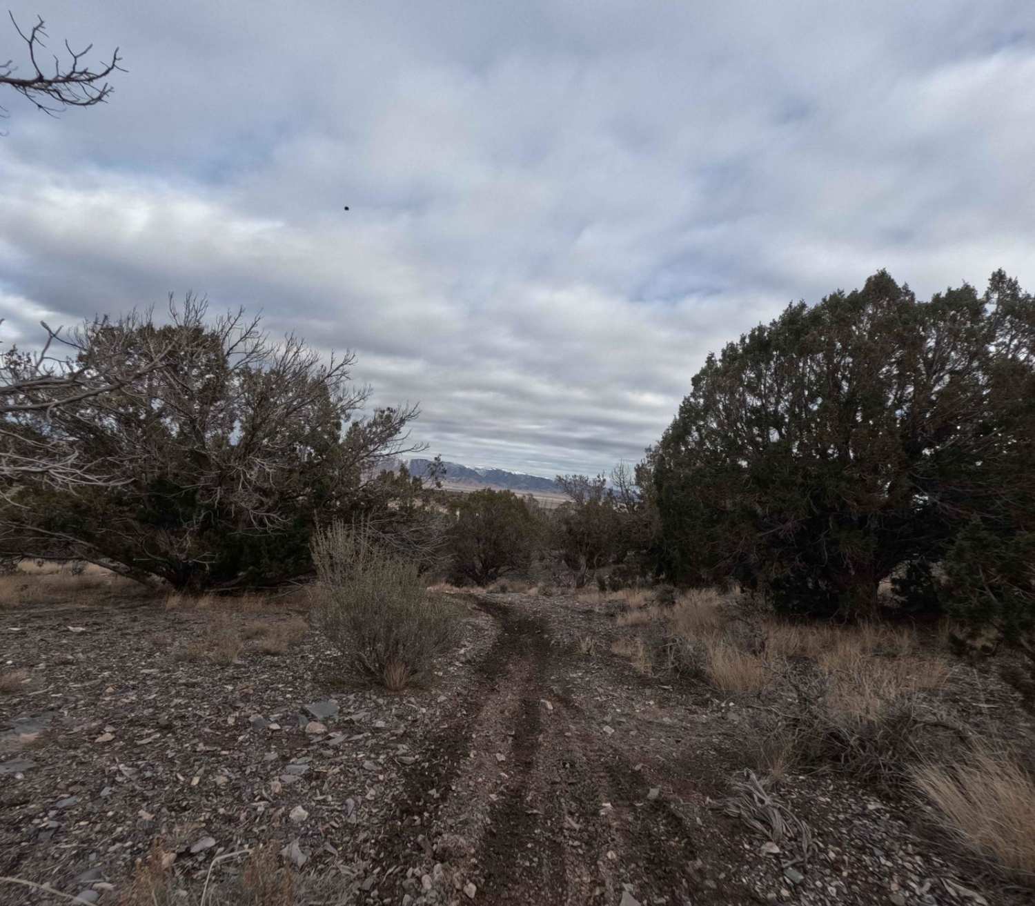
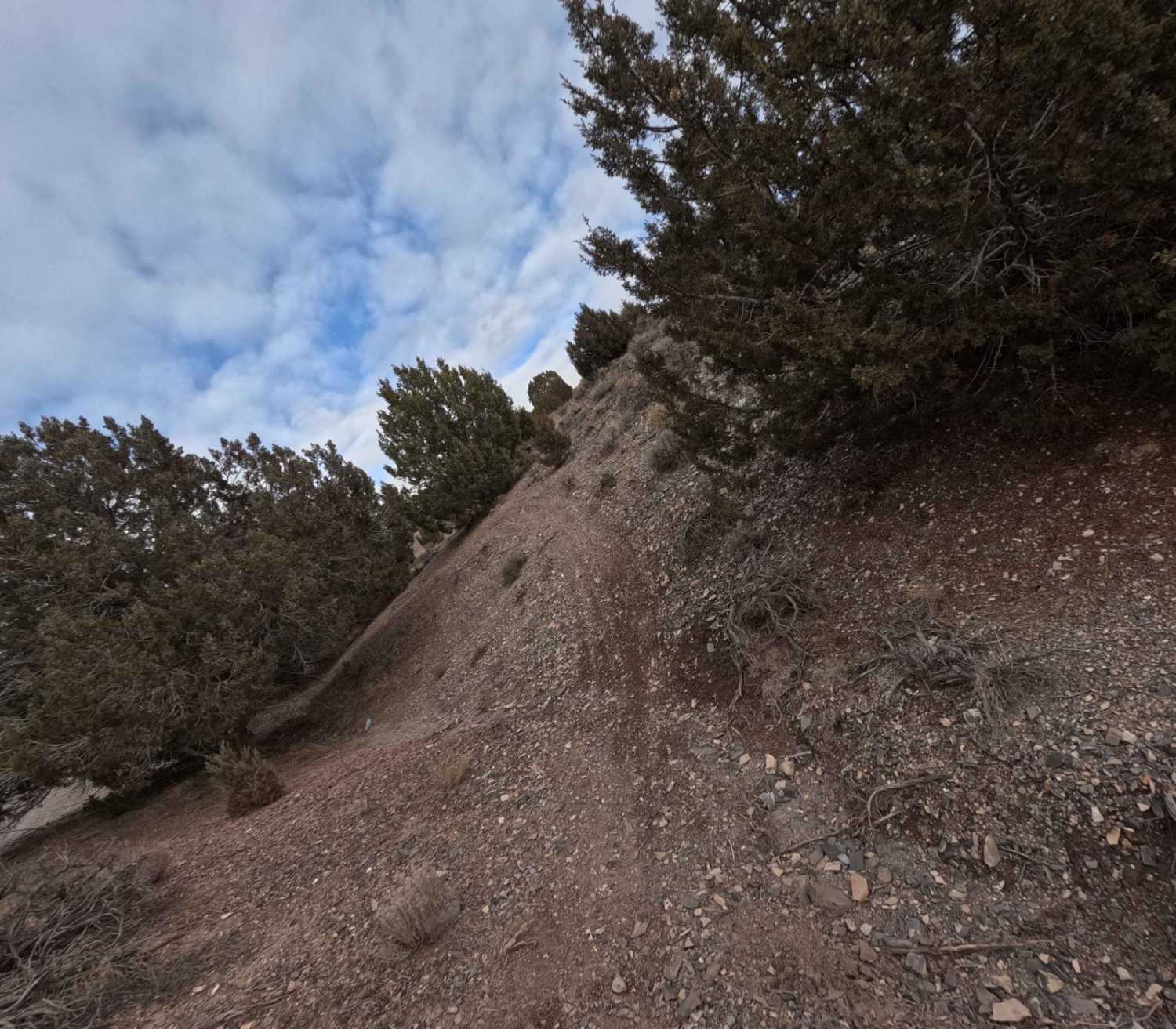
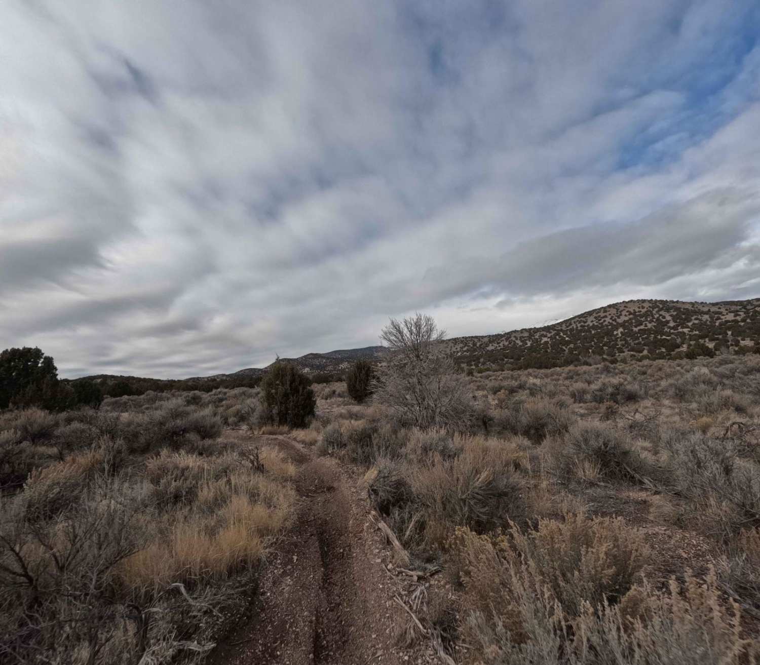
Off-Road Trails in Utah
Discover off-road trails in Utah

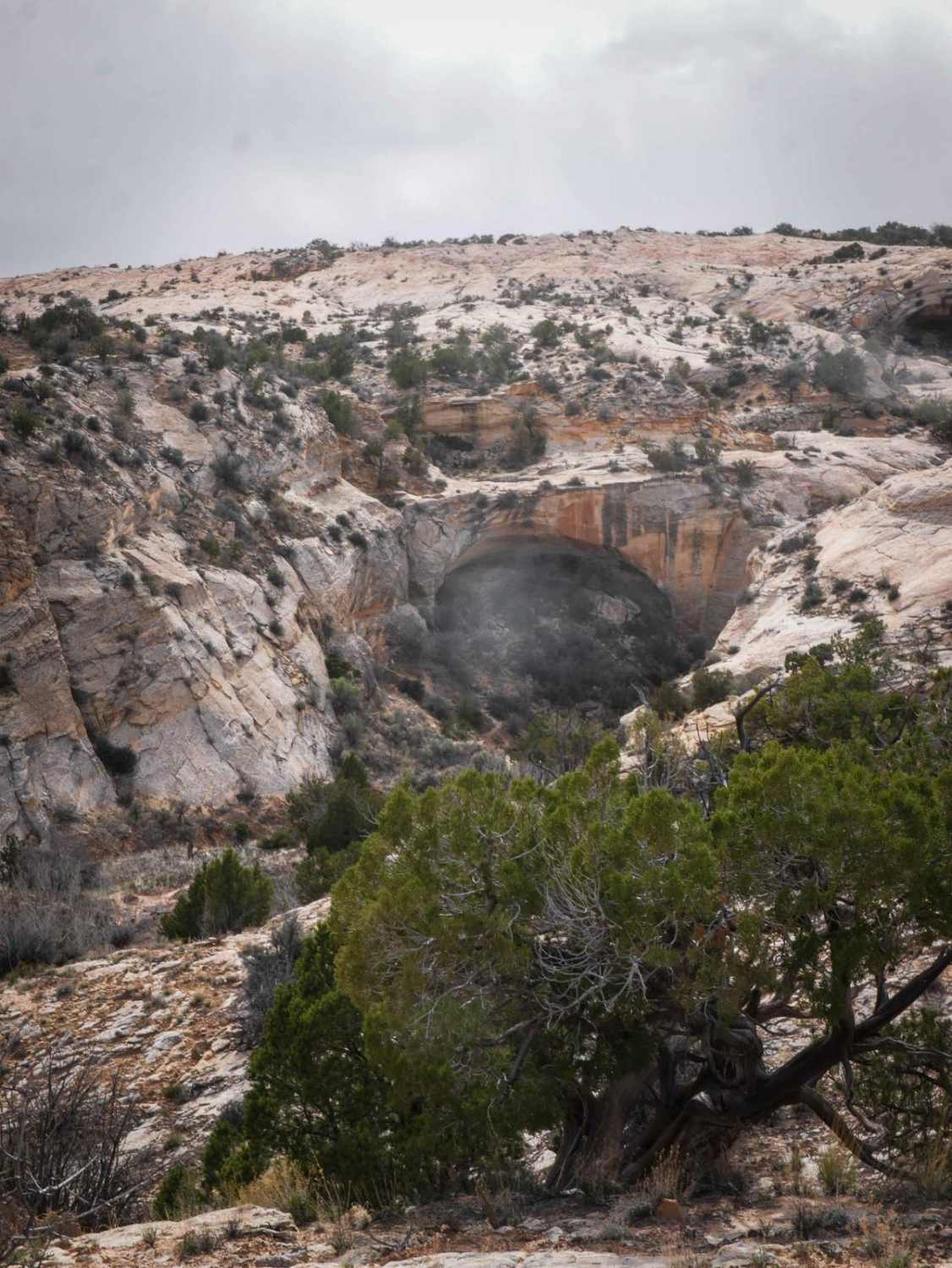
Learn more about 14 Mile Road
14 Mile Road
Total Miles
14.7
Tech Rating
Easy
Best Time
Spring, Summer, Fall, Winter


Learn more about 274 Shumway Mines Road
274 Shumway Mines Road
Total Miles
1.2
Tech Rating
Easy
Best Time
Spring, Fall
Learn more about 30129 Sanford-Smith Canyon-Fremont ATV
30129 Sanford-Smith Canyon-Fremont ATV
Total Miles
19.4
Tech Rating
Easy
Best Time
Spring, Summer, Fall
Learn more about 30323 - Wildcat Trail
30323 - Wildcat Trail
Total Miles
0.9
Tech Rating
Easy
Best Time
Spring, Summer, Fall

Learn more about 35158 - Pleasant Cr Trail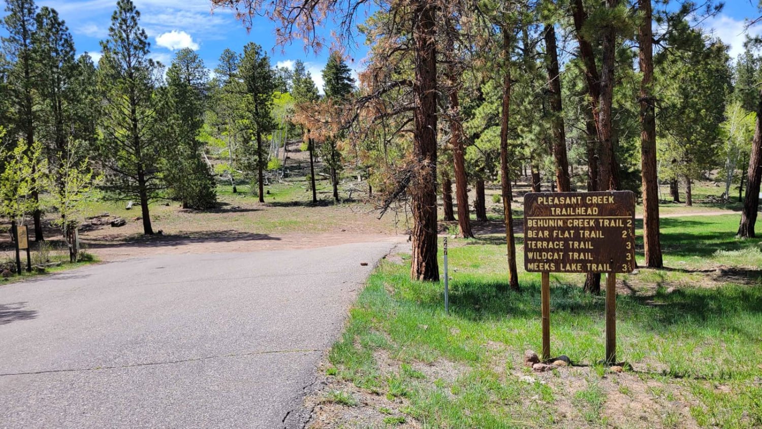
35158 - Pleasant Cr Trail
Total Miles
4.5
Tech Rating
Easy
Best Time
Spring, Fall, Summer

Learn more about 5 Miles of Hell
5 Miles of Hell
Total Miles
18.5
Tech Rating
Extreme
Best Time
Spring, Fall, Winter


ATV trails in Utah
Learn more about 14 Mile Road
14 Mile Road
Total Miles
14.7
Tech Rating
Easy
Best Time
Spring, Summer, Fall, Winter
UTV/side-by-side trails in Utah
Learn more about Butch Cassidy Trail
Butch Cassidy Trail
Total Miles
3.6
Tech Rating
Easy
Best Time
Spring, Summer, Fall
Learn more about Butch Cassidy's Hideout - FS 30121
Butch Cassidy's Hideout - FS 30121
Total Miles
1.5
Tech Rating
Easy
Best Time
Spring, Summer, Fall
Learn more about Butler Springs Trail - FS40359
Butler Springs Trail - FS40359
Total Miles
2.1
Tech Rating
Easy
Best Time
Spring, Summer, Fall
The onX Offroad Difference
onX Offroad combines trail photos, descriptions, difficulty ratings, width restrictions, seasonality, and more in a user-friendly interface. Available on all devices, with offline access and full compatibility with CarPlay and Android Auto. Discover what you’re missing today!