431
Total Miles
0.9
Technical Rating
Best Time
Summer, Spring, Fall
Trail Type
50" Trail
Accessible By
Trail Overview
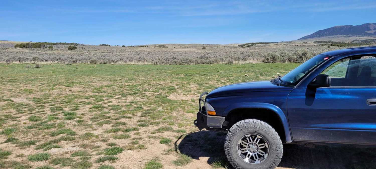
431 is a short ATV route that starts at the Chalk Creek Trailhead and goes into the Fishlake National Forest for a mile until it connects with 327. The trail is decently wide and easy for vehicles 50" or less for the whole route. It meanders into the mountains, through grassy rolling hills, mostly on a dirt two-track with intermittent loose and embedded rocks. The rocks are up to football-sized and don't really affect the difficulty of the trail. There are a few steeper spots as it starts to gain elevation, but it's mostly gradual as it cuts across the hillsides. The views are amazing of the surrounding Pavant Range. Although open year-round, this area gets frequent snow in winter, and the trail can be muddy in early spring. There are a couple of small creek crossings that will likely be higher water in the spring. It connects with 327 at the start of a big hill climb, but it's more of a continuation of the trail rather than an intersection.
Photos of 431


Difficulty
This trail is easy for average riders, with only a couple of steep spots and a bit of rock, but no major obstacles.
Status Reports
431 can be accessed by the following ride types:
- ATV (50")
- Dirt Bike
431 Map
Popular Trails

Hog Canyon 4 West to White Pinnacles (BLM HC4)

Red Rocks Trail
Cherry Creek Road

Four Arches Canyon
The onX Offroad Difference
onX Offroad combines trail photos, descriptions, difficulty ratings, width restrictions, seasonality, and more in a user-friendly interface. Available on all devices, with offline access and full compatibility with CarPlay and Android Auto. Discover what you’re missing today!