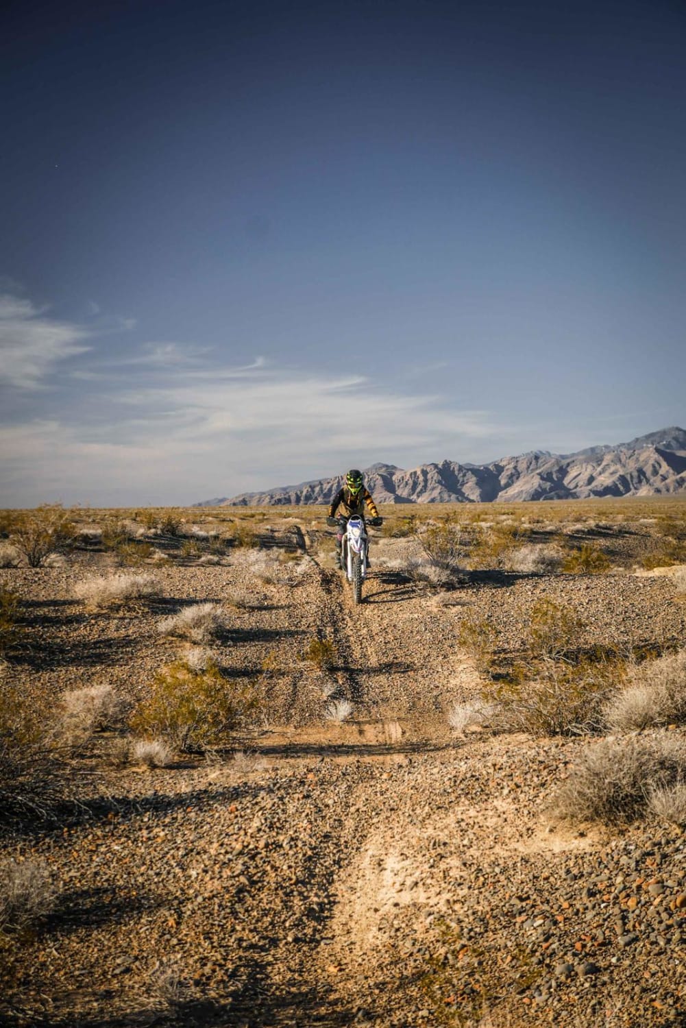
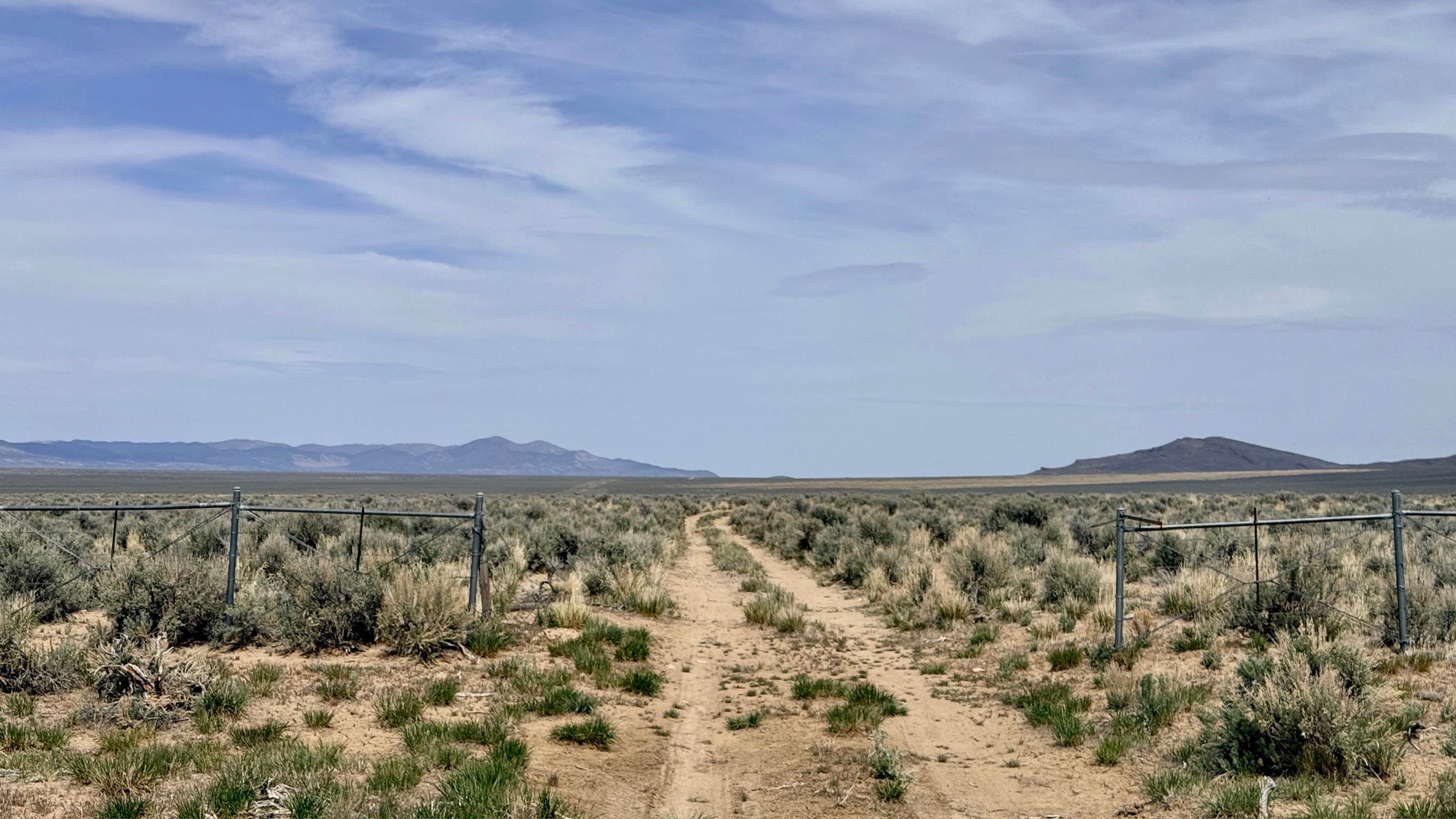
Off-Road Trails in Nevada
Discover off-road trails in Nevada
Learn more about Airport Cove Loop 
Airport Cove Loop
Total Miles
0.4
Tech Rating
Easy
Best Time
Spring, Fall
Learn more about Alabama Mine Ruins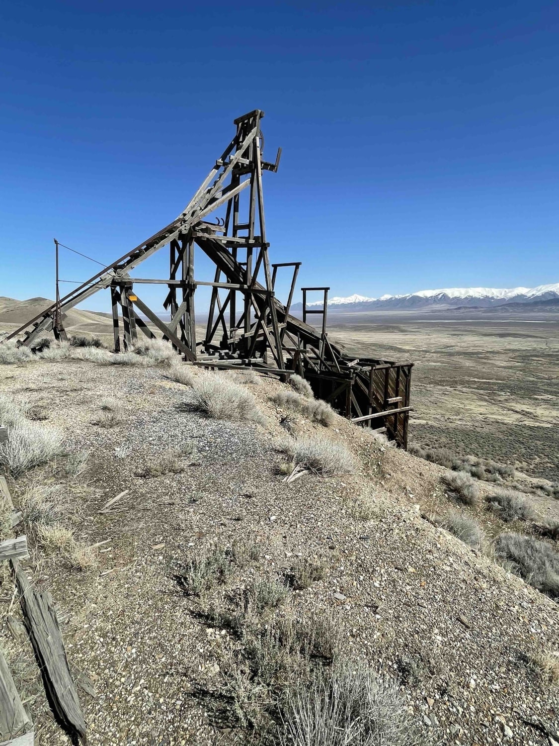
Alabama Mine Ruins
Total Miles
24.4
Tech Rating
Moderate
Best Time
Summer, Fall
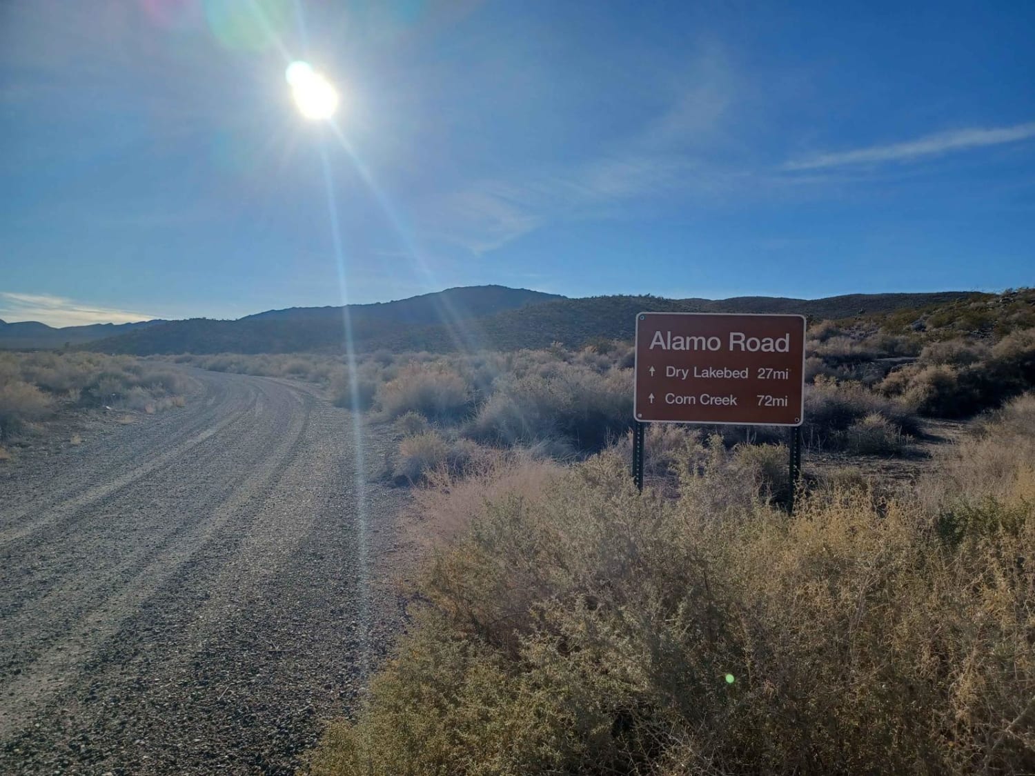
Learn more about Alamo Canyon Road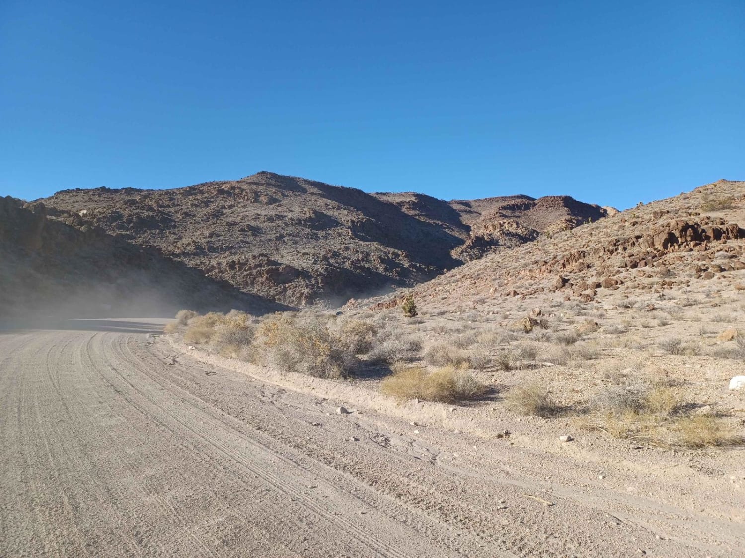
Alamo Canyon Road
Total Miles
14.8
Tech Rating
Easy
Best Time
Spring, Summer, Fall
Learn more about Antelope Creek - FS 44430
Antelope Creek - FS 44430
Total Miles
2.6
Tech Rating
Easy
Best Time
Spring, Summer, Fall
Learn more about Apache Mercury Claims 
Apache Mercury Claims
Total Miles
1.9
Tech Rating
Easy
Best Time
Winter, Fall, Summer, Spring
Learn more about Apex Mine Alternate FS43238
Apex Mine Alternate FS43238
Total Miles
3.1
Tech Rating
Easy
Best Time
Spring, Summer, Fall
Learn more about Austin Summit - FS 43233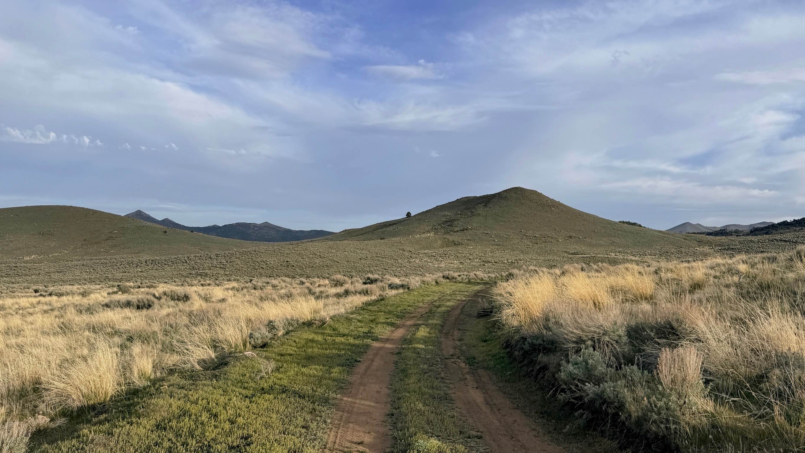
Austin Summit - FS 43233
Total Miles
3.2
Tech Rating
Easy
Best Time
Spring, Summer, Fall
Learn more about Aztec Wash Road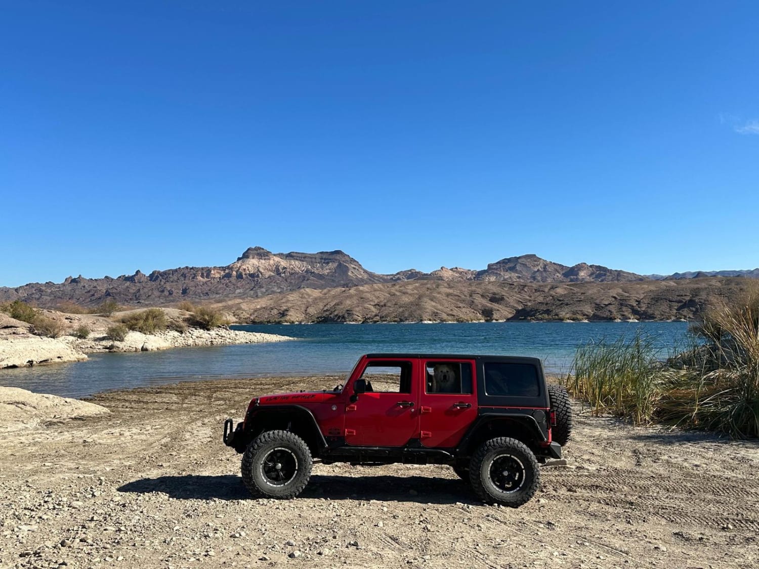
Aztec Wash Road
Total Miles
10.4
Tech Rating
Easy
Best Time
Spring, Summer, Fall, Winter
Learn more about Babes Bluff Road 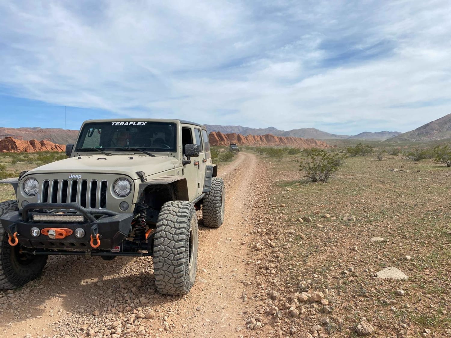
Babes Bluff Road
Total Miles
1.9
Tech Rating
Easy
Best Time
Spring, Summer, Fall, Winter
Learn more about Backway to Marietta
Backway to Marietta
Total Miles
28.6
Tech Rating
Moderate
Best Time
Spring, Summer, Fall
Learn more about Backway to Seven Magic Mountains
Backway to Seven Magic Mountains
Total Miles
14.5
Tech Rating
Easy
Best Time
Spring, Summer, Fall, Winter
Learn more about Backway to Wilson Spring Arch
Backway to Wilson Spring Arch
Total Miles
13.2
Tech Rating
Easy
Best Time
Spring, Summer, Fall
Learn more about Bade Creek Bypass - FS 43224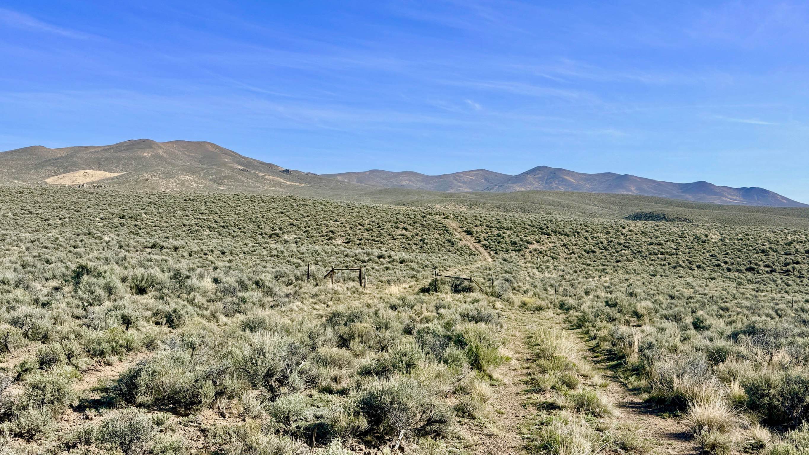
Bade Creek Bypass - FS 43224
Total Miles
1.8
Tech Rating
Easy
Best Time
Spring, Summer, Fall
ATV trails in Nevada
Learn more about "Just Found It" Trail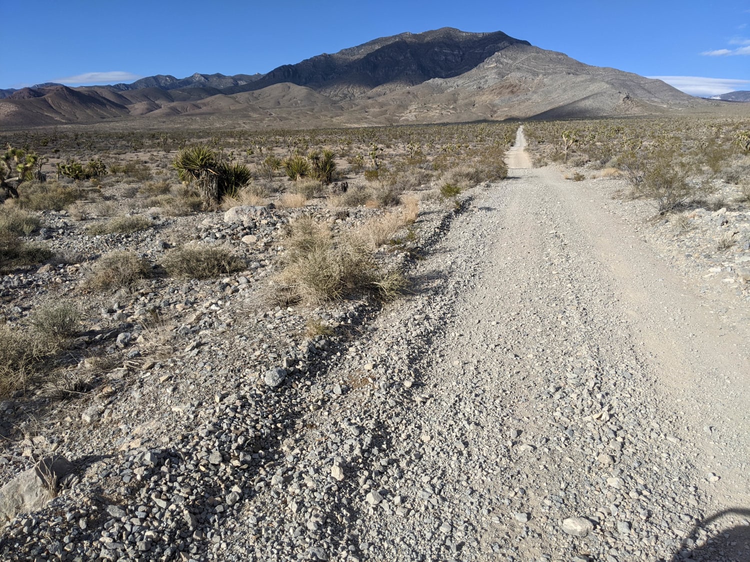
"Just Found It" Trail
Total Miles
3.4
Tech Rating
Easy
Best Time
Spring, Summer, Fall, Winter
Learn more about 13-Mile Loop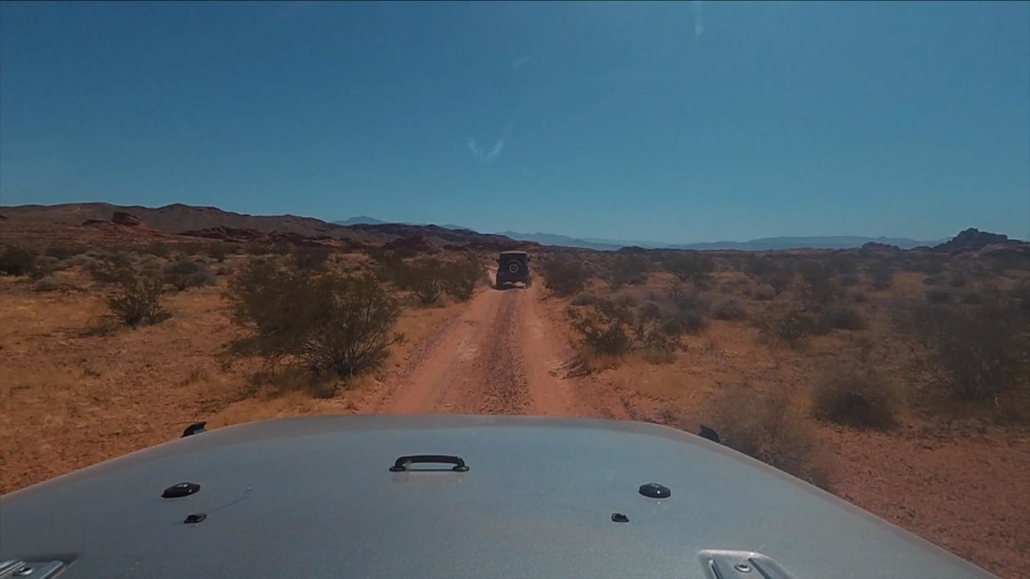
13-Mile Loop
Total Miles
17.4
Tech Rating
Easy
Best Time
Spring, Summer, Fall, Winter
Learn more about 1947 Bunker Trail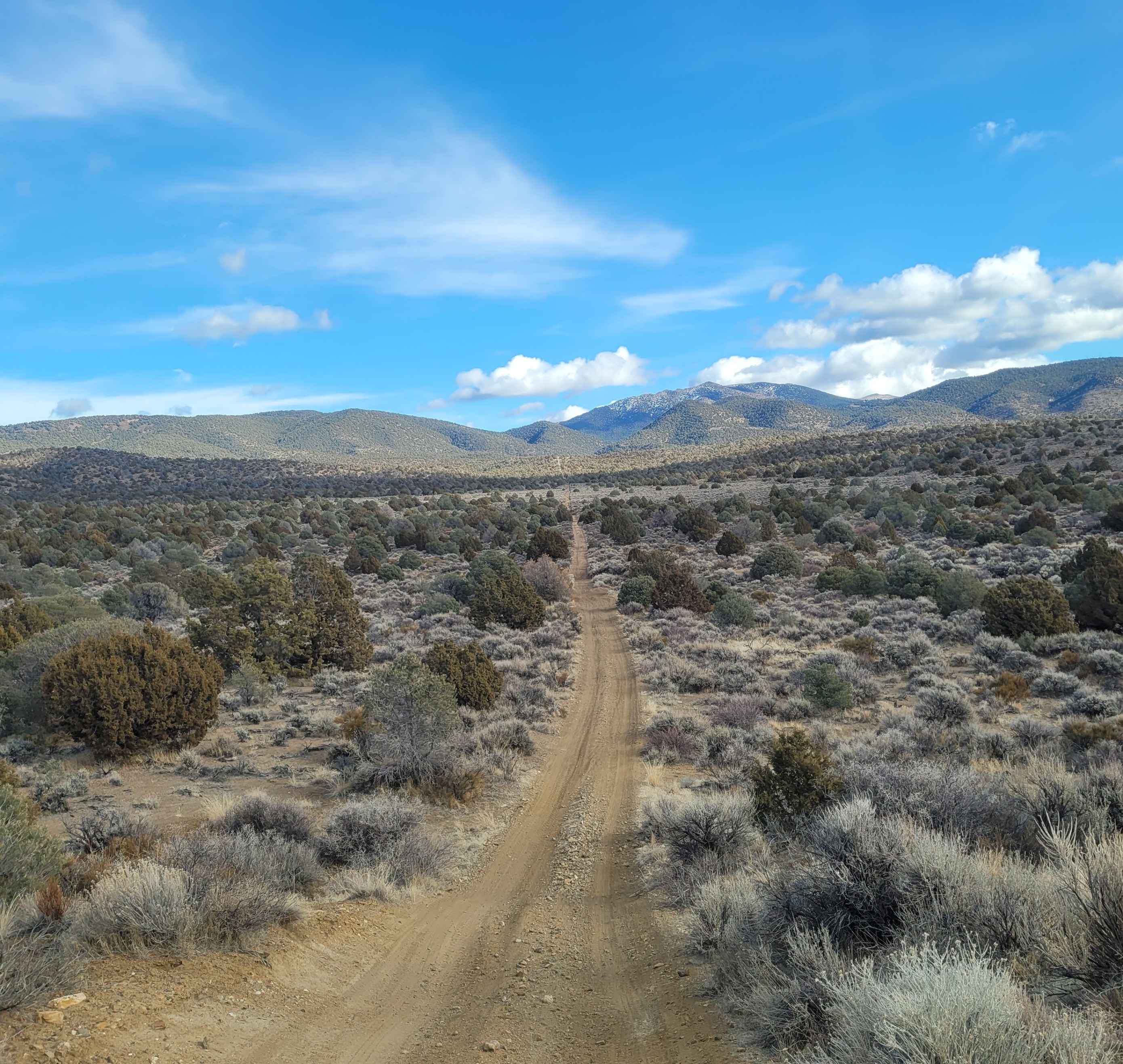
1947 Bunker Trail
Total Miles
6.5
Tech Rating
Easy
Best Time
Summer, Fall
Learn more about 265 Camping Crossover
265 Camping Crossover
Total Miles
2.3
Tech Rating
Easy
Best Time
Fall, Spring, Winter
UTV/side-by-side trails in Nevada
Learn more about "Just Found It" Trail
"Just Found It" Trail
Total Miles
3.4
Tech Rating
Easy
Best Time
Spring, Summer, Fall, Winter
Learn more about 13-Mile Loop
13-Mile Loop
Total Miles
17.4
Tech Rating
Easy
Best Time
Spring, Summer, Fall, Winter
Learn more about 1947 Bunker Trail
1947 Bunker Trail
Total Miles
6.5
Tech Rating
Easy
Best Time
Summer, Fall
Learn more about 265 Camping Crossover
265 Camping Crossover
Total Miles
2.3
Tech Rating
Easy
Best Time
Fall, Spring, Winter
The onX Offroad Difference
onX Offroad combines trail photos, descriptions, difficulty ratings, width restrictions, seasonality, and more in a user-friendly interface. Available on all devices, with offline access and full compatibility with CarPlay and Android Auto. Discover what you’re missing today!